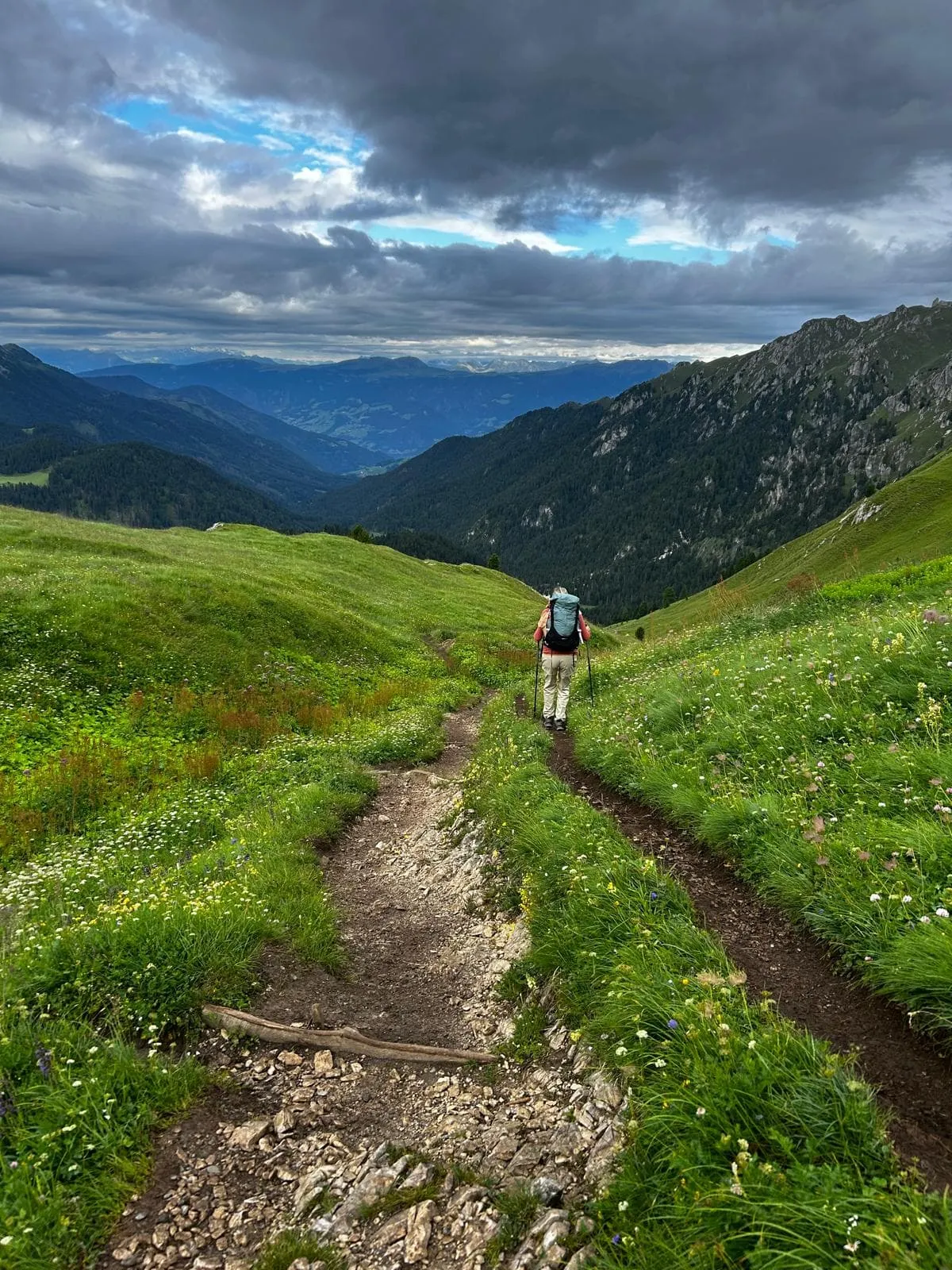
Relaxed Dolorama Weg

  • Duration
    Total 5 days
    Average 4 h 14m
  • Distance
    Total 61.9 km
    Average 12.4 km
  • Ascent
    Total +2050 m
    Average +410 m
  • Descent
    Total -2640 m
    Average -528 m

> No technical difficulties
> Stay overnight in cozy Italian rifugios
> Discover the Dolomites at a relaxed pace

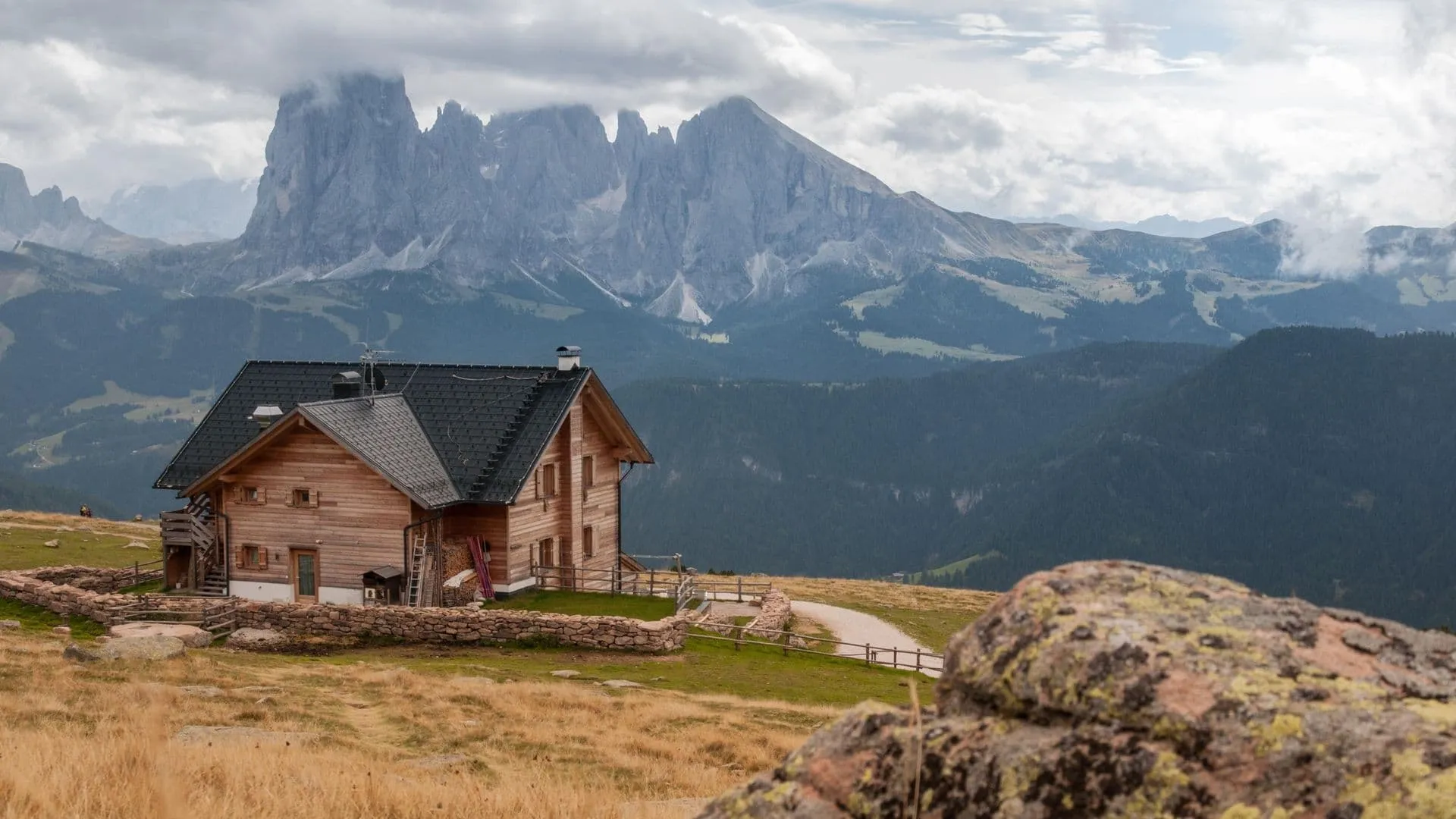
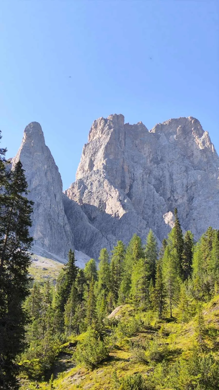
If you are looking for a hiking vacation that is not too technically difficult, the Dolorama Way in Italy is the perfect match for you. In addition to the popular Alta Via 1 and Alta Via 2, this hike also gives you the chance to discover the beauty of the Dolomites.

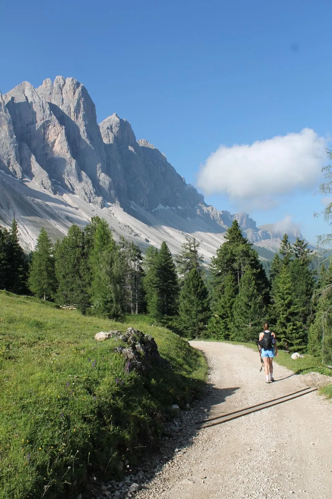
The distance of the complete route is 61 kilometers divided into 5 stages. Through the well-marked mountain trails you will walk between rock formations and vast Alpine meadows. This 5-day package is suitable for any hiker with a good basic condition and therefore perfect as a first introduction to a hut tour. Because we have divided the first stage over 2 days, the tour becomes a lot more relaxed. If you're looking for a beginner-friendly trek or a 5-day hut-to-hut adventure in the Dolomites, this is the ideal choice!

Itinerary

Day
1

Rodeneck - Kreuzwiesenhütte

Duration: 02:45 h
Distance: 9.18 km
Ascent: 300 m
Descent: 110 m

The first stage of the hike starts at the Zumis parking lot. You can take the bus from Rodeneck, or park your car at the paid parking lot near the starting point.

Through the Schöpfungsweg you walk to the Roner Alm. Once here, follow path no. 2 in a southeasterly direction until you reach the Rastner- or Starkenfeldhütte. This is a good time to take your first break since you have completed the first 6 kilometers. After the Starkenfeldhütte, continue your way to the Steiner Alm, a short hike of about 1.5 kilometers. From the Steiner Alm, it's another 2 kilometers until you reach the first mountain hut of the hike, the Kreuzwiesenhütte.

Lunch: There are several huts along today's route where you can stop for food or refreshments, including Roner Alm, Rastnerhütte and Starkenfeldhütte. Opening times can vary throughout the season, so carrying some snacks as a backup is recommended.

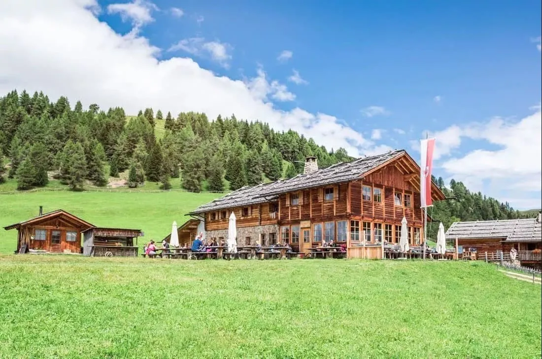
Kreuzwiesenhütte

Info
Kreuzwiesenhütte
Kreuzwiesenhütte
Day
2

Kreuzwiesenhütte - Rifugio Monte Muro (Maurerberghütte)

Duration: 04:50 h
Distance: 12.6 km
Ascent: 570 m
Descent: 350 m

Today the hike begins on trail 12 and after a good kilometer of hiking you continue on trail 10. Continue your hike towards Campill and take a moment here to take in the panorama of both the Austrian and South Tyrolean Alps. Continue on for 3 kilometers and walk towards the chapel of the Jakobsstöckl. After another 3 kilometers you will reach the Glittner See, or Lago di Rina. Between Lago di Rina and the Furc de Lijun pass, you can make a short optional detour to the Munt da Rina (Welschellener Alm), where you can stop for food or refreshments before continuing your hike. Back on the main trail, continue up to the Furc de Lijun pass. From here you can count down, because if you follow trail 1, it's only 2.5 kilometers to the Maurerberghütte (2,157m).

Lunch: Munt da Rina is the main lunch option on today's stage and requires a short detour from the route. Opening days and hours can vary, so check ahead and consider bringing a packed lunch or snacks as a backup.

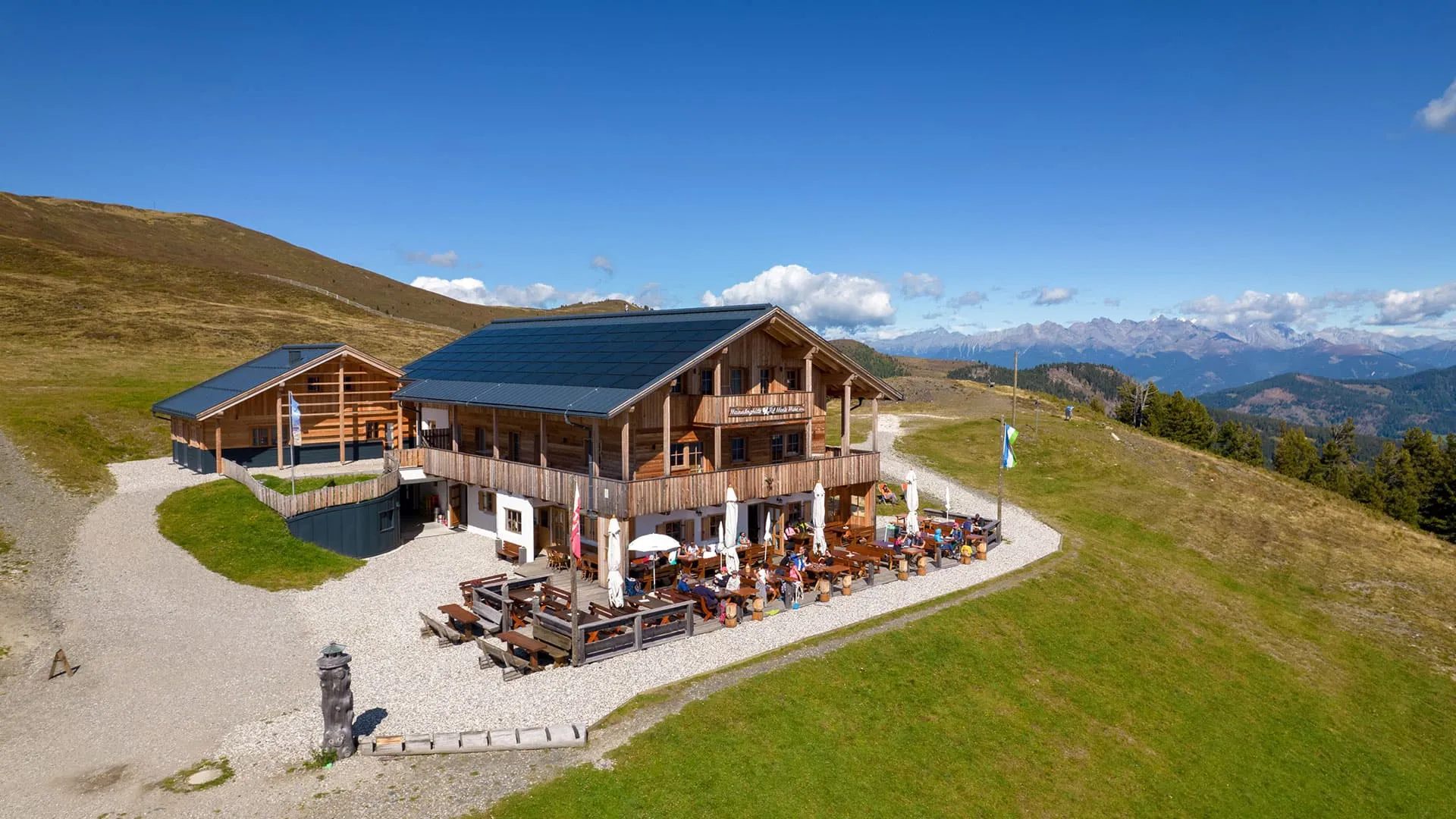
Rifugio Monte Muro (Maurerberghütte)

Info
Rifugio Monte Muro (Maurerberghütte)
Day
3

Maurerberghütte ‘Rifugio Monte Muro’ - Schlütterhütte ‘Rifugio Genova’

Duration: 04:40 h
Distance: 14.4 km
Ascent: 660 m
Descent: 450 m

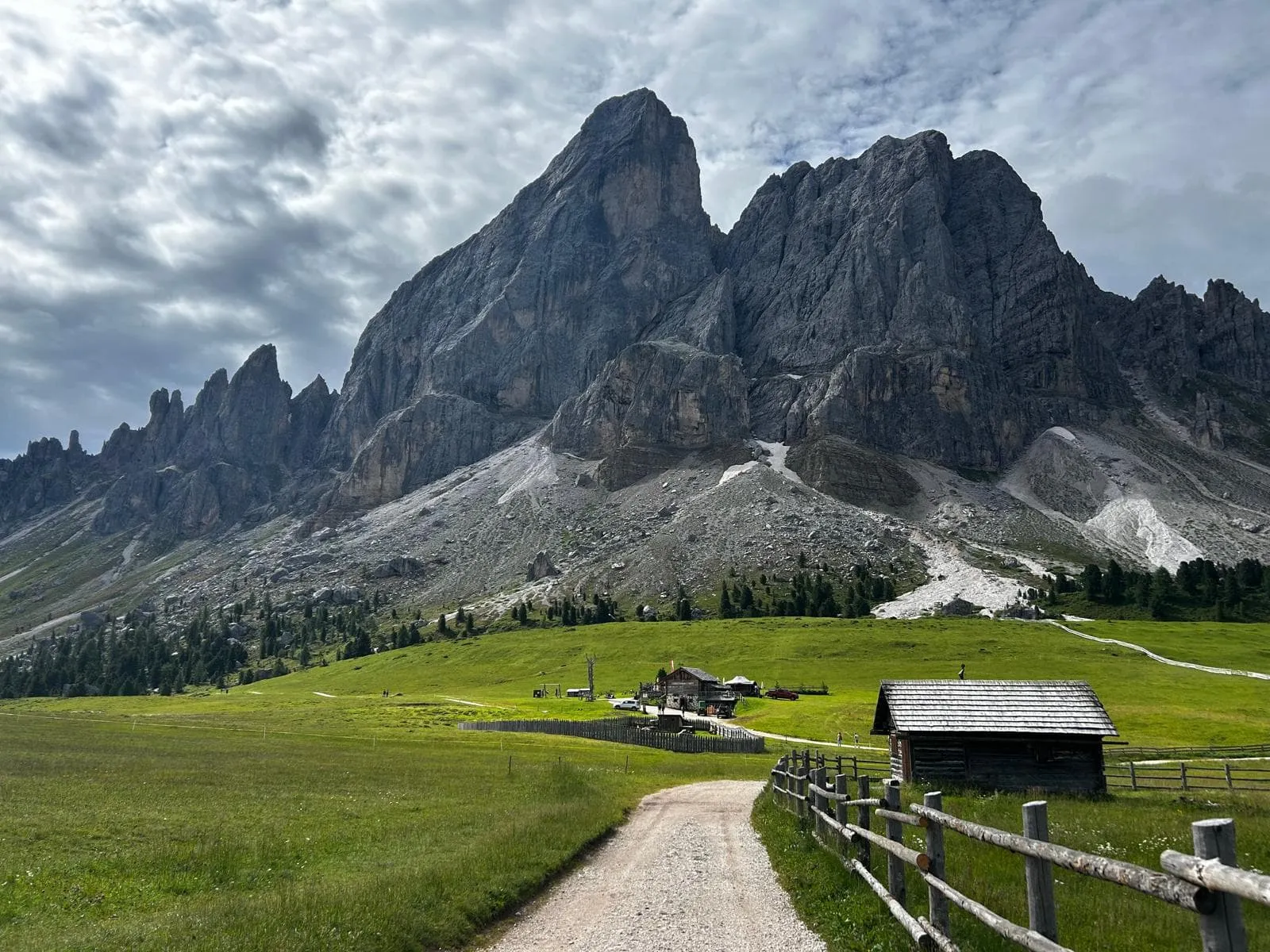
Today you start from the Maurerberghütte. This hike starts on trail 1 and takes you south to the Würzjoch, the moment you hike into the UNESCO World Heritage Dolomites! This hike is about 3.5 kilometers. Here you continue your way on trail 8A, which quickly turns into 8B. During this hike you will walk along the Peitlerkofel at the foot of the Geisler group, with beautiful views along the way.

After 4.5 kilometers you'll arrive at Göma-Joch at an altitude of 2,100 meters. Follow trail 35 to the west, passing the Heiligkreuzkofel massif along the way. After a 5.5-kilometer hike, you'll reach today's destination: the Schlütterhütte or, in Italian, Rifugio Genova (2,300m).

Lunch: Food options directly along today's route are more limited than on some of the other stages. We recommend asking Maurerberghütte about a packed lunch before setting off and carrying enough snacks and water for the stage.

Tip: Be sure to celebrate the end of the stage at Rifugio Genova with their delicious home-made “Almheu – fieno d’alpeggio” schnaps!

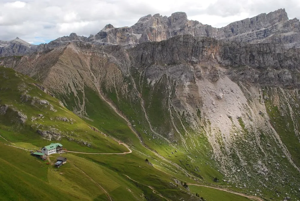
Rifugio Genova

Info
Rifugio Genova
Rifugio Genova
Day
4

Schlütterhütte ‘Rifugio Genova’ - Raschötzhütte ‘Rifugio Resciesa’

Duration: 05:40 h
Distance: 15.9 km
Ascent: 500 m
Descent: 640 m

After a good night at Rifugio Genova, it's time for the next stage of the hike. The stage will take you through Puez-Geisler Nature Park. Follow trail 33 to Gampen Alm and walk about 1 kilometer downhill. Gampen Alm is also a good place to stop for food or refreshments. From Gampen Alm switch to trail 35 and continue walking downhill until you reach the Adolf-Monkel-Weg. At the Broglesbach (Rio di Brogles), follow path 28 for a short distance, where you will soon encounter the Brogleshütte. You are now at the Brogles Alm. Here you continue the hike again on path 35. Fun fact: here you walk a part of the Dolomites World Heritage Geotrail. Walk up to Forcella di Valluzza (Flitzer Scharte) and continue your hike on trail 35. You have started the last kilometers of the day. Another 3 kilometers and you will be at the final destination of the stage: the Raschötzhütte, or Rifugio Resciesa (2,170m).

Lunch: Gampen Alm is a convenient lunch stop along today's route and serves South Tyrolean dishes. Opening times can vary throughout the season, so check ahead and carry some snacks as a backup.

Resciesa hut (Raschötz Hütte)

Info
Resciesa hut (Raschötz Hütte)
Day
5

Raschötzhütte ‘Rifugio Resciesa’ - Lajen

Duration: 03:15 h
Distance: 9.8 km
Ascent: 20 m
Descent: 1090 m

Your final hiking day begins at Rifugio Resciesa. Follow path 35 towards the Heiligkreuz Chapel. Before beginning the long descent towards Lajen, you can make a short detour from the chapel to the summit cross of Außerraschötz (2,281 m). It only takes a few extra minutes and rewards you with a beautiful panoramic view of the surrounding Dolomites a fitting final highlight before leaving the high mountains behind.

Back at the Heiligkreuz Chapel, continue on path 35 towards the Tschatterlin-Sattel. From here, the landscape gradually changes as the open mountain scenery gives way to alpine meadows and forest. Continue downhill to Ramitzler Schwaige and then along farm tracks towards Unterpulghütte. From there, keep following path 35 through the forest, past Tschöfas and through the fields until you reach Lajen, the final destination of the Dolorama Weg.

Lunch: Along the descent you will pass Ramitzler Schwaige and Unterpulghütte, where you may be able to stop for food or refreshments. Opening days and hours can vary throughout the season, so check ahead and bring a packed lunch or enough snacks as a backup. If you plan to eat after arriving in Lajen, check the opening hours of the local shops and restaurants beforehand, especially around lunchtime.

Contact our Trekking Expert
Nena Compagne
Nena Compagne
Nena Compagne

Included

  • Booking the huts

    We will take care of arranging accommodation on the Dolorama Weg for you. We will also provide you with a detailed itinerary for every stage and instructions on how to get to the trailhead.

  • Full travel guide

    You’ll receive access to our trekking app, which serves as your complete digital travel guide for the Dolorama Weg. Inside, you’ll find everything you need for your trek: route descriptions, hiking maps, navigation support, payment information, and all the key details specific to your journey.

  • Accommodation

    During your Dolorama Weg, you will spend your nights in mountain huts. We normally book dormitories, but private rooms are available upon request and cost €75 extra per room per night. If no private rooms are available, we will automatically book a bed in a dormitory.

  • Breakfast

    Every morning breakfast is waiting for you. We will arrange this for you as well. This allows you to travel lighter and have one less thing to worry about. Bear in mind that lunch and dinner are not included, but it can be purchased in the huts.

  • Navigation support

    Our trekking app also includes built-in navigation support. With GPS-based maps and offline access, you can follow the trail confidently and stay on route even without mobile signal.

Excluded

  • Traveling to and from

    You have to make your own way to the starting point. The total amount does not include personal transport.

  • Transfers

    Should you need any form of (public) transport on location, this is not part of the trekking package. This includes the use of taxi, bus, cable cars, gondolas, ferries, etc.

  • Travel Insurance

    Your international travel insurance is your own responsibility. Discuss your itinerary with the insurance company before your trek.

  • Personal expenses

    Personal expenses on such as souvenirs, drinks, and other similar expenses are for your own account.

  • Lunch and Dinner

    Breakfast is included in the price of the trek. For lunch and dinner, you can eat at hotels, restaurants along the way, or at your accommodation at the end of each stage.

FAQ

  • Is the Dolorama Weg Suitable for Me?

  • What Is the Best Season for the Dolorama Trail?

  • How Do I Get to the Starting and Ending Points?

  • Travelling to the starting point

  • Travelling back to To Rodeneck/Rodengo

  • What if the dates I want are not available?

  • If I book now, can I immediately arrange the rest of my trip?

  • How do I know if this trek is right for me?

  • Can meals be adapted to my dietary requirements?

How to Book

  • Booking

  • Availability

  • Cancellation policy

Packing List for the Dolorama Weg

  • Information

  • Essentials

  • Extras