Full Tour du Mont Blanc - Incl. Rest Day

  • Duration
    Total 11 days
    Average 7h 7min
  • Distance
    Total 164.1 km / 102.0 mi
    Average 16.4 km / 10.2 mi
  • Ascent
    Total +9940 m / +32611 ft
    Average +994 m / +3261 ft
  • Descent
    Total -9810 m / -32186 ft
    Average -981 m / -3219 ft

> Trek through France, Italy, and Switzerland
> Spend your nights in mountain huts
> Complete the Tour du Mont Blanc with a rest day along the way

This hike is one of the most famous in Europe and traditionally crosses 3 countries: France, Italy, and Switzerland. The famous Tour du Mont Blanc is a 170-kilometer long circuit, which encircles the Mont Blanc massif and has 10 kilometers of ascent/descent.

Our 11-day trek starts in Chamonix, France, and goes around the beautiful Mont Blanc massif. Along the way, you spend the nights in French, Italian and Swiss mountain huts. There you will meet other hikers and enjoy delicious local dishes. This relaxed version includes two nights in Courmayeur, the well-known mountain town on the Italian side, giving you a full rest day to recover before you continue the loop. During this 11-day adventure, you'll enjoy magnificent views of the mountains, snow-capped peaks and small picturesque mountain villages. You don't have to worry about the logistics of reserving the huts. We'll take care of that for you, so all you have to do is enjoy this unforgettable adventure.

This tour does not include luggage transfer, as most huts are only accessible on foot. If you prefer the convenience of having your luggage transported, take a look at our Comfort Package.

Please note that the sample itinerary below is subject to change, as we partner with a wide range of mountain huts and hotels to ensure your trip goes ahead seamlessly. Availability may vary, but our flexibility in working with multiple accommodation partners helps us deliver the best possible experience for you.

Itinerary

Day
1

From Chamonix / Les Houches to Auberge du Truc

Duration: 06:45 h
Distance: 14.8 km / 9.2 mi
Ascent: 1410 m / 4626 ft
Descent: 700 m / 2297 ft

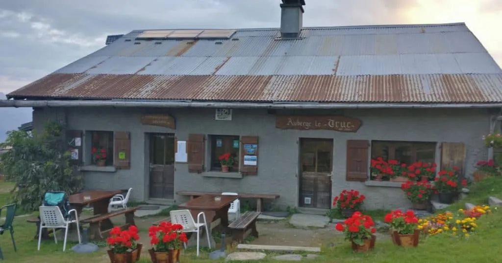
You start in Les Houches and climb steadily out of the valley. This route goes over Col de Tricot, with 1,430 m of elevation gain. If you prefer to walk through Bionnassay Valley, you can also find this option in our app.

The trail passes Les Trabets and continues to Col de Voza, where you turn left towards Col de Tricot. You pass La Jeanne, Mont Blanc Tramway, Bellevue and Les Houches Prarion, then continue through greener terrain towards the L’Arett Plateau. From here, the route becomes more alpine as it approaches the higher section below the pass.

After the Bionnassay glacial lake, you cross the Suspended Footbridge and continue with views of Glacier des Bossons, the Aiguille du Goûter and the surrounding glacier terrain. The route reaches Col de Tricot before descending towards Miage Village and the final approach to Le Truc. At the accommodation, you can settle in and enjoy a warm dinner.

Auberge du Truc

Info
Auberge du Truc
Auberge du Truc
Day
2

Auberge du Truc to Hotel Base Camp Lodge (Bourg Saint Maurice)

Duration: 09:25 h
Distance: 22.3 km / 13.86 mi
Ascent: 1320 m / 4331 ft
Descent: 1470 m / 4823 ft

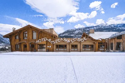
After your first night, you hike towards the valley to continue your Tour du Mont Blanc. The valley is spectacular and the view of the Mont Blanc massif is impressive. Once in the valley, climb up to Notre Dame de la Gorge, and in case of good weather, you can still hike via the Tre la Tete glacier. You continue the way to Col du Croix du Bonhomme and hike toward the small town of Les Chapieux. From here, you will take the shuttle to Bourg Saint Maurice where you will be staying in a hotel.

Please note: Your transfer with French Alps Taxi from Les Chapieux to Bourg Saint Maurice (Hotel Base Camp Lodge) departs between 6:00 PM and 6:30 PM from in front of Auberge de La Nova. If you are delayed, contact the taxi company once you reach Col du Bonhomme (around 1h15 to 1h40 before Les Chapieux). Please note there is no phone coverage at the pickup point.

If you need to contact French Alps Taxi, please do so via WhatsApp text message, stating your name and the number of people.
WhatsApp: +33 6 09 44 18 71

Hotel Base Camp Lodge (Bourg Saint Maurice)

Info
Hotel Base Camp Lodge (Bourg Saint Maurice)
Day
3

From Bourg Saint Maurice to Rifugio Elisabetta

Duration: 05:35 h
Distance: 14.3 km / 8.89 mi
Ascent: 990 m / 3248 ft
Descent: 370 m / 1214 ft

Please note: Your transfer from Bourg Saint Maurice (Hotel Base Camp Lodge) to Les Chapieux departs between 6:45 AM and 7:00 AM from in front of the hotel. Please be ready on time.
For delays or urgent contact: WhatsApp +33 6 09 44 18 71

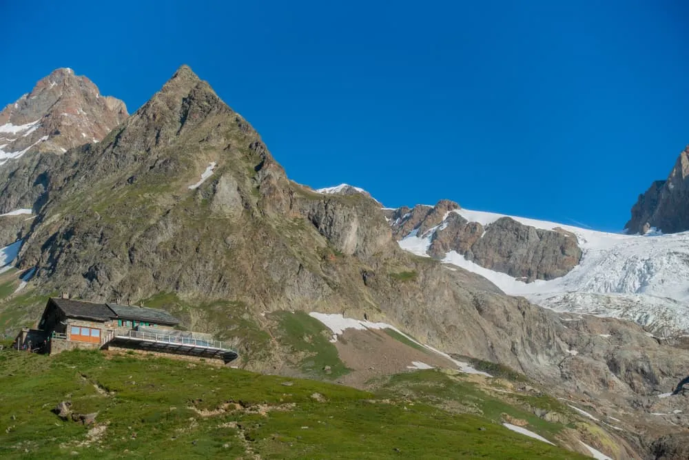
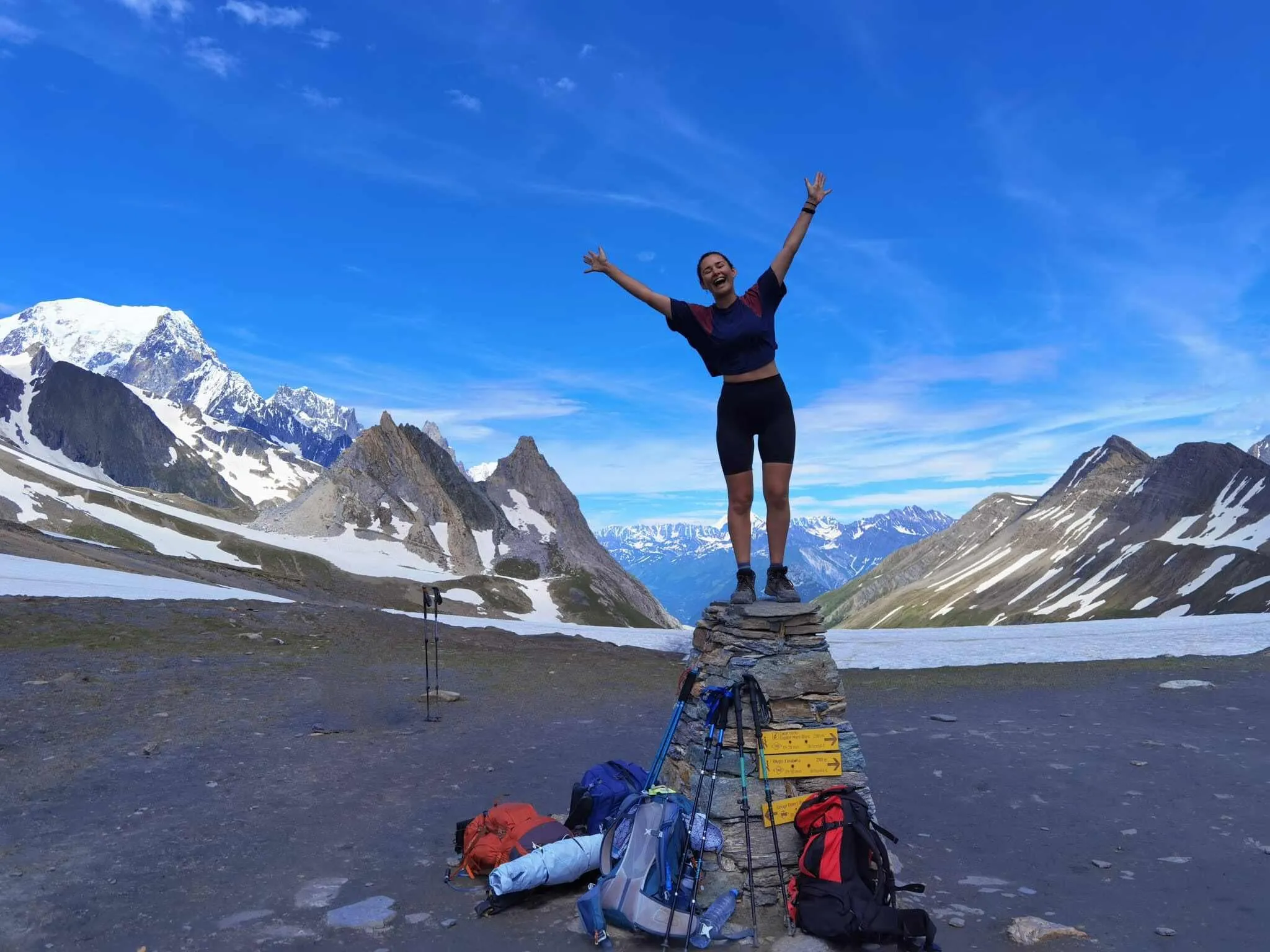
After a hearty breakfast, you’ll take the shuttle back into the mountains for a gentle start to the day. You can ride all the way to Refuge des Mottets to shorten the initial ascent and begin your hike from this scenic mountain hut. From here, a gradual climb leads to Col de la Seigne, the natural border between France and Italy, offering breathtaking yet manageable views. Once you cross into Italy, descend to La Casermetta Hut (2365 m) before reaching Refuge Elisabetta, your stop for the night.

Rifugio Elisabetta

Info
Rifugio Elisabetta
Rifugio Elisabetta
Day
4

From Rifugio Elisabetta to Courmayeur

Duration: 06:55 h
Distance: 15.9 km / 9.88 mi
Ascent: 560 m / 1837 ft
Descent: 1530 m / 5020 ft

This varied route from Rifugio Elisabetta to Courmayeur starts high above Val Veny and passes Lac Combal, Lac des Vesses and Lago Checrouit. With just over 500 m of ascent and some T3 sections, expect a mix of steady paths and rougher mountain terrain.

From Rifugio Elisabetta, you follow the Combal Lake Road towards Lac Combal, then climb away from the valley floor towards Arête du Mont Favre. Along the way, you get views towards Mont Blanc and the Miage Glacier before the trail bends towards Lago Checrouit.

After Lago Checrouit, the route descends past Rifugio Maison Vieille and continues over the slopes above Courmayeur. If you want to reduce the descent, it is good to know that taking the cable car down can be an option, although availability is limited in some months. Otherwise, the final section leads down via Dolonne into Courmayeur, where you finish at your accommodation.

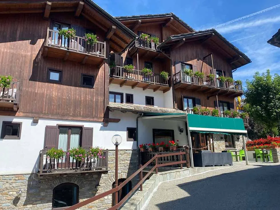
Hotel Triolet (Courmayeur)

Info
Hotel Triolet (Courmayeur)
Day
5

Rest day

Today is a well-earned rest day in Courmayeur, a charming Italian mountain town at the foot of Mont Blanc. Take time to relax and recharge, explore the quaint streets, enjoy a leisurely meal, or simply unwind at a comfortable hotel or spa.

Hotel Triolet (Courmayeur)

Info
Hotel Triolet (Courmayeur)
Day
6

Courmayeur to Rifugio Gio Bertone

Duration: 02:30 h
Distance: 4.36 km / 2.71 mi
Ascent: 760 m / 2493 ft
Descent: 10 m / 33 ft

From Courmayeur, the trail climbs straight into the mountains towards Rifugio Giorgio Bertone. After leaving the streets of town, you quickly trade the valley for shaded forest paths and a steady climb on the hillside above Courmayeur. It is a compact mountain stage with very little descent, so the effort is mainly in keeping a steady uphill pace.

The first part leads you through Courmayeur on local streets before the route picks up the mountain path. From there, the climb becomes more consistent, winding through the forest in long bends and switchbacks. The Forest Path is the main section of the ascent, following shaded trail with stones, roots and rougher ground underfoot.

Higher on the slope, the forest opens in places and you get views back over Courmayeur, Mont Chétif and the Mont Blanc massif. The final stretch continues uphill towards Rifugio Giorgio Bertone. You arrive directly at the mountain hut, high above the valley and with the main climb of the route behind you.

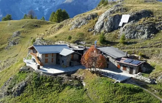
Rifugio Gio Bertone

Info
Rifugio Gio Bertone
Rifugio Gio Bertone
Day
7

From Rifugio Gio Bertone to Gîte Alpage de La Peule

Duration: 08:45 h
Distance: 20.7 km / 12.86 mi
Ascent: 1090 m / 3576 ft
Descent: 990 m / 3248 ft
Today, enjoy a hearty breakfast: one of the great climbs of the Tour, the Col Ferret, awaits you. First, you hike to Rifugio Bonatti, named after the legendary climber. From here, it takes about 3 hours to cross the col and reach the Swiss Val Ferret. The view of the Grand Combin is breathtaking. You will spend the night in Gîte Alpage de La Peule, just before you descend to La Fouly.

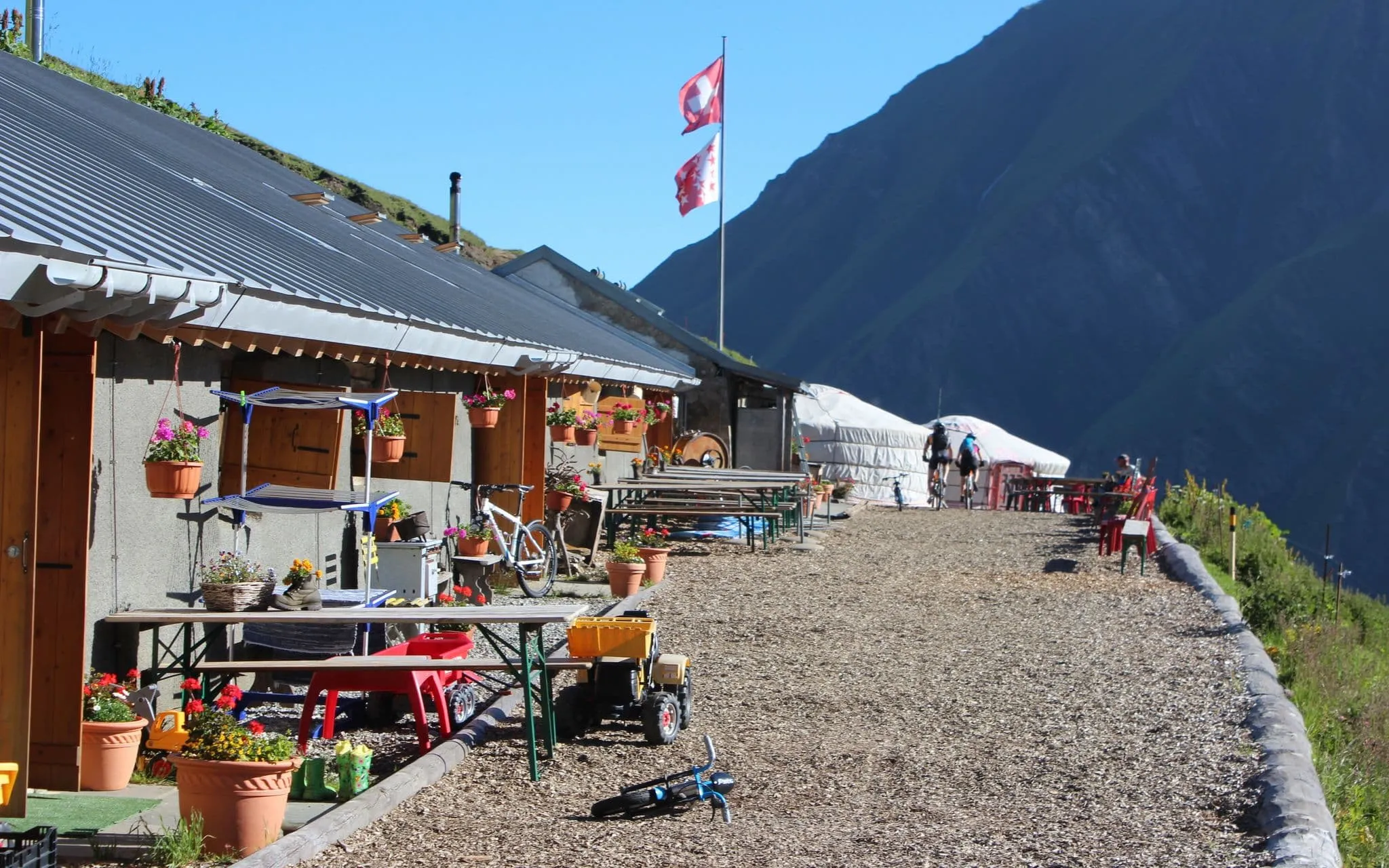
Gite Alpage de La Peule

Info
Gite Alpage de La Peule
Day
8

From Gîte Alpage de La Peule to Relais D’Arpette

Duration: 07:50 h
Distance: 22.3 km / 13.86 mi
Ascent: 680 m / 2231 ft
Descent: 1090 m / 3576 ft
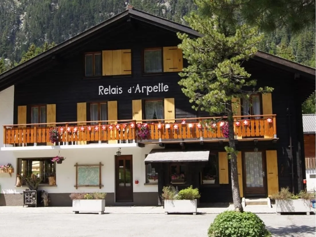
Welcome to Switzerland. Today, you have a fairly mild hike scheduled, from La Fouly to Champex, an idyllic spot in the Swiss Alps. Here you can enjoy the peace and have the opportunity to walk along the shores of the beautiful Lake Champex. You will spend the night at the foot of the Fenêtre d'Arpette, in the Relais d'Arpette of the same name.

Relais D'Arpette

Info
Relais D'Arpette
Relais D'Arpette
Day
9

From Relais D'arpette to Trient

Duration: 07:15 h
Distance: 15.4 km / 9.57 mi
Ascent: 730 m / 2395 ft
Descent: 1060 m / 3478 ft

Start the day by passing Gîte Bon Abri. From Plan de l’Au, the trail climbs steadily through forests and meadows to the Alpage de Bovine. After a short break among the grazing cows, continue uphill to the Col de Portalo, the highest point of the day, with stunning views over the Martigny Valley.

Begin your descent through forest paths and open terrain until you reach the Hôtel du Col de la Forclaz. From here, it’s just one final downhill stretch to the village of Trient.

Auberge Mont Blanc

Info
Auberge Mont Blanc
Auberge Mont Blanc
Day
10

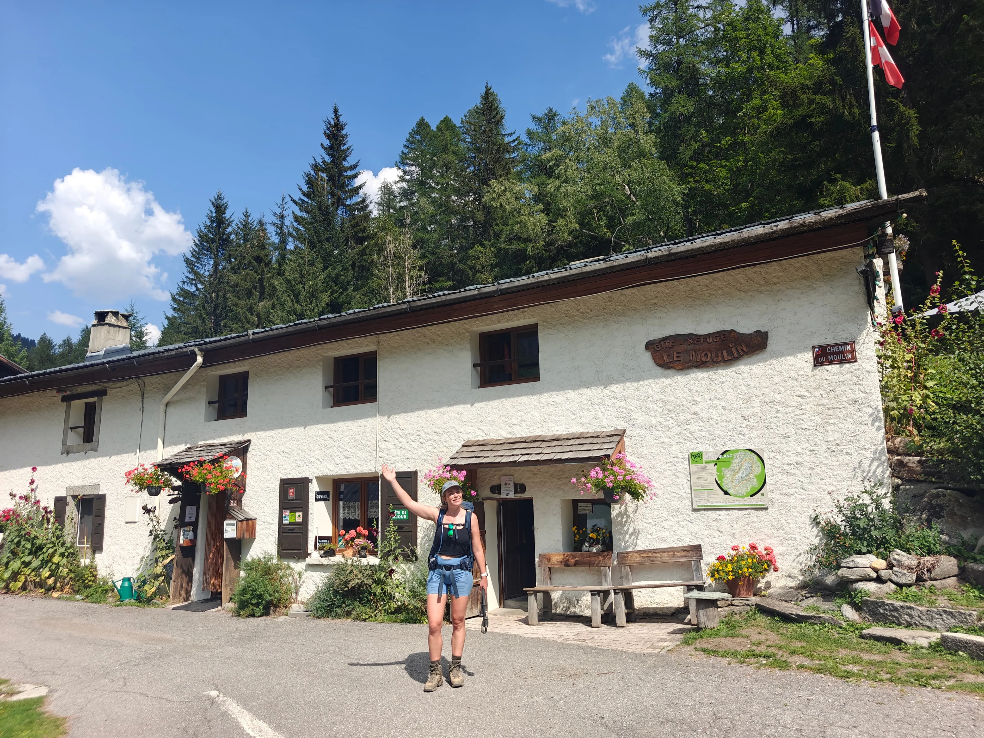
From Trient to Gîte Le Moulin

Duration: 06:50 h
Distance: 14.6 km / 9.07 mi
Ascent: 1090 m / 3576 ft
Descent: 1020 m / 3346 ft
The Col de la Balme is not only the border between Switzerland and France but also the passage that takes us back to the Chamonix Valley from the opposite end to where we left it. From the top, you have an impressive view of Mont Blanc, the Dru, or the Aiguille du Chardonett. From here we go down to Tré la Tête by the Aiguille des Posettes.

Gite Le Moulin

Info
Gite Le Moulin
Gite Le Moulin
Day
11

From Gîte Le Moulin to Chamonix (excluding ladders)

Duration: 09:15 h
Distance: 19.4 km / 12.1mi
Ascent: 1310 m / 4298ft
Descent: 1570 m / 5151ft

This option is slightly easier as it avoids a section with ladders. If you are not comfortable with heights, we recommend this alternative route.

The Southern Balcony is a classic excursion for anyone visiting Chamonix. The ascent is gentle, and at the top you are rewarded with stunning views from Lac Blanc, one of the highlights of the entire trip. You can pause for lunch at the Lac Blanc Refuge before continuing on the final stretch toward the Planpraz cable car. From there, you can either hike down to Chamonix along T3 trails with some exposed sections, or take the cable car. If you prefer to shorten the stage, you can also descend by cable car from the Refuge de La Flégère.

Note: The chairlift down to Chamonix stops operating at 5:00 PM. Make sure to plan your descent accordingly.

Contact our Trekking Expert
Sanne Bakema
Sanne Bakema
Sanne Bakema

Included

  • Full travel guide

    You’ll receive access to our trekking app, which serves as your complete digital travel guide for the Tour du Mont Blanc. Inside, you’ll find everything you need for your trek: route descriptions, hiking maps, navigation support, payment information, and all the key details specific to your journey.

  • Half-board in Huts

    Accommodation at the huts includes dinner and breakfast. We will arrange this for you as well. This allows you to travel lighter and have one less thing to worry about. Bear in mind that lunch is not included, but it can be purchased at the huts. Here you can also buy an array of snacks and bottled water.

  • Navigation support

    Our trekking app also includes built-in navigation support. With GPS-based maps and offline access, you can follow the trail confidently and stay on route even without mobile signal.

  • Transfer to/from Bourg Saint Maurice

    The transfer from Les Chapieux to Bourg Saint Maurice and back is included in the price of your trek. This transfer will be arranged by us, so you do not need to organise it yourself.

  • Accommodation

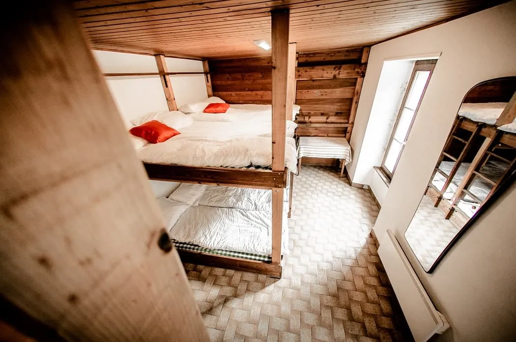
    During your Tour du Mont Blanc, you will spend your nights in mountain huts. We normally book beds in dormitories.

Excluded

  • Traveling to and from

    You have to make your own way to the starting point. The total amount does not include personal transport.

  • Transfers

    Should you need any form of (public) transport on location, this is not part of the trekking package. This includes the use of taxi, bus, cable cars, gondolas, ferries, etc.

  • Lunch

    Half-board is included in the price of this trek. Lunch, however, is not. Many huts offer packed lunches, which can usually be requested the night before. Alternatively, you can stop for lunch at mountain huts along the way.

  • Travel Insurance

    Your international travel insurance is your own responsibility. Discuss your itinerary with the insurance company before your trek.

  • Personal expenses

    Personal expenses on such as souvenirs, drinks, and other similar expenses are for your own account.

FAQ

  • What Is the Best Season for the Tour du Mont Blanc?

  • How to get to Chamonix

  • How to get to the starting point of the route

  • What if the dates I want are not available?

  • If I book now, can I immediately arrange the rest of my trip?

  • How do I know if this trek is right for me?

  • Can meals be adapted to my dietary requirements?

How to Book

  • Booking

  • Availability

  • Cancellation policy