Northern Half of the Meraner Höhenweg with Hotel Before and After

  • Duration
    Total 5 days
    Average 6h 47min
  • Distance
    Total 52 km
    Average 17.3 km
  • Ascent
    Total +2330 m
    Average +777 m
  • Descent
    Total -2950 m
    Average -983 m

> Trek the more challenging half of the Meraner Höhenweg
> Get to know the local culture and try typical Tyrolean dishes
> Accommodation in Merano before and after the trek is included

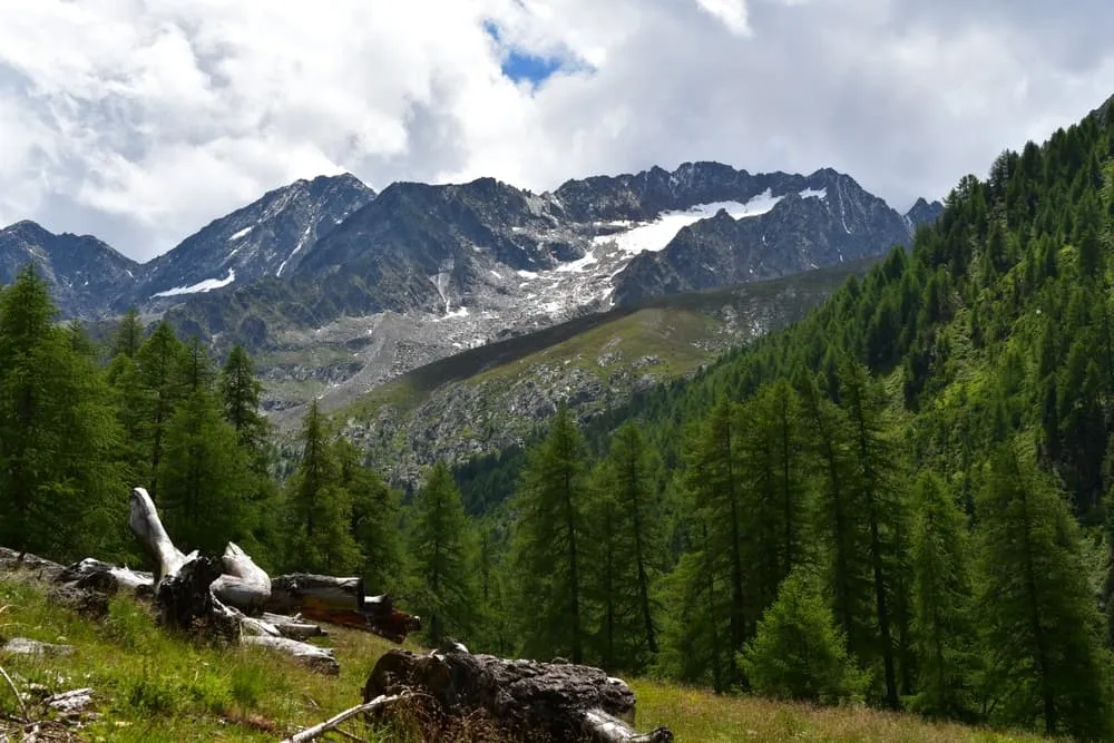
The Meraner Höhenweg is a 100-kilometer circular route through South Tyrol’s Texelgruppe Nature Park, showcasing diverse landscapes such as forests, vineyards, and alpine terrain. You can hike the full trail or explore sections, staying in mountain huts and local hotels for an authentic Tyrolean experience.

The northern half is the toughest, with its highest point reaching 2,895 meters at the Eisjöchl pass. It features steep climbs, rocky paths, and exposed ridges, leading you through high-altitude meadows and rugged alpine terrain. Ideal for experienced hikers, this section rewards you with panoramic views of the Ötztal Alps. Accommodation in Merano before and after the trek is included, making for a convenient and comfortable start and finish. If you're interested in a beginner-friendly trek or a 5-day hut-to-hut experience in the Dolomites, this is the perfect choice!

Itinerary

Day
1

Arrival in Merano

Today you will arrive in Merano, where we have arranged a hotel room for you. Spend the afternoon exploring the town’s gardens and views. Enjoy some local Italian food, and make sure to get a good rest before your trek.

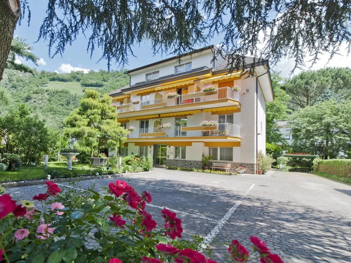
Villa Sabine (Merano)

Info
Villa Sabine (Merano)
Day
2

DETOUR - Katharinaberg to Eishof

Duration: 06:00 h
Distance: 14.4 km
Ascent: 1160 m
Descent: 330 m

This route is a detour set up by the authorities of the Meraner Höhenweg. The Meraner Höhenweg Trail No. 24 between Katharinaberg and the Pfossental is temporarily closed due to the risk of falling rocks. Instead, you must use the local detour from Sellboden via Tumlhof and along the road into the Pfossental until Nassreidhof. This detour adds about 1.5 hours to the hiking time, and signs are in place to guide you through this section.

From Katharinaberg, the route leads towards Sellboden. Here, you will leave the original closed trail and follow the detour via Tumlhof. Continue along the road into the Pfossental valley until you reach Nassreidhof. Trail No. 24 after Nassreidhof is now open, so you can rejoin the usual route through the valley from this point. The route then runs parallel to the Rio Val di Fosse and a series of rapids and waterfalls before reaching the Mitterkaser Alm and Rableidalm mountain huts. The profile shows a steady incline towards the Upper Pfossental.

After a long, steady approach through the Pfossental valley, you will arrive at Eishof. Once you reach the end, the most challenging part of the trek is over, and you can relax after following a clear but demanding route which includes a significant detour through the lower valley.

Alternative 1: From Katharinaberg, take public bus line 261, which departs every hour at :27, to the “Abzweigung Pfossental” stop. From there, walk along the provincial road to the Pfossental valley.

Alternative 2: Shuttle and taxi services are available in the area. Two local operators are Taxi Spechtenhauser, reachable at +39 333 837 9638, and Shuttle Helmuth, reachable at +39 348 498 4756.

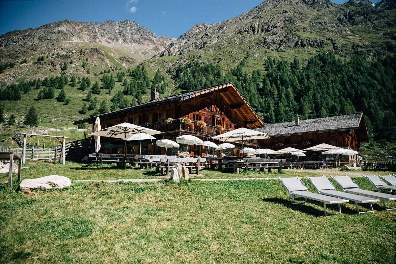
Berggasthof Eishof

Info
Berggasthof Eishof
Berggasthof Eishof
Day
3

Stage 2: Eishof to Pfelders

Duration: 07:20 h
Distance: 17.4 km
Ascent: 820 m
Descent: 1240 m

This stage begins at Eishof (2,074 m) and moves through meadows and peaks. The trail starts gently through pastures, then steepens as it climbs over rocky terrain with scree. After about two hours, you reach the Eisjöchl, the highest point on the Meraner Höhenweg at 2,895 meters, offering views of the Hohe Wilde and Hohe Weiße peaks.

At the top, there is a temporary shelter where you can rest. The descent features switchbacks through rocky and grassy slopes. The trail is well-marked but can be slippery, so caution is needed. As you descend, you’ll pass streams and waterfalls before entering larch and pine forests as the path levels out. The stage ends at the car-free village of Pfelders, where you can rest and have a warm meal.

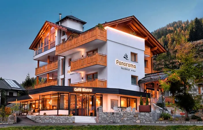
Residence Panorama (Pfelders)

Info
Residence Panorama (Pfelders)
Day
4

Stage 3: Pfelders to Matatz

Duration: 07:00 h
Distance: 20.2 km
Ascent: 350 m
Descent: 1380 m

This stage starts in Pfelders (1,600 m), following trail No. 24 through Innerhütt and Außerhütt, crossing the Pfeldererbach River before reaching Krössbichl, where the northern and southern routes meet. It’s a good spot to rest and take in the view.

The trail then reenters the Texelgruppe Nature Park, passing through Ulfas and into the Kammerwald forest. The path alternates between forest trails and paved sections, making for an easy walk. You’ll pass the Christl farmstead, a good place for a break before the trail opens into flat terrain. The stage ends at Matatz, at 1,052 m. From Matatz, you will make a final descent to St. Martin in Passeier, where your trek will come to an end. To return to Merano, you can take the bus line 240 from St. Martin in Passeier. This bus runs regularly between the two locations and offers a direct route.

Villa Sabine (Merano)

Info
Villa Sabine (Merano)
Day
5

Departure

This is where your Meraner Höhenweg comes to an end. From Merano, you have several options to continue your journey, whether you choose to explore more of Italy or head back home. Take one last moment to enjoy Merano’s landscapes and relaxing atmosphere before you leave for your next adventure.

Contact our Trekking Expert
Jelle Tekstra
Jelle Tekstra
Jelle Tekstra

Included

  • Accommodation

    During your Meraner Höhenweg, you will stay overnight in comfortable accommodations. You'll sleep in private rooms, ensuring a good night's rest after each day on the trail.

  • Full travel guide

    You’ll receive access to our trekking app, which serves as your complete digital travel guide for the Meraner Höhenweg. Inside, you’ll find everything you need for your trek: route descriptions, hiking maps, navigation support, payment information, and all the key details specific to your journey.

  • Hotels, Hostels or Huts

    We arrange your accommodation on the Meraner Höhenweg in hotels, hostels, or huts along the way. If your itinerary includes mountain huts, you’ll automatically be booked in dormitory-style beds. Prefer a private room? This is possible for €75 extra per room, per night (subject to availability).

  • Accommodation before and after the tour

    Accommodation before and after the trek is included. Breakfast is (if possible) part of your stay.

  • Half board in huts (where possible)

    Accommodation in the huts includes dinner and breakfast, unless otherwise indicated in the exclusive list. This allows you to travel lighter and not have to worry about an extra meal. Please note, however, that lunch is not included, but can be purchased at the huts. Beverages may also be charged separately at some huts.

  • Breakfast in hotels (where possible)

    Accommodation in the hotels includes breakfast whenever possible. We will arrange this for you as much as possible in advance. Please note that lunch and dinner are not included, but can be ordered at the accommodation or in the village.

  • Navigation support

    Our trekking app also includes built-in navigation support. With GPS-based maps and offline access, you can follow the trail confidently and stay on route even without mobile signal.

Excluded

  • Traveling to and from

    You have to make your own way to the starting point. The total amount does not include personal transport.

  • Transfers

    Should you need any form of (public) transport on location, this is not part of the trekking package. This includes the use of taxi, bus, cable cars, gondolas, ferries, etc.

  • Travel Insurance

    Your international travel insurance is your own responsibility. Discuss your itinerary with the insurance company before your trek.

  • Personal expenses

    Personal expenses on such as souvenirs, drinks, and other similar expenses are for your own account.

FAQ

  • What Is The Best Season for The Meraner Höhenweg?

  • Is the Meraner Höhenweg for me?

  • How to Get To the Starting Point of the Meraner Höhenweg

  • How to Get Back After the End of the Trek

  • What if the dates I want are not available?

  • If I book now, can I immediately arrange the rest of my trip?

  • How do I know if this trek is right for me?

  • Can meals be adapted to my dietary requirements?

How to Book

  • Booking

  • Availability

  • Cancellation policy