Rondane Triangle Route

  • Duration
    Total 5 days
    Average 5 h 4m
  • Distance
    Total 56.9 km
    Average 11.4 km
  • Ascent
    Total +1810 m
    Average +362 m
  • Descent
    Total -1810 m
    Average -362 m

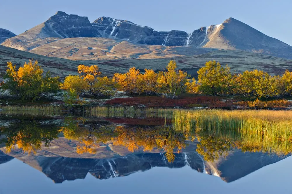
> Enjoy panoramic views of Rondslottet, Rondane's highest peak (2,178m)
> Hike through the tranquil Illmanndalen valley and its glacial moraines
> Walk along the calm waters of Rondvatnet lake

This 5-day trek in Rondane National Park, Norway's first national park, is ideal for walkers looking for a balance between adventure and comfort. The route links the iconic mountain cabins of Rondvassbu, Dørålseter and Bjørnhollia and offers moderate trails through stunning alpine scenery.

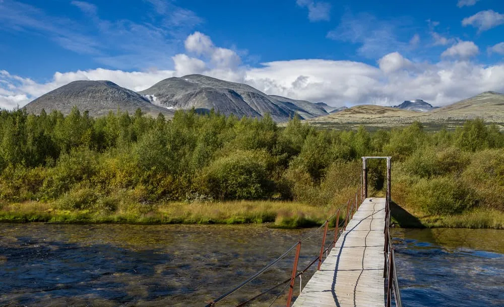
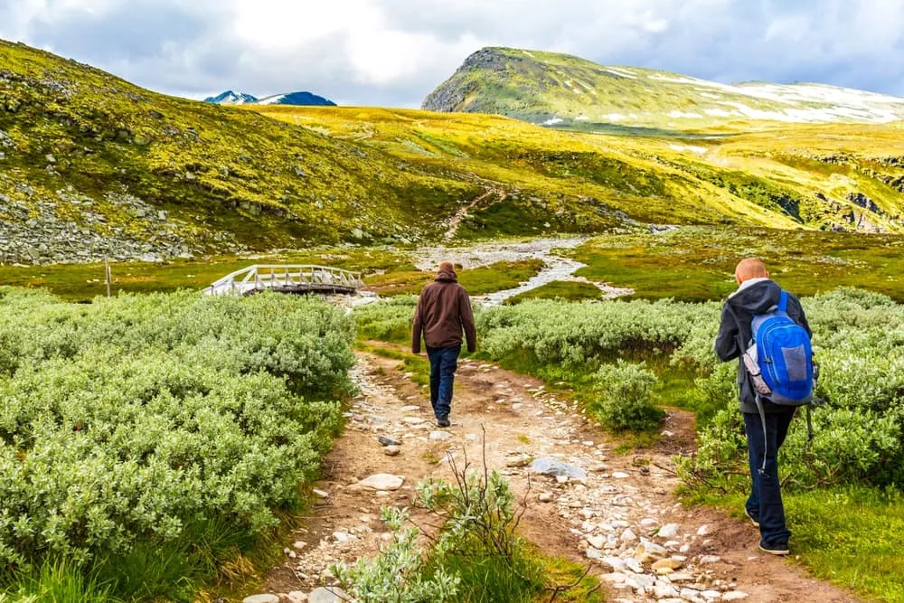
The loop passes through a variety of landscapes, from green, wide open valleys to grey, rugged mountain passes. Along the way you'll experience the natural beauty of the area, with well-marked paths making it accessible to both experienced walkers and beginners. This trek also offers a glimpse into the region's glacial history, with features such as dramatic moraines and crystal clear streams..

You'll spend each night in cosy mountain cabins, where you'll be greeted with warm hospitality and full board with traditional Norwegian food. These welcoming cabins are the perfect place to relax and recharge after a day on the trail. The Rondane Triangle Route is a fantastic choice for walkers who want to explore Norway's oldest national park in a short but unforgettable adventure.

Itinerary

Day
1

Spranget trailhead - Rondvassbu

Duration: 02:00 h
Distance: 6.4 km
Ascent: 120 m
Descent: 40 m

This is a short and steady approach from Spranget into the open landscape of Rondane National Park. The route follows a clear track through broad mountain terrain, with gentle gradients and wide views rather than technical challenges. It is a good first stretch for settling into the rhythm of the area, with open scenery, small waterfalls and river sections before reaching the lake and hut area at the heart of the route.

From Spranget, the trail heads north-east through open ground, with scenic spots and views of the surrounding mountains along the way. Further on, you continue towards Rondvassbu DNT Cabin, while the landscape becomes more clearly alpine. Near the end, the route passes the small Lonin lakeside area and continues towards Rondvatnet, where the water and surrounding mountain terrain mark the approach to the hut.

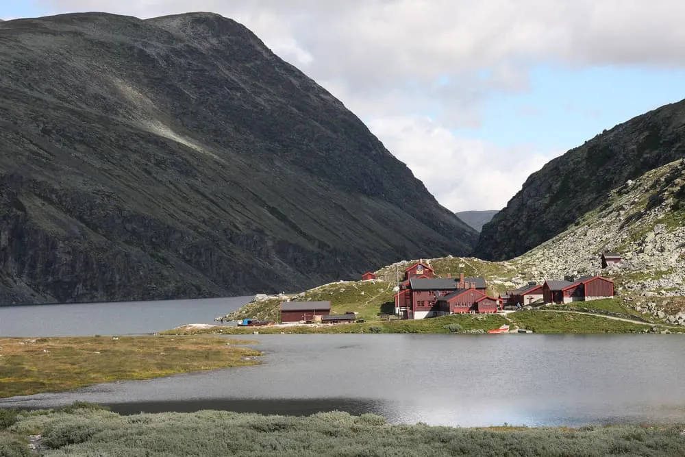
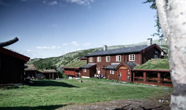
You arrive at Rondvassbu after a gentle walk into the national park. The mountain hut sits close to Rondvatnet, giving you a clear and practical place to rest, eat and prepare for the next section through Rondane.

Rondvassbu

Info
Rondvassbu
Rondvassbu
Day
2

Rondvassbu - Dørålseter (via ferry)

Duration: 04:35 h
Distance: 11.7 km
Ascent: 160 m
Descent: 270 m

This stage begins at Rondvassbu, where you first take the ferry across Rondvatnet to the northern side of the lake. From there, the walking section to Dørålseter is a steady 11.7 km crossing through the open interior of Rondane National Park. The route follows broad mountain terrain with gentle gradients, long views and no major technical difficulties, making it a quieter stage after the boat transfer.

Once you leave the lakeshore, the trail heads north through open mountain ground and gains height gradually in the first part of the route. The highest point comes early, before the path settles into a long, gentle descent. You follow clear tracks through spacious terrain, with views towards the surrounding Rondane mountains. Further on, the route passes through panoramic trails, with small streams and open slopes shaping the walk.

The final part continues gently downhill towards Dørålseter, with the landscape staying open and calm until the end. You arrive at the accommodation after a steady walk across Rondane, a good place to rest after a stage that combines a ferry crossing with quiet mountain terrain.

Ovre Doralseter Turisthytte

Info
Ovre Doralseter Turisthytte
Day
3

Dørålseter - Bjørnhollia (via Høgronden, 2115 m)

Duration: 11:25 h
Distance: 20 km
Ascent: 1110 m
Descent: 1250 m

This is a very long and demanding mountain stage from Dørålseter to Bjørnhollia, with 1,110 m of ascent and a high T4 section over Høgronden. The climb is the main challenge of the day, rising steadily from the valley into exposed high mountain terrain before a long descent towards lower ground. Expect a serious route with rocky paths, broad views and sections where sure-footedness, good weather and careful pacing are essential.

From Dørålseter, the route heads south before climbing towards the high section around Høgronden (2,115 m), where the T4 section lasts almost 6 km. The profile rises strongly towards the summit area, where the terrain becomes steeper and more exposed. After the high point, the route descends past viewpoints into Rondane and continues towards the area around the Langglupbekken bridge and Myldingi Nature Reserve.

The final kilometres become gentler as the route reaches lower ground near ponds and moorland in Rondane. You arrive at Bjørnhollia after a long and demanding mountain crossing, with the mountain hut giving you a clear place to rest, eat and recover.

Bjørnhollia

Info
Bjørnhollia
Bjørnhollia
Day
4

Bjørnhollia - Rondvassbu

Duration: 05:20 h
Distance: 12.4 km
Ascent: 380 m
Descent: 130 m

This steady crossing takes you from Bjørnhollia back to Rondvassbu, following the broad Illmanndalen valley through the open terrain of Rondane. The route initially climbs gradually in a short but steep ascent, then settles into a long, gentle traverse with only modest changes in height. Although there are no major climbs or technical sections, the landscape is exposed and open, so weather and visibility can still have an impact. Expect clear mountain paths, streams, and wide views across the valley.

From Bjørnhollia, the trail heads west into the stunning mountain valley of Illmanndalen, which runs along the southern edge of the main Rondane massif, gaining height through open ground. The route follows the valley past Illmanndalen, with small streams and broad mountain slopes on both sides. Further on, the path continues towards Rondhalsbekken and the Rondvatnet area, mostly staying on gentle terrain as it approaches the lake and the route junction at the end.

You will arrive at Rondvassbu after a calm crossing through the national park. The mountain hut is close to Rondvatnet, providing a perfect place to rest, eat, and reflect on this stage of your journey.

Rondvassbu

Info
Rondvassbu
Rondvassbu
Day
5

Rondvassbu - Spranget trailhead

Duration: 02:00 h
Distance: 6.4 km
Ascent: 40 m
Descent: 120 m

This is the final short stage, taking you from Rondvassbu back to Spranget. It follows the same clear route as on the first day, but in reverse. The walk is steady and straightforward, with gentle gradients and stunning mountain scenery throughout. It is a peaceful way to leave Rondane National Park, offering broad vistas, river sections and small waterfalls along the way, before returning towards the access point at Spranget.

From Rondvassbu, the trail heads south-west, away from Rondvatnet, and follows a clear track through open ground. Early on, you pass the watery area near Rondvassbu, continuing past the spacious, easy track with wide views of the Rondane landscape. There is a gradual descent as you move away from the hut area.

The route ends at Spranget, where the walking part of the trek finishes. From there, you can either continue walking to Mysusæter or catch your onward transport, leaving Rondane after a final relaxed stretch through open mountain terrain.

Contact our Trekking Expert
Justa Atema
Justa Atema
Justa Atema

Included

  • Full travel guide

    You’ll receive access to our trekking app, which serves as your complete digital travel guide for the Rondane Triangle Route. Inside, you’ll find everything you need for your trek: route descriptions, hiking maps, navigation support, payment information, and all the key details specific to your journey.

  • Accommodation

    During your Rondane Triangle Route, you will spend your nights in mountain huts. We normally book dormitories, but private rooms are available upon request and cost €75 extra per room per night. If no private rooms are available, we will automatically book a bed in a dormitory.

  • Full-board

    Accommodation at the huts includes breakfast, lunch, and dinner. We will arrange this for you as well. This allows you to travel lighter and have one less thing to worry about.

  • Navigation support

    Our trekking app also includes built-in navigation support. With GPS-based maps and offline access, you can follow the trail confidently and stay on route even without mobile signal.

Excluded

  • Traveling to and from

    You have to make your own way to the starting point. The total amount does not include personal transport.

  • Transfers

    Should you need any form of (public) transport on location, this is not part of the trekking package. This includes the use of taxi, bus, cable cars, gondolas, ferries, etc.

  • Travel Insurance

    Your international travel insurance is your own responsibility. Discuss your itinerary with the insurance company before your trek.

  • Personal expenses

    Personal expenses on such as souvenirs, drinks, and other similar expenses are for your own account.

FAQ

  • How to Get To the Starting Point of the Rondane Triangle Route

  • End point: Spranget

  • What if the dates I want are not available?

  • If I book now, can I immediately arrange the rest of my trip?

  • How do I know if this trek is right for me?

  • Can meals be adapted to my dietary requirements?

How to Book

  • Booking

  • Availability

  • Cancellation policy