Advanced Stubaier Höhenweg

  • Duration
    Total 4 days
    Average 5h 34min
  • Distance
    Total 41.6 km
    Average 10.4 km
  • Ascent
    Total +2910 m
    Average +728 m
  • Descent
    Total -3450 m
    Average -863 m

> Trek four alpine stages of the legendary Stubaier Höhenweg
> Overnight in high-altitude mountain huts along the way
> We organize your logistics so you can focus on the trail

This is the Höhenweg without shortcuts. The Advanced Stubaier Höhenweg leads you from the thundering Grawa waterfall up to the airy ridgelines above Innsbruck in four bold stages. You’ll hike from Grawa Alm to the Nürnberger Hütte, continue to the remote Bremer Hütte, push on to the panoramic Innsbrucker Hütte, and descend back into Neustift with your legs full and your soul even fuller. This 4-day hut-to-hut hiking challenge in the Alps is made for hikers who like their mountains big and their days earned.

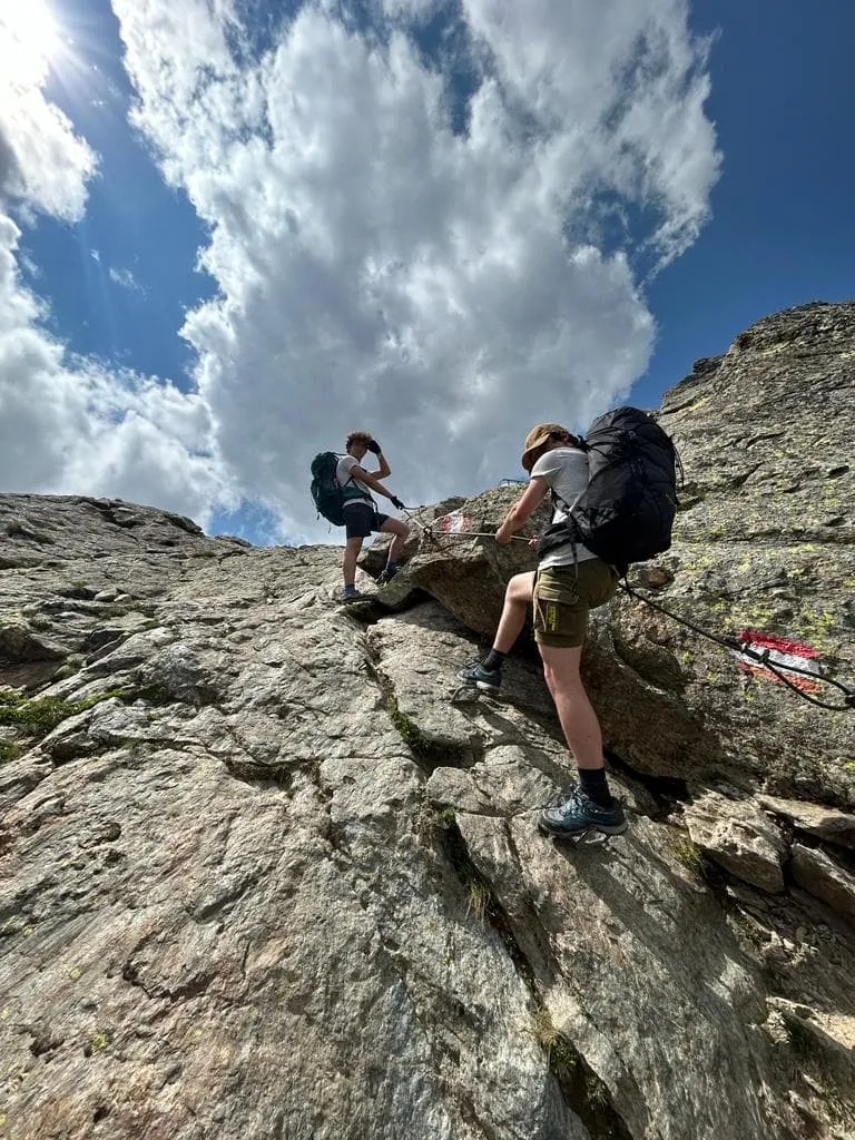
Access is easy via bus 590 from Neustift im Stubaital, bringing you straight to the Grawa Alm or Nürnberger Hütte parking lot depending on the season. From there, hiking trail 134 takes over — winding through forests, past waterfalls, and straight into the high alpine. The route also includes some more exposed sections, with cables in place for extra safety, and you may encounter ladders along the way. Each night, a cozy hut welcomes you. Each day, your legs will earn every view. A perfect fit for experienced hikers who want to go all-in.

Itinerary

Day
1

Grawa Alm – Nürnberger Hütte

Duration: 05:51 h
Distance: 10.6 km
Ascent: 1250 m
Descent: 510 m

Before setting off, stop by the tourist office in Neustift im Stubaital to collect your hut vouchers—you’ll need them at check-in. Once done, take the local bus to Grawa Alm. The ride takes about 30 minutes and offers beautiful views as you travel deeper into the Stubai Valley.

The journey begins at the foot of the Grawa Waterfall, where the roar of cascading water and the scent of pine set the alpine tone. From the peaceful Grawa Alm, the trail climbs steeply, winding through dense forest and rocky paths. With every meter gained, the views broaden, revealing the stunning Stubai Valley below.

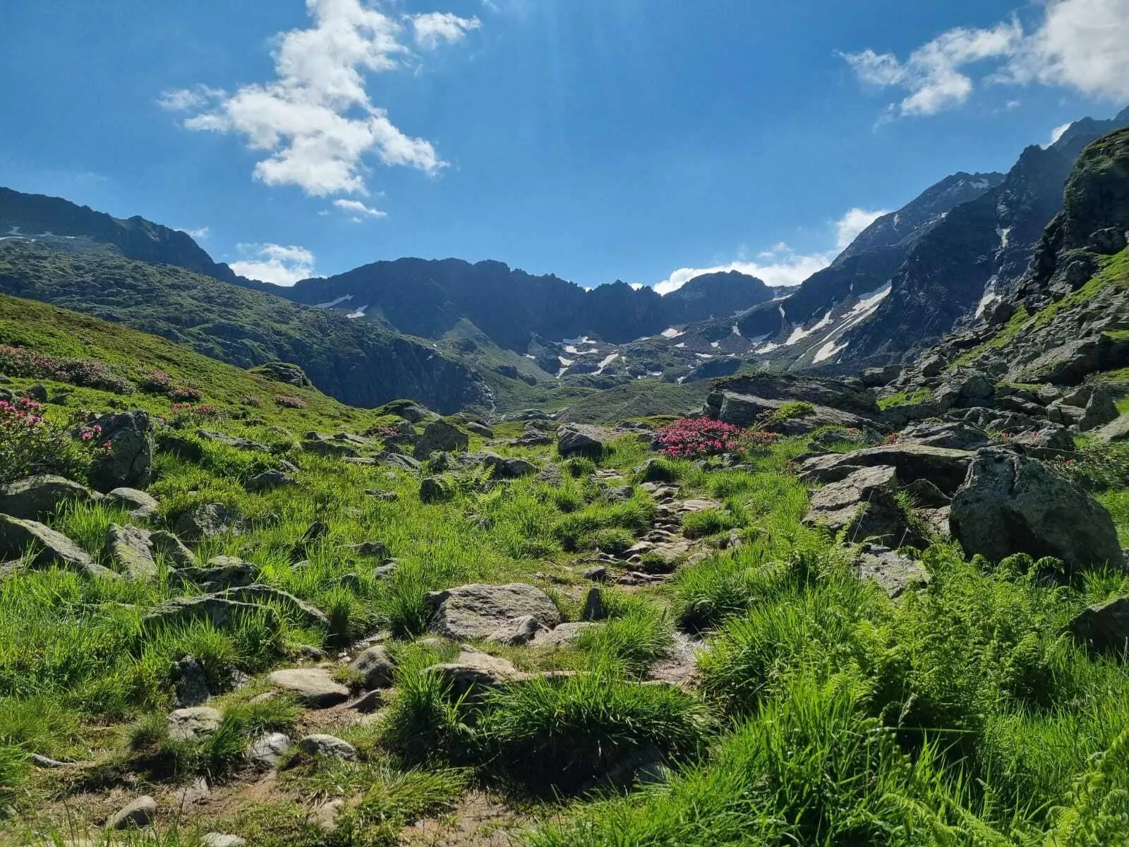
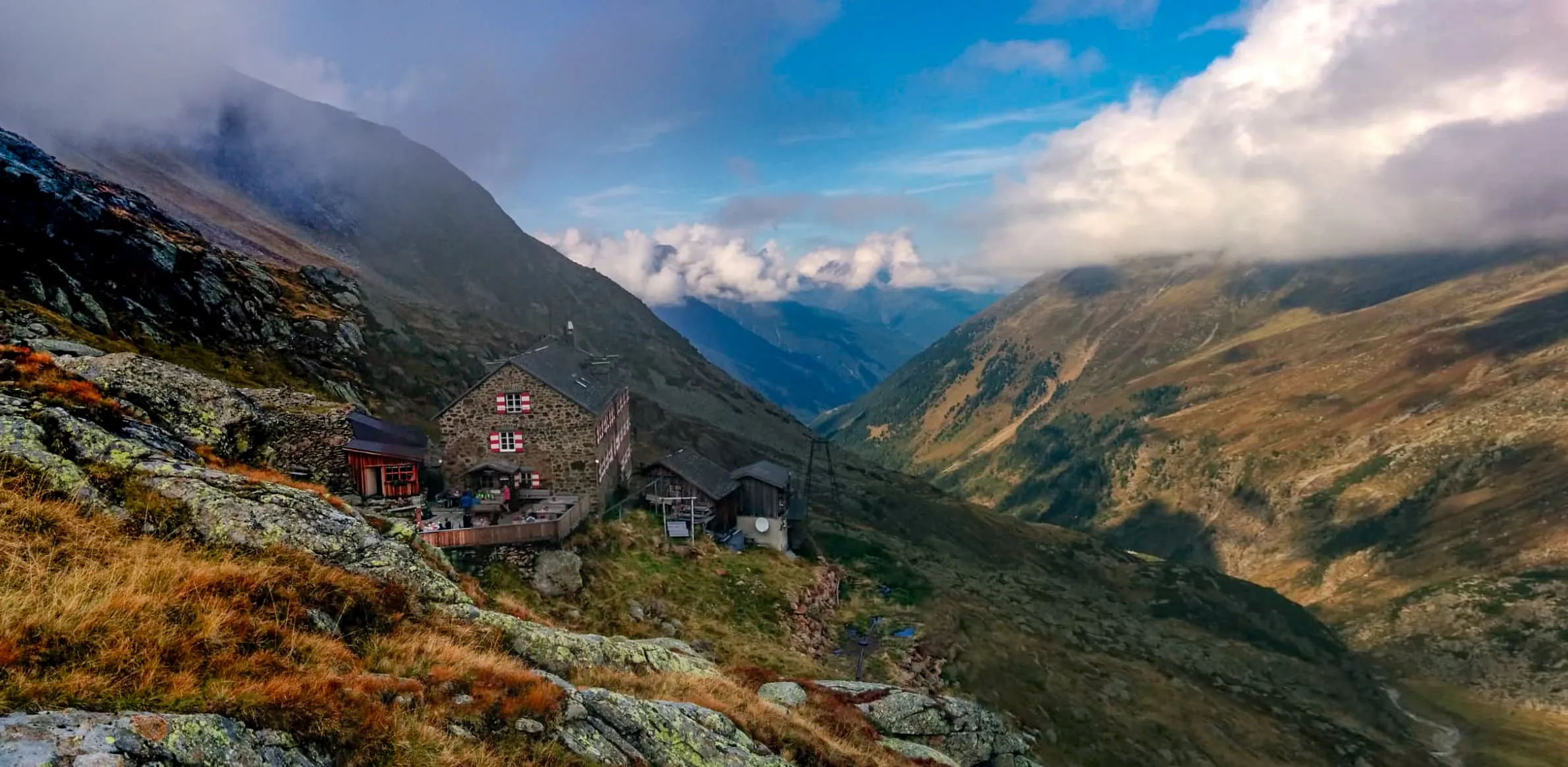
As you climb higher, the terrain grows wilder and more remote. Glacial streams cut across your path, and the landscape shifts into rugged high-alpine wilderness. After 3 to 4 hours of sustained ascent, the Nürnberger Hütte comes into view—a sturdy mountain refuge tucked deep into the dramatic terrain, offering well-earned shelter and a taste of true alpine solitude.

Nürnberger Hütte

Info
Nürnberger Hütte
Nürnberger Hütte
Day
2

Nürnberger Hütte - Bremer Hütte

Duration: 03:50 h
Distance: 5.8 km
Ascent: 540 m
Descent: 410 m

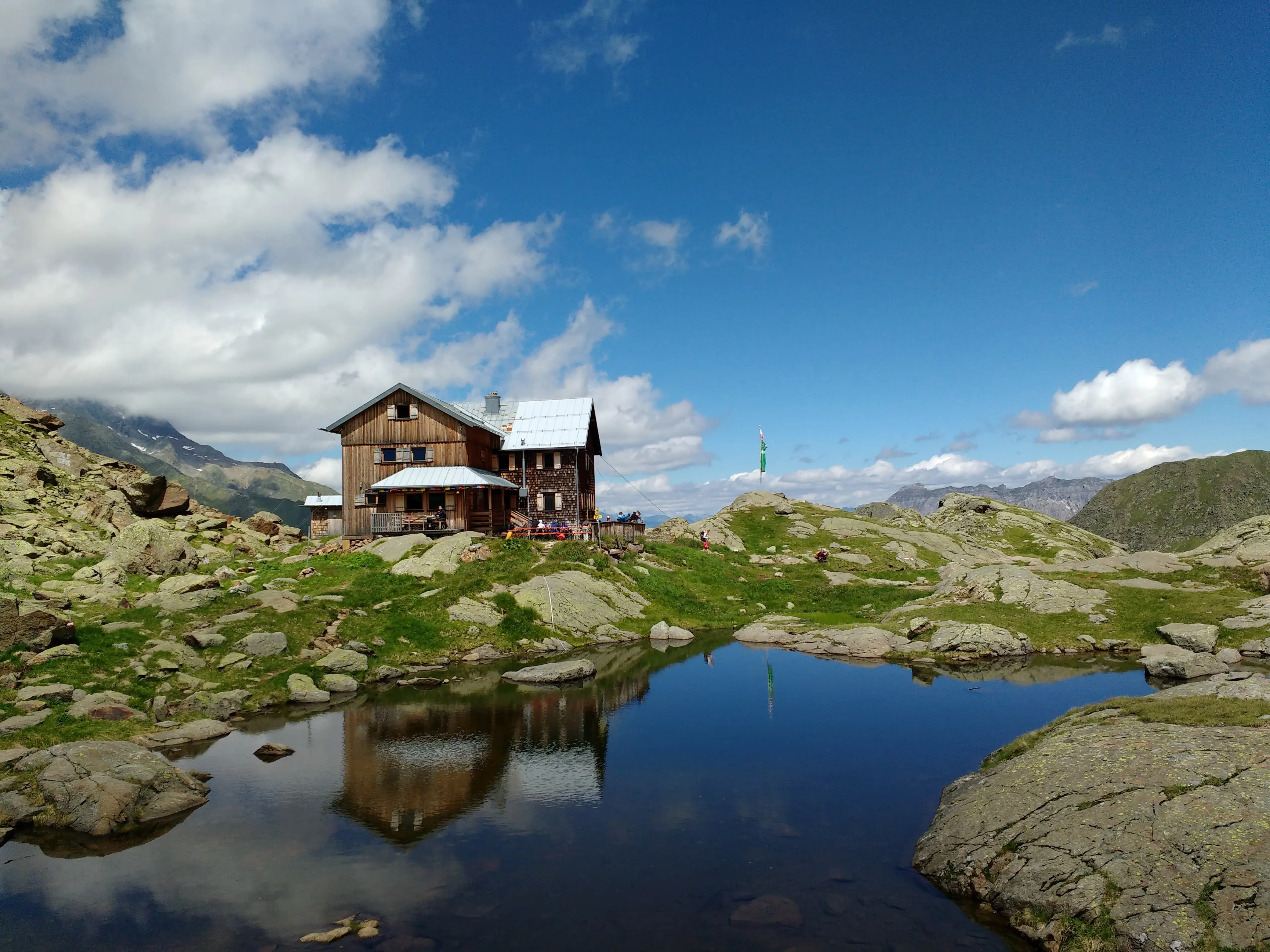
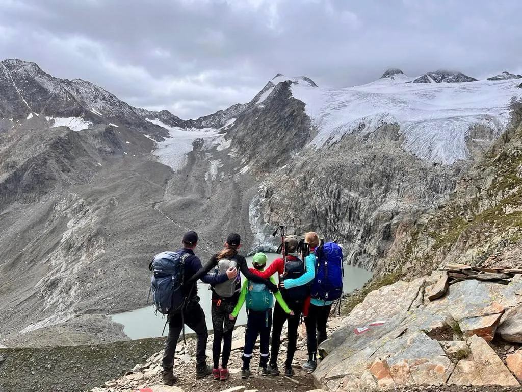
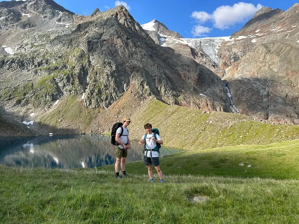
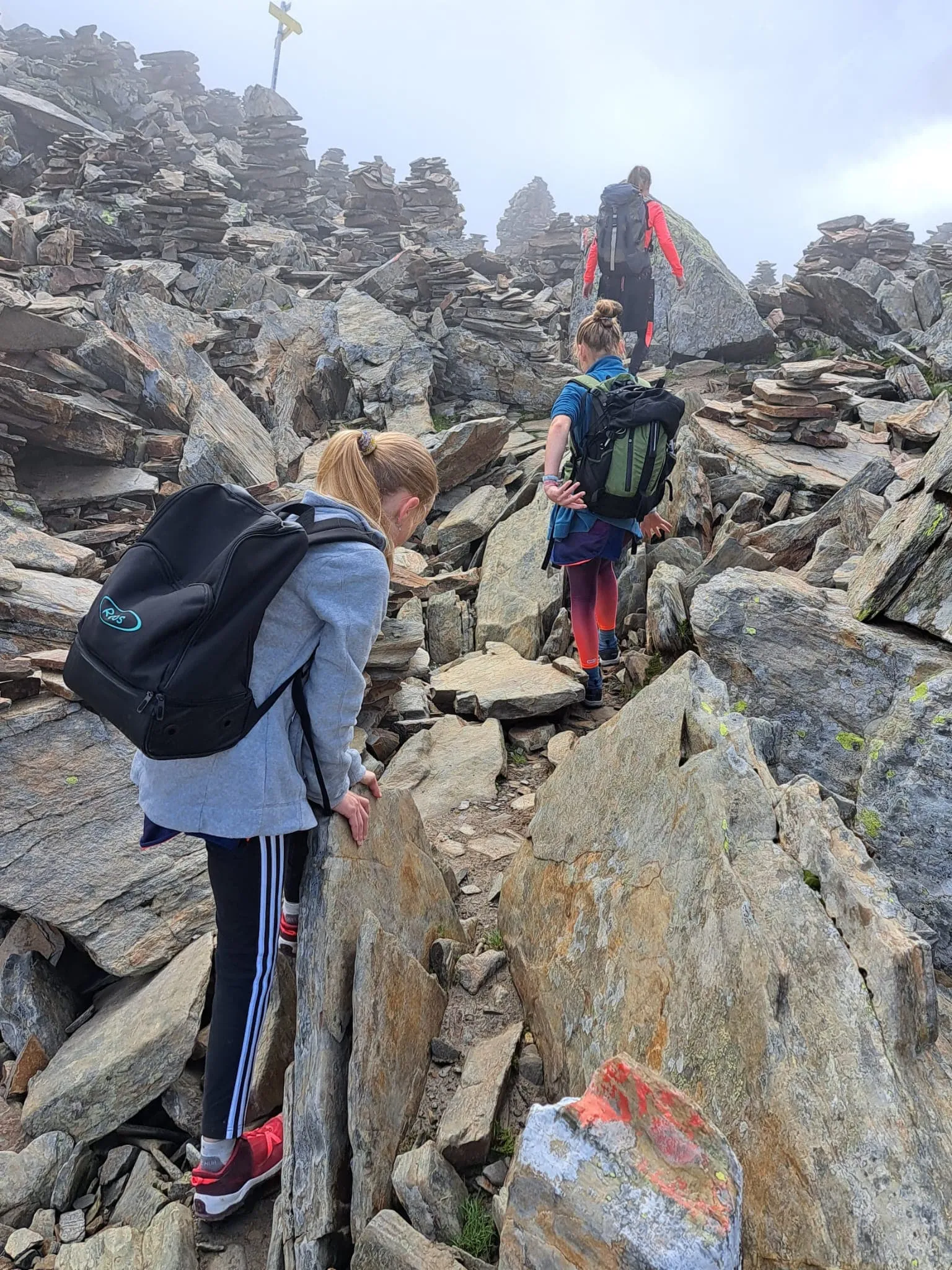
Today you see how the glaciers have shaped the landscape and the rock formations, and part of the route is called "paradise" for good reason. You reach it after about 2.5 kilometres through rugged, stony ground. Shortly after paradise the climbing begins in earnest, up to the Simmingjöchl at around 2,700 metres, and the drop on the other side is steeper still. There are short secured rock steps on the way, so hang your hiking poles on your bag and keep both hands free. This is not a via ferrata and there is nothing to clip a harness to, though gloves and a helmet are worth packing if heights make you nervous. At the Bremer Hütte, rest your feet in the small mountain lake and enjoy the peaks around you.

Bremer Hütte

Info
Bremer Hütte
Bremer Hütte
Day
3

Bremer Hütte - Innsbrücker Hütte

Duration: 05:55 h
Distance: 10.4 km
Ascent: 680 m
Descent: 730 m

This is one of the toughest days of the Stubaier Höhenweg and it should not be underestimated. From the Bremer Hütte the path first drops around 150 metres before the first of three climbs begins. Each one gains roughly 200 to 250 metres and each is followed by a descent, so the day is a constant rhythm of up and down. Allow six to seven hours. The distance is only 10.4 kilometres, but the ground is rocky and uneven and you move more slowly than that number suggests.

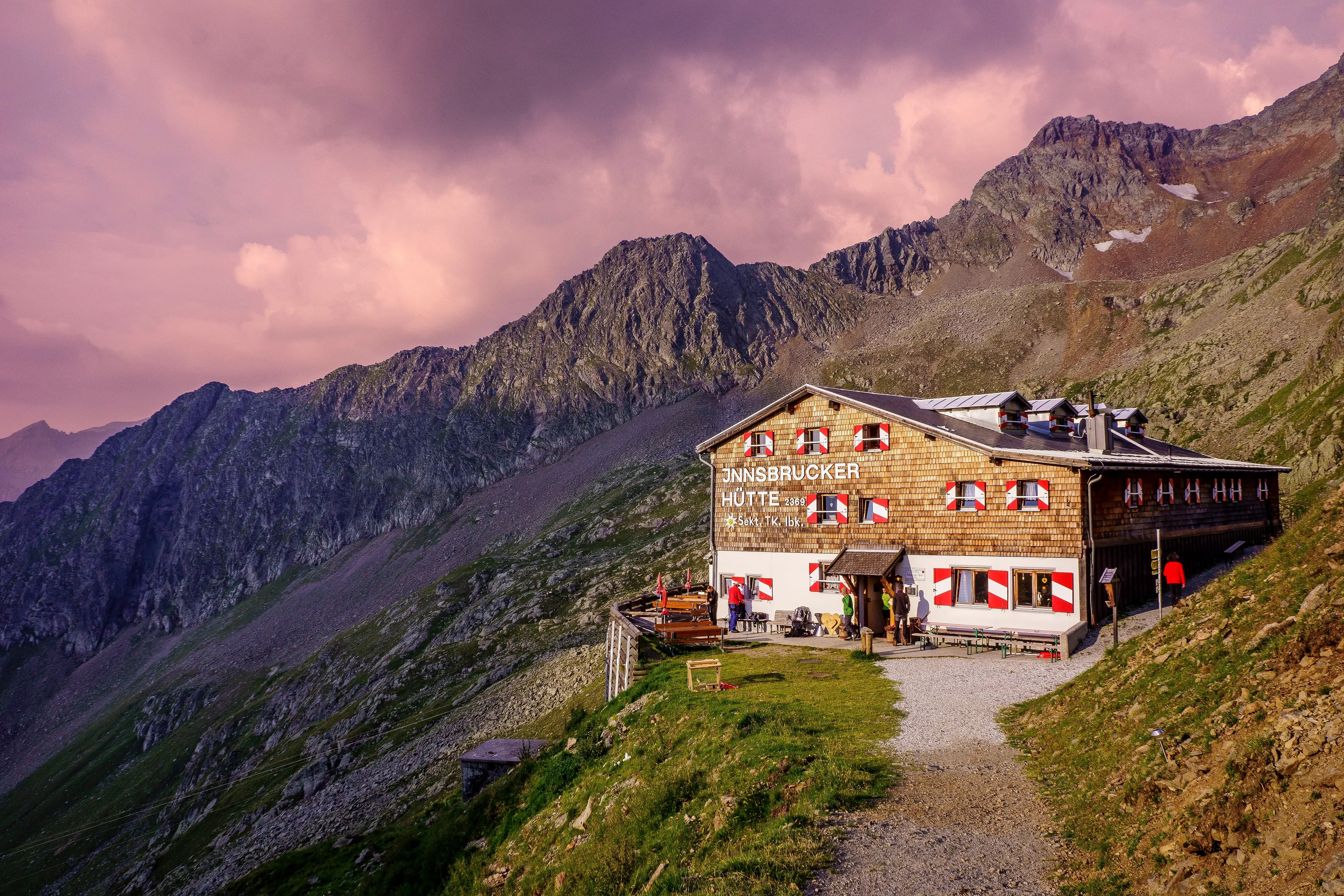
The second climb takes you up the Wasenwand, where the path is secured with steel cables, so keep both hands free here. Between the climbs, rock faces and green basins alternate and the scenery keeps changing all day. Experienced walkers treat this as a fair-weather route, so take care when conditions are less than good. Late in the day the Innsbrucker Hütte and the Alfaier See come into view, and after a long walk you arrive for a well-deserved cold beer.

Innsbrücker Hütte

Info
Innsbrücker Hütte
Innsbrücker Hütte
Day
4

Innsbrucker Hütte – Neustift im Stubaital

Duration: 06:38 h
Distance: 14.8 km
Ascent: 440 m
Descent: 1800 m

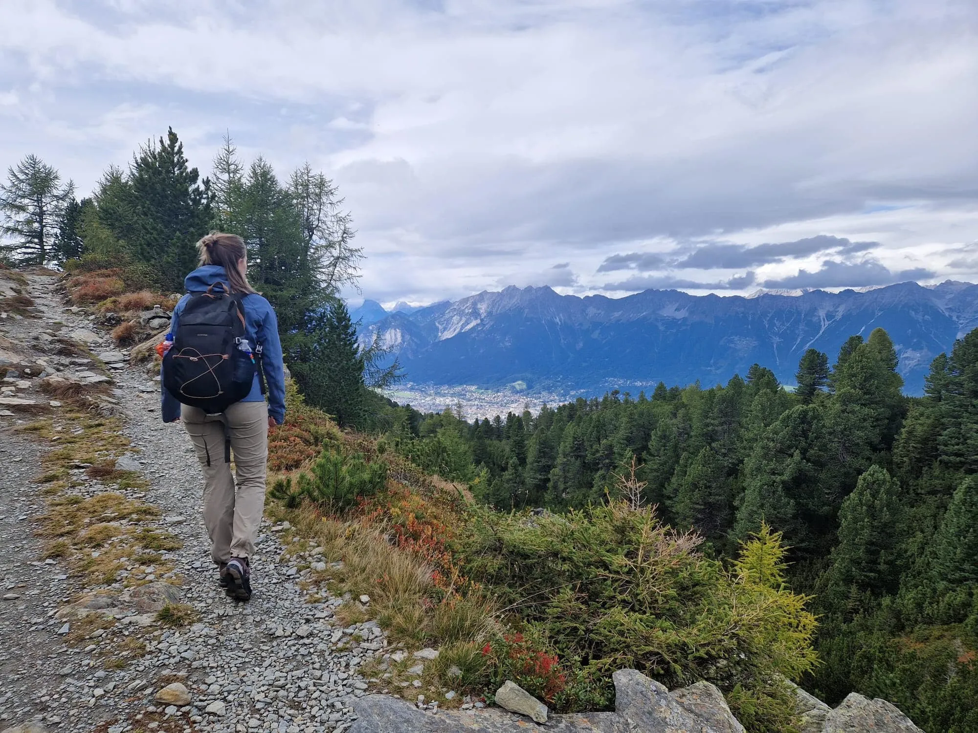
If you prefer to walk all the way down, you can simply follow this route. With the final descent ahead, the alpine world slowly gives way to greener slopes and gentler forests. You pass the Karalm, a tranquil rest point, before continuing into the valley. Waterfalls and wildflowers guide you toward civilization once more.

Contact our Trekking Expert
Naida Bonnema
Naida Bonnema
Naida Bonnema

Included

  • Accommodation

    During your Stubaier Höhenweg, you will stay overnight in comfortable accommodations. You'll sleep in private rooms, ensuring a good night's rest after each day on the trail.

  • Full travel guide

    You’ll receive access to our trekking app, which serves as your complete digital travel guide for the Stubaier Höhenweg. Inside, you’ll find everything you need for your trek: route descriptions, hiking maps, navigation support, payment information, and all the key details specific to your journey.

  • Accommodation

    During the trek, you’ll stay overnight in mountain huts. Accommodation is booked in dormitories (Lager) by default. Some huts offer private rooms (€50 per room, per night) or Mehrbettzimmer / small shared rooms (€12.50 per person, per night), subject to limited availability. If you’d like an upgrade, you can leave a comment while booking or email us immediately after booking. If a private room isn’t available, your booking will be placed in a Mehrbettzimmer or dormitory instead.

  • Half-board in Huts

    Accommodation at the huts includes dinner and breakfast. We will arrange this for you as well. This allows you to travel lighter and have one less thing to worry about. Bear in mind that lunch is not included, but it can be purchased at the huts. Here you can also buy an array of snacks and bottled water.

  • Navigation support

    Our trekking app also includes built-in navigation support. With GPS-based maps and offline access, you can follow the trail confidently and stay on route even without mobile signal.

Excluded

  • Traveling to and from

    You have to make your own way to the starting point. The total amount does not include personal transport.

  • Transfers

    Should you need any form of (public) transport on location, this is not part of the trekking package. This includes the use of taxi, bus, cable cars, gondolas, ferries, etc.

  • Lunch

    Half-board is included in the price of this trek. Lunch, however, is not. Many huts offer packed lunches, which can usually be requested the night before. Alternatively, you can stop for lunch at mountain huts along the way.

  • Travel Insurance

    Your international travel insurance is your own responsibility. Discuss your itinerary with the insurance company before your trek.

  • Personal expenses

    Personal expenses on such as souvenirs, drinks, and other similar expenses are for your own account.

FAQ

  • Stubai High Trail Weather and Season

  • How to Get To the Starting Point of the Stubaier Höhenweg

  • How to Get From the Endpoint Back to Grawa Alm

  • What if the dates I want are not available?

  • If I book now, can I immediately arrange the rest of my trip?

  • How do I know if this trek is right for me?

  • Can meals be adapted to my dietary requirements?

How to Book

  • Booking

  • Availability

  • Cancellation policy