

Stubaier Höhenweg Trail Run

  • Duration
    Total 3 days
    Average 3 h 45m
  • Distance
    Total 44 km
    Average 14.7 km
  • Ascent
    Total +2892 m
    Average +964 m
  • Descent
    Total -2203 m
    Average -734 m

> The first half of the Stubaier Höhenweg on light feet
> Top out on the Grawagrubennieder at around 2,850 metres
> Two hut nights booked, zero admin for you

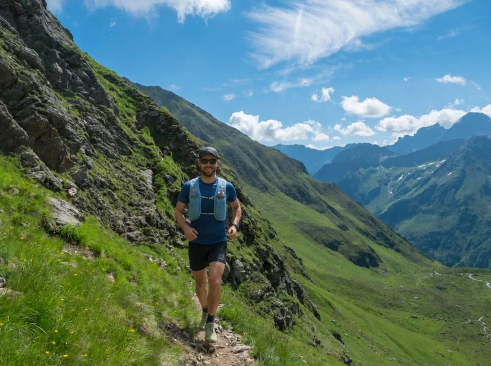
Afternoon, day two. Your pack is on a bunk at the Neue Regensburger Hütte, the Schrimmennieder is done, and you are flying down to the Falbesoner Ochsenalm with nothing on your back but a soft flask. Four hundred and fifty metres down, a cold drink at the alm, the same back up. Necessary? Not at all. The best hour of the trip? Quite possibly.

The Stubaier Höhenweg is one of the big hut routes of Tyrol. We took its first half and made it run-sized. Day one follows the Oberbergtal to the Franz-Senn-Hütte, named after the Neustift priest who co-founded the German Alpine Club. Day two is the Schrimmennieder plus that lunch run. Day three goes over the Grawagrubennieder, along the high balcony to the Dresdner Hütte and down to the Mutterbergalm. Fancy a bigger dose? Pick the long day one over the Starkenburger Hütte and the Seejöchl, the long day three over the Peiljoch, or both, right in the booking.

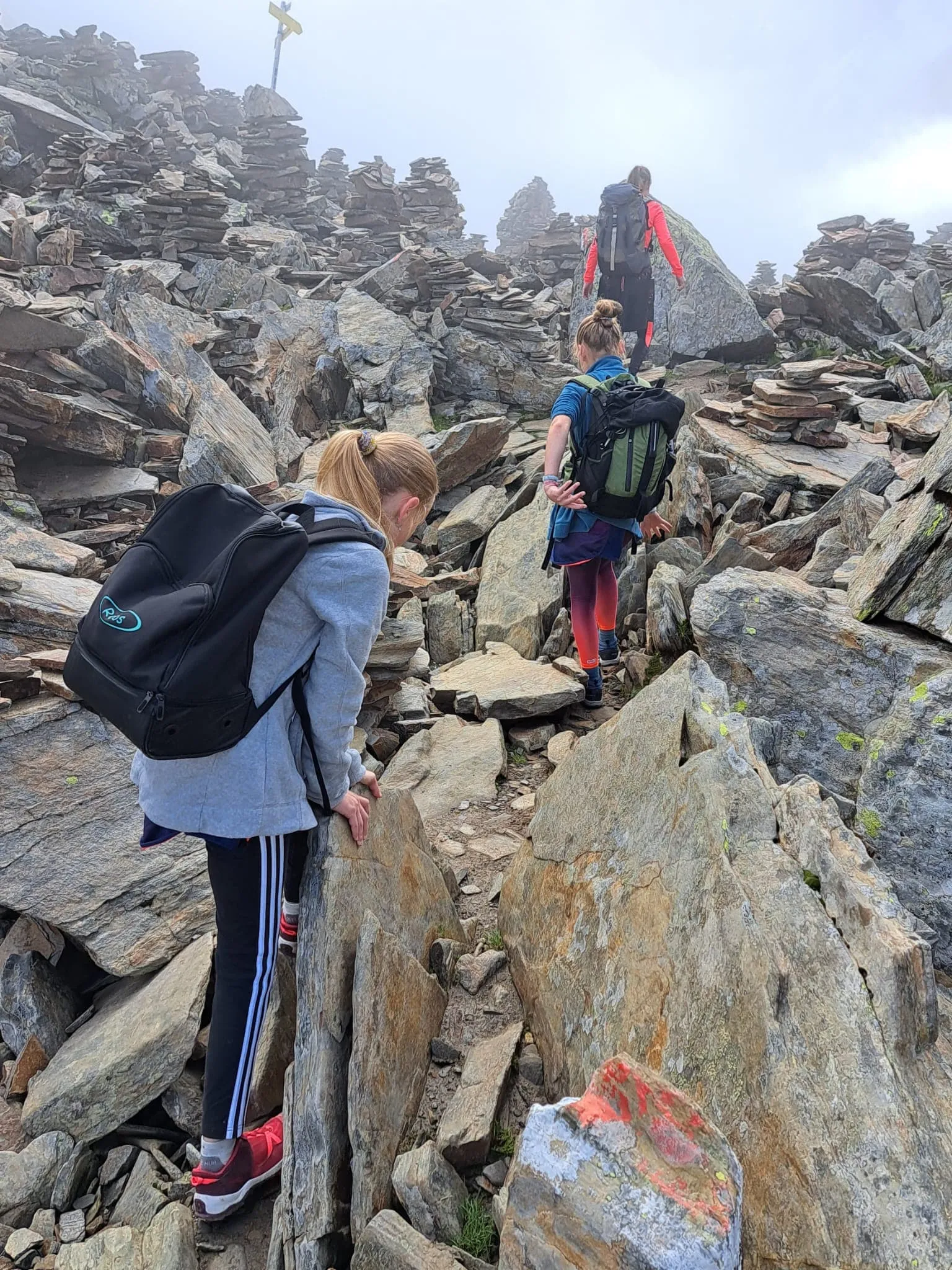
Built for trail runners who are at ease in alpine terrain. Expect stone, steep pitches and a few steel cables; on the climbs the power-hike is your best friend. Snow can hang around on the cols early in the season. Travel light but complete, 25 to 30 litres: hut sheet, shell, headlamp, snacks. We book the huts, you bring the legs. Deal?

Itinerary

Day
1

Neustift to Franz-Senn-Hütte through the Oberbergtal

Duration: 03:45 h
Distance: 15 km
Ascent: 1122 m
Descent: 4 m
Lowest Point: 991 m
Highest Point: 2109 m

A warm-up with a sting in the tail. Fifteen kilometres up the Oberbergtal, roughly 1,100 metres of gain, hardly a metre of descent all day, and most of the work saved for the end.

From the village centre you pick up the Oberbergbach and follow it deep into the valley on quiet lanes and trails. The first eight kilometres climb less than 500 metres, so this is where you actually run. Then the valley closes in, the meadows tilt, and the last six kilometres pile on around 600 metres to the hut.

The Franz-Senn-Hütte sits at about 2,150 metres, a big, busy house of the Austrian Alpine Club with the Schrimmennieder waiting behind it for tomorrow. Plan on three hours and 45 minutes.

Too tame? The long version climbs out of Neustift to the Starkenburger Hütte, crosses the Seejöchl and comes in on the high trail: 21 kilometres and some 1,750 metres up. Select it when you book.

Franz-Senn Hütte

Info
Franz-Senn Hütte
Franz-Senn Hütte
Day
2

Franz-Senn-Hütte to Neue Regensburger Hütte via the Falbesoner Ochsenalm

Duration: 03:45 h
Distance: 13.7 km
Ascent: 989 m
Descent: 891 m
Lowest Point: 1825 m
Highest Point: 2686 m

One col, one hut and a bonus lap. Just under 14 kilometres and about 1,000 metres of climbing in total, which leaves time to put your feet up before the big one tomorrow.

Leaving the Franz-Senn-Hütte, the first two kilometres are gentle. Then the trail gets to work: roughly 550 metres up to the Schrimmennieder, around 2,700 metres and reached after six kilometres. The far side is steep and stony, so mind your feet on the way down to the Neue Regensburger Hütte at about 2,290 metres.

Leave your gear at the hut and take the access trail down the Falbesontal to the Ochsenalm at 1,822 metres. Refuel at the alm, turn around and climb back to the hut on legs that suddenly feel a lot lighter. Three hours and 45 minutes of moving time, give or take, and a whole afternoon on the terrace.

Neue Regensburger Hütte

Info
Neue Regensburger Hütte
Day
3

Neue Regensburger Hütte to the Mutterbergalm via the Grawagrubennieder and Dresdner Hütte

Duration: 03:45 h
Distance: 15.3 km
Ascent: 781 m
Descent: 1308 m
Lowest Point: 1757 m
Highest Point: 2841 m

The crux comes first. Within four kilometres of the hut you stand on the Grawagrubennieder at around 2,850 metres, the high point of the trip, after a climb of some 550 metres.

The top section is steep and rocky, with cables on the hardest bits. Take it slowly here; the running comes later. Beyond the col the path drops and settles into a long balcony between 2,300 and 2,700 metres, up and down and rarely flat, all the way to the Dresdner Hütte at kilometre twelve.

Then gravity takes over. Around 550 metres of descent bring you to the Mutterbergalm, the valley station of the Stubai Glacier, with buses back to Neustift and Innsbruck. Fifteen kilometres and three hours and 45 minutes, more or less. Beer o'clock.

Not done yet? Add the Peiljoch and the Sulzenau Hütte and finish at the Grawa Alm instead: 22 kilometres and close to 1,200 metres of climbing. You can switch to it in the booking.

Contact our Trekking Expert
Naida Bonnema
Naida Bonnema
Naida Bonnema

Included

  • Full travel guide

    You’ll receive access to our trekking app, which serves as your complete digital travel guide for the Stubaier Höhenweg. Inside, you’ll find everything you need for your trek: route descriptions, hiking maps, navigation support, payment information, and all the key details specific to your journey.
  • Accommodation

    During your Stubaier Höhenweg, you will spend your nights in mountain huts. We normally book dormitories, but private rooms may be available upon request for an additional €75 per room per night. Please note that not all huts offer private rooms, and availability is limited. If a private room is not available, we will automatically book a bed in a dormitory.
  • Half-board in Huts

    Accommodation at the huts includes dinner and breakfast. We will arrange this for you as well. This allows you to travel lighter and have one less thing to worry about. Bear in mind that lunch is not included, but it can be purchased at the huts. Here you can also buy an array of snacks and bottled water.

Excluded

  • Traveling to and from

    You have to make your own way to the starting point. The total amount does not include personal transport.
  • Transfers

    Should you need any form of (public) transport on location, this is not part of the trekking package. This includes the use of taxi, bus, cable cars, gondolas, ferries, etc.
  • Lunch

    Half-board is included in the price of this trek. Lunch, however, is not. Many huts offer packed lunches, which can usually be requested the night before. Alternatively, you can stop for lunch at mountain huts along the way.
  • Travel Insurance

    Your international travel insurance is your own responsibility. Discuss your itinerary with the insurance company before your trek.
  • Personal expenses

    Personal expenses on such as souvenirs, drinks, and other similar expenses are for your own account.

FAQ

  • Best time to hike the Stubai High Trail: weather and season

  • How to Get To the Starting Point of the Stubaier Höhenweg Trail Run

  • How to Get Back From the Mutterbergalm

  • What if the dates I want are not available?

  • If I book now, can I immediately arrange the rest of my trip?

  • How do I know if this trek is right for me?

  • Can meals be adapted to my dietary requirements?

How to Book

  • Booking

  • Availability

  • Cancellation policy