

Venediger Höhenweg Trail Run

  • Duration
    Total 3 days
    Average 4 h
  • Distance
    Total 47 km / 29.2 mi
    Average 15.7 km / 9.7 mi
  • Ascent
    Total +2873 m / +9425 ft
    Average +958 m / +3142 ft
  • Descent
    Total -2938 m / -9640 ft
    Average -979 m / -3213 ft

> Run three stages of the Venediger Höhenweg in a single day
> A loop from Prägraten: no transfers, no taxi, back where you parked
> Beds at the Essener-Rostocker and Bonn-Matreier huts, already sorted

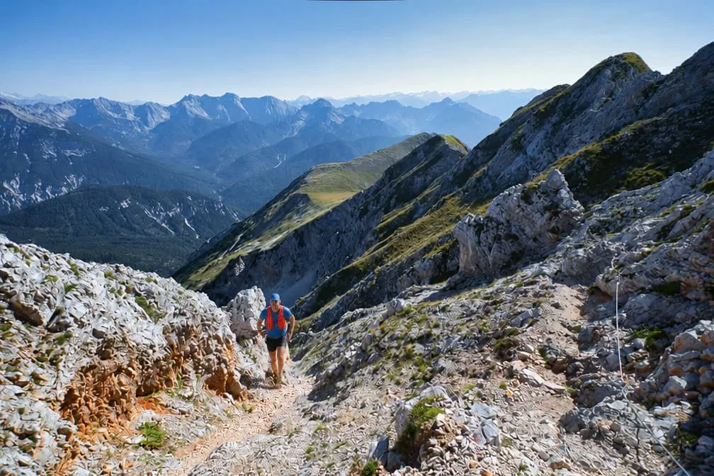
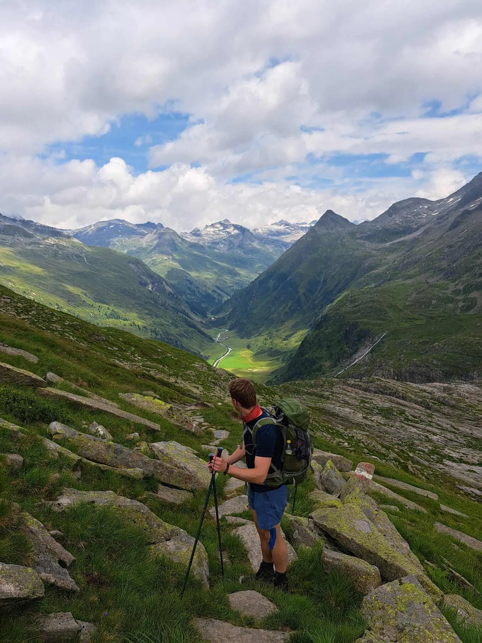
Steel under your fingers, slabs under your shoes, and the Zopetscharte a few moves above you at almost 2,960 metres. Behind you the Johannishütte has shrunk to a dot. Ahead the trail drops to the Eisseehütte, and somewhere beyond that the Bonn-Matreier Hütte waits with dinner. You have been going for four hours. Two to go.

Hikers give the Venediger Höhenweg a week. This version keeps its best part and turns it into a loop. Day one warms up along the Isel to the Essener-Rostocker-Hütte. Day two is the big one: over the Türmljoch to the Johannishütte, over the Zopetscharte to the Eisseehütte and on to the Bonn-Matreier Hütte, almost 20 kilometres at altitude. Day three drops 1,550 metres to Virgen and runs back up the valley to Prägraten.

This one is Advanced, and day two is the reason. Expect steel cables, slab and boulder fields, narrow paths above steep slopes and about 1,750 metres of climbing in one day, much of it at walking pace. Early in the season snow can lie on the high cols. Carry a light pack with a hut sheet, waterproof, warm layer and food for a long day between huts. Beds booked, route drawn. The rest is legwork.

Itinerary

Day
1

Prägraten to the Essener-Rostocker-Hütte along the Isel

Trail run route

Duration: 03:00 h
Distance: 11.4 km / 7.1mi
Ascent: 920 m / 3018ft
Descent: 52 m / 171ft
Lowest Point: 1290 m / 4232ft
Highest Point: 2181 m / 7156ft

An easy opener with a stiff finish. The first eight kilometres follow the Isel upstream and gain only about 300 metres; the last three and a half take care of the rest of the day's 900. Start relaxed, tomorrow is the one that counts.

From Prägraten the trail runs along the river, one of the few glacier rivers in the Alps still running free, through meadows and patches of forest towards Ströden, where the Hohe Tauern National Park begins. Past the Stornalm the valley narrows, waterfalls come down the slopes and the path starts to zigzag in earnest.

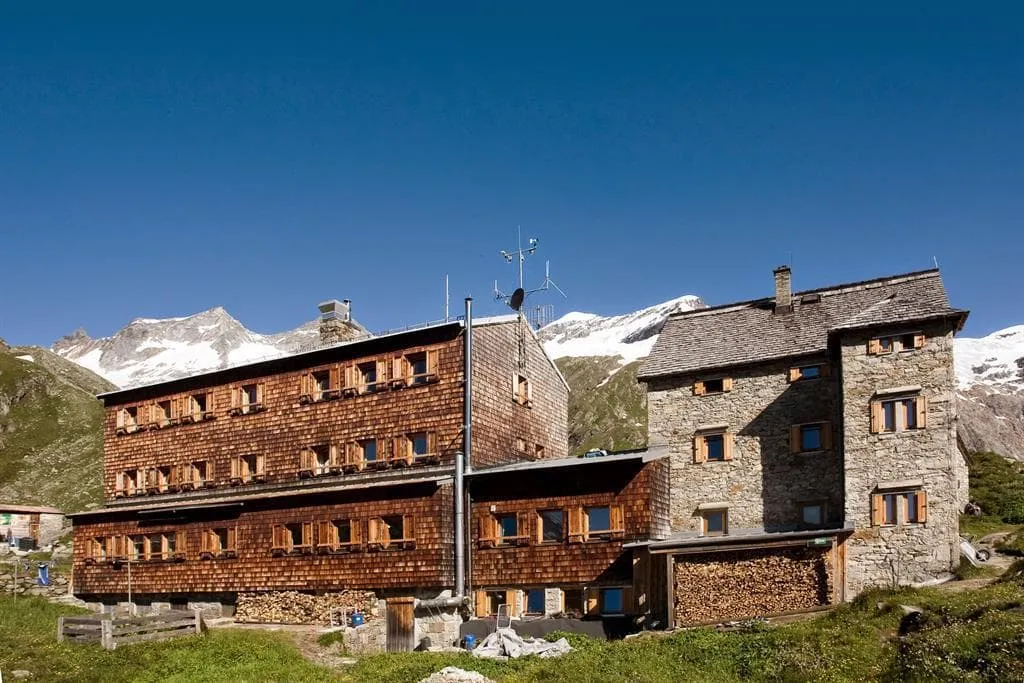
The Essener-Rostocker-Hütte sits in the upper Maurertal at about 2,200 metres, a big house with space for some 160 guests. Just over 11 kilometres, around 3 hours if you keep it steady.

Essener-Rostocker-Hütte

Info
Essener-Rostocker-Hütte
Day
2

Essener-Rostocker-Hütte to the Bonn-Matreier Hütte via the Johannishütte and Eisseehütte

Duration: 06:00 h
Distance: 19.6 km / 12.18 mi
Ascent: 1735 m / 5692 ft
Descent: 1264 m / 4147 ft
Lowest Point: 2122 m / 6962 ft
Highest Point: 2917 m / 9570 ft

Three hiking stages in one go, and the reason this trip exists. Almost 20 kilometres, two high cols, two huts to pass and roughly 1,750 metres of climbing, with the most technical ground of the whole Venediger Höhenweg in the middle. Leave early and keep something in reserve.

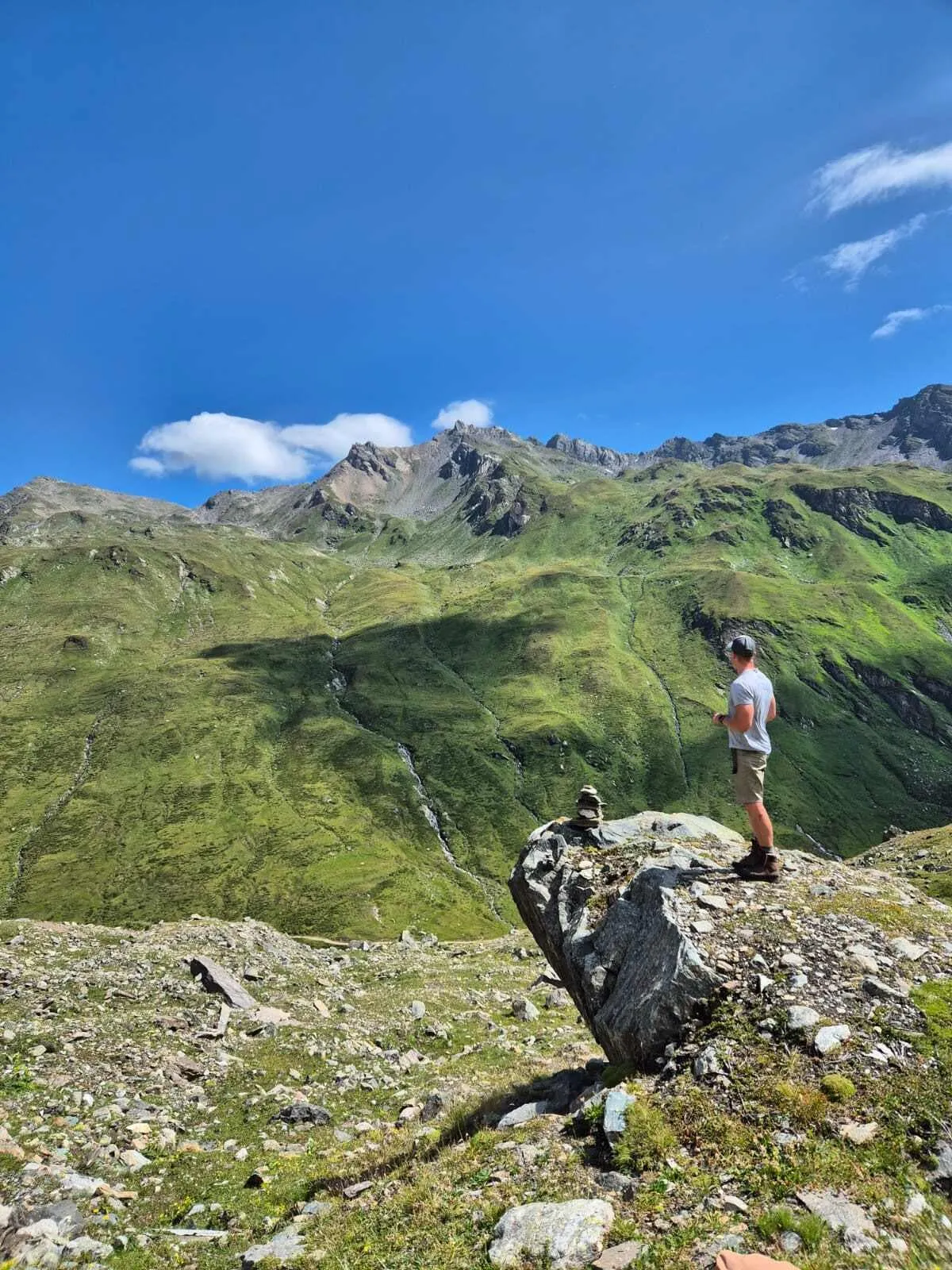
The first climb takes you over the Türmljoch at 2,844 metres and down to the Johannishütte at 2,121 metres, the low point of the day and a good place for a drink. Then comes the real test: a climb of some 800 metres to the Zopetscharte at 2,958 metres, past large slab and boulder fields, with steel cables on the steepest rock. This is hiking terrain, not running terrain, and it needs a head for heights.

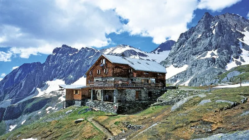
Beyond the col you drop to the Eisseehütte at about 2,520 metres, run by the Islitzer family. The last stretch follows narrow paths along steep slopes, with two short, sharp climbs before the Bonn-Matreier Hütte at around 2,750 metres, high above the Virgental. Plan for about 6 hours on the move, more if the slabs are wet.

Bonn-Matreier Hütte

Info
Bonn-Matreier Hütte
Bonn-Matreier Hütte
Day
3

Bonn-Matreier Hütte to Virgen and back to Prägraten

Duration: 03:00 h
Distance: 16 km / 9.94 mi
Ascent: 218 m / 715 ft
Descent: 1622 m / 5322 ft
Lowest Point: 1181 m / 3875 ft
Highest Point: 2738 m / 8983 ft

One long drop and a cool-down. From the hut it is about 1,550 metres down to Virgen in the first nine kilometres, then an easy run up the valley to where you started. Your quads will notice; your lungs get the day off.

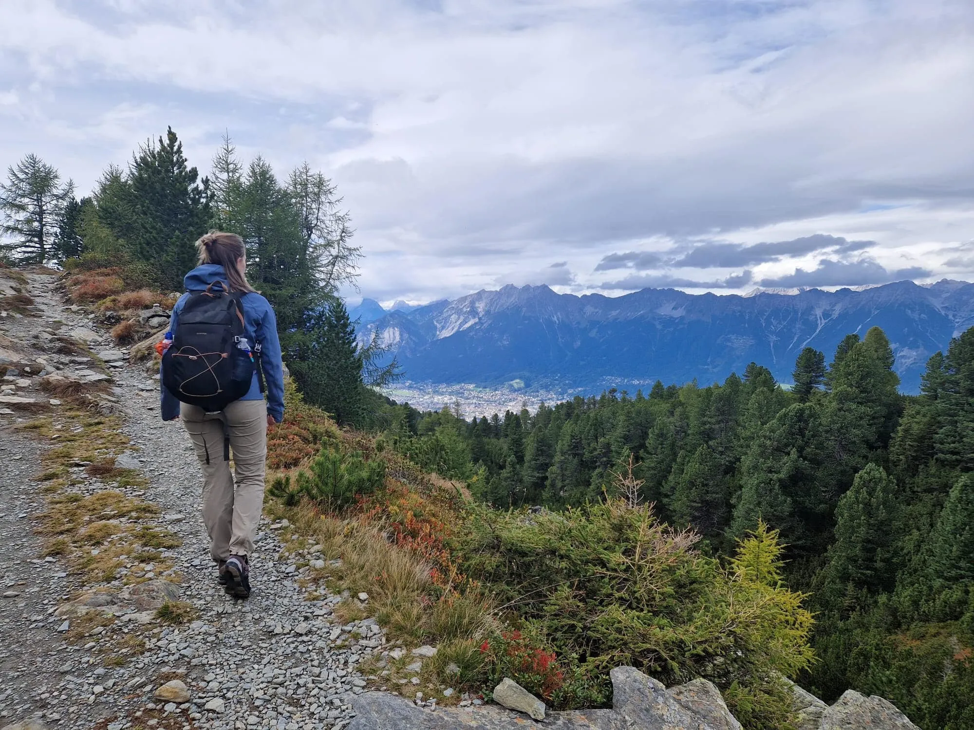
The descent starts on rocky trail below the hut and loses height fast, first over open alpine slopes and lower down through the trees. Take the top part carefully while the legs wake up, then let it roll. Around kilometre nine you reach the valley floor near Virgen at about 1,200 metres.

The last seven kilometres follow the valley back west to Prägraten, gaining barely 100 metres. The loop closes where it began: at the bus stop for Matrei and Lienz, or at your car. 16 kilometres, about 3 hours.

Contact our Trekking Expert
Naida Bonnema
Naida Bonnema
Naida Bonnema

Included

  • Full travel guide

    You’ll receive access to our trekking app, which serves as your complete digital travel guide for the Venediger Höhenweg. Inside, you’ll find everything you need for your trek: route descriptions, hiking maps, navigation support, payment information, and all the key details specific to your journey.
  • Accommodation

    During your Venediger Höhenweg, you will spend your nights in mountain huts. We normally book dormitories, but private rooms may be available upon request for an additional €75 per room per night. Please note that not all huts offer private rooms, and availability is limited. If a private room is not available, we will automatically book a bed in a dormitory.
  • Half-board in Huts

    Accommodation at the huts includes dinner and breakfast. We will arrange this for you as well. This allows you to travel lighter and have one less thing to worry about. Bear in mind that lunch is not included, but it can be purchased at the huts. Here you can also buy an array of snacks and bottled water.

Excluded

  • Traveling to and from

    You have to make your own way to the starting point. The total amount does not include personal transport.
  • Transfers

    Should you need any form of (public) transport on location, this is not part of the trekking package. This includes the use of taxi, bus, cable cars, gondolas, ferries, etc.
  • Lunch

    Half-board is included in the price of this trek. Lunch, however, is not. Many huts offer packed lunches, which can usually be requested the night before. Alternatively, you can stop for lunch at mountain huts along the way.
  • Travel Insurance

    Your international travel insurance is your own responsibility. Discuss your itinerary with the insurance company before your trek.
  • Personal expenses

    Personal expenses on such as souvenirs, drinks, and other similar expenses are for your own account.

FAQ

  • Is the Venediger High Trail Suitable for Me?

  • What Is the Best Season for the Venediger Höhenweg?

  • How to Get To the Starting Point of the Venediger Höhenweg Trail Run

  • How to Get Back From Prägraten

  • What if the dates I want are not available?

  • If I book now, can I immediately arrange the rest of my trip?

  • How do I know if this trek is right for me?

  • Can meals be adapted to my dietary requirements?

How to Book

  • Booking

  • Availability

  • Cancellation policy