Königssee, St. Bartholomä and Obersee
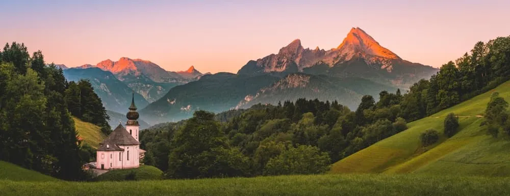
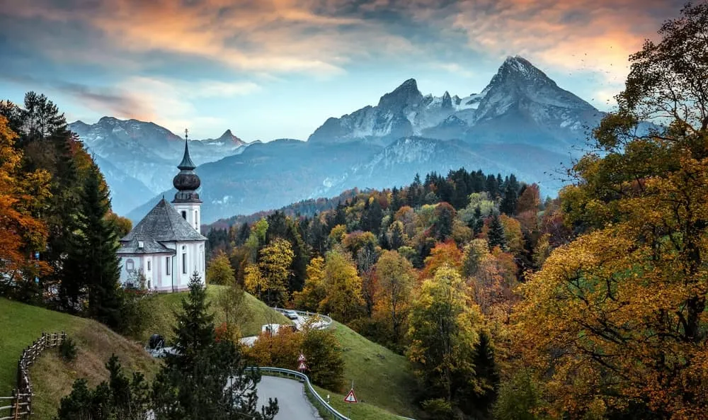
The Königssee is the face of the region, and it lives up to the photographs: emerald-green water between sheer rock walls, the pilgrimage church of St. Bartholomä on the western shore, with the Watzmann's east face rising behind it. The boat takes you to St. Bartholomä, from where a footpath continues to the Obersee, a quiet high-mountain lake with the Fischunkelalm on its shore. Walking from the Königssee to the Obersee counts as one of the finest routes in the entire national park: barely any climbing, but a spectacular finale. At the Obersee, the Röthbachfall plunges down, Germany's highest waterfall. Anyone searching for a waterfall walk at the Königssee will almost always end up here.
Worth knowing: the lake cannot be circled on foot. The eastern shore is trackless and closed. If you're after a circular route around the Königssee, you won't find it along the water, but up on the Jenner or via the Malerwinkel back to the valley station.
This area suits anyone happy to start from the boat. It suits those seeking solitude less: July and August on the western shore are busy.
The Watzmann and the Wimbachtal
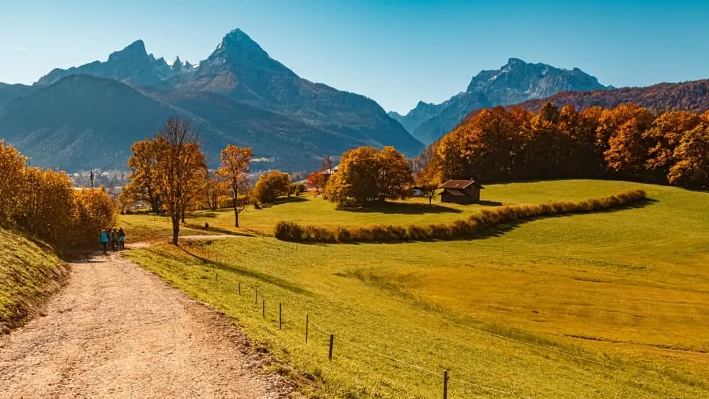
The Watzmann is Germany's second-highest mountain and the defining massif of the region. It's visible from almost every viewpoint, and its east face drops straight into the Königssee. For hikers, the summit isn't the goal, but rather the area around it: the Wimbachklamm gorge as the entry point into the Wimbachtal, a broad, stony trough valley running up towards the Watzmannhaus. The Wimbachklamm is short, impressive and well secured. The valley beyond it is long, peaceful and rarely visited.
To be clear: the Watzmann traverse and the east face are mountaineering, not hiking. Walkers who want to explore the flanks of the massif have good paths for doing so, but the massif itself is a backdrop for hikers, not a destination.
This area suits experienced hikers with time on their hands. It suits families with young children less well.
Jenner and the alpine pastures above Schönau
The Jenner is Schönau's local mountain, served by the Jenner cable car. Ride up and you're rewarded with a panoramic view over the Königssee, the Steinernes Meer and, on clear days, far into the Alps. From the upper station, panoramic paths lead down to the pastures below: Königsbachalm, Mitterkaseralm, Priesbergalm. The descent through the alpine meadows is one of the finest family routes in the region, well marked, with places to stop for refreshments and manageable changes in altitude.
This area is ideal if you want the views without a long climb on foot. Compared with the interior of the national park it's more accessible, and compared with the Königssee shore it's much quieter.
Ramsau, Hintersee and Zauberwald
Ramsau is the most relaxed valley town in the Berchtesgadener Land. The Hintersee is smaller than the Königssee, less well known, and all the more beautiful for it. The so-called Zauberwald ("enchanted forest") on the shore of the Hintersee, a moss-covered geotope, is a must for families. Alpine pasture paths lead on from here beneath the Hochkalter and the Reiteralm, a landscape that's noticeably calmer than the Königssee area.
For beginners and families, Ramsau is a better starting point than Schönau. The paths are wider, the descents shorter, the crowds smaller. Compared with the heart of the national park it lacks the alpine drama, but it also lacks the risk.
Berchtesgadener Land: Untersberg and Rossfeld
The Untersberg is the border mountain between Bavaria and Salzburg province. Its high plateau is a karst landscape with its own character, good for panoramic walks and as an alternative when the national park huts are fully booked. The Rossfeld offers high-level circuits with views over the whole Berchtesgadener Land, without setting foot in the national park. Bad Reichenhall, with the Predigtstuhl, rounds out the offering to the north.
This area suits day hikers keen to avoid the national park crowds in August, and anyone wanting to explore hiking in the Berchtesgadener Land beyond the national park's boundaries.