Hiking in Corsica: The Best Trails, Coastal Walks and Multi-Day Routes on the Island of Beauty

Hiking in Corsica: The Best Trails, Coastal Walks and Multi-Day Routes on the Island of Beauty
Trekking experts per destination
Free cancellation up to eight weeks in advance
Quick personal advice

Hiking in Corsica is the experience of walking through a mountain range that happens to sit in the middle of the Mediterranean Sea. Granite peaks, forests of Laricio pine, river pools and glacial lakes are never more than an hour's drive from white sand beaches, all within a French département where the local language, food and culture remain unmistakably Corsican. Most visitors know only the GR20, but the island holds a whole second layer of walking — coast-to-coast routes crossing from sea to sea through villages, coastal paths hugging dramatic cliffs, and superb day hikes within reach of any hire car. With Bookatrekking, we book the refuges and hotels, arrange the transfers, and give you our app with offline maps, GPX tracks and a weather forecast per stage. This guide covers where to walk, the main regions, multi-day routes, day walks, difficulty, the best months, where you sleep, and which of our trips fits you best.


Why go hiking in Corsica?

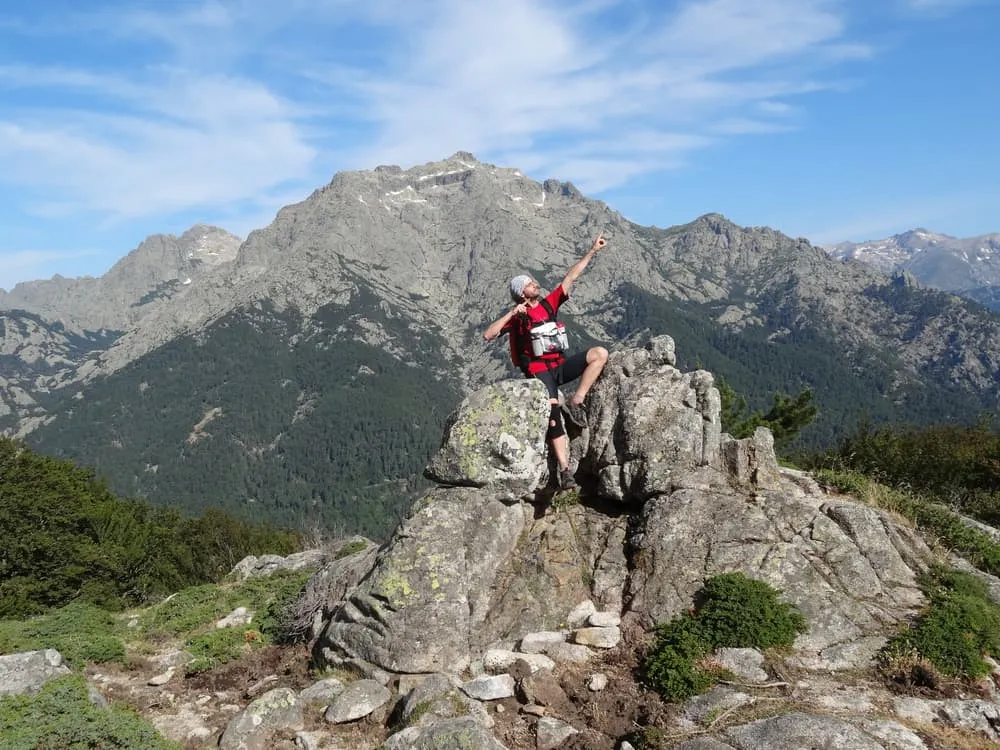
Hiking in Corsica gives you the highest and wildest mountains in the western Mediterranean at an altitude that feels alpine but rarely demands the acclimatisation of the true high Alps. Monte Cinto reaches 2,706 m, and the ridge running the length of the island throws up dozens of peaks above 2,000 m, each separated by granite needles, hanging cirques and glacial lakes that glow turquoise in summer. Nearly half the island sits inside the Parc naturel régional de Corse, which keeps the interior empty and the paths quiet for much of the year. The walking season runs later into autumn than in the Alps: while the high route begins to close in October, the coast-to-coast and coastal trails are at their very best through mid-October, with warm sea, stable skies and almost no other walkers.

The best hiking in Corsica is genuinely two-tiered. One tier is serious mountain terrain: sustained rock, chains and scrambling on the island's famous high route that humbles fit, experienced walkers. The other tier is far more accessible: waymarked coast-to-coast routes through chestnut villages, mule paths along dramatic gorges, and day hikes to lake cirques you can reach from a car park. The honest flip side: the interior is rugged and slow to travel through, summer heat is intense below 1,200 m, and the ferries and coastal hotels in August are the expensive part of any trip.


Where is Corsica and how do you get there?

Corsica is a French island lying north of Sardinia and west of Tuscany in the Tyrrhenian Sea, part of France yet with its own Corsican language and a strong local identity. There are four airports: Bastia (BIA) in the northeast, Ajaccio (AJA) in the southwest, Calvi (CLY) in the northwest and Figari (FSC) in the far south. From the UK, the clearest direct link at time of writing is London Gatwick to Bastia on easyJet, though routes change seasonally — check current schedules before booking. Birmingham and other regional UK airports typically connect via Paris, Nice or Marseille. From Ireland, the most practical connection is through Paris Charles de Gaulle or Dublin to Nice, then onward by air or ferry.

Ferries serve the island from Nice, Marseille and Toulon in France, and also from Livorno, Savona and Piombino in Italy. A slow but scenic narrow-gauge train links Bastia, Corte, Calvi and Ajaccio — genuinely useful for reaching Calenzana (near Calvi) or Corte. Buses in the interior are sparse, which is why transfers matter for any multi-day trek.

The practical bases for hiking in Corsica France depend on where you want to walk. Calvi and Calenzana open up the northwest and the Balagne. Corte sits in the heart of the mountains and is the gateway to the Restonica and Tavignano valleys. Porto and Évisa give access to the dramatic west coast gorges. Porto-Vecchio and Bonifacio are the southern anchors, while the Aiguilles de Bavella are reachable from Porto-Vecchio. For Cap Corse, the peninsula in the far north, Bastia is the natural arrival point.


The best regions for hiking in Corsica

Corsica hiking routes divide naturally into six regions, each with its own character and the right trails in Corsica for a different kind of walker.

The northwest around Calvi and the Balagne is where the island's most famous long-distance trail begins, at the village of Calenzana. The hills here are gentler near the coast, threaded with terraced olive groves and maquis scrub, before the terrain sharpens dramatically inland. It is also the departure point for our shorter trekking options on the island's high route.

The wild west coast from the Gulf of Porto south through the Calanques de Piana and the Spelunca gorge is some of the most photographed landscape in the Mediterranean. Towering orange and red rock formations drop straight into the sea, and old Genoese mule paths thread between the cliffs and the chestnut forests above Évisa and Ota. The hiking trails in Corsica here are well-shaded and stunning in spring and autumn.

The mountainous centre around Corte is the trekker's heartland. The Restonica valley above Corte climbs through Laricio pine forest to the glacial lakes of Melo and Capitello, two of the island's most celebrated day-hike destinations. The Tavignano gorge runs east from Corte along an ancient mule path. Monte Cinto, the island's highest summit at 2,706 m, looms to the northwest, while Monte Rotondo (2,622 m) and Monte d'Oro (2,389 m) form the backbone of the central massif.

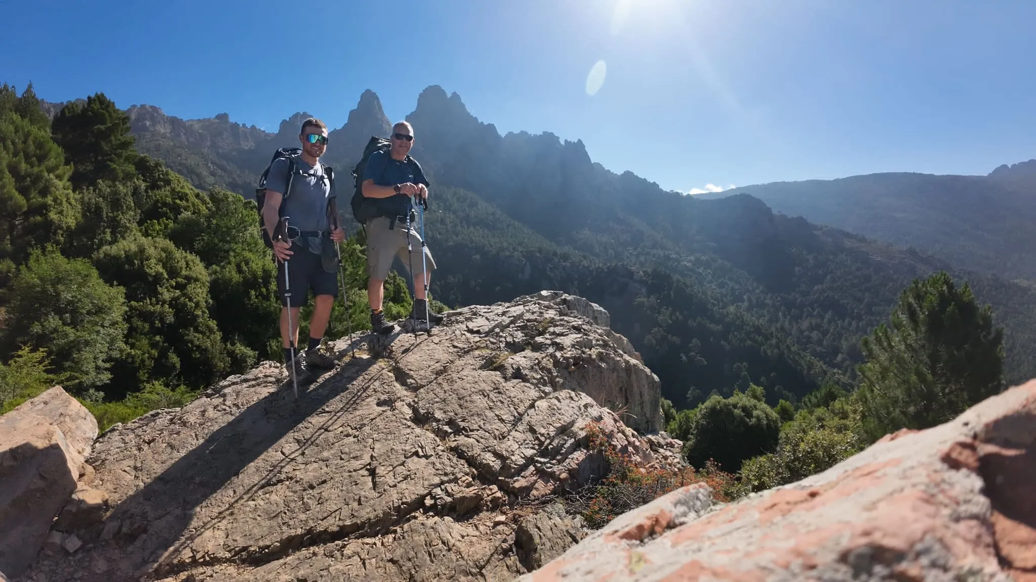
The south around the Aiguilles de Bavella is for those who want drama without committing to a week on the high route. The granite needles of Bavella rise above a pine forest above the Col de Bavella, and paths radiate in every direction, including the famous Trou de la Bombe natural arch. The Ospedale forest and the Cartalavonu plateau add quieter, forest-walking options nearby.

Cap Corse, the finger of land in the far north, carries the Sentier des Douaniers customs path along its cliffs and coastline — one of the most scenic coastal walks in France. The coastline around Bonifacio in the far south offers cliff-top paths above the famous white citadel and the Lavezzi islands. These are the Corsica hiking routes most accessible to non-specialists.


Multi-day routes in Corsica: Mare a Mare, Mare e Monti and our bookable treks

The Mare a Mare (sea to sea) routes are Corsica's best-kept hiking secret. Three waymarked trails cross the island from the east coast to the west coast: the Mare a Mare Sud, Centre and Nord. They pass through inland villages, chestnut forests, bergeries and river gorges rather than along the high mountain ridge, which means they suit a far wider range of walkers. Paths are well-maintained and logically staged, accommodation is in village gîtes d'étape and small hotels, and the routes are walkable in spring (from late April) and well into October when the high peaks are already in doubt. If you want a walking holiday Corsica that feels genuinely different from standard mountain trekking, the Mare a Mare routes are the answer.

The Mare e Monti routes link the mountains with the sea along the west coast, combining coastal scenery with pine forest and maquis. Like the Mare a Mare, these are village-based and gentler than the island's high route. The northern Mare e Monti runs for around six days between Calenzana and Cargèse, while the southern section offers a shorter but equally rewarding coastal experience. For a hiking holiday Corsica that combines sea views and mountain air without full alpine exposure, these trails are ideal.

With Bookatrekking, a self-guided multi-day trek means no group, no guide: we arrange the beds, half board where it exists, transfers between road-accessible stages, and navigation through our app. You walk with a day pack wherever the route allows. We offer three variants of the island's iconic high-mountain route: a four-day Petit GR20 taster, ideal for those with a long weekend or a first-time curiosity about the high peaks; a six-day southern half, the friendlier and greener section of the traverse for fit walkers with a clear week; and the full fifteen-day traverse, the complete island crossing for experienced mountain walkers who are ready for the whole thing.


The GR20 in brief

The GR20 runs the full length of Corsica's mountain spine between Calenzana in the northwest and Conca in the southeast. It is widely described as the toughest waymarked long-distance trail in Europe, demanding sustained effort on granite slabs, boulders and ridge paths day after day. The northern half is rockier and more technical than the southern half, which is greener and somewhat more forgiving. The entire route is walked hut to hut, sleeping in mountain refuges along the way.

If you want the full picture on stages, refuges, difficulty ratings and practical planning, our complete GR20 route guide covers everything in detail. The shorter bookable variants described in the section above let you experience the high route without committing to the full fifteen days.


Day hikes and shorter walks for hiking in Corsica

The layer of hiking in Corsica that most visitors actually use is the day hike. Corsica walking trails suitable for a single day of walking without a heavy pack are scattered across the island and include some of the most dramatic short routes in the Mediterranean.

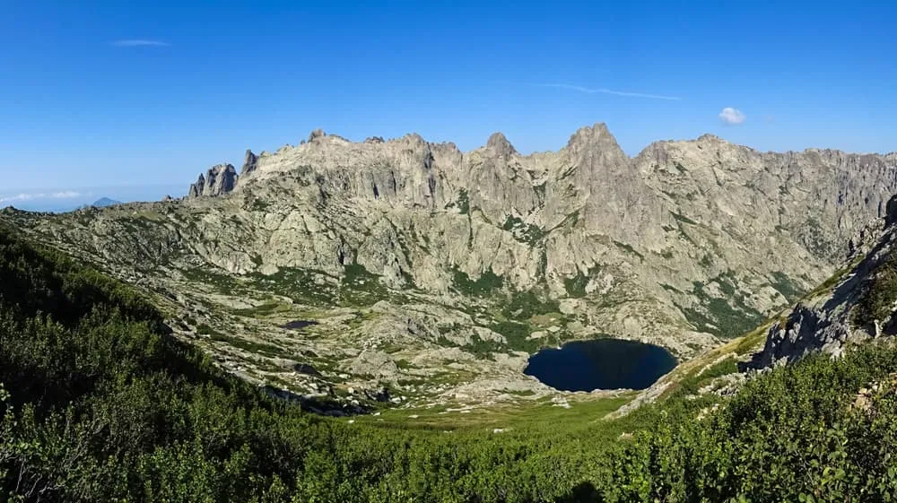
The Restonica valley above Corte is the island's most visited day-hike corridor. The path to Lac de Melo and then on to the higher Lac de Capitello climbs through Laricio pine forest and across open granite to two glacial lakes set in a dark cirque — the most photographed scene on the island. The trailhead road can be busy in high season and access is sometimes managed at peak times, so an early start pays dividends. The Bookatrekking app shows the weather forecast per stage so you can pick your day.

The Tavignano gorge, starting from Corte itself, follows a centuries-old mule track along the bottom of a spectacular granite gorge that feels entirely different from the open alpine scenery of the Restonica — enclosed, wild and quieter. It suits those who want a long valley walk rather than a lake summit.

The Aiguilles de Bavella in the south offer Corsica walking trails that are accessible from the Col de Bavella road and range from easy forest walks to the scramble to the Trou de la Bombe, a natural arch in the granite with views over the southern forests to the sea. The area is one of the most dramatic landscapes on the island.

The Cascades des Anglais on Monte d'Oro, reached easily from Vizzavona, offer a gentle forest walk with natural rock slides and clear pools — a favourite for families and those looking for a half-day beside water.

The Spelunca gorge between Ota and Évisa on the west coast is threaded by a Genoese mule path with old arched stone bridges. The walking is straightforward and the gorge scenery, framed by cork oak and chestnut, is exceptional.

Around the coast, the Sentier des Douaniers on Cap Corse follows the old customs officers' path along cliffs and headlands from village to village — a multi-day coastal walk that can also be done in day sections. The Agriates desert coast near Saint-Florent in the northwest gives access to wild beaches and scrubland that feel entirely remote despite being a short boat trip from town. In the far south, the cliff paths around Bonifacio look down from the white limestone citadel to the turquoise straits between Corsica and Sardinia.


How hard is hiking in Corsica, and who is it for?

Hiking Corsica honestly divides into two very different sports. The coast-to-coast and coastal routes — the Mare a Mare, the Mare e Monti, the Sentier des Douaniers — are moderate walking on good paths, suitable for anyone reasonably fit who can manage five to seven hours on their feet on consecutive days. No technical equipment is needed, and the staging through villages means you finish each day in a place with food, water and a proper bed.

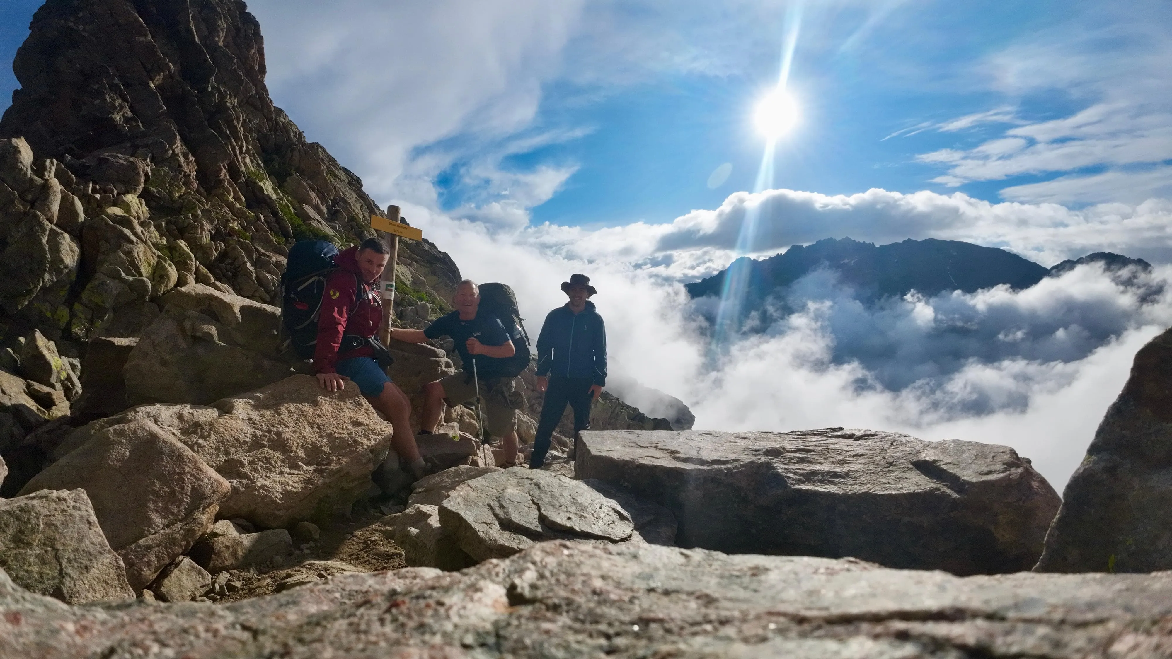
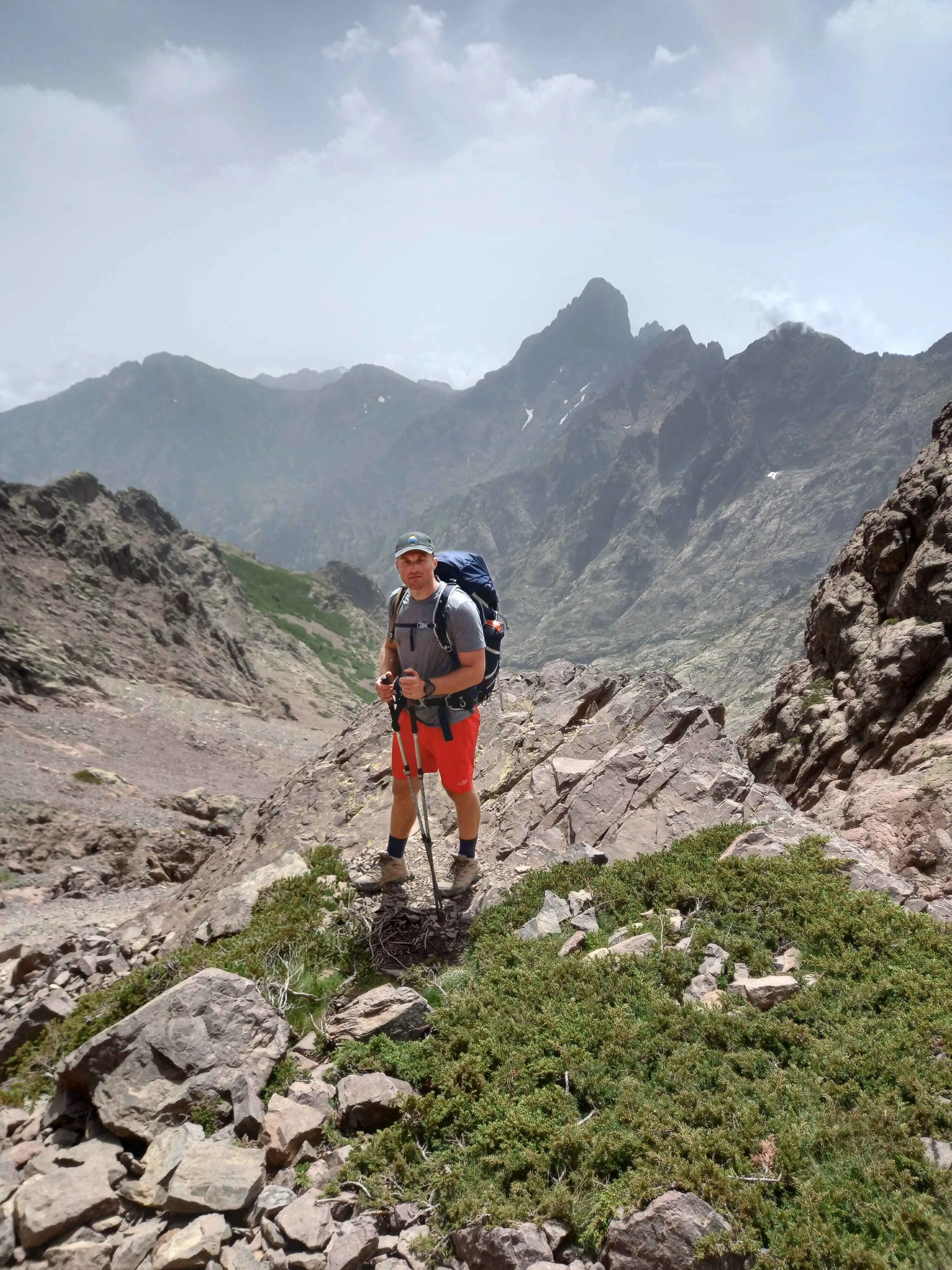
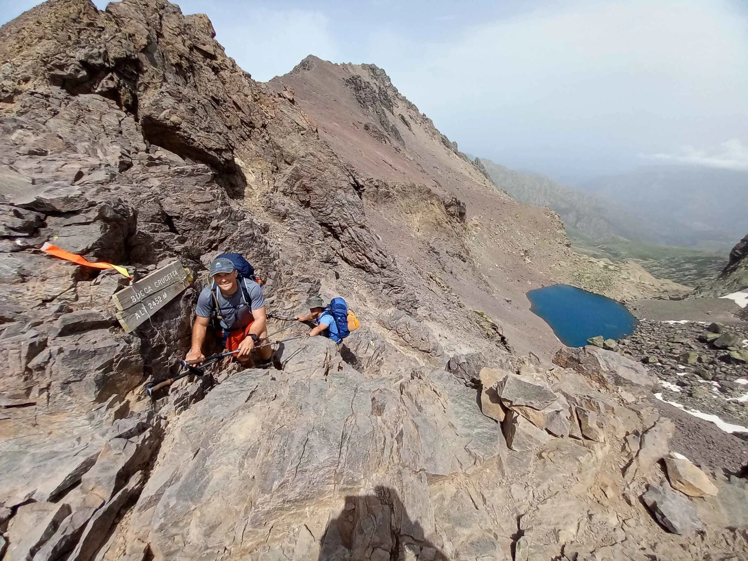
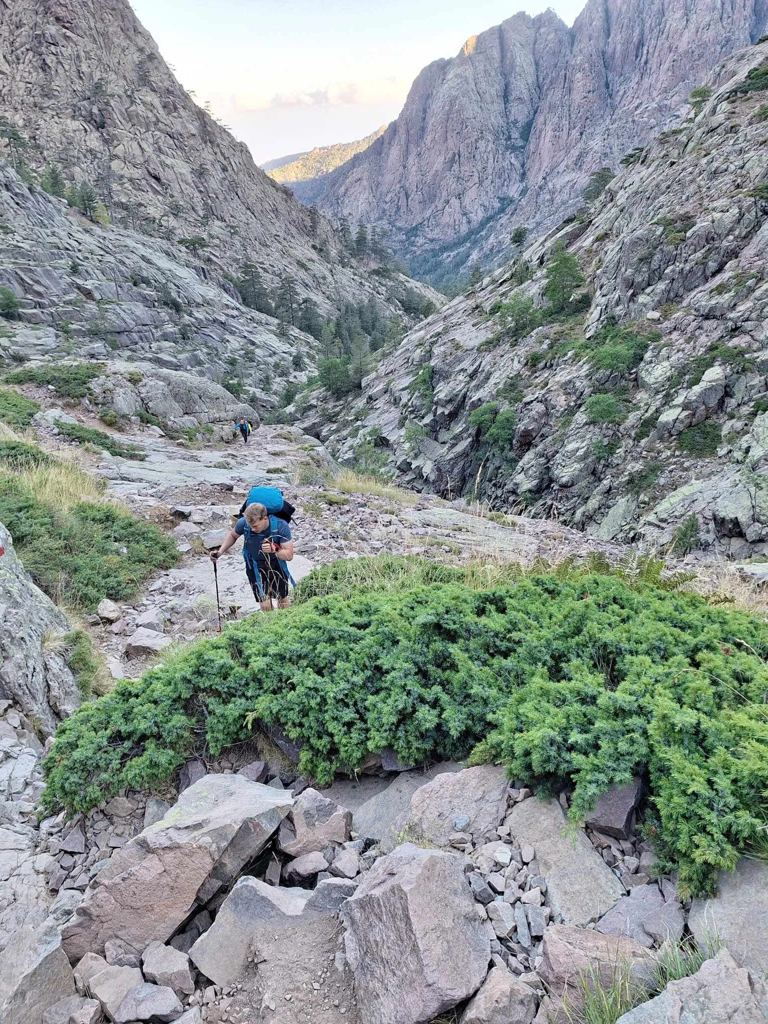
The high mountain route is a different proposition entirely. Sustained ascent and descent on granite slabs and boulders, hands-on scrambling sections, exposed ridges with fixed chains in places, and long days in the sun combine to make it one of Europe's genuinely demanding long-distance treks. Heat and water carrying matter as much as the climbing: low-altitude sections in July can be punishing even for strong walkers, while high passes in early season may carry ice. Boots with real ankle support and grip across wet granite, and trekking poles for the long descents, are essential rather than optional.

The decision of which world to enter should be honest rather than aspirational. If your longest previous hill days have been in Snowdonia or the Scottish Highlands, the coast-to-coast routes are likely the right fit and will still give you a week of beautiful walking. If you have spent time on alpine trails with significant scrambling and are comfortable in remote mountain environments, the high route delivers exactly what it promises.


The best time to go hiking in Corsica

Late May and June bring long days, snowmelt-fed rivers running fast and green, and hillsides covered in wild flowers. This is the best time for coast-to-coast and coastal routes. On the high mountain route, snow can linger into early June on the northern passes, so check conditions carefully for that option in late May. The Bookatrekking app shows a weather forecast linked to the coordinates of each stage, which is more useful than a general island forecast for planning high-ground days.

July and August are hot and busy. Mountain refuges fill up months in advance, the roads to popular trailheads are congested, and low-altitude walking in the heat of midday is uncomfortable. If this is the only window available, start every day before 8 am and aim to be in shade by noon.

September and early October are the quiet sweet spot. The sea is warm, the paths are emptying out, the light is clear and the weather stable. This is when hiking Corsica October searches spike — and with good reason. October is excellent for coastal walking and all the coast-to-coast routes, which remain in very good condition well into the month. On the high route, October is a different matter: refuges begin to wind down and close, weather can turn with little warning, and the days shorten quickly. It is still possible in the first two weeks of October for experienced and well-equipped walkers, but it requires careful planning and a realistic exit strategy. For most walkers, October is better spent on lower ground, where the island is at its most tranquil.


Where you sleep and what happens to your luggage

Accommodation for hiking in Corsica falls into three worlds depending on the route you choose.

On the high mountain route, you sleep in staffed mountain refuges run by the Parc naturel régional de Corse. These are dormitory-style, with mattresses and bunk beds, outdoor showers, and a simple set meal prepared by the hut warden. They are open from late spring to early autumn. Outside that window, the huts are unlocked but unmanned, with no food and no warden. Booking ahead is essential in summer: there are very few beds in the high mountains and they are claimed months in advance. Arranging this correctly is one of the most time-consuming parts of planning the high route solo — and it is exactly what Bookatrekking handles on your behalf.

On the coast-to-coast and coastal routes, you sleep in village gîtes d'étape — small dormitory guesthouses — or in family-run hotels, typically with half board where dinner and breakfast are served at the property. These are far easier to book and far more comfortable than the mountain refuges.

Luggage transfer depends entirely on the type of route. On village-based routes, your main bag can travel by road from one overnight stop to the next while you walk with a day pack. On the high mountain route between huts, there is no road access and no vehicle can reach you: you carry everything you need for the day. That is a significant difference in experience, and it is worth factoring into your choice of route before you book.


Which hiking in Corsica trip suits you — and what does it cost?

Route Days Best for Price
Petit GR20 4 days A first taste of the high route, or a short trip with limited time See the trip page
GR20 southern half 6 days The friendlier half, for fit walkers with a clear week See the trip page
GR20 full traverse 15 days The complete island traverse, for experienced mountain walkers See the trip page

A quick decision guide: if you have a week and want to cross the island through villages and enjoy the west coast, the Mare a Mare or Mare e Monti routes are the right fit. If you have four days and want to experience the high granite peaks without the full commitment, the Petit GR20 taster is built for you. If you have a fortnight, solid mountain experience and want to complete one of Europe's great long trails, the full traverse is the one.

On navigation: the GR20 and the island's main trails are waymarked with painted markers on the rock, but visibility drops quickly in cloud and junctions can be ambiguous on open granite. The Bookatrekking app gives you offline maps, the GPX track for your specific route and a weather forecast calibrated to the coordinates of each individual stage — not a general island forecast. This is genuinely useful in the mountains, where conditions on a 2,000 m pass can be completely different from what the valley village reports.

For the wider context of walking in the French mountains, our guide to hut-to-hut hiking in France covers the full network of routes, from Corsica to the Alps to the Pyrenees.


Frequently asked questions about hiking in Corsica

  • What is the most famous hiking trail in Corsica?

    The GR20 is the most famous trail in Corsica and is widely regarded as the toughest waymarked long-distance route in Europe. It runs the full length of the island's mountain spine from Calenzana in the northwest to Conca in the southeast. Our detailed GR20 guide covers stages, refuges and planning in full.

  • What are some of the best hikes in Corsica?

    The best hikes in Corsica include the Lac de Melo and Lac de Capitello circuit in the Restonica valley, the Tavignano gorge from Corte, the Aiguilles de Bavella area around the Col de Bavella, the Spelunca gorge near Évisa, and the coastal Sentier des Douaniers on Cap Corse. Each suits a different level of fitness and available time.

  • How difficult is the GR20 hike in Corsica?

    The GR20 is genuinely hard, rated among the most demanding waymarked treks in Europe. Expect sustained ascent and descent on granite slabs and boulders, scrambling sections with fixed chains, exposed ridges and long days in the sun. It is best suited to confident mountain walkers with multi-day alpine experience. See our GR20 route guide for a full difficulty breakdown.

  • How long does it take to walk the GR20?

    The full GR20 takes approximately 15 days to walk end to end. The northern half between Calenzana and Vizzavona and the southern half between Vizzavona and Conca can each be walked independently in around six to seven days. Shorter four-day options covering the first stages of the northern section are also possible for those with limited time.

  • What month is best to visit Corsica?

    Late June and September are the best months for most walkers. Late June combines long days, green hillsides and manageable temperatures before the July and August heat peaks. September brings stable weather, warm sea, quiet paths and the best light. May is excellent for lower routes, and early October is superb on the coast and coast-to-coast trails.

  • Is Corsica worth visiting in October?

    Yes, October is excellent for coastal walking, the Mare a Mare routes and day hikes at lower altitude, with warm, stable weather and almost no crowds. The high mountain route becomes genuinely risky in October as refuges wind down and weather deteriorates, but anyone walking the island's lower trails and coastline will find it one of the most rewarding months of the year.

  • Which UK airports fly directly to Corsica?

    London Gatwick has direct flights to Bastia operated by easyJet, currently on Saturdays and Tuesdays. Other UK airports including Birmingham typically connect via Paris Charles de Gaulle, Nice or Marseille. Direct routes from UK regional airports are limited and change seasonally, so check current availability when planning. Flying into Calvi or Figari may also suit depending on your route.

  • How do I get to Corsica from Ireland?

    There are no direct flights from Ireland to Corsica. The most practical connections are from Dublin to Paris Charles de Gaulle or Dublin to Nice, with an onward flight or ferry to the island. From Nice, ferries depart regularly for Ajaccio, Bastia and Calvi. Flying via London Gatwick to Bastia is another option for Irish travellers.

Packing List for the GR20

It doesn't matter where you are trekking or for how long: carrying the right equipment with you is paramount. For a hiking trip in the mountains, a good is backpack essential. Its size will depend on how many days you will be spending in the mountains, the season, and the clothes you will be taking with you. We have prepared a packing list with some essential clothing that you should include and some extras that you may find useful:
  • Essentials

  • Extras

Safe Hiking Tips for the GR20

When hiking, it is wise to be aware of a few points. Even if this is not your first time, you should never underestimate the mountains. Good tour planning and compliance with the regulations in the mountains will significantly increase safety. To ensure that your hiking adventure is a safe and enjoyable experience, here below you can find a list of 8 recommendations for safe hiking in the mountains:
  • Know your limits

    Hiking the GR20 is the perfect outlet to escape from daily life. It is an endurance sport along with a beautiful nature experience with a positive effect on body and mind —as long as one is in good shape and has a realistic picture of one's possibilities and limits—. Never overestimate yourself or underestimate the route. Don't overdo it! Always choose the slower option and take more time for your plans. Hiking under time pressure is not fun and at too fast a pace it can be dangerous. Be wise!

  • Plan carefully

    Good planning is half the work! Hiking maps, literature, the Internet and expert advice are invaluable when planning the route of the GR20 and enable you to determine the length, altitude difference, difficulty and conditions of the hike. When planning group treks, the itinerary should always be planned for the weakest member of the group! The weather in the mountains can change incredibly quickly and rain, wind and cold all increase the risk factor. For this reason, always check the weather forecast beforehand and contact our trekking experts to find your way before you start.

  • Be fully equipped

    Equipment is everything. In the most extreme case, it makes the difference between life and death, and in any case, it definitely makes the difference between having fun and having a bad time. Food and water, sunscreen and waterproof and warm clothes must always be in your backpack, as well as a first aid kit and a mobile phone with a full battery (in case there is an emergency). However, packing light makes hiking easier, so don't take too much extra luggage with you. Your equipment should always be suitable for the terrain you'll be hiking on in the GR20.

  • Wear suitable footwear

    Good walking shoes protect your feet and provide a better fit. Shoes with a good fit, with non-slip soles, water-resistant and lightweight are a must for additional walking pleasure during the GR20. Trail running shoes are great for a weekend in the mountains, but on longer hikes or more technical trails, you'll want at least A/B hiking boots. That means it is recommended wearing high mountain shoes that are water-repellent with extra ankle support to prevent sprains.

  • Stay on marked trails

    GR20 has endless marked hiking trails, which are controlled and maintained and should not be deviated from. It may be tempting, but it's not a good idea to take shortcuts or alternative routes through unmarked terrain. It increases the risk of disorientation and you're more likely to get lost and have accidents or fall in the mountains. Even steep slopes of packed old snow are often underestimated and dangerous. Are you in doubt? Better don't do it. For easy navigation we work with our trusted partner Komoot, whose interactive maps, also available offline, provide you with the necessary digital means to get from A to B. As a backup, make sure to bring a hiking guide or a paper map with you. FYI, 75% of stumbles occur due to carelessness on marked paths or roads, not in open terrain!

  • Take regular breaks

    Remember you're on a hiking trip. Timely and regular breaks not only provide welcome relaxation but also make it possible to enjoy the GR20. The body needs a regular food and drink intake to maintain performance and concentration. Our advice is that if you have little time, it's better to follow the short itinerary than to speed up the long one.

  • Stay reachable

    If you are hiking solo or in small groups it is advisable to inform people back home about your plans, what route you are taking and when you plan to return. Even small incidents can lead to unpleasant emergencies so make sure you are available at all times. Bring a charged phone containing at least the phone numbers of immediate family members, your accommodations en route and the emergency phone numbers operating on the GR20.

  • Respect nature

    Leave no rubbish behind, prevent noise, stay on the marked trails, do not disturb wildlife or grazing animals, and respect protected areas.

Where Can I Book the GR20?

At Bookatrekking.com you can book the self-guided GR20 and many other treks. We take care of all the details for you, including arranging accommodations and providing you with relevant information well in advance of your trek. Find our offers here. Our easy-to-use platform allows you to browse and compare different trekking options and to find the perfect fit for your interests, abilities, and budget.

If you have any questions about a specific trek or need help choosing the right one for you, our team of trekking experts is here to assist you. Simply reach out to us and we will be happy to provide you with personalized recommendations and advice to help you plan the trekking adventure of a lifetime.

About Us

At Bookatrekking.com, you will find the trek that will make your life unforgettable. Whether you want to explore the Inca Trail or climb Kilimanjaro. Bookatrekking.com has a wide and varied range of first-class treks. No false promises are made here. Transparent prices and bookings are fixed instantly. Find, compare, book and trek!
Read more about us
About Us
About Us