Alta Via 1 - 7 days

Duration: 7 days
Trails: T3 trails
Distance: 10 - 15 km / 6 - 9 mi per day
Ascent per day: 500 - 1000 m / 1640 - 3281 ft ascent per day

> Experience a 7-day adventure on the Alta Via 1, hiking from Lago di Braies to Agordo.
> Spend the night in cozy Italian Rifugios
> Bookatrekking.com arranges all the huts along the way


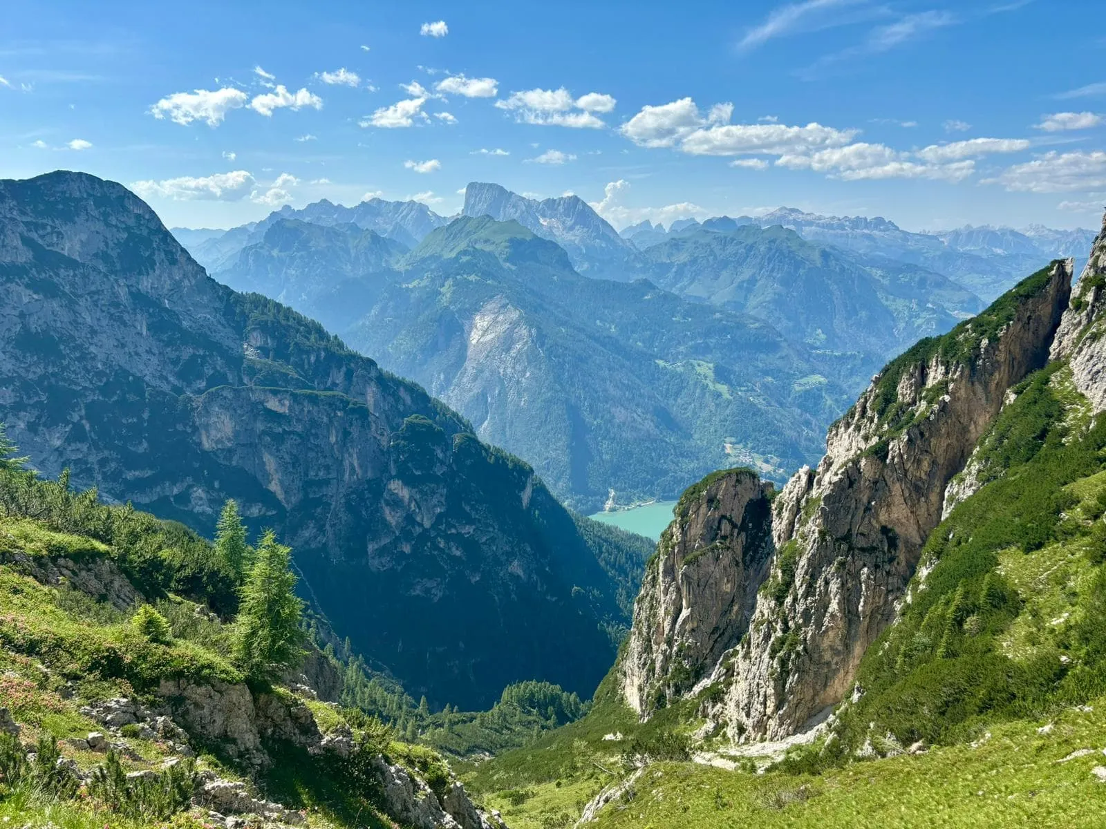
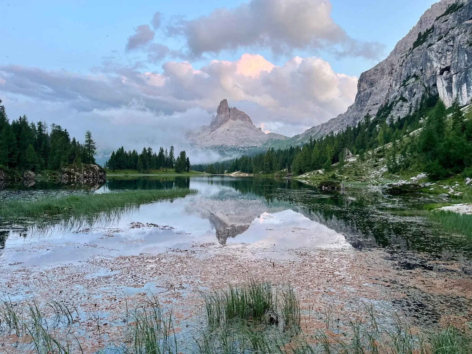
The Alta Via 1, also known as the Dolomite High Route 1, is one of Italy's most famous trekking trails and is the easiest and most popular of the high routes that go through the Dolomites. The Dolomites are located in north-eastern Italy and stretch throughout the provinces of Belluno, South Tyrol, and Trentino.

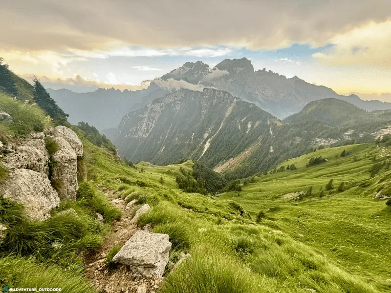
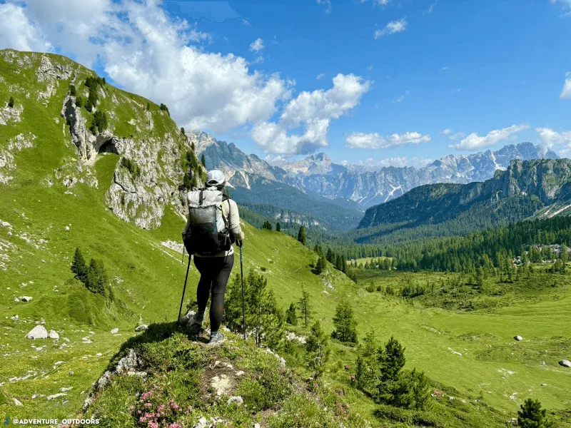
During this 7-day adventure you will hike the Alta Via 1, from Lago di Braies to Agordo. Along the way, you'll spend the entire day exploring the breathtaking Dolomites. You will spend the night in atmospheric and hospitable mountain huts, also called rifugios. Here you can enjoy delicious Italian dishes and meet many other hikers. Bookatrekking.com makes sure that your huts are booked including dinner and breakfast. The only thing left for you to do is to enjoy the beautiful trails on the Alta Via 1.

Itinerary

Day
1

Lago di Braies - Rifugio Pederü

Duration: 06:00 h
Distance: 14.3 km / 8.9 mi
Ascent: 920 m / 3018 ft
Descent: 830 m / 2723 ft
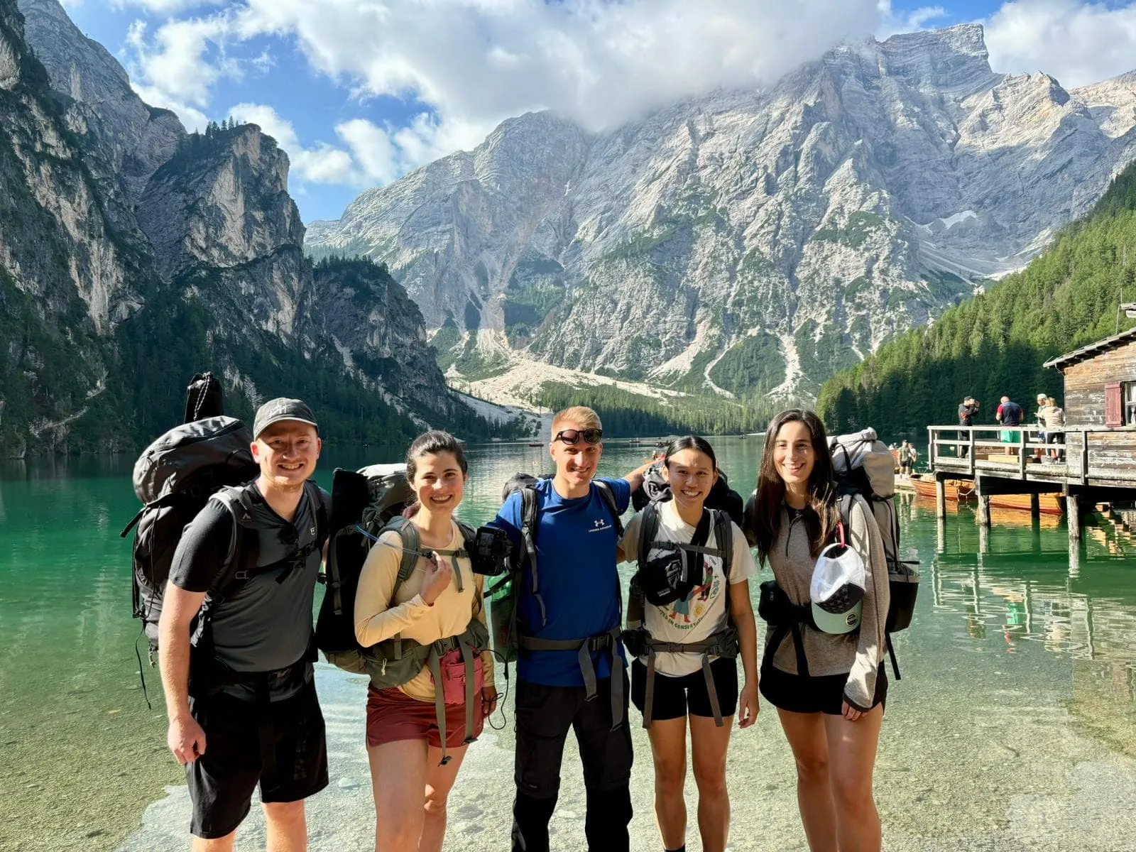
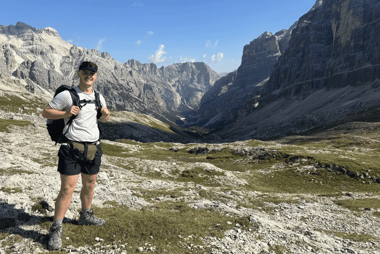
The first stage starts at the beautiful Alpine lake Lago di Braies, surrounded by towering mountain peaks and pine forests. It starts with a steady climb to the first pass Forcella Sora Forno. On this part of the route you encounter several steep rock faces which you cross via short but exciting zigzag routes using cables. At the pass you enter the Dolomiti National Park. The Panorama of the wide, expansive pass is vast and breathtaking, including views of the peaks of the northern Dolomites, as well as the peaks of Marmolada and Tofane. You then begin a steep descent into the rocky valley with fascinating orange rock walls, the last part of the stage consists of a final long downhill section.

Rifugio Pederü

Info
Rifugio Pederü
Rifugio Pederü
Day
2

Rifugio Pederü - Rifugio Lagazuoi

Duration: 07:45 h
Distance: 17.5 km / 10.9 mi
Ascent: 1540 m / 5052 ft
Descent: 420 m / 1378 ft
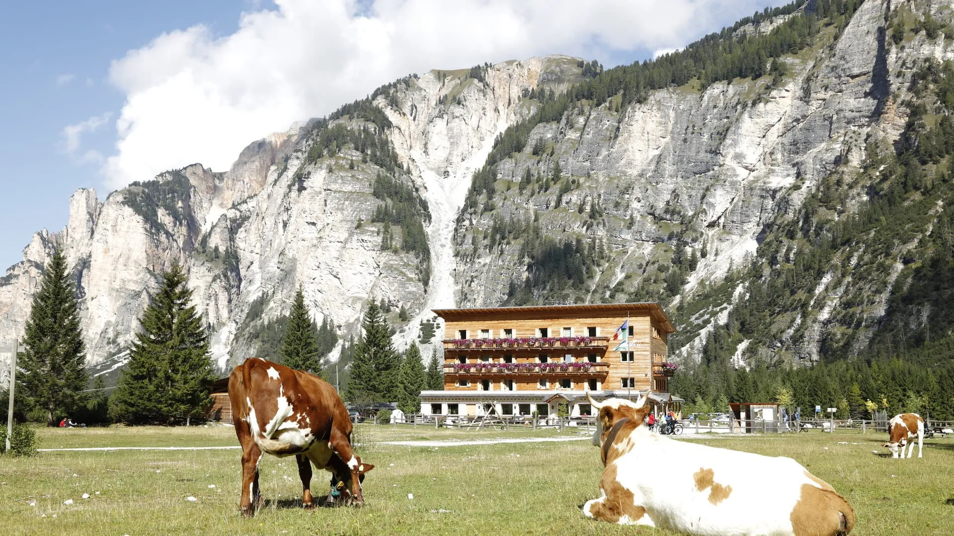
On this stage, the real highlights of the trip begin when you reach the Cortina d'Ampezzo Valley, cross one of the most exciting passes of the entire trip, and reach the pinnacle of the trip: the summit of Lagazuoi. The stage begins through idyllic meadows, streams, and rolling stone pastures and becomes rockier and more exciting. As the day progresses, the trail heads toward the Forcella Del Lago pass. From the top of the pass, you are faced with a steep descent. Eventually, you will be rewarded with a beautiful view of the picturesque Lago di Lagazuoi. You round off the stage with the steep climb to the top of Mount Lagazuoi. At the top, you reach the busy Rifugio Lagazuoi with one of the most beautiful panoramas of the entire Dolomites.

Rifugio Lagazuoi

Info
Rifugio Lagazuoi
Rifugio Lagazuoi
Day
3

Rifugio Lagazuoi - Rifugio Scoiattoli

Duration: 03:45 h
Distance: 8.9 km / 5.5 mi
Ascent: 370 m / 1214 ft
Descent: 780 m / 2559 ft
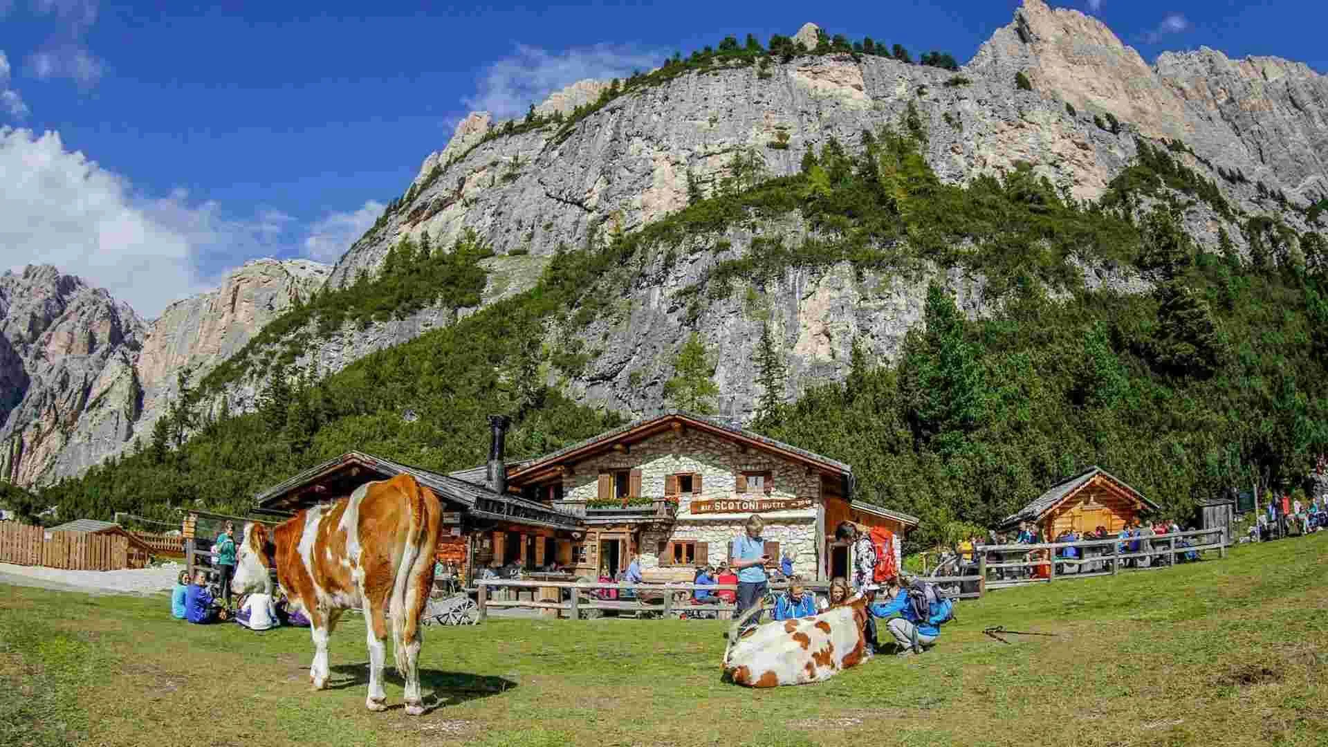
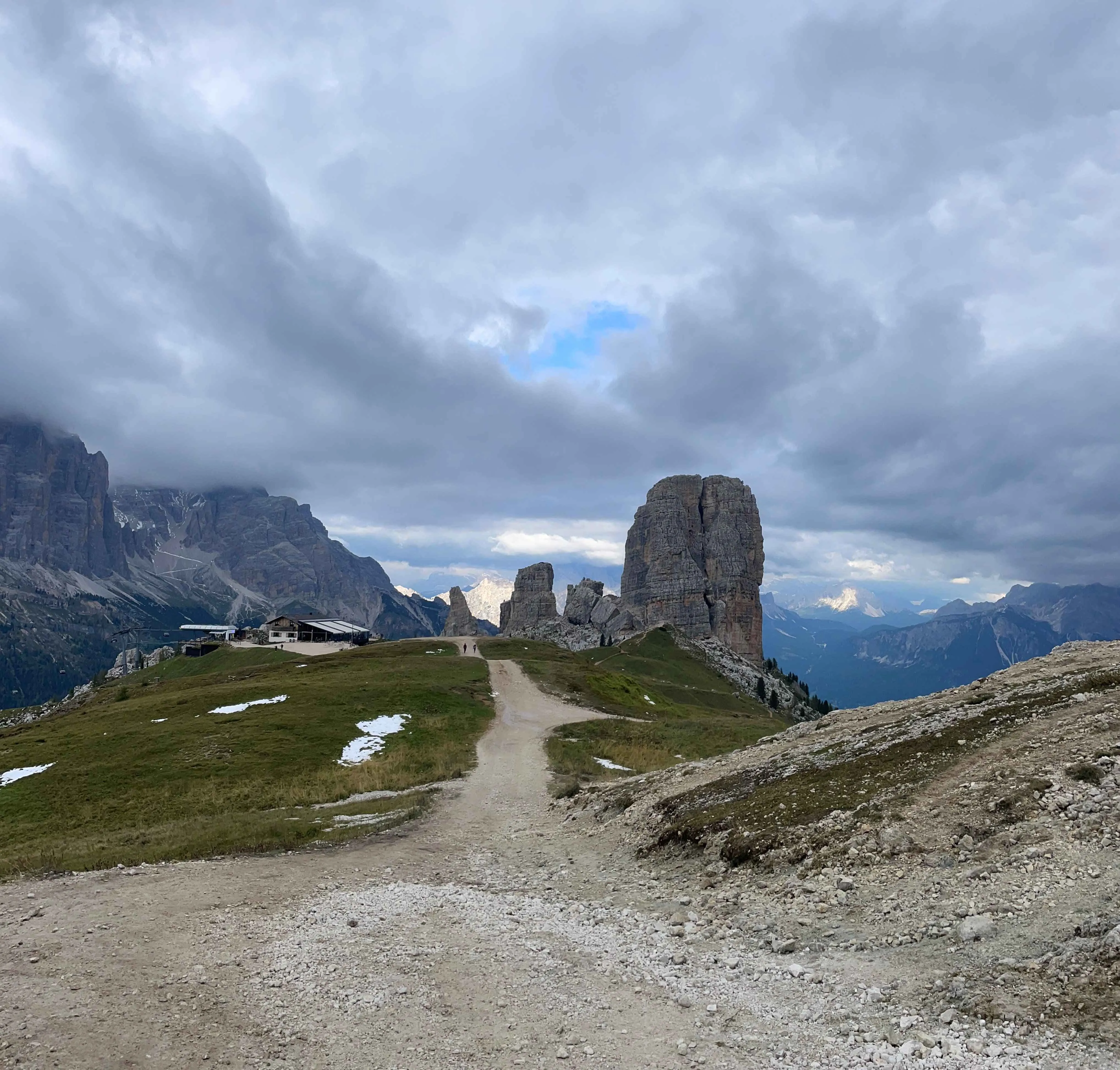
This stage takes you to the heart of the Cortina Valley: Cinque Torri, perhaps the most beautiful and spectacular spot of the entire trip. Today the Alta Via 1 briefly descends into the valley before making the climb to Nuvolau. Along the way you'll pass the fascinating and famous Cinque Torri area, the center for rock climbing, and well worth a detour to explore the “five-rock towers. You'll spend the night at Rifugio Scoiattoli but you'll want to experience sunset at the adjacent Rifugio Nuvolau, the recently renovated rifugio built on a spire and offering a 360-degree panorama.

Rifugio Scoiattoli

Info
Rifugio Scoiattoli
Rifugio Scoiattoli
Day
4

Rifugio Scoiattoli - Rifugio Passo Staulanza

Duration: 06:40 h
Distance: 16.6 km / 10.3 mi
Ascent: 580 m / 1903 ft
Descent: 1040 m / 3412 ft

The stage begins with the most technically challenging and exposed part of the entire route: a series of via ferrata paths with cables and ladders descending from Nuvolau into the valley. This section is thrilling but short. If you follow our route, you’ll pass by this via ferrata but won’t actually use it. You will, however, encounter a section with ladders and fixed cables to hold on to. These kinds of cables are common along the route; they are there for extra support and do not require any special equipment.

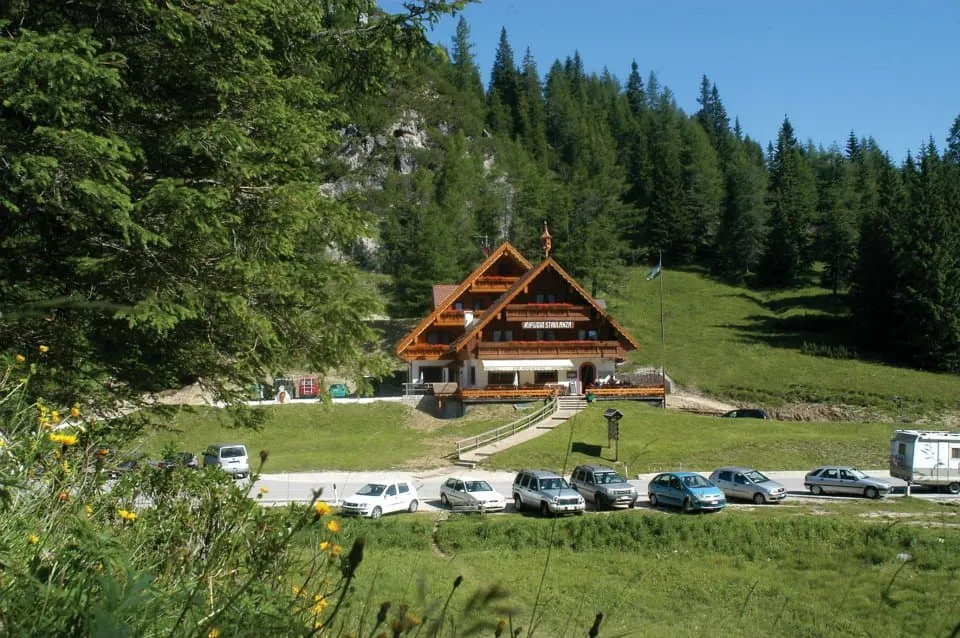
Then you descend the rest of the way to a mountain pass near the valley where you start climbing again, to the pass of Forcella Ambrizzola. As you cross this pass, the impressive Monte Pelmo looms in the background. Here you descend through stretches of forest until Monte Pelmo, also known as the Throne of the Gods, suddenly comes incredibly close. You continue past Rifugio Città di Fume to the Staulanza pass where you find the cozy Rifugio Passo Staulanza.

Rifugio Passo Staulanza

Info
Rifugio Passo Staulanza
Day
5

Rifugio Passo Staulanza - Rifugio Vazzoler

Duration: 05:25 h
Distance: 16.3 km / 10.1 mi
Ascent: 900 m / 2953 ft
Descent: 970 m / 3182 ft
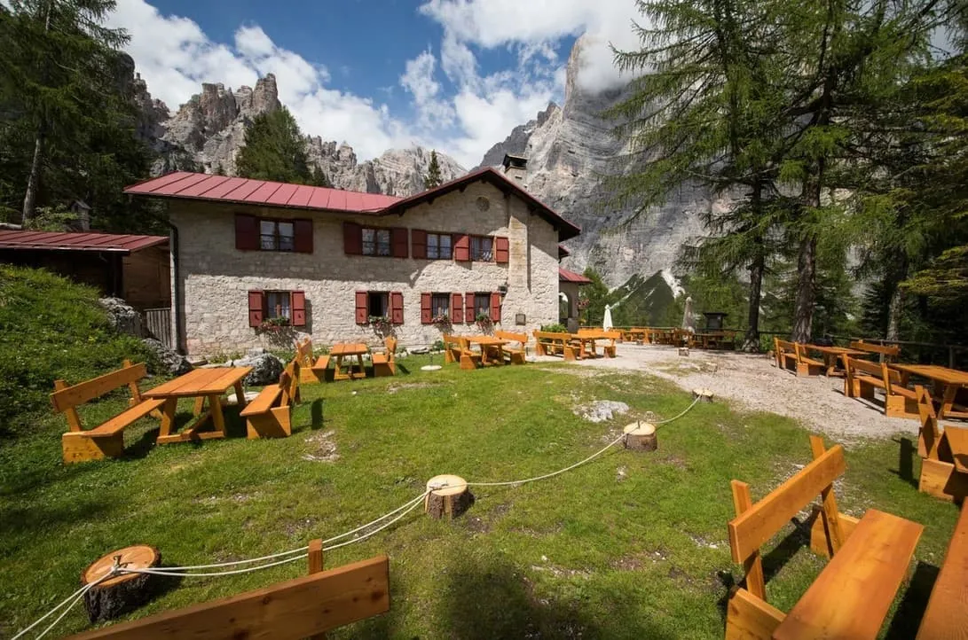
Today you will make a long steep ascent past Rifugio Coldai where you will enter the surroundings of Monte Civetta. Along the way you will enjoy some of the best views of the magnificent massive Pelmo that towers high above the valley from Rifugio Coldai. Continue on to the beautiful Lago Coldai. You can take a break at Rifugio Tissi, a popular rifugio on the Alta Via 1, but the goal for today is Rifugio Vazzoler, on the south side of Punta de Gasperi.

Rifugio Vazzoler

Info
Rifugio Vazzoler
Rifugio Vazzoler
Day
6

Rifugio Vazzoler - Rifugio Carestiato

Duration: 05:15 h
Distance: 9.19 km / 5.7 mi
Ascent: 640 m / 2100 ft
Descent: 540 m / 1772 ft
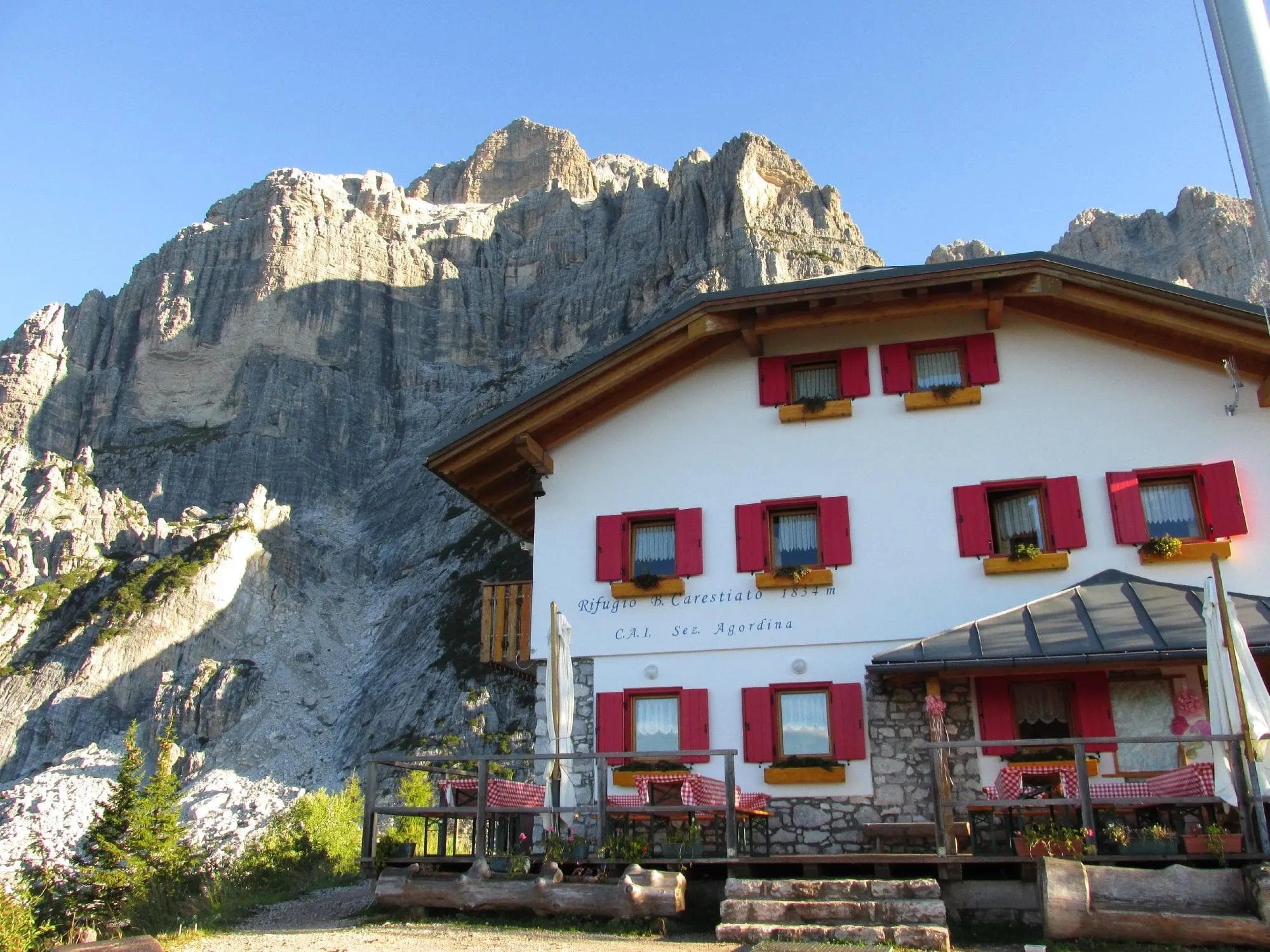
From Rifugio Vazzoler you will descend gently through meadows across from the phenomenal Monte Civetta as you round the southernmost corner of the Civetta. From here you will begin a steady climb approaching the thrilling pass of Col de l'Ors. After this follows a brief short climb to Forcella del Camp. You descend and traverse through large hoods and scree before reaching Rifugio Carestiato.

Rifugio Carestiato

Info
Rifugio Carestiato
Rifugio Carestiato
Day
7

Rifugio Carestiato - Agordo

Duration: 02:50 h
Distance: 9.93 km / 6.2 mi
Ascent: 20 m / 66 ft
Descent: 1200 m / 3937 ft
Today marks the final stage of your Alta Via 1 adventure. From Rifugio Carestiato, you’ll begin your descent along path 548, leaving the high alpine terrain behind as you make your way down to Agordo. In just a few hours, the rugged mountain trails will give way to the valley, where your journey comes to an end. After days of breathtaking landscapes, challenging trails, and unforgettable rifugio nights, it’s time to celebrate—preferably with a well-earned birra in hand. You did it!

Included

  • Full travel guide

    You’ll receive access to our trekking app, which serves as your complete digital travel guide for the Alta Via 1. Inside, you’ll find everything you need for your trek: route descriptions, hiking maps, navigation support, payment information, and all the key details specific to your journey.

  • Accommodation

    During your Alta Via 1, you will spend your nights in mountain huts. In the mountain huts we normally only book dormitories, but we can look into private rooms on request. If the private rooms are fully booked or not available in the hut, we automatically book a bed in dormitories for you. Please note that private rooms are more expensive and there will be an additional charge for this.

  • Half-board in Huts

    Accommodation at the huts includes dinner and breakfast. We will arrange this for you as well. This allows you to travel lighter and have one less thing to worry about. Bear in mind that lunch is not included, but it can be purchased at the huts. Here you can also buy an array of snacks and bottled water.

  • Navigation support

    Our trekking app also includes built-in navigation support. With GPS-based maps and offline access, you can follow the trail confidently and stay on route even without mobile signal.

Excluded

  • Traveling to and from

    You have to make your own way to the starting point. The total amount does not include personal transport.

  • Transfers

    Should you need any form of (public) transport on location, this is not part of the trekking package. This includes the use of taxi, bus, cable cars, gondolas, ferries, etc.

  • Lunch

    Half-board is included in the price of this trek. Lunch, however, is not. You can get something to eat at the mountain huts along the way.

  • Travel Insurance

    Your international travel insurance is your own responsibility. Discuss your itinerary with the insurance company before your trek.

  • Personal expenses

    Personal expenses on such as souvenirs, drinks, and other similar expenses are for your own account.

FAQ

  • Difficulty of the Alta Via 1: Is This Trek Right for Me?

  • When Is the Best Season to Hike the Alta Via 1 in the Dolomites?

  • How to Get To the Starting Point of the Alta via 1

  • How to Get From the Endpoint Back to Cortina D’Ampezzo

  • What if the dates I want are not available?

  • If I book now, can I immediately arrange the rest of my trip?

  • How do I know if this trek is right for me?

How to Book

  • Booking

  • Availability

  • Cancellation policy

Reviews

Reviews