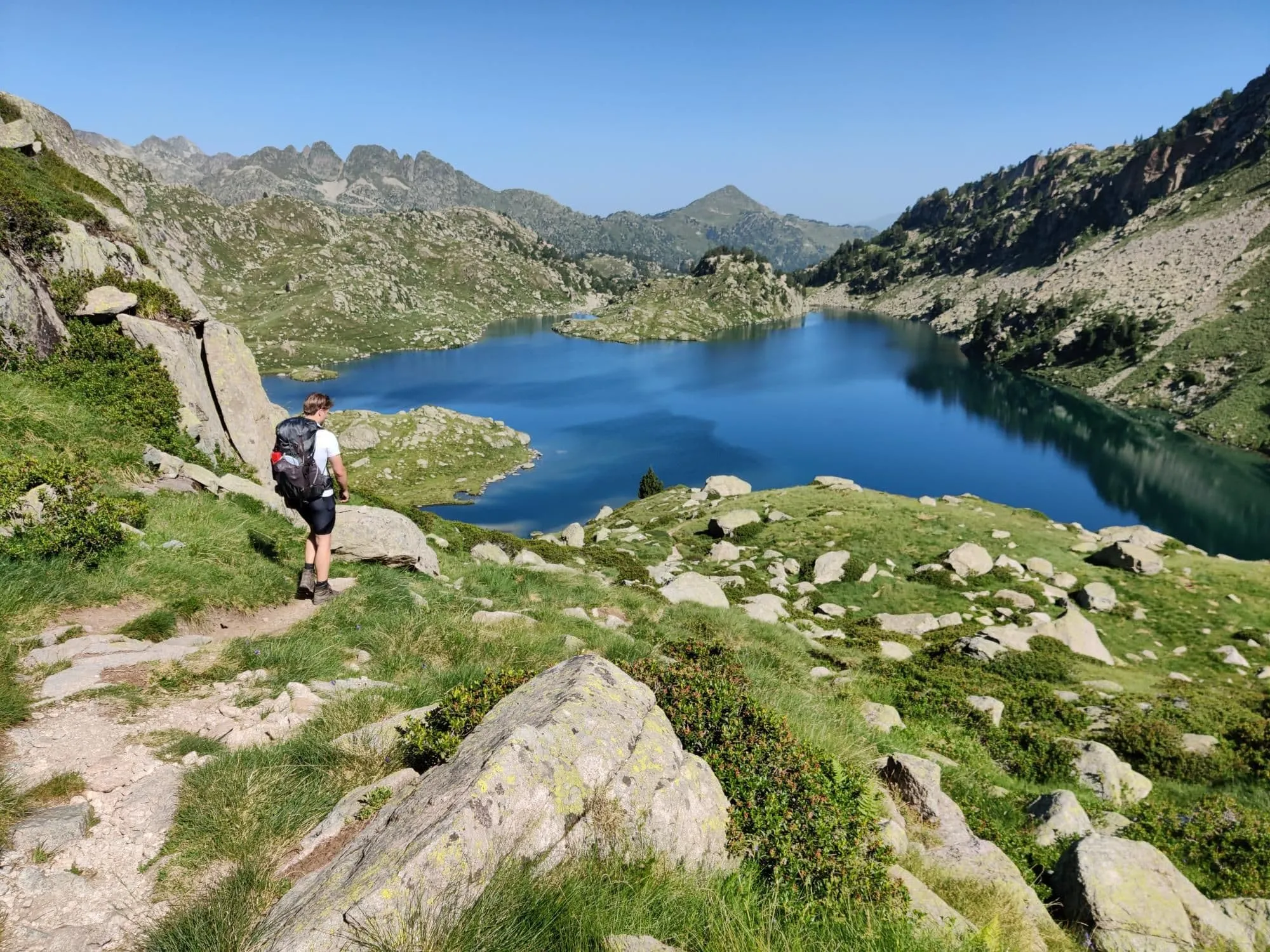
6-Day Carros de Foc Trek From Hut to Hut

  • Duration
    Total 6 days
    Average 4h 42min
  • Distance
    Total 64.3 km
    Average 10.7 km
  • Ascent
    Total +3730 m
    Average +622 m
  • Descent
    Total -3730 m
    Average -746 m

> Enjoy the Catalonian Pyrenees and walk from hut to hut
> Spend your nights in cozy mountain huts
> Cover over 65 kilometres on a demanding high mountain route with rocky and technical sections

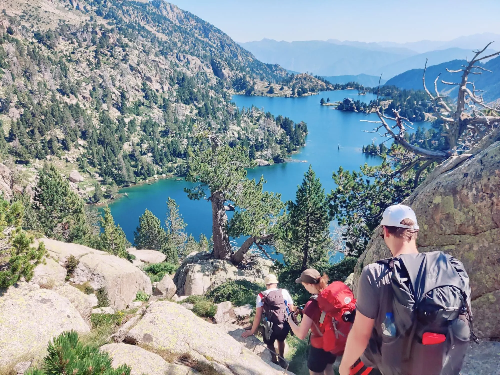
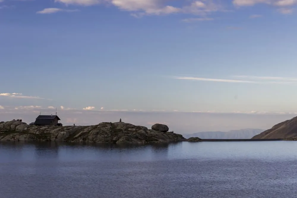
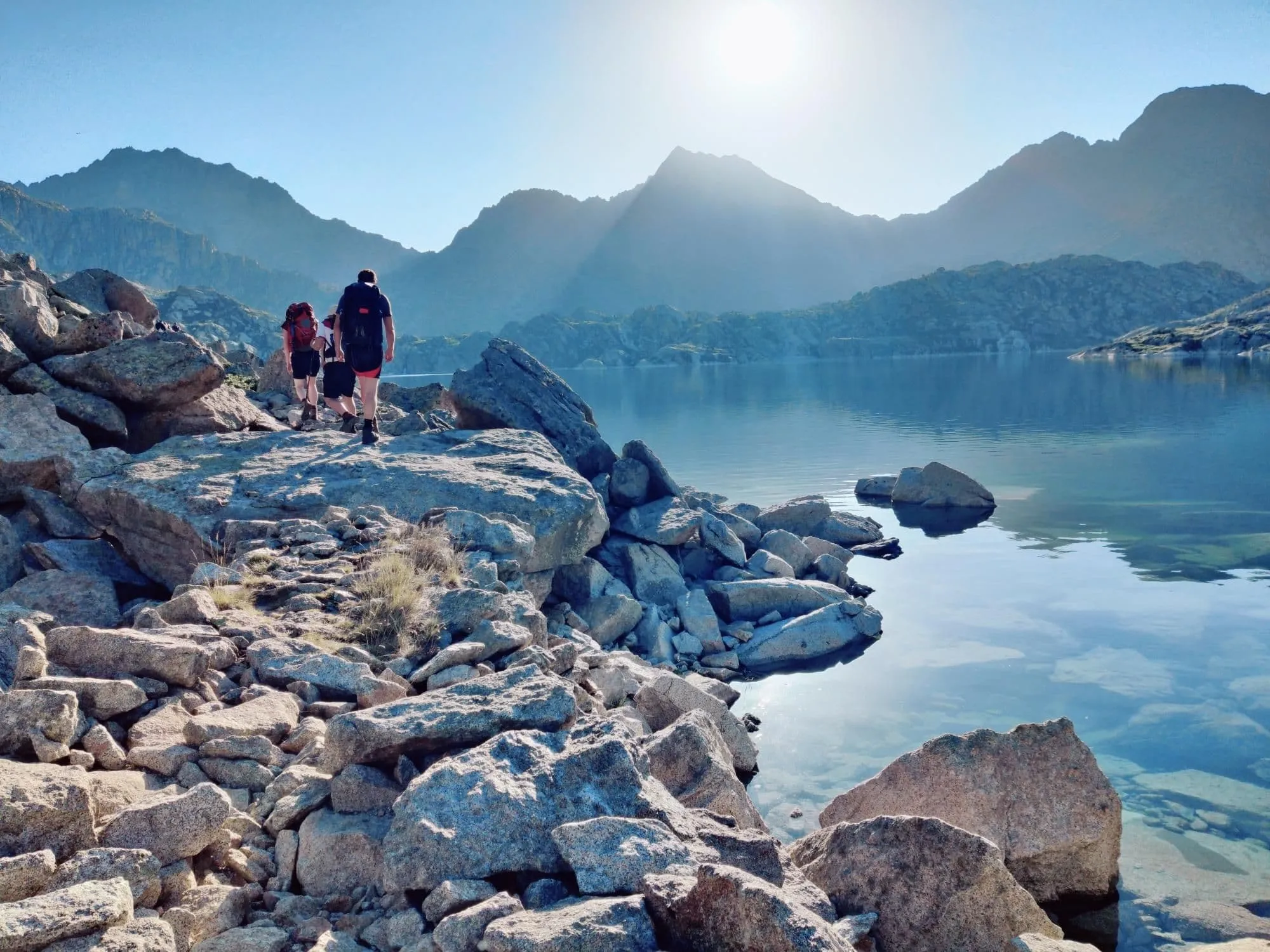
There are a lot of opportunities for hiking in the Spanish Pyrenees, but does it get any better than the Carros de Foc? To be fair, it's also one of the best-known multi-day hut-to-hut hikes in the area. Rather obvious, because with 65 kilometers, over 3,500 meters of elevation gain, and 9 welcoming huts, an epic adventure awaits you on the Carros de Foc. This is not a simple hut-to-hut walk: several stages include steep climbs, long descents, rocky terrain and sections where sure-footedness is essential. Hiking in, quite a mouthful, Parc Nacional d'Aigüestortes i Estany de Sant Maurici doesn't get any better than this. Are you ready to discover the wild and adventurous side of Catalonia?

Carros de Foc is Catalan for Chariots of Fire and although no one knows why the trek carries this curious name, we dig it. The route was created in 1987 when the caretakers of the refuges in Aigüestortes i Estany de Sant Maurici Park decided to visit each other's huts, resulting in a beautiful circular hike, connecting all the mountain huts, "Refugi" in Catalan, in the area.

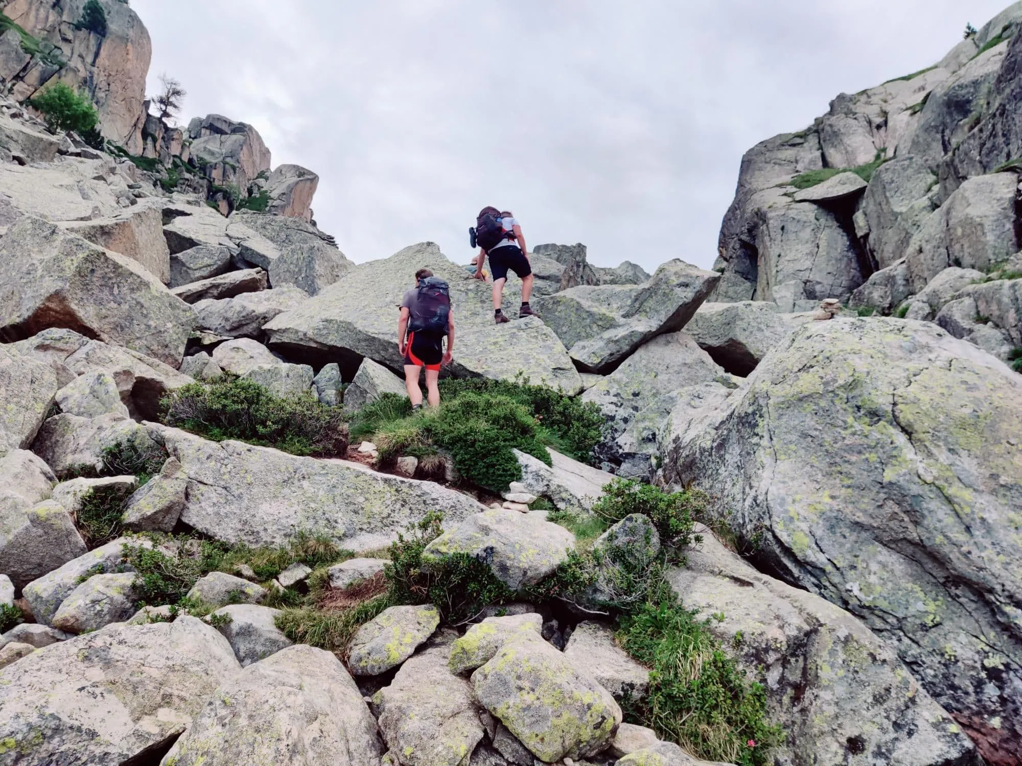
This 6-day version is best described as an intermediate hike with a kick. Most of the route follows T2 terrain, with mountain paths that are clear enough to follow but still uneven and rocky in places. There is also an occasional T4 section, where the terrain becomes steeper, rougher and more technical. This trek is suited to intermediate hikers who are not afraid of a challenge and who can stay focused on difficult ground. In return, you get high mountain passes, lake-filled valleys and some of the most beautiful views in the Catalonian Pyrenees.

Itinerary

Day
1

Espot - Refugi d'Amitges

Duration: 04:20 h
Distance: 11.8 km
Ascent: 1040 m

This stage is one long climb, gaining 1,030 m from the start to the hut with no meaningful descent. The first section follows an asphalted road before the route continues onto forest paths. If you want to make the start a little easier, you can shorten the first kilometres by taking a taxi. The first part feels controlled and steady, with easier ground through the forest and a gradual rise that lets you find your rhythm. The highest point is reached near 2,340 m, so treat this as a demanding climb rather than a warm-up. The character of the route changes clearly as you go higher.

After the asphalted start, you continue on relatively easy forest paths, gaining height without much technical difficulty underfoot. After about 4.8 km, the trail changes to boardwalks and bridge sections, giving the route a different feel while the climb continues. At around 7.5 km, you reach the first lake. Follow the water for roughly 800 m and take your time here, especially if the surface is calm enough for reflections across the lake.

After about 8.3 km, the route bends right and the climb becomes more serious. Boardwalks return, but the terrain gradually turns rougher, rockier and more uneven, so sturdy footing matters. Around Lake Ratera, the route eases for a while, giving you space to slow down and enjoy the view. Beyond the lake, a steeper section leads past two small sister lakes before the final approach opens into broader mountain terrain.

The last stretch to the hut feels more remote, with open ground, wide views and continued rocky terrain underfoot. Arrive steadily rather than rushing the final climb, then settle in at the mountain hut after a full uphill effort.

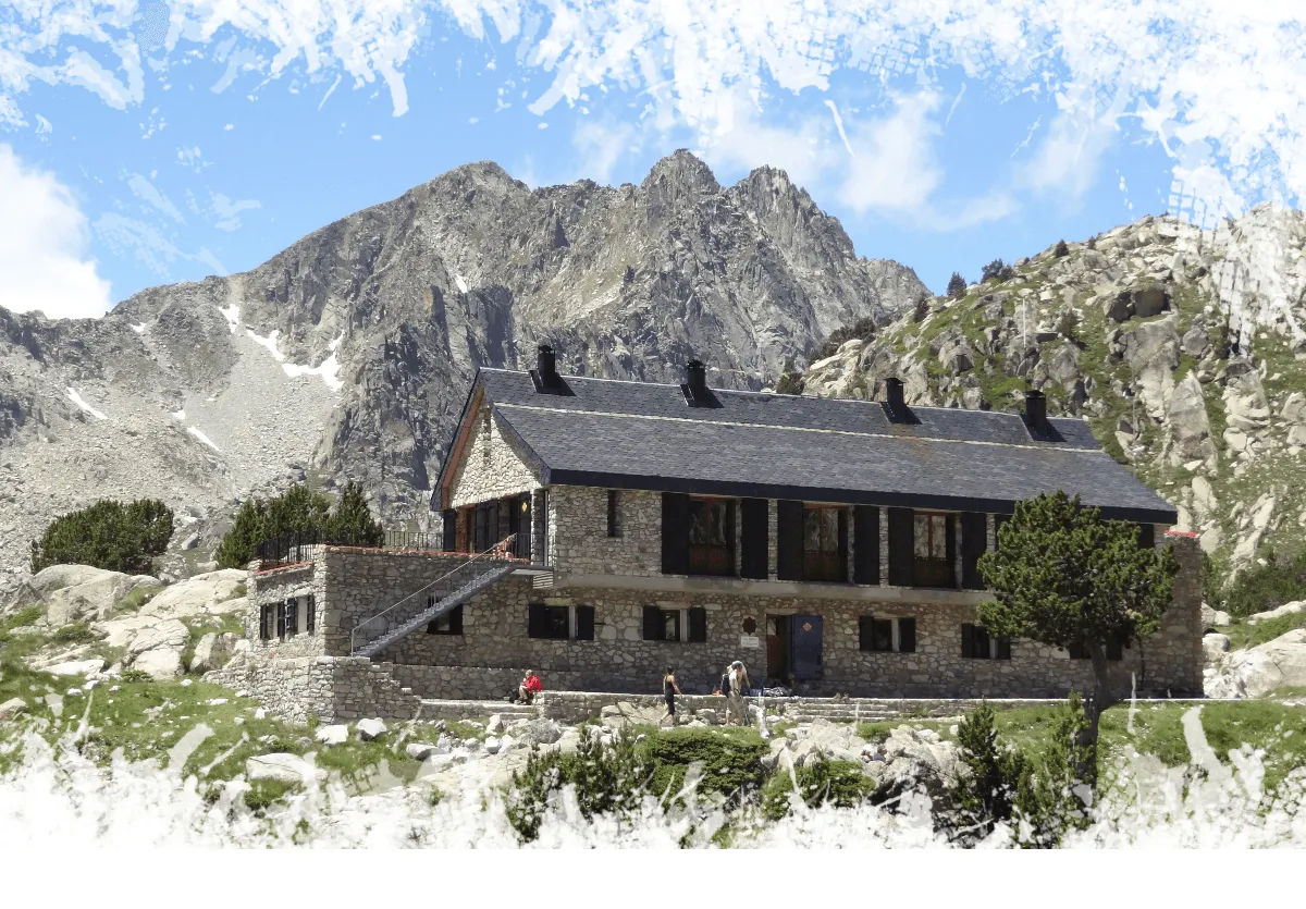
Refugi d'Amitges

Info
Refugi d'Amitges
Refugi d'Amitges
Day
2

Refugi d'Amitges - Refugi Colomèrs

Duration: 04:45 h
Distance: 10.7 km
Ascent: 520 m
Descent: 740 m

You continue across the same broad, open terrain as the previous section, moving over rocky ground and occasional rubble fields. Our app is useful here, especially where the path is less obvious among stones and slabs. After about 2.8 km, a small lake makes a good place for a short break. From there, keep right and begin descending into a wide, almost moonlike landscape that feels remote and quiet.

Near Lago de Naut, the descent becomes more hands-on, with a short scrambling section where you may need to use your hands for balance. After this, the route gives you an easier stretch, with around 2 km of flatter walking and very little climbing or descending. After a total of about 5.1 km, you pass Saboredo Regue in the middle of this flatter valley before the path starts climbing again towards Tuc Gran de Sedrosa.

The route does not go all the way to Tuc Gran de Sedrosa, but after the climb the descent becomes slightly more technical again. Prepare for a short T3 section. The final kilometres lead past a few more beautiful mountain lakes and across the rocky, uneven terrain that you have likely grown accustomed to over the past two days on the Carros de Foc. Before long, you arrive at your next mountain refuge, Refugi Colomèrs, located next to Lake Colomèrs.

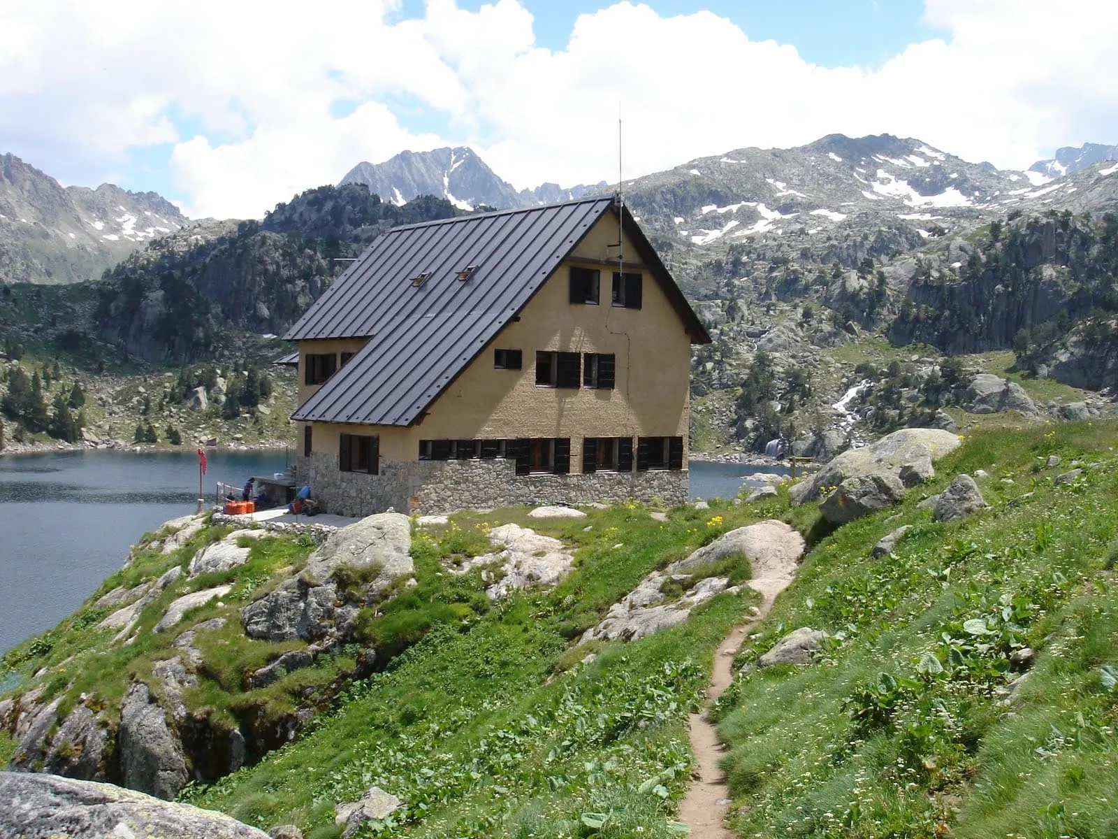
Refugi Colomèrs

Info
Refugi Colomèrs
Refugi Colomèrs
Day
3

Refugi Colomers - Refugi Ventosa i Cavell

Duration: 03:40 h
Distance: 7.9 km
Ascent: 520 m
Descent: 460 m

You start directly from the lake with a steady climb that gradually becomes steeper. It is worth looking back early on for the panorama behind you before the route turns rougher. With 520 m of ascent over a relatively short distance, this is a compact but active mountain stage. The path moves from greener surroundings into a higher, rockier landscape, where the walking becomes more uneven and you need to keep your rhythm.

After around 3 km, you reach the highest point of the route close to Tuc deth Cap deth Pòrt de Caldes. This is a good place to pause briefly before starting the descent. The open, stony terrain gives the stage a more lunar feel here, with less vegetation and rough ground underfoot. About a kilometre after the high point, one final climb asks for another push before the route settles into a longer descent.

From there, you continue on a T2 path as the surroundings gradually become greener again. Lakes return along the route, and you weave through this quieter landscape towards the mountain hut.

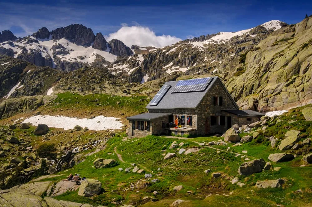
Refugi Ventosa i Calvell

Info
Refugi Ventosa i Calvell
Day
4

Refugi Ventosa i Cavell - Refugi de l'Estany Llong

Duration: 05:00 h
Distance: 8.8 km
Ascent: 650 m
Descent: 850 m

The stage starts calmly, with about 1.5 km of relatively easy walking and views towards Estany Gran de Colieto. Do not let this opening fool you. With 650 m of ascent and a T4 section ahead, this is a serious high mountain stage. The route soon changes completely, becoming steep, rocky and technical. This part asks more from your legs, balance and concentration than the previous stages, so start early and keep enough energy in reserve.

The hardest section lasts roughly 3 km and moves through broken rock, steep ground and unclear trail lines. In places you need to use your hands for balance or short scrambling moves, and the path is not always obvious. Follow the app carefully, take your time and avoid rushing. If you are not used to this kind of terrain, calculate extra time here, as every step needs attention and the rough surface can be tiring both physically and mentally.

After passing lake Estany de Contraix, the toughest part of the route is behind you. The surroundings become more familiar again, with narrow paths, greener patches and some stone fields still to cross. From here, the final 4 km are mainly downhill, which can be demanding on tired knees after the technical climb. Take it steadily all the way to the mountain hut. This is a stage to be well prepared for, and arriving at the hut will feel like a proper job well done.

Refugi del Estany Llong

Info
Refugi del Estany Llong
Day
5

Refugi de l'Estany Llong - Refugi Colomina

Duration: 04:55 h
Distance: 11.3 km
Ascent: 750 m
Descent: 340 m

After the previous, more demanding sections, this route feels more manageable physically, but it is not a rest day. With 750 m of ascent, you still need to work steadily for the height you gain. The first 6 km are mainly uphill on narrow mountain paths, climbing gradually from the hut into higher terrain. Take your time after breakfast, keep a comfortable pace and enjoy the fact that the walking is less technical than before.

Once the main climb is behind you, the watery landscape returns. Lakes, streams and open mountain views become part of the route again, especially after the short descent of less than a kilometre. From there, the trail eases into a slightly flatter section across the mountain. Along Lake Estany Tort, you follow an old railway track that guides you further in the direction of Refugi Colomina, with water and rock shaping much of the scenery.

The final stretch brings you towards Refugi Colomina, set beside another lake and high in the mountains. It is a fine place to arrive after a steady climbing day. Settle in, take in the views and enjoy your last evening of the route, with the sunset over the surrounding water and peaks.

Refugi Colomina

Info
Refugi Colomina
Refugi Colomina
Day
6

Refugi Colomina - Refugi Josep Maria Blanc - Espot

Duration: 05:30 h
Distance: 13.8 km
Ascent: 250 m
Descent: 1340 m

This final stage brings you close to the end of the Carros de Foc, but it still asks for care and patience. The main challenge is the long descent, with 1,340 m of elevation loss before reaching Espot. The paths are generally easier to follow than on the rougher high sections, but they still cross large stone blocks in places. Watch your footing, especially when your legs are already tired from the previous days.

The first 2 km are relatively flat across the mountainside, before two short climbs bring you higher again. After the second climb, around 3 km into the route, you reach Collada de Saburó. From here the descent begins properly, with sections that vary in steepness. The route leads down through a stony mountain landscape where the line is clearer, but the terrain still requires attention and steady steps.

Stop at the Estany Negre de Peguera Dam for a break and take a look at its striking, staircase-like structure. You can also continue a little further to Refugi Josep Maria Blanc, set beside the same lake, for a break. After this, the route turns clearly towards the end of the circuit, with about 5 km left on a wider path down to Espot.

Arriving in Espot marks the end of your Carros de Foc. After the long descent and the final kilometres out of the mountains, you can properly let the route sink in. Well done, you have completed the circuit.

Contact our Trekking Expert
Laurens de Roos
Laurens de Roos
Laurens de Roos

Included

  • Booking the huts

    We will take care of arranging accommodation on the Carros de Foc for you. We will also provide you with a detailed itinerary for every stage and instructions on how to get to the trailhead.

  • Accommodation

    During your Carros de Foc, you will stay overnight in comfortable accommodations. You'll sleep in private rooms, ensuring a good night's rest after each day on the trail.

  • Full travel guide

    You’ll receive access to our trekking app, which serves as your complete digital travel guide for the Carros de Foc. Inside, you’ll find everything you need for your trek: route descriptions, hiking maps, navigation support, payment information, and all the key details specific to your journey.

  • Full-board

    Accommodation at the huts includes breakfast, lunch, and dinner. We will arrange this for you as well. This allows you to travel lighter and have one less thing to worry about.

  • Accommodation

    During your Carros de Foc, you will spend your nights in mountain huts. You'll sleep here in dormitories, as the booked mountain huts don't have any private rooms.

  • Navigation support

    Our trekking app also includes built-in navigation support. With GPS-based maps and offline access, you can follow the trail confidently and stay on route even without mobile signal.

Excluded

  • Traveling to and from

    You have to make your own way to the starting point. The total amount does not include personal transport.

  • Transfers

    Should you need any form of (public) transport on location, this is not part of the trekking package. This includes the use of taxi, bus, cable cars, gondolas, ferries, etc.

  • Travel Insurance

    Your international travel insurance is your own responsibility. Discuss your itinerary with the insurance company before your trek.

  • Personal expenses

    Personal expenses on such as souvenirs, drinks, and other similar expenses are for your own account.

FAQ

  • Is The Carros de Foc For Me?

  • What Is The Best Season for The Carros de Foc?

  • How to Get To the Starting Point of Your Trek

  • How to Get Back at the End of the Trek

  • What if the dates I want are not available?

  • If I book now, can I immediately arrange the rest of my trip?

  • How do I know if this trek is right for me?

  • Can meals be adapted to my dietary requirements?

How to Book

  • Booking

  • Availability

  • Cancellation policy