Short Lasörling Höhenweg

  • Duration
    Total 5 days
    Average 5 h 32m
  • Distance
    Total 53.8 km
    Average 10.8 km
  • Ascent
    Total +3150 m
    Average +630 m
  • Descent
    Total -3250 m
    Average -650 m

> Designed for hikers with previous alpine experience
> Solid daily hikes with a touch of adventure
> Rugged alpine terrain by day, welcoming huts by night

The 5-day Lasörling Höhenweg is perfect for active hikers ready to go beyond the day hike. Whether you're looking for an intermediate hut-to-hut trek in the Alps or a scenic, rewarding route in the Austrian mountains, this trail delivers.. With well-marked paths, solid elevation gain, and stunning views of the Venedigergruppe and Großglocknergruppe, it’s a route that challenges just enough without being overwhelming.

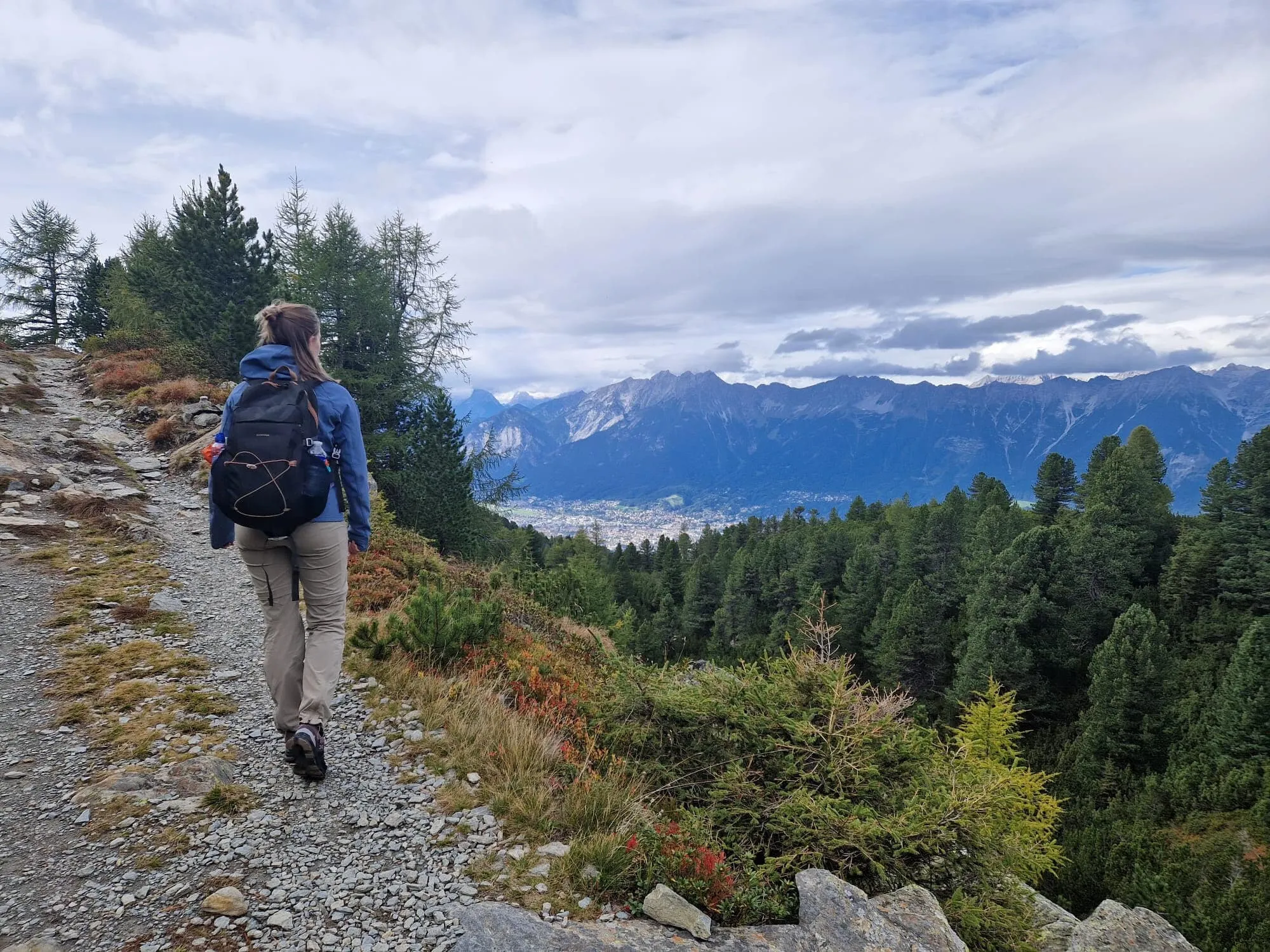
You’ll hike around 4 to 6 hours a day through varied alpine terrain, with solid elevation gain and plenty of opportunities to enjoy the scenery along the way. Each evening ends in a welcoming mountain hut, giving you time to recover before the next stage. Expect rugged paths, loose rocks, exposed sections, and the occasional fixed cable for extra security.

Important: On Day 4, the section from Bergerseehütte to Lasörlinghütte is the most demanding part of the route. Although the trail is classified as T2, the terrain is more challenging and technical, and requires previous alpine hiking experience, surefootedness, and confidence in the mountains. From Lasörlinghütte, the route continues to Zupalseehütte, where you will spend the night. Good preparation and mountain experience are essential for this day.

Itinerary

Day
1

Hinterbichl - Clarahütte

Duration: 05:25 h
Distance: 11.7 km
Ascent: 810 m
Descent: 100 m

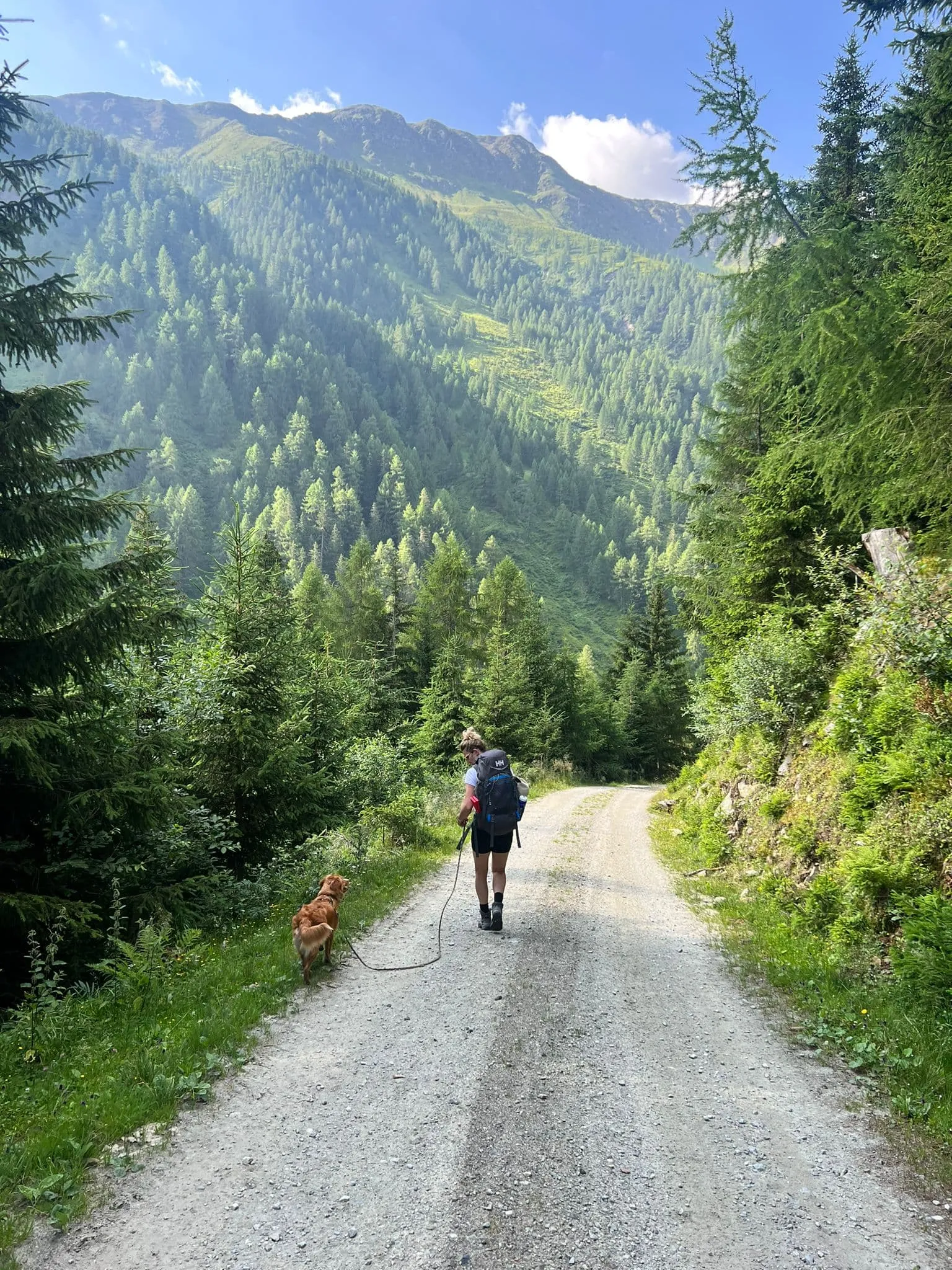
From Hinterbichl, the route starts gently towards Islitzer Alm and the Umbalfälle, but this should not be treated as a simple valley walk. You are moving into alpine terrain on unpaved paths, mountain hiking trails and steeper sections. With 800 m of ascent, the climb to Clarahütte is a real mountain effort. Expect uneven ground, stairs, viewing platforms and places where steady footing matters.

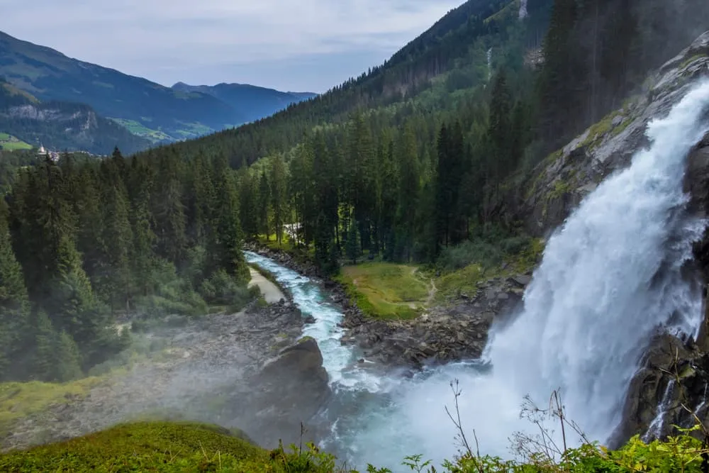
The first part follows the valley towards Islitzer Alm, a good place to pause before continuing to the Umbalfälle. Around the waterfalls, the route becomes more varied, using wooden platforms, steps and viewpoints close to the water. After this section, the trail leaves the easier valley character behind and climbs higher through the Upper Isel Valley. You pass crossings and river viewpoints as the surroundings become more open and alpine.

Higher up, the route passes the crossing of the Isel and Glacier Way Daber Steg before reaching Clarahütte at 2,038 m. The mountain hut sits in a high alpine setting, with the main climb already behind you.

Note: If you park at Ströden instead of Hinterbichl, the walk gets shorter, since Ströden is on the way to the hut. You arrive earlier, possibly before Clarahütte is open, so a picnic in your backpack is a good idea.

Clarahütte

Info
Clarahütte
Clarahütte
Day
2

Clarahütte - Neue Reichenbergerhütte

Duration: 05:15 h
Distance: 10.5 km
Ascent: 730 m
Descent: 180 m

From Clarahütte, this is a serious alpine stage. The route gains 730 m and includes a short technical section where the terrain is more demanding than the rest of the route. Sure-footedness, calm movement and mountain hiking experience are important here. Sturdy footwear and the right equipment matter, especially in poor weather or early-season conditions.

After leaving Clarahütte, the route crosses the mountain river Isel and heads into the Dabertal. The climb builds steadily rather than in one short push, passing highlights such as Regenbach Waterfall, Bridge Over the Isel, Daberlenke and small alpine lakes. The trail is mostly unpaved mountain terrain, with longer stretches where concentration matters. The flagged technical section comes after the first part of the route, so pace yourself before reaching it.

The route finishes at Neue Reichenberger Hütte beside the Bödensee glacial lake. This is a remote mountain hut arrival in Hohe Tauern National Park, with simple alpine surroundings and a clear sense of being deep in the mountains.

Neue Reichenbergerhütte

Info
Neue Reichenbergerhütte
Day
3

Neue Reichenbergerhütte - Bergerseehütte

Duration: 06:05 h
Distance: 10.5 km
Ascent: 620 m
Descent: 1010 m
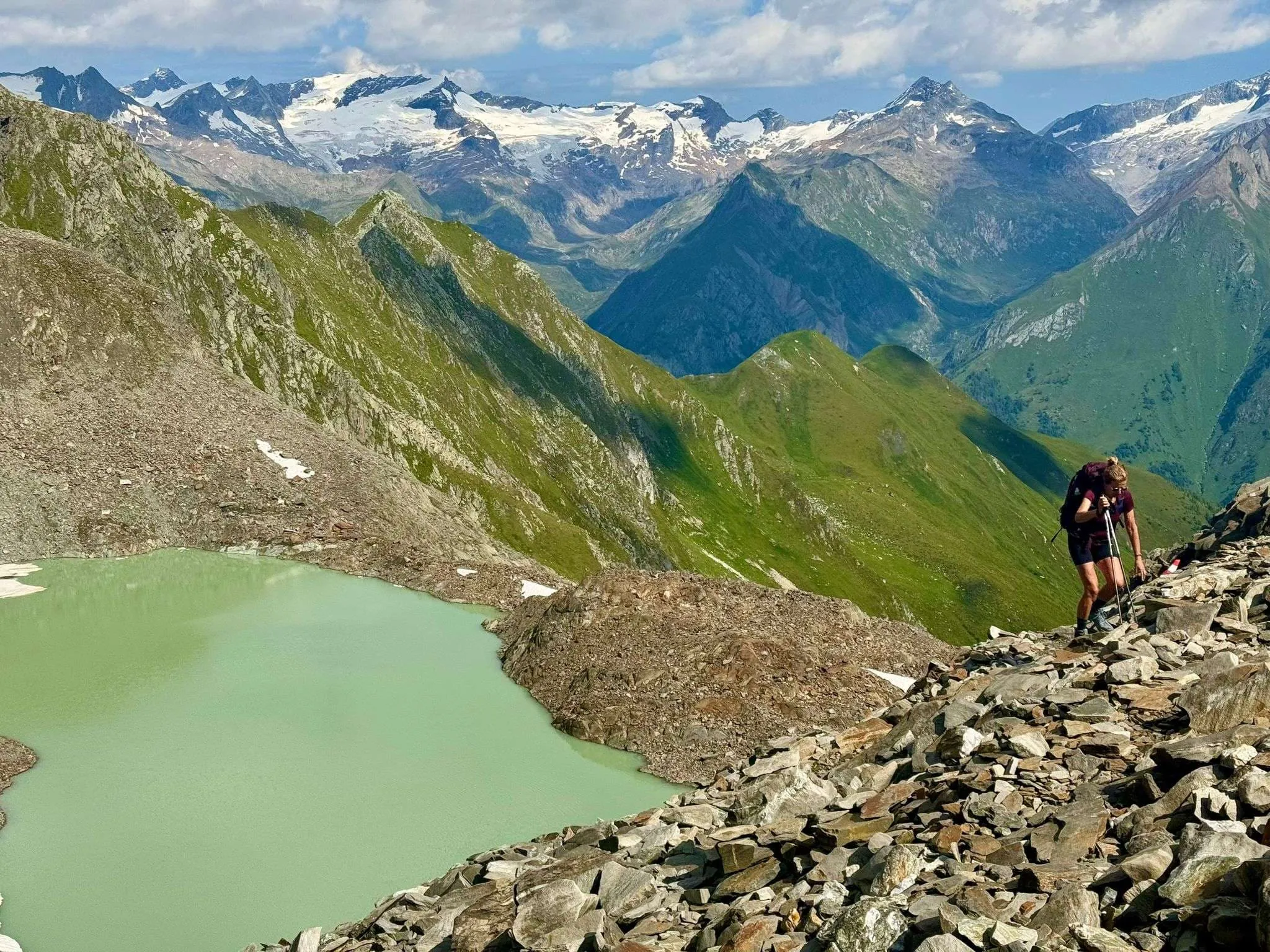
Start the day with a good breakfast—this is one of the tougher stages, but also one of the most rewarding. We begin with a steady climb to the Göslewand, a striking viewpoint high above the valley. From there, it’s a short hike to the Rote Lenke, a mountain pass named after its reddish rock formations. This marks the transition from Bödensee to Kleinbachboden. The trail then heads downhill to the Michtalscharte, where you’ll get fantastic views of the Venedigergruppe. The descent makes this part a bit easier. After a final stretch, we reach the Bergerseehütte—beautifully located by a mountain lake and a great place to unwind after a full day on the trail.

Bergerseehütte

Info
Bergerseehütte
Bergerseehütte
Day
4

Bergerseehütte - Zupalseehütte

Duration: 06:45 h
Distance: 11.8 km
Ascent: 880 m
Descent: 720 m

This is the hardest day of the trek, so plan your morning around it. From the Bergseehütte the path climbs steeply for the first couple of hours, then drops just as steeply towards the Lasörlinghütte. The ground is rough on both sides of the high point, loose scree and rock, and steel cables secure the most exposed sections. None of it calls for climbing skills, but you do need to be sure-footed and comfortable with drops beside the path. Set off early, go at your own pace, and use the Lasörlinghütte as your lunch stop.

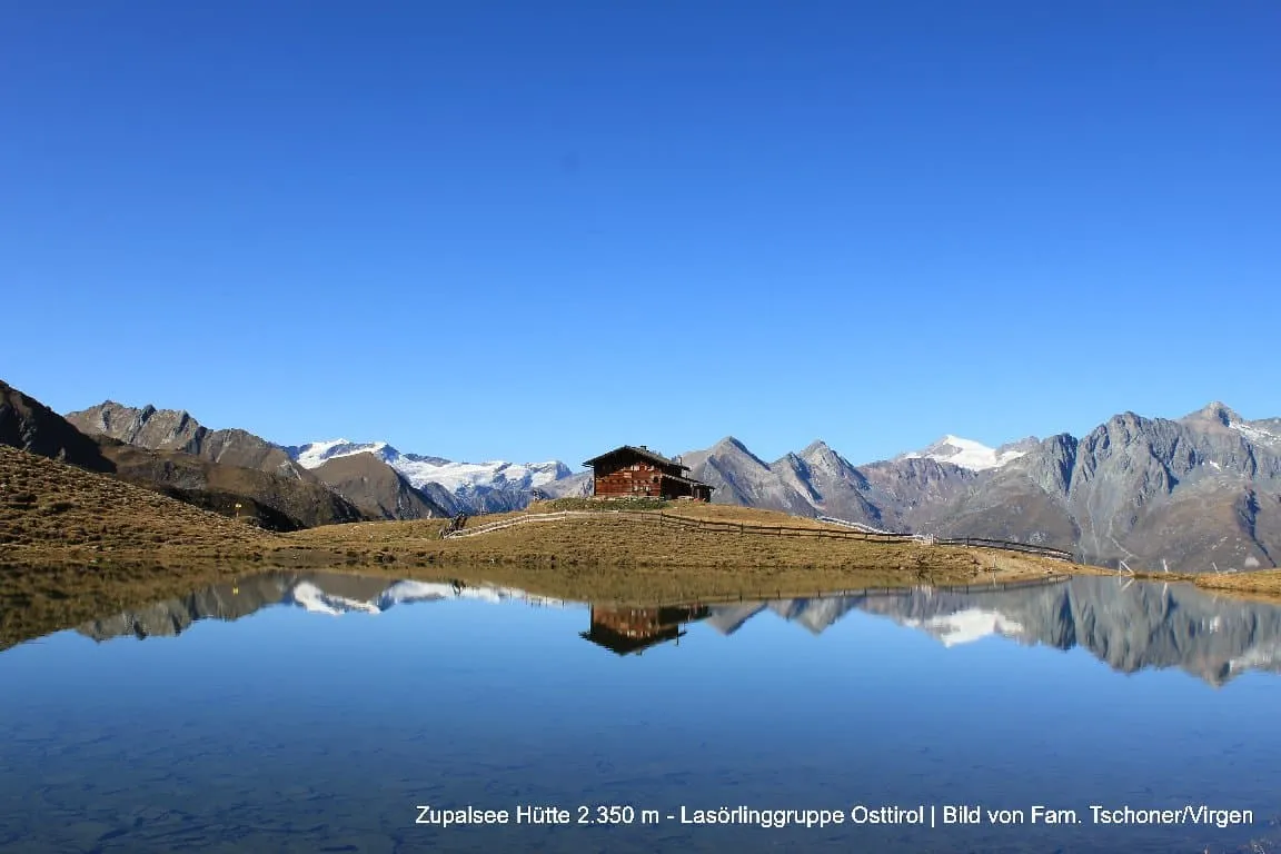
After the hut the path heads east and the going gets easier. A gentler climb brings you up to the ridge crossing in the Hohe Tauern National Park, where the view opens along the valley towards the Zupalseehütte, and the last stretch runs mostly downhill to the hut. Count on around seven hours of walking to cover just under 12 kilometres. It is the longest day of the trek and the one to be rested for.

Zupalseehütte

Info
Zupalseehütte
Zupalseehütte
Day
5

Zupalseehütte - Virgen

Duration: 04:10 h
Distance: 9.3 km
Ascent: 110 m
Descent: 1240 m

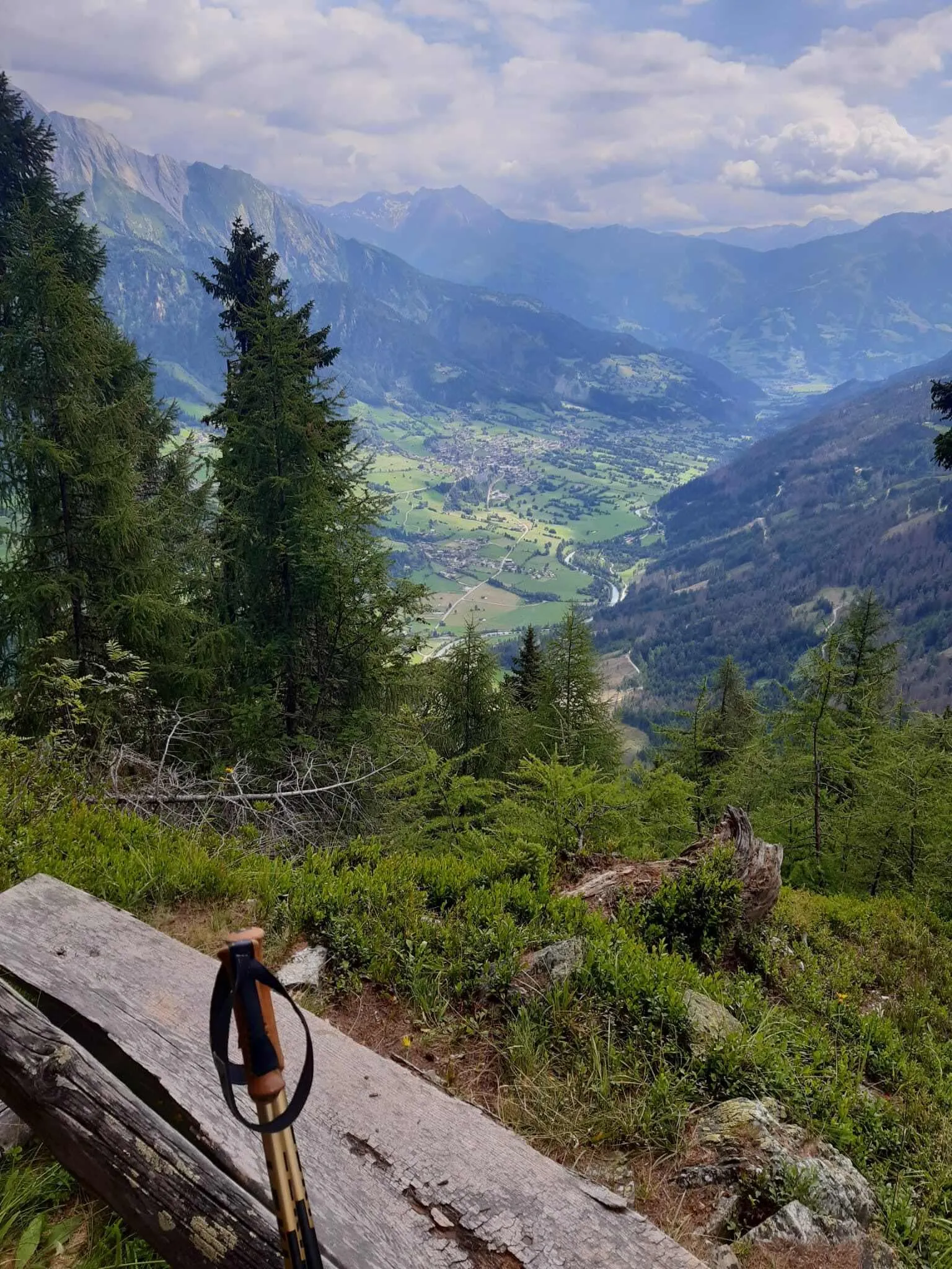
On the final day, we begin our descent into the valley and say goodbye to the high trails of the Lasörling Höhenweg. We’re no longer following the Höhenweg itself, but instead take a direct route down to Virgen. The day starts with a fairly steep descent along the Zupal Bach—nothing too technical, but it's good to take it slow and steady. Once we pass the mountain lake, we pick up the clear path that winds gently into the valley.

As we lose altitude, the scenery changes: we dip below the tree line and enter the forest—something we haven’t seen much of in the past few days. The shade and soft forest paths are a nice change, especially for little legs. Just before reaching Virgen, we cross the Isel one last time, just like we did on the first day. And with that, your alpine adventure comes to a close—tired legs, full hearts, and lots of memories to take home.

Contact our Trekking Expert
Naida Bonnema
Naida Bonnema
Naida Bonnema

Included

  • Booking the huts

    We will take care of arranging accommodation on the Lasörling Höhenweg for you. We will also provide you with a detailed itinerary for every stage and instructions on how to get to the trailhead.

  • Full travel guide

    You’ll receive access to our trekking app, which serves as your complete digital travel guide for the Lasörling Höhenweg. Inside, you’ll find everything you need for your trek: route descriptions, hiking maps, navigation support, payment information, and all the key details specific to your journey.

  • Accommodation

    During the trek, you’ll stay overnight in mountain huts. Accommodation is booked in dormitories (Lager) by default. Some huts offer private rooms (€50 per room, per night) or Mehrbettzimmer / small shared rooms (€12.50 per person, per night), subject to limited availability. If you’d like an upgrade, you can leave a comment while booking or email us immediately after booking. If a private room isn’t available, your booking will be placed in a Mehrbettzimmer or dormitory instead.

  • Half board in huts (where possible)

    Accommodation in the huts includes dinner and breakfast, unless otherwise indicated in the exclusive list. This allows you to travel lighter and not have to worry about an extra meal. Please note, however, that lunch is not included, but can be purchased at the huts. Beverages may also be charged separately at some huts.

  • Navigation support

    Our trekking app also includes built-in navigation support. With GPS-based maps and offline access, you can follow the trail confidently and stay on route even without mobile signal.

Excluded

  • Traveling to and from

    You have to make your own way to the starting point. The total amount does not include personal transport.

  • Transfers

    Should you need any form of (public) transport on location, this is not part of the trekking package. This includes the use of taxi, bus, cable cars, gondolas, ferries, etc.

  • Lunch

    Half-board is included in the price of this trek. Lunch, however, is not. Many huts offer packed lunches, which can usually be requested the night before. Alternatively, you can stop for lunch at mountain huts along the way.

  • Travel Insurance

    Your international travel insurance is your own responsibility. Discuss your itinerary with the insurance company before your trek.

  • Personal expenses

    Personal expenses on such as souvenirs, drinks, and other similar expenses are for your own account.

  • Dinner Bergerseehütte

    Where possible, we book accommodations on a half-board basis, but at the Bergerseehütte, only breakfast is included. In the evening you can dine à la carte at the hut without any problem and pay for it in cash on the spot. So make sure you take enough cash with you on trek.

FAQ

  • Travel to and from

  • Back to Hinterbichl

  • What if the dates I want are not available?

  • If I book now, can I immediately arrange the rest of my trip?

  • How do I know if this trek is right for me?

  • Can meals be adapted to my dietary requirements?

How to Book

  • Booking

  • Availability

  • Cancellation policy