

Monviso South Express Trek

  • Duration
    Total 3 days
    Average 6 h 3m
  • Distance
    Total 37.8 km
    Average 12.6 km
  • Ascent
    Total +2620 m
    Average +873 m
  • Descent
    Total -2620 m
    Average -873 m

> Loop around Monte Viso between Italy and France in 3 days
> Cross the historic Colle delle Traversette between France and Italy
> Sleep in classic Italian and French rifugios beneath Monte Viso

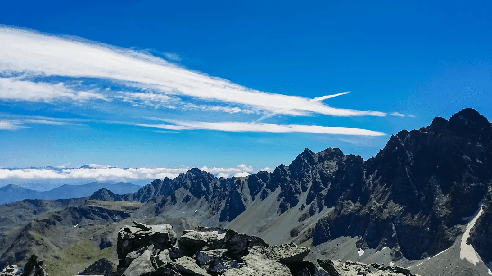
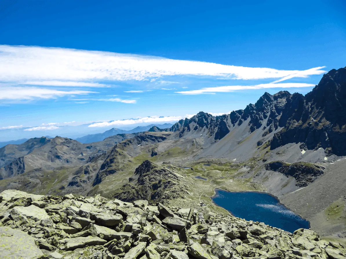
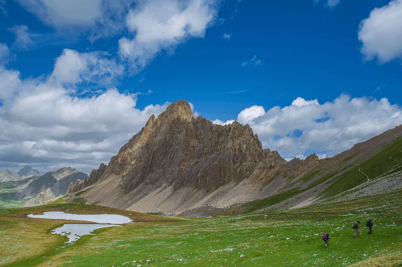
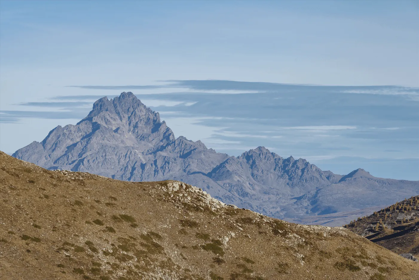
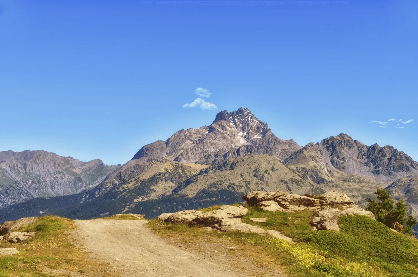
This three-day hut-to-hut loop circles Monte Viso, the highest peak in the Cottian Alps. Starting and finishing at Castello di Pontechianale, you cross from Italy into France and back, linking the Varaita, Guil and upper Po valleys. Along the way you climb past Rifugio Vallanta to the Vallanta Pass, cross the Traversette below the historic Buco di Viso, and descend through the Alevè forest, the largest stone pine forest in Europe.

This is a demanding route with two long climbs of over 1,100 meters. The trails are high, rocky and exposed, so very good fitness, sure-footedness and some alpine experience are essential.

In return you get one of the great short treks of the Alps, with glacial lakes in every shade of blue along the way. Each day ends in a mountain hut with a hot dinner and a new face of Monte Viso outside the window. We handle all the hut bookings and route planning, so you can focus on the mountains.

Itinerary

Day
1

Castello - Viso Refuge

Duration: 06:08 h
Distance: 12.7 km
Ascent: 1260 m
Descent: 400 m

This is a demanding first stage, with a long climb from Castello towards the high ground around Viso Refuge. You start near Lago artificiale di Castello and quickly begin gaining height, first through greener terrain and later across more open mountain ground. The ascent is steady for much of the route, so this is a stage where a calm pace and regular breaks make a big difference.

The route climbs past Grange Alpet and continues through grassy surroundings towards the Vallanta Stream. You cross the creek at Grange Gheit, then move into a more open landscape with fewer trees, passing Grange Souliereres and following the valley further uphill. A wooden bridge and the View of Rifugio Vallanta mark the approach to Rifugio Vallanta, with Bealera Funsa Lake close by.

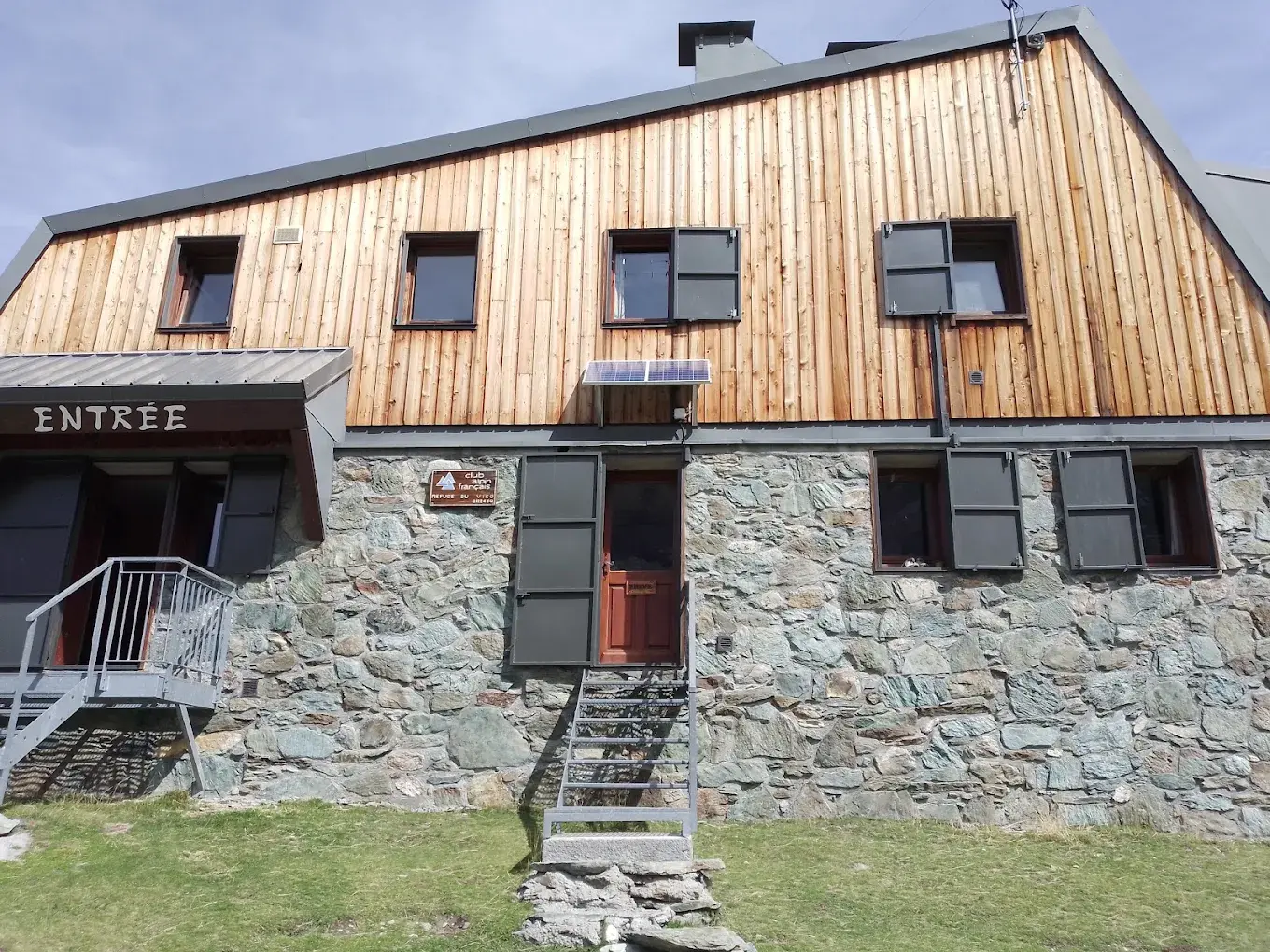
After Rifugio Vallanta, the trail continues in a zigzag towards Vallanta Pass, where the route turns left. From there, you descend slightly past Lac Lestio before continuing by Face Clam, Palourde du Viso, Viso's Clam. The final section brings you to the hut, a welcome arrival after a long and steady mountain ascent.

Refuge du Viso

Info
Refuge du Viso
Refuge du Viso
Day
2

Viso Refuge - Rifugio Quintino Sella

Duration: 07:07 h
Distance: 14.1 km
Ascent: 1150 m
Descent: 970 m

This is a demanding mountain stage with 1,150 m of ascent, so start steadily and keep energy for the later climbs. Leaving Viso Refuge behind, the route turns right and begins climbing almost straight away. The path loops upward towards Traversette Pass before descending into more open terrain. It is a varied day, with rocky sections, wide mountain views, lakes and several clear landmarks along the way.

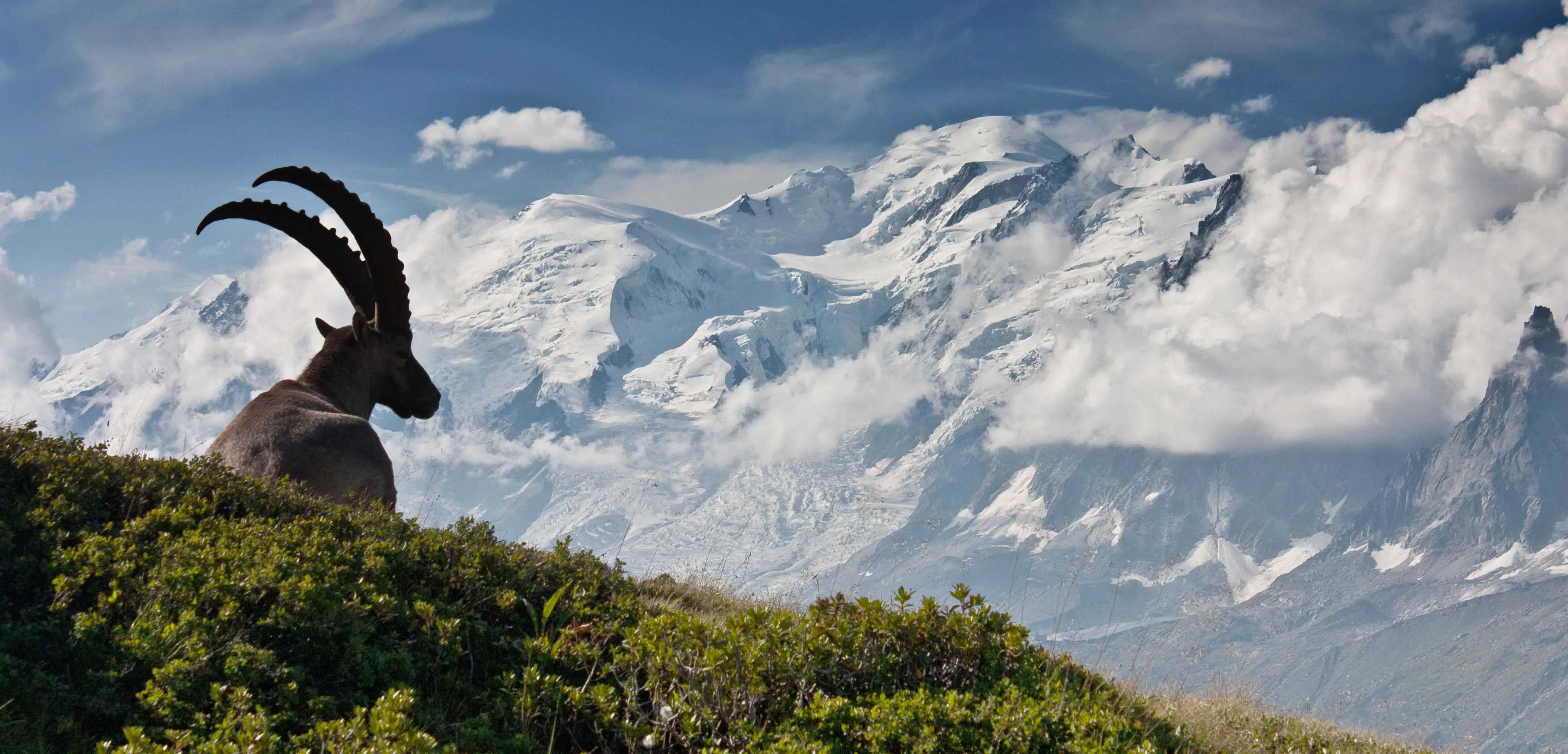
After reaching Traversette Pass, the trail starts descending, first left and then right, passing the Military hut below the Buco di Viso and continuing by Pian Mait. You then head down past the Ibex Observation Point into open mountain ground, where the surrounding ranges become more visible. Further along, the route passes an area where marmots may be seen before turning right towards Lake Fiorenza.

From Lake Fiorenza, the route climbs again towards Lago Grande di Viso, adding one final ascent before the finish. The arrival at Rifugio Alpetto is set beside Lago Grande di Viso, making it a clear and rewarding endpoint after a long day over high mountain terrain.

Rifugio Quintino Sella al Monviso

Info
 Rifugio Quintino Sella al Monviso
Rifugio Quintino Sella al Monviso
Day
3

Rifugio Quintino Sella - Castello

Duration: 04:55 h
Distance: 11 km
Ascent: 210 m
Descent: 1250 m

This is a mostly descending mountain stage that takes you from the high terrain around Rifugio Quintino Sella back towards Castello. The first part stays open and rocky, with a short amount of climbing before the route begins its long descent. After the passes, the landscape gradually changes from bare alpine ground to forest and valley paths, giving the day a clear sense of transition back down from the mountains.

You start near Lago Grande di Viso and continue through the Parco Naturale Regionale del Monviso, with wide views across the surrounding rock and high valleys. The route passes Gallarino Pass and then San Chiaffredo Pass before reaching Lago Bertin, where the main descent begins. Lower down, you pass the View of Lake Pontechianale and enter the Alevé Pine Forest, where the trail becomes greener and more sheltered.

The final section continues downhill towards Castello. Near the end, the route turns right and crosses the Bridge Over the Vallanta Stream in Frazione Castello, a clear landmark before the walk finishes back at the end point.

Contact our Trekking Expert
Jelle Tekstra
Jelle Tekstra
Jelle Tekstra

Included

  • Full travel guide

    You’ll receive access to our trekking app, which serves as your complete digital travel guide for the Monviso Trek. Inside, you’ll find everything you need for your trek: route descriptions, hiking maps, navigation support, payment information, and all the key details specific to your journey.
  • Accommodation

    During your Monviso Trek, you will spend your nights in mountain huts. We normally book dormitories, but private rooms may be available upon request for an additional €75 per room per night. Please note that not all huts offer private rooms, and availability is limited. If a private room is not available, we will automatically book a bed in a dormitory.
  • Half-board in Huts

    Accommodation at the huts includes dinner and breakfast. We will arrange this for you as well. This allows you to travel lighter and have one less thing to worry about. Bear in mind that lunch is not included, but it can be purchased at the huts. Here you can also buy an array of snacks and bottled water.
  • Navigation support

    Our trekking app also includes built-in navigation support. With GPS-based maps and offline access, you can follow the trail confidently and stay on route even without mobile signal.

Excluded

  • Traveling to and from

    You have to make your own way to the starting point. The total amount does not include personal transport.
  • Transfers

    Should you need any form of (public) transport on location, this is not part of the trekking package. This includes the use of taxi, bus, cable cars, gondolas, ferries, etc.
  • Lunch

    Half-board is included in the price of this trek. Lunch, however, is not. Many huts offer packed lunches, which can usually be requested the night before. Alternatively, you can stop for lunch at mountain huts along the way.
  • Travel Insurance

    Your international travel insurance is your own responsibility. Discuss your itinerary with the insurance company before your trek.
  • Personal expenses

    Personal expenses on such as souvenirs, drinks, and other similar expenses are for your own account.

FAQ

  • How to get to the starting point

  • How to get back from the end point

  • What if the dates I want are not available?

  • If I book now, can I immediately arrange the rest of my trip?

  • How do I know if this trek is right for me?

  • Can meals be adapted to my dietary requirements?

How to Book

  • Booking

  • Availability

  • Cancellation policy