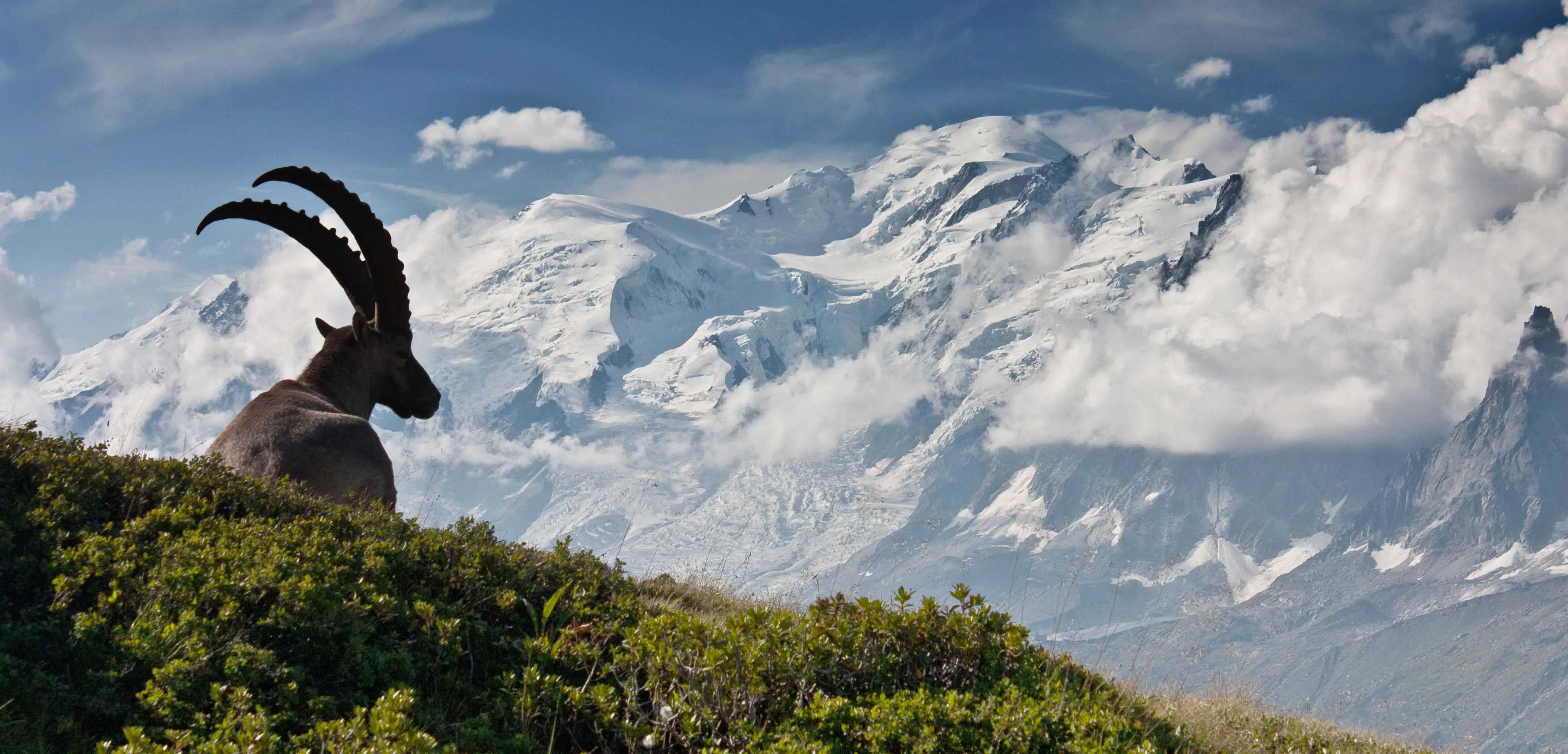


Monviso Trek South

  • Duration
    Total 5 days
    Average 4 h
  • Distance
    Total 43.9 km
    Average 8.8 km
  • Ascent
    Total +2920 m
    Average +584 m
  • Descent
    Total -2930 m
    Average -733 m

> Cross Vallanta Pass from Italy into France
> Walk between lakes, valleys and high passes
> Stay in welcoming Italian rifugios

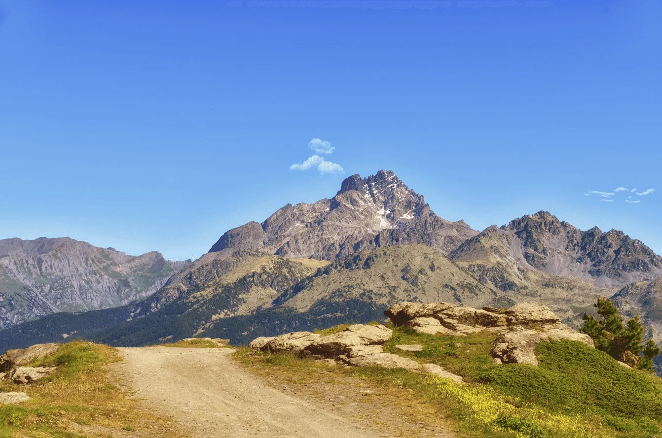
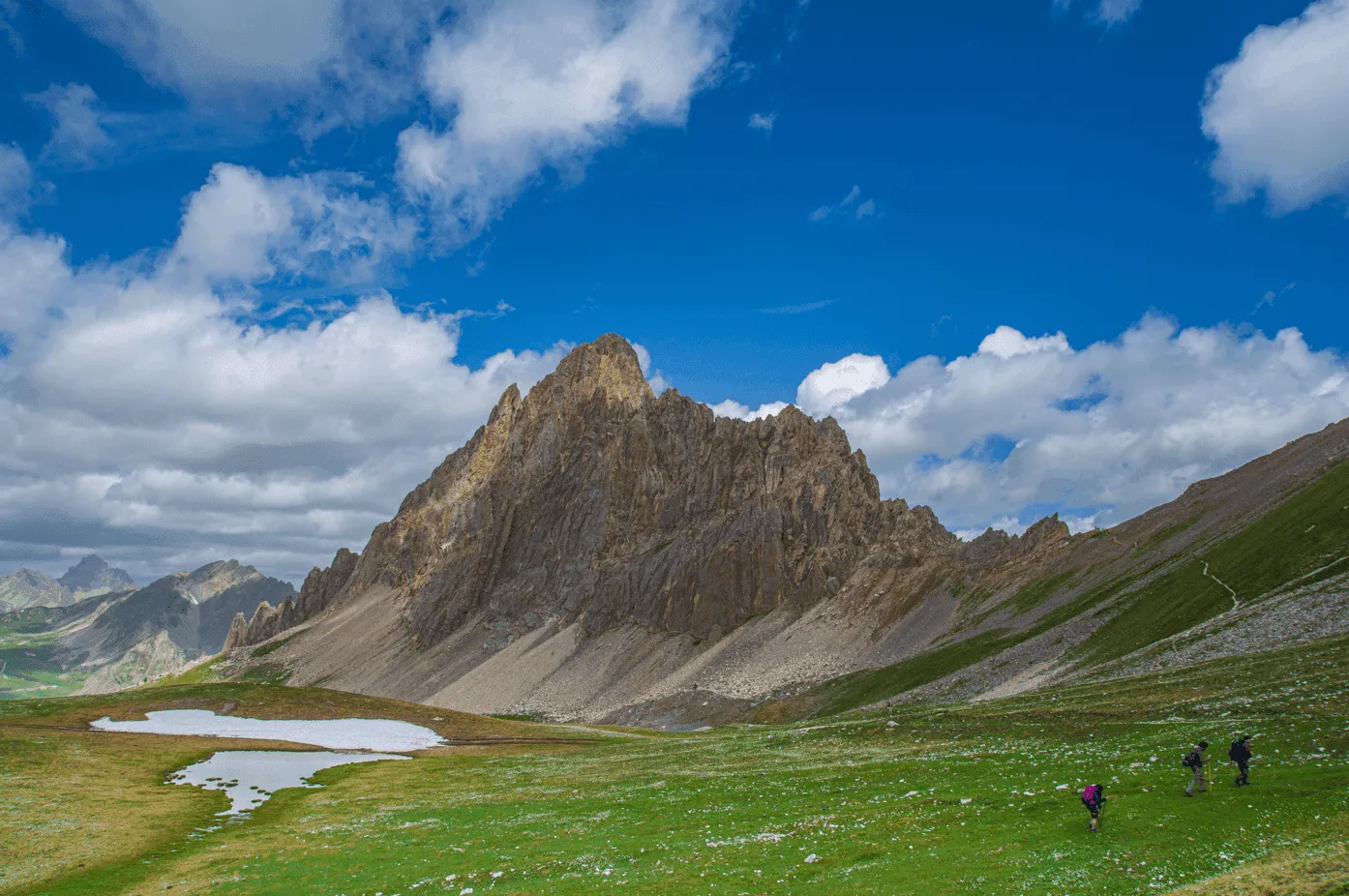
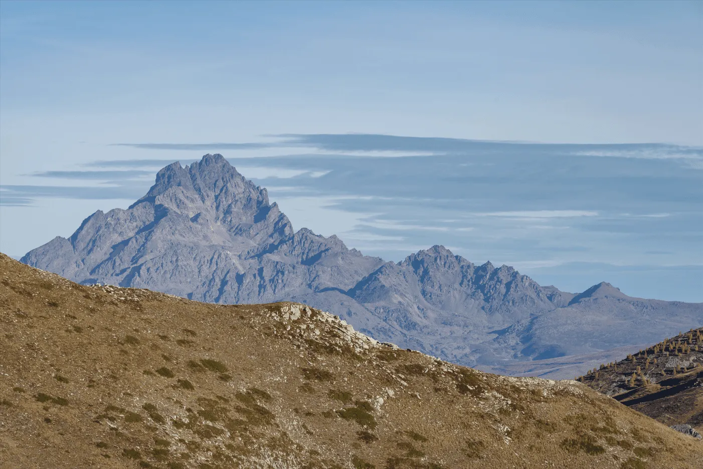
This 5-day hut-to-hut trek explores the southern side of Monviso and gives you a compact introduction to its mountain landscape. You walk through open valleys, past clear alpine lakes, across rocky slopes and into quiet forest sections, with Monviso often close by. The route has enough variety to feel like a real adventure, but the stages are kept manageable, making it a good option for beginners with a steady hiking rhythm.

The trek combines peaceful walking with a few memorable high points. Vallanta Pass takes you across the border from Italy into France, while Traversette Pass gives the final day a strong mountain finish before the descent back down. Between these passes, the landscape softens and changes, with streams, grassy meadows, lake basins and sheltered valleys giving each day its own character.

This trek is for hikers who want to try a first hut-to-hut route without jumping straight into long or technical days. You should be comfortable with steady climbs, descents and rocky mountain paths, but you do not need previous multi-day trekking experience. We take care of the hut bookings and route planning, so you can focus on the walking, the views and the simple rhythm of life in the mountains.

Itinerary

Day
1

Pian della Regina to Refugio Quintino Sella

Duration: 03:55 h
Distance: 8.4 km
Ascent: 960 m
Descent: 60 m

You start in Pian della Regina and head straight into the climb towards the lakes below Monviso. The route is short, but with 960 m of elevation gain it keeps you working from the beginning. The first section is still green and open, but higher up the path becomes rockier and the surroundings feel more alpine as you move towards Rifugio Quintino Sella.

Leaving Pian della Regina, you cross grassy meadows and pass close to the Chapel of Our Lady of the Snow, with a public water fountain nearby. The trail then turns left and climbs towards Lake Fiorenza. From here the route continues higher between Lake Fiorenza and Lake Chiaretto, where the terrain becomes rougher and the views towards Monviso become more and more part of the walk.

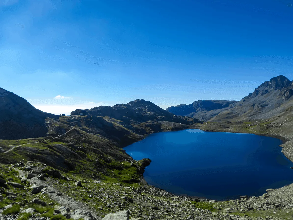
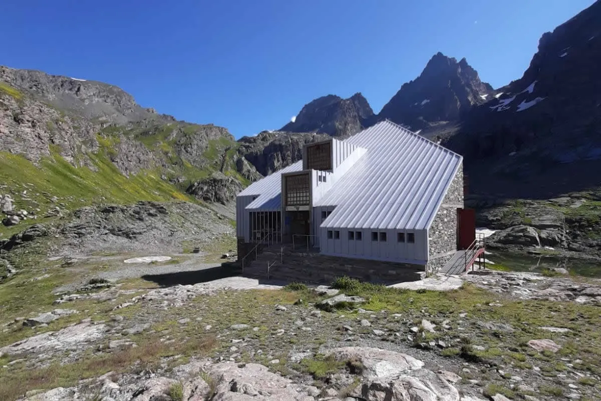
After Lake Chiaretto, the path continues towards Lago Grande di Viso and climbs below the Hill of Viso. Lago Grande di Viso lies on one side of the route, with Lago di Costagrande on the other. Rifugio Quintino Sella sits between the lakes, a fitting place to arrive after a steady climb through this high mountain landscape.

Rifugio Quintino Sella al Monviso

Info
 Rifugio Quintino Sella al Monviso
Rifugio Quintino Sella al Monviso
Day
2

Refugio Quintino Sella - Rifugio Alevè

Duration: 04:45 h
Distance: 11.4 km
Ascent: 200 m
Descent: 1250 m

From Rifugio Quintino Sella, you leave the rocky high terrain around Monviso and begin a long descent towards Rifugio Alevè. The route starts among lakes, stone and open mountain slopes, then gradually drops into greener surroundings. It is a clear change in landscape, from exposed alpine ground to forest paths and calmer valley terrain.

The path first follows stony ground near Lago Grande di Viso before crossing rough mountain terrain below Punta Trento, one of the rocky peaks above this part of the route. Along the way, you pass high alpine lakes such as Lago delle Sagnette and Lago della Pellegrina. This upper section feels open and remote, with wide views across the Monviso area before the trail starts its longer descent.

Lower down, the route enters the Alevè forest, where the path becomes softer and more sheltered between larches and stone pines. Around Plan Meyer, a small open area on the descent, the trees briefly give way and you get glimpses towards the lower valley. The final part continues through the forest and onto a quiet side road before reaching Rifugio Alevè, where you can settle in after a long downhill day.

Rifugio Alevè

Info
Rifugio Alevè
Rifugio Alevè
Day
3

Rifugio Alevè - Rifugio Vallanta

Duration: 03:30 h
Distance: 7.4 km
Ascent: 850 m

From Rifugio Alevè, you start low in the valley and follow the route towards Castello before climbing into the Vallanta Valley. The day is mainly uphill, with around 850 m of ascent and very little descent. The route is easy to understand, as you follow the valley and the Vallanta Stream for much of the way, gradually moving from village surroundings into more open mountain terrain.

After Castello, you cross the bridge over the Vallanta Stream in Frazione Castello and continue past grassy slopes and scattered mountain buildings around Grange Souliereres. The path keeps climbing at a steady pace, with the stream often nearby. Further up, you pass a wooden bridge, where the valley opens more clearly and the higher mountain setting starts to take over.

The route continues past Grange Soubeyran and climbs deeper into the valley. The terrain becomes more open and rocky as you gain height, but the direction remains straightforward. The final section leads steadily towards Rifugio Vallanta, where you arrive after a clear and consistent uphill walk through the valley.

Rifugio Vallanta

Info
Rifugio Vallanta
Rifugio Vallanta
Day
4

Rifugio Vallanta - Refuge du Viso

Duration: 02:45 h
Distance: 5.76 km
Ascent: 420 m
Descent: 400 m

From Rifugio Vallanta, you climb straight into high mountain terrain. The stage is short, but the crossing over Vallanta Pass gives it a real alpine feel. The trail rises steadily through rocky ground and open slopes before reaching the pass. From there, the route changes character as you cross into France and begin the descent towards Refuge du Viso.

The first part climbs above Lago Vallanta and follows a clear mountain path into a stony valley. Around you, the landscape is wide and rugged, with grey rock, grassy patches and steep mountain walls. After Vallanta Pass, the trail drops into a broad rocky basin and passes Lake Lestio, where the descent becomes more gradual and the terrain starts to open up.

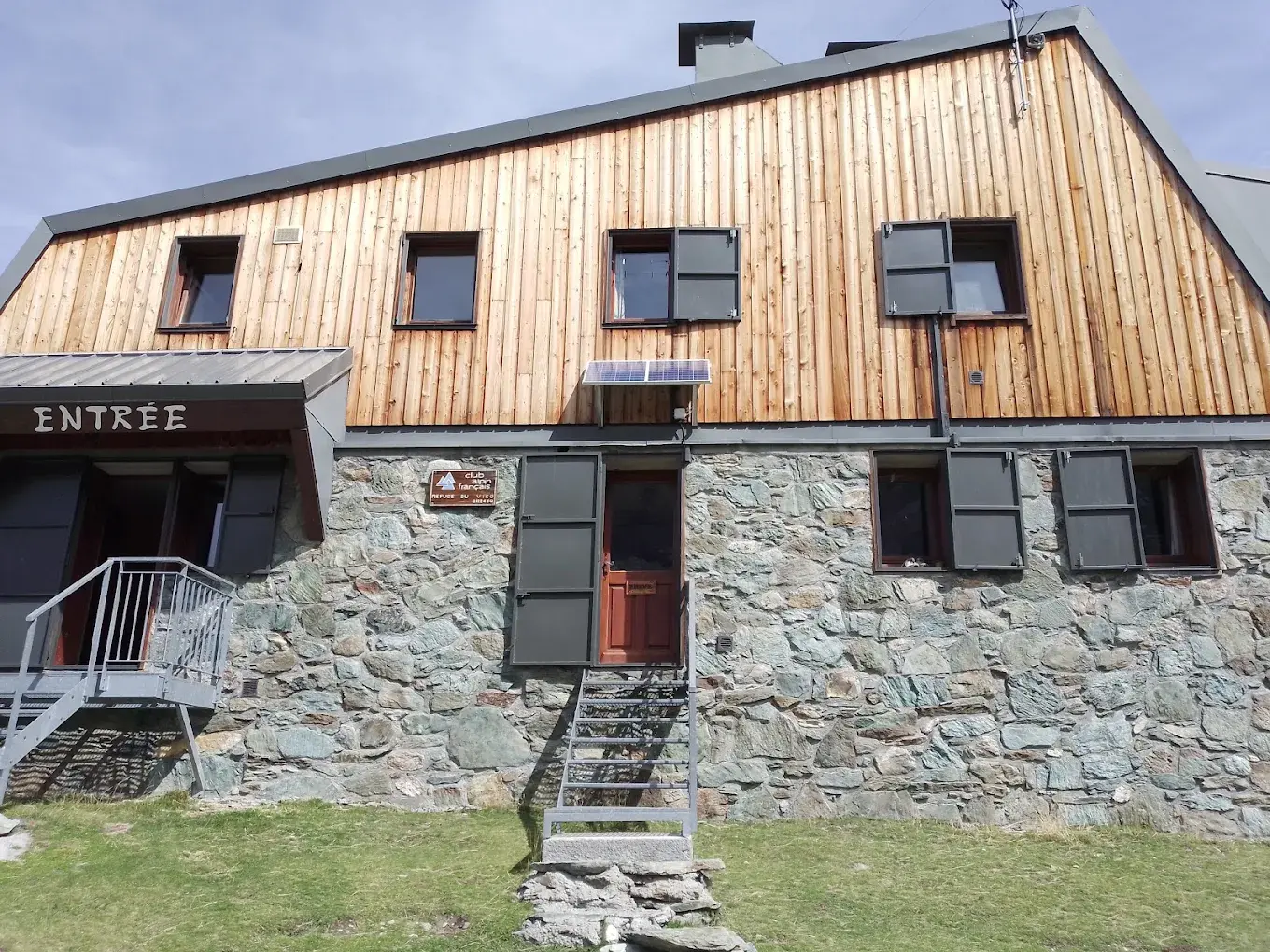
In the final section, the route continues across open alpine ground with Viso di Vallanta coming clearly into view ahead. The path leads steadily towards Refuge du Viso, where you arrive after a compact but rewarding crossing between Italy and France.

Refuge du Viso

Info
Refuge du Viso
Refuge du Viso
Day
5

Refuge du Viso - Pian della Regina

Duration: 05:05 h
Distance: 10.9 km
Ascent: 490 m
Descent: 1220 m

From Refuge du Viso, the route climbs back into high border terrain before the long descent to Pian della Regina. The day begins in open, rocky surroundings and rises steadily towards Traversette Pass, the highest point of the stage. After the pass, the route gradually becomes less rugged, leading you down from the high alpine world towards greener slopes and the Italian side.

The first section follows a clear mountain path across pale rock and open slopes, with Monviso close by as you climb. Around Traversette Pass, the terrain feels rougher and more exposed, so this is the part to take steadily. Once over the pass, the route begins a long descent, first over stone and gravel, then through wider, softer terrain as the valley opens below.

Further down, the path passes through the Pian Mait area and continues towards the Chapel of Our Lady of the Snow and Pian del Re. From here, the walking becomes gentler, with meadows, streams and easier paths leading you towards Pian della Regina. The route ends in the same place where the trek began.

Contact our Trekking Expert
Jelle Tekstra
Jelle Tekstra
Jelle Tekstra

Included

  • Full travel guide

    You’ll receive access to our trekking app, which serves as your complete digital travel guide for the Monviso Trek. Inside, you’ll find everything you need for your trek: route descriptions, hiking maps, navigation support, payment information, and all the key details specific to your journey.
  • Accommodation

    During your Monviso Trek, you will spend your nights in mountain huts. We normally book dormitories, but private rooms may be available upon request for an additional €75 per room per night. Please note that not all huts offer private rooms, and availability is limited. If a private room is not available, we will automatically book a bed in a dormitory.
  • Half-board in Huts

    Accommodation at the huts includes dinner and breakfast. We will arrange this for you as well. This allows you to travel lighter and have one less thing to worry about. Bear in mind that lunch is not included, but it can be purchased at the huts. Here you can also buy an array of snacks and bottled water.
  • Navigation support

    Our trekking app also includes built-in navigation support. With GPS-based maps and offline access, you can follow the trail confidently and stay on route even without mobile signal.

Excluded

  • Traveling to and from

    You have to make your own way to the starting point. The total amount does not include personal transport.
  • Transfers

    Should you need any form of (public) transport on location, this is not part of the trekking package. This includes the use of taxi, bus, cable cars, gondolas, ferries, etc.
  • Lunch

    Half-board is included in the price of this trek. Lunch, however, is not. Many huts offer packed lunches, which can usually be requested the night before. Alternatively, you can stop for lunch at mountain huts along the way.
  • Travel Insurance

    Your international travel insurance is your own responsibility. Discuss your itinerary with the insurance company before your trek.
  • Personal expenses

    Personal expenses on such as souvenirs, drinks, and other similar expenses are for your own account.

FAQ

  • How to Get to the Starting Point

  • How to Get Back from the End Point

  • What if the dates I want are not available?

  • If I book now, can I immediately arrange the rest of my trip?

  • How do I know if this trek is right for me?

  • Can meals be adapted to my dietary requirements?

How to Book

  • Booking

  • Availability

  • Cancellation policy