South Downs Way

  • Duration
    Total 11 days
    Average 5h 40min
  • Distance
    Total 182.6 km
    Average 20.3 km
  • Ascent
    Total +3290 m
    Average +366 m
  • Descent
    Total -3340 m
    Average -371 m

> Walk the full South Downs Way to the east coast
> Enjoy breathtaking views of valleys and meadows
> Accommodation before, during and after the trek included

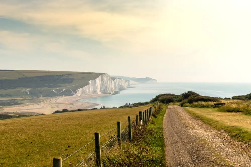
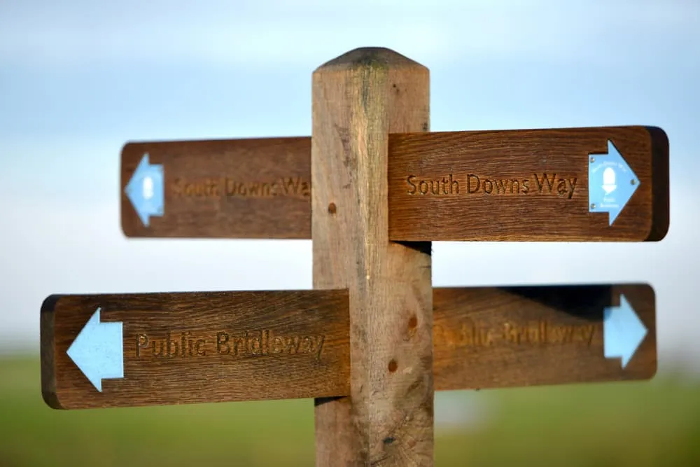
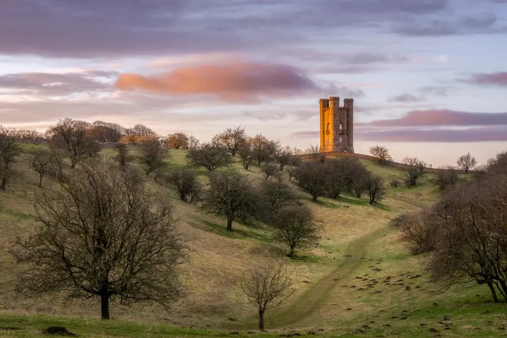
The South Downs Way is a trail that runs through the South Downs National Park. It is England’s newest National park and was only established in 2009. It runs through as many as 5 National Nature Reserves and many more interesting attractions, the most important being the iconic English chalk hills.

Itinerary

Day
1

Arrival in Winchester

Today, you will arrive in Winchester, the starting point of your South Downs Way adventure. Take some time to explore the historic city centre, visit the cathedral if you have time, and settle in before the walk begins tomorrow.

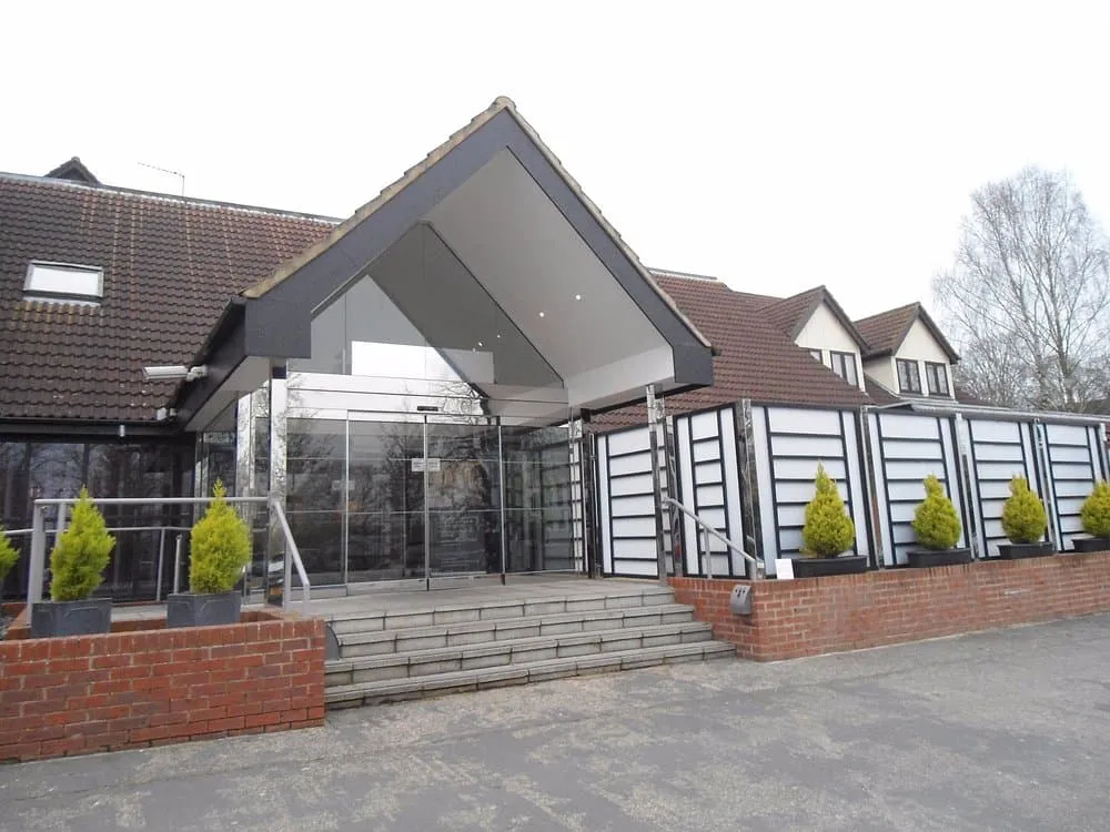
The Winchester Hotel and Spa (Winchester)
Day
2

Winchester - Exton

Duration: 05:55 h
Distance: 21.9 km
Ascent: 290 m
Descent: 280 m

This is a long first walking stage of almost 22 km, leading from Winchester into the open countryside of the South Downs. The route leaves the city through its eastern edge and soon settles into a mix of quiet lanes, field paths and rolling farmland. The profile is gentle overall, with small climbs and descents spread through the day rather than one major ascent. It is a good introduction to the rhythm of the trail.

From Winchester, the route passes near River Itchen before heading out through Petersfield Road and towards Chilcomb parish. After leaving the city behind, you follow rural tracks and paths across open ground, with views over the surrounding countryside. The trail continues past lanes and field edges, then bends south towards the Meon Valley Trail area. Along the way, you pass small woods, farm tracks and broad views across the Hampshire hills.

The final section leads towards Exton after a steady stretch through quieter countryside. You arrive in the village with the main walking behind you, a practical place to rest after a long but manageable first stage from Winchester.

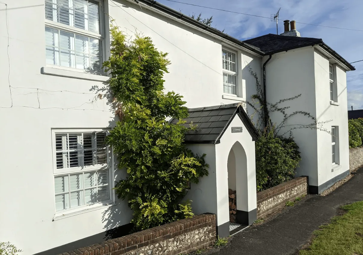
Crossways B&B (Exton)
Day
3

Exton - Buriton

Duration: 05:50 h
Distance: 20.8 km
Ascent: 390 m
Descent: 370 m

This is a long stage from Exton to Buriton, crossing the rolling chalk hills and open countryside of the South Downs. The route moves through a mix of field paths, quiet lanes, wooded sections and broad hilltop tracks. The profile rises and falls throughout the day, with the highest-feeling stretch coming around the middle of the route before a gentler finish towards Buriton.

From Exton, the trail heads east past the Old Winchester Hill area, with viewpoints and Iron Age features marked along the Monarch's Way. It then continues towards Meon Springs and Small Down, before crossing higher ground near Salt Hill (210 m), Hyden Hill (210 m) and Tegdown Hill (220 m). Further on, the path passes Butser Hill (270 m) and its nature reserve, and Queen Elizabeth Country Park, with woodland, open downs and broad views shaping the second half of the walk.

The final section leads through the Buriton area, passing along along the Hangers Way and Shipwrights Way. You arrive in Buriton after a full day across the South Downs, with your accommodation offering a practical place to rest after the walk from Exton.

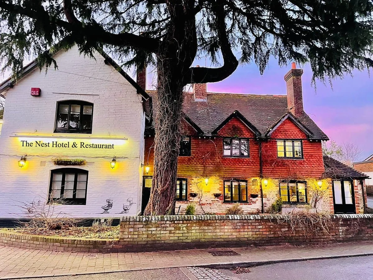
The Nest Hotel & Restaurant (Buriton)
Day
4

Buriton - Cocking

Duration: 05:10 h
Distance: 18.4 km
Ascent: 360 m
Descent: 390 m

This stage leaves Buriton and continues east through a classic South Downs landscape of open ridges, woodland edges and quiet tracks. The walking rolls steadily rather than climbing in one big push, with several broad viewpoints along the way. Expect a varied route through open downland, forest margins and rural paths, with enough small rises and descents to keep a good rhythm before the final approach towards Cocking.

From Buriton, the trail passes Saint Mary's Church and its pond before heading across open ground towards the 18th-century Vandalian Tower on the summit of Tower Hill (210 m). Further on, the route continues towards the viewpoints around Beacon Hill (242 m), where it opens out across the surrounding downs. The path then follows bridleways and hill tracks towards the Devil's Jumps, a series of well-preserved Bronze Age barrows (cemeteries), located just off the trail. Shortly afterwards, you will pass Treyford Hill (236 m) and Linch Down (248 m).

The final section of the walk leads you past the beautiful South Downs Forest and on towards Cocking. After a steady succession of ridges, woods and open farmland, you arrive at your accommodation, which provides a practical place to rest after the walk from Buriton.

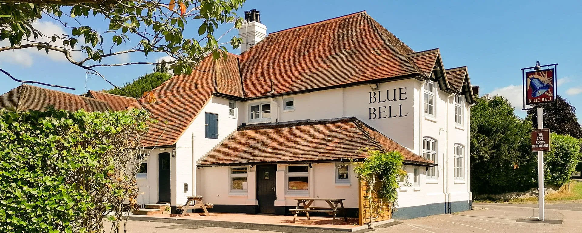
The Blue Bell (Cocking)
Day
5

Cocking - Amberley

Duration: 06:00 h
Distance: 21.2 km
Ascent: 410 m
Descent: 440 m

This is a long stage from Cocking to Amberley, crossing a broad section of the South Downs. The route starts with a steady climb out of Cocking, then settles into rolling high ground with open views, woodland edges and long bridleway sections. The profile stays varied throughout the day, with several gradual rises and descents before dropping towards the River Arun and the lower ground around Amberley.

Starting in Cocking, the trail climbs past Heyshott Down (233 m) and continues through open countryside towards viewpoints and rest areas in the national park. Along the way, you will pass a log bench, benches with scenic views and several archaeological sites, such as the two barrows and the cross-dyke of the Graffham Down Nature Reserve. Later on, the route reaches the area of Sutton Down (242 m) and Glatting Beacon (246 m). Further on, the trail crosses higher ground just outside Houghton Forest and the village of Houghton before descending towards the surrounding valley.

The final section follows lower ground towards Amberley, passing over the River Arun and the bridge area before entering the village. You arrive in Amberley after a full day of open downs, woodland sections and steady walking, with your accommodation giving you a practical place to rest after the route from Cocking.

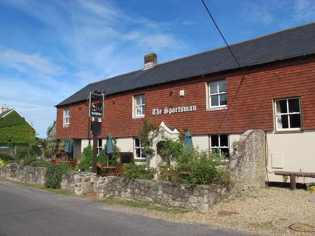
The Sportsman Inn (Amberley)
Day
6

Amberley - Bramber

Duration: 06:10 h
Distance: 22.2 km
Ascent: 360 m
Descent: 380 m

This is a long day from Amberley to Bramber, crossing open South Downs ridges before dropping towards the River Adur. The route starts low near the Arun Valley, climbs onto higher ground and then follows a broad, rolling line through chalk downland, woodland edges and quiet tracks. The final kilometres descend steadily towards Bramber, so keep a comfortable pace and save some energy for the long finish.

From Amberley, the trail climbs away from the River Arun, passing viewpoints over the South Downs and the Arun Valley before continuing towards Kithurst Hill (213 m). The route then crosses Sullington Hill (206 m) and Barnsfarm Hill (205 m), with views over the South Downs along the way. Further on, you will descend towards the outskirts of Washington before walking up to the hillfort area of the Chanctonbury Ring (242 m), one of the main landmarks of this stage. You will then follow the ridge east towards the end.

The final section descends from the downs towards the lower ground around Bramber, passing near bridleways and viewpoints above the town. You arrive to your accommodation after a full day of open ridges, historic hilltops and a long, steady approach into the valley.

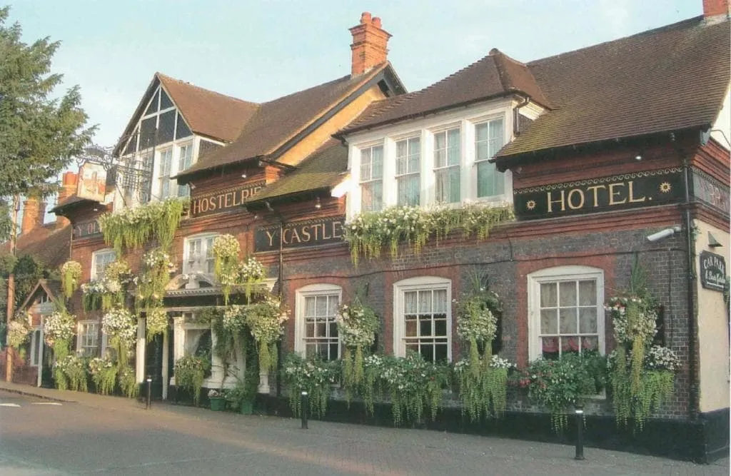
The Castle Inn Hotel (Bramber)
Day
7

Bramber - Pyecombe

Duration: 03:40 h
Distance: 12.6 km
Ascent: 370 m
Descent: 270 m

This is a shorter stage, crossing a compact but varied stretch of the South Downs from Bramber to Pyecombe. The route climbs out from the lower ground near the River Adur and then follows open downland, farm tracks and ridge paths towards the Devil’s Dyke area. It is a steady walking day rather than a long one, with enough ascent to make the first half feel active before the route eases towards Pyecombe.

Starting in Bramber, the trail passes several viewpoints and climbs beneath several hills, including Truleigh (216 m), Edburton (190 m) and Perching (176 m). It then continues through the Sussex countryside, offering more stunning views, before reaching Fulking Hill (206 m) and the Devil’s Dyke area. This is a 100-metre-deep, V-shaped dry valley with a hillfort, 360º viewpoints and historic features close to the trail.

The final section leads east from West Hill (211 m) towards Pyecombe, following tracks across open farmland and downland. You arrive in the village after a clear and varied stage, with your accommodation giving you a practical place to rest after the walk from Bramber.

Tallai House B&B (Pyecombe)
Day
8

Pyecombe - Lewes

Duration: 06:30 h
Distance: 23.4 km
Ascent: 360 m
Descent: 460 m

Today, a long stage from Pyecombe to Lewes awaits. You will start crossing open South Downs country before dropping towards the Ouse Valley. The route begins on high ground and follows rolling ridges, chalk paths and open farmland, with steady views across the surrounding hills. The profile is varied but manageable, with the main descent coming near the end as you leave the downs and approach the lower ground around Lewes.

From Pyecombe, the trail quickly detours to enjoy Jack and Jill Windmills from a near distance. Then the path heads east past Ditchling Beacon (249 m) and continues along the ridge towards Blackcap (206 m) before heading south. The route then descends through more open countryside before climbing again towards the higher ground above the town of Kingston near Lewes. From here, views open towards Lewes and the Ouse Valley, before the path begins its final descent towards the town.

The last section leads down from the downs into Lewes, passing through the outskirts and towards the town centre. You arrive after a full day of ridge walking, open views and a final descent into the valley, with your accommodation giving you a practical place to rest after the walk from Pyecombe.

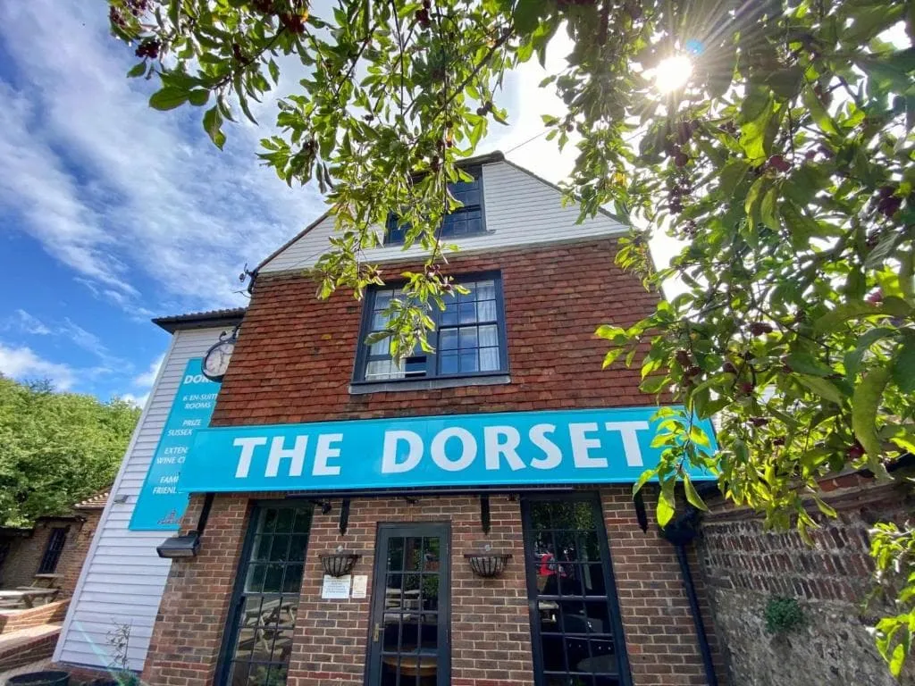
The Dorset (Lewes)
The Dorset (Lewes)
Day
9

Lewes - Alfriston

Duration: 05:50 h
Distance: 21 km
Ascent: 360 m
Descent: 360 m

Today you will be linking the River Ouse with the open South Downs and the Cuckmere Valley. The route starts low near Lewes, follows gentler ground early on, then climbs onto broader downland for the second half. It is a steady walking day with riverside sections, chalk tracks, viewpoints and open farmland before the final descent into Alfriston.

From Lewes, the route heads south and crosses lower countryside until reaching the River Ouse, with views back towards the town and the valley. After crossing Southease Bridge and the train station, the trail begins to climb more clearly onto the downs, passing viewpoints over the ridge. The higher section then follows open tracks across broad chalk country, with long views across the surrounding hills.

The final kilometres descend from the downs towards Alfriston, passing open fields and the lower slopes above the village. You arrive in Alfriston near the Cuckmere Valley, with your accommodation offering a practical place to rest after the route from Lewes.

The Alfriston (Alfriston)
Day
10

Alfriston - Eastbourne

Duration: 05:55 h
Distance: 21.1 km
Ascent: 390 m
Descent: 390 m

This is a long final walking stage from Alfriston to Eastbourne, with a classic coastal finish over the Seven Sisters and Beachy Head area. The route begins inland near the Cuckmere Valley, then reaches the coast and follows open cliff-top paths for much of the day. Expect steady walking, repeated small rises and descents, wide sea views and a memorable final section towards Eastbourne.

From Alfriston, the route heads south through the towns of Litlington and Westdean before reaching the coast near the Seven Sisters cliffs. The beautiful trail then follows the cliff-top line past viewpoints over the chalk cliffs and the sea, continuing around the headlands towards Beachy Head. Further on, the path passes viewpoints towards Eastbourne from the South Downs before gradually leaving the wilder coastal section behind.

The final approach descends towards Eastbourne, where the route enters the seafront area and finishes near the coast. You arrive after a full day of inland paths, white cliffs and open sea views, with your accommodation giving you a comfortable place to rest at the end of the route.

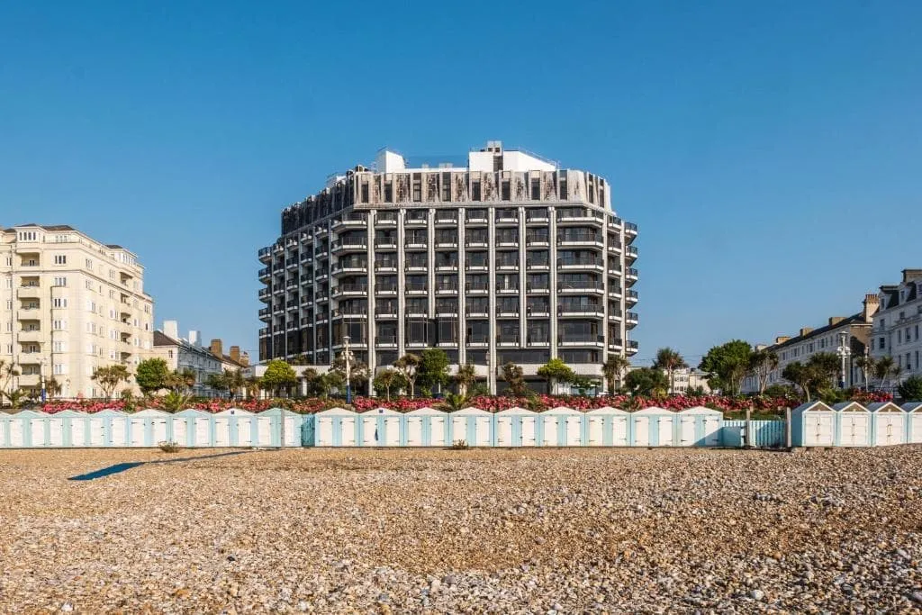
The View Hotel (Eastbourne)
Day
11

Departure day

After breakfast, your South Downs Way adventure comes to an end in Eastbourne. Take one last look at the seafront before starting your journey home. Have a safe trip back!

Contact our Trekking Expert
Anke van der Pol
Anke van der Pol
Anke van der Pol

Included

  • Accommodation

    We will arrange your accommodation on the The South Downs Way in hotels, inns, and guesthouses. Accommodation will be private in single, double or twin rooms and with en-suite bathroom where possible.

  • Full travel guide

    You’ll receive access to our trekking app, which serves as your complete digital travel guide for the The South Downs Way. Inside, you’ll find everything you need for your trek: route descriptions, hiking maps, navigation support, payment information, and all the key details specific to your journey.

  • Baggage Transfer

    This trek includes the transfer of your luggage throughout the entire The South Downs Way trek. Your bags will be picked up every morning from the hotel lobby and driven to your next accommodation. If you want to exclude this service, contact our experts after booking. This reduces the price by €7.50 per day, per person.

  • Navigation support

    Our trekking app also includes built-in navigation support. With GPS-based maps and offline access, you can follow the trail confidently and stay on route even without mobile signal.

  • Breakfast (when possible)

    We will arrange breakfast for you whenever possible. Some accommodations on the The South Downs Way, however, do not allow us to pre-book it. In those cases, you can usually request breakfast for the next morning directly at the accommodation (at your own expense), or simply enjoy one of the cafés in the area.

Excluded

  • Traveling to and from

    You have to make your own way to the starting point. The total amount does not include personal transport. This also applies to any transport from the end point of your trail.

  • Transfers

    If you require any form of public or local transport during the trek, it is not included in the package unless stated otherwise. This applies to taxis, buses, cable cars, gondolas, and similar services.

  • Travel Insurance

    Your international travel insurance is your own responsibility. Discuss your itinerary with the insurance company before your trek.

  • Lunch and Dinner

    Breakfast is, if possible, included in the price of the trek. You can get lunch and dinner at the shops, hotels, and restaurants along the way.

FAQ

  • South Downs Way: Weather and Best Season

  • Baggage Transfer during The South Downs Way

  • How to Get to the Starting Point of the Trek

  • Departure from Eastbourne

  • What if the dates I want are not available?

  • If I book now, can I immediately arrange the rest of my trip?

  • How do I know if this trek is right for me?

  • Can meals be adapted to my dietary requirements?

How to Book

  • Booking

  • Availability

  • Cancellation policy

Packing List for the The South Downs Way

  • Information

  • Essentials

  • Extras