Moderate Tour du Mont Thabor

  • Duration
    Total 5 days
    Average 7h 19min
  • Distance
    Total 86.6 km
    Average 17.3 km
  • Ascent
    Total +5200 m
    Average +1040 m
  • Descent
    Total -5210 m
    Average -1042 m

> Enjoy French and Italian cuisine in cozy mountain huts
> Take on our 5-day Tour du Mont Thabor itinerary, designed for hikers with a good fitness level and some previous mountain hiking experience
> Don't worry about booking the accommodations, we have that covered!

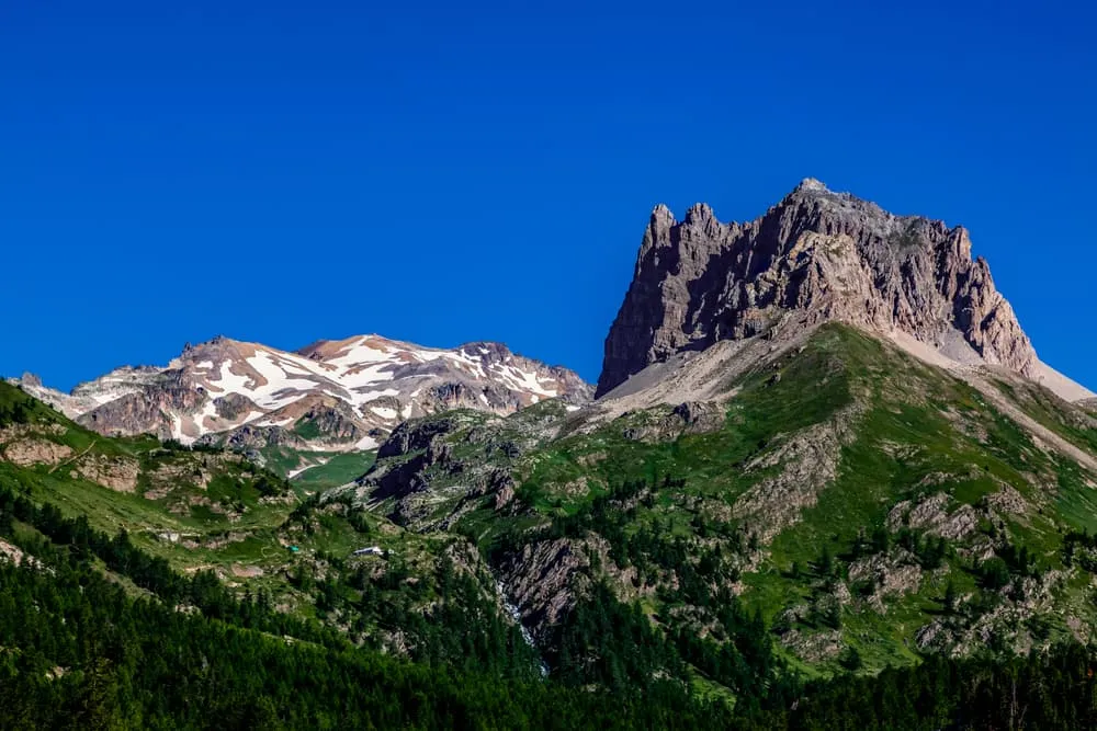
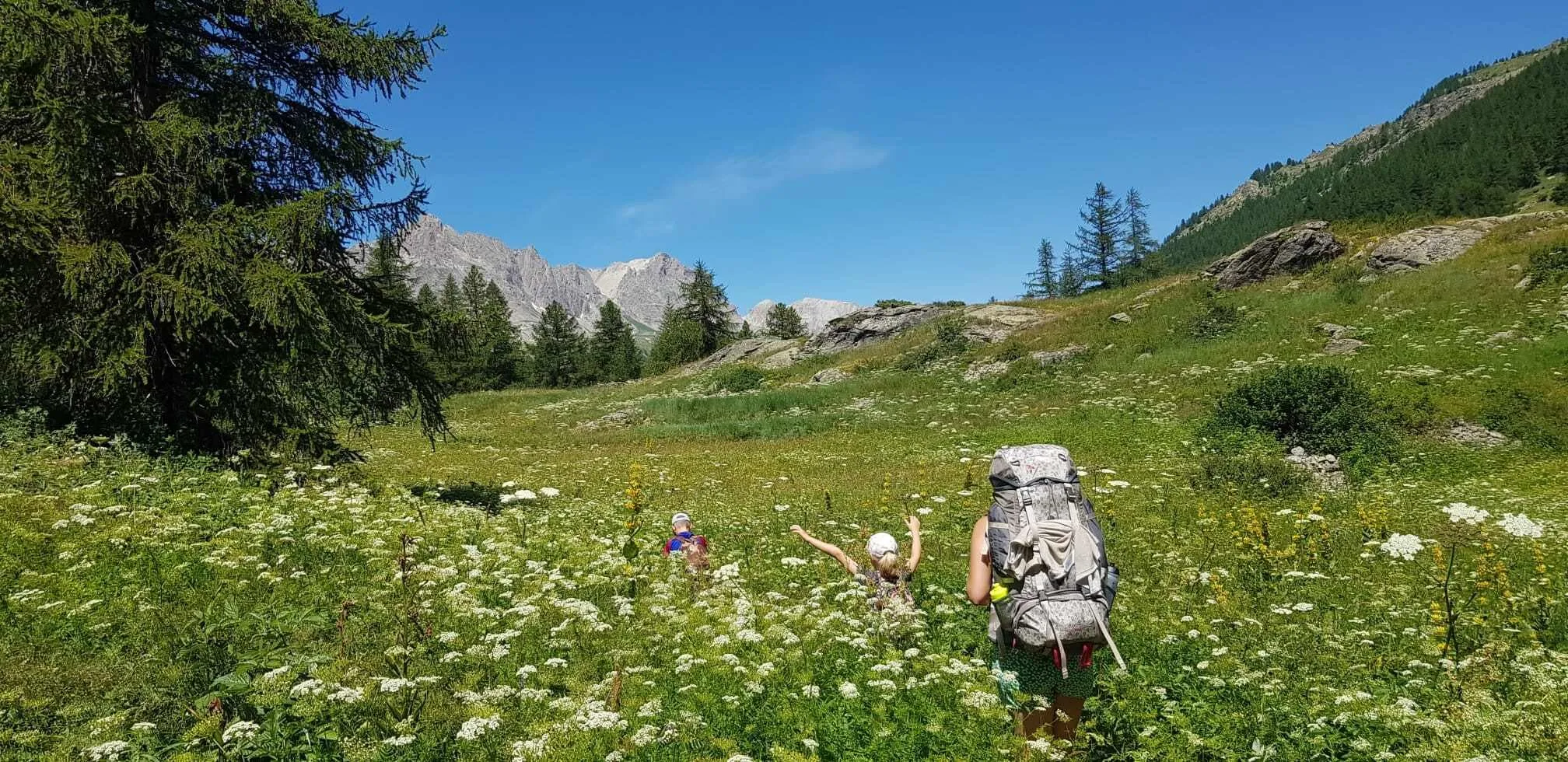
The Tour du Mont Thabor is one of the French Alps' best-kept secrets. In Vallée de la Clarée, you will find unspoiled Alpine scenery, peaceful trails, and welcoming gîtes and refuges far from the busiest trekking routes. This intermediate itinerary is suited to hikers who are comfortable with long walking days, sustained ascents and descents, and varied mountain terrain. It offers a rewarding Alpine challenge without the crowds of routes such as the Tour du Mont Blanc or the Walker's Haute Route.

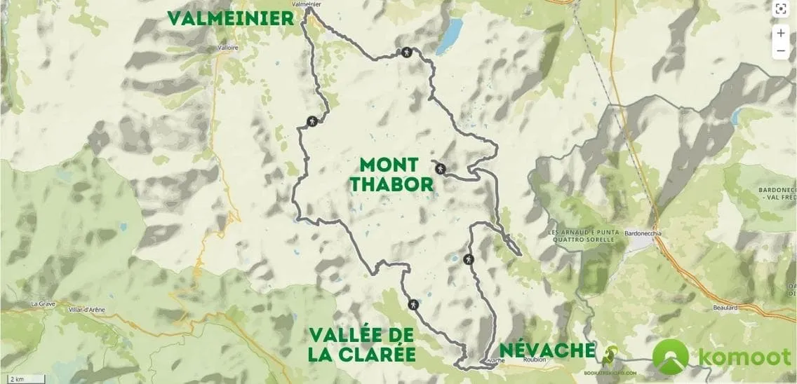
The Grande Randonnée GR57 is better known as the Tour du Mont Thabor. This route forms a loop around the lesser-known but prominent Mont Thabor in Vallée de la Clarée, part of the unspoiled Massif des Cerces in the Hautes-Alpes. The valley lies north of the fortified town of Briançon, close to the border between France and Italy. With no ski resorts or large-scale tourism, the area is especially popular with hikers, cyclists, and nature lovers.

The full circuit covers around 85 kilometers and includes more than 5,000 meters of elevation gain. Although this itinerary follows a shorter version of the route, several days are still long and physically demanding. A good level of fitness, sure-footedness, and previous experience on mountain trails are therefore strongly recommended.

Itinerary

Day
1

Névache - Refuge des Drayères

Duration: 06:50 h
Distance: 18.7 km
Ascent: 1060 m
Descent: 500 m

Starting in Névache, the route first follows the Clarée through the lower valley, passing the Névache bridge and sections of woodland. Early on, you get views towards a waterfall beside the trail, and the route also passes Lac Bleu, a small lake close to the valley floor. The surroundings are still green and forested here, but the path is already rocky and uneven in places.

The route then begins a long and steady climb through larch forest and across the mountainside. The path is often narrow, with loose stones, exposed roots and rough sections that can slow your progress. As you gain elevation, the trees gradually become more scattered and the landscape opens into alpine slopes, with increasingly wide views across the Clarée valley and the surrounding peaks.

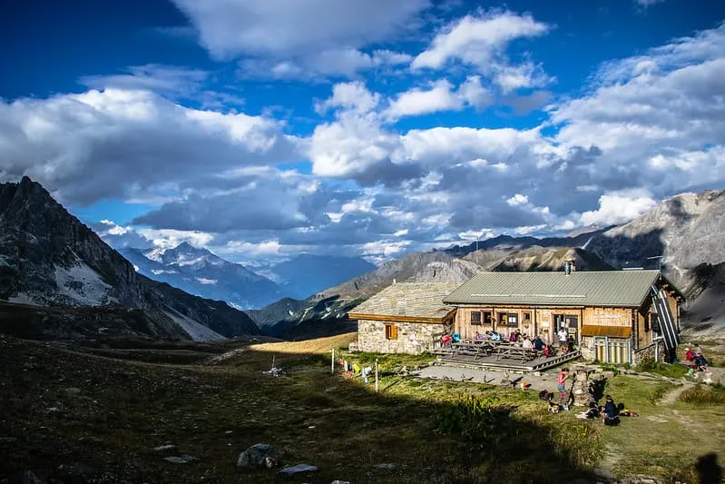
Higher up, the route continues across open and rocky mountain terrain. An out-and-back section leads to Lac Laramon, a mountain lake set below rugged slopes. After visiting the lake, you return along the same path and continue climbing across exposed plateaus and stony trails. The final section passes through a broad high-mountain landscape before descending towards Refuge des Drayères. With its length and more than 1,000 metres of ascent, this is a demanding first day, so an early start is strongly recommended.

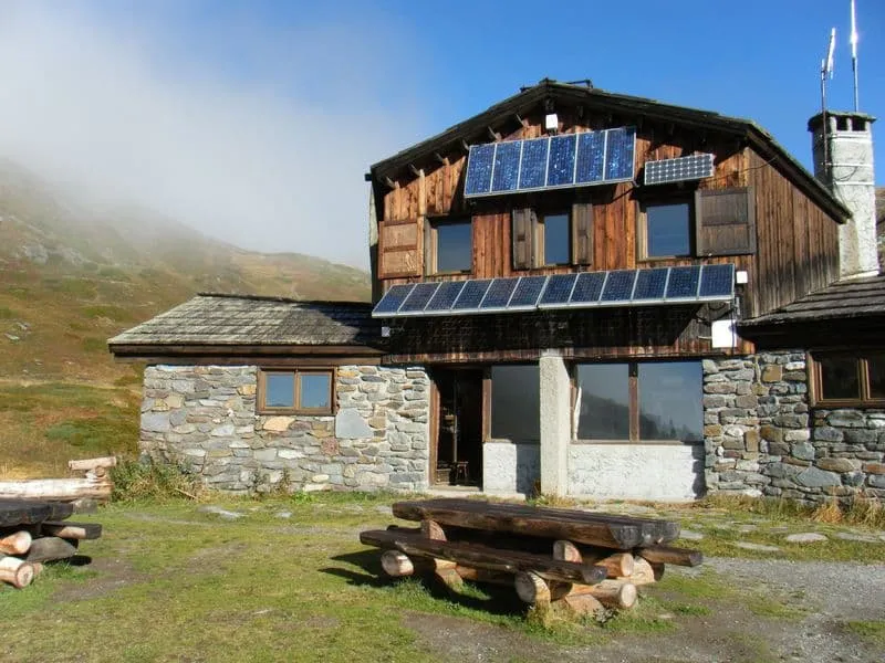
Refuge des Drayères

Info
Refuge des Drayères
Refuge des Drayères
Day
2

Refuge des Drayères - Valmeinier

Duration: 08:30 h
Distance: 22.5 km
Ascent: 1030 m
Descent: 1410 m

Today is the longest and one of the most demanding days of the trek, covering 22.5 kilometres with more than 1,000 metres of ascent. Expect a full day in the mountains, with sustained climbs and long descents. A good level of fitness, sure-footedness, and an early start are strongly recommended.

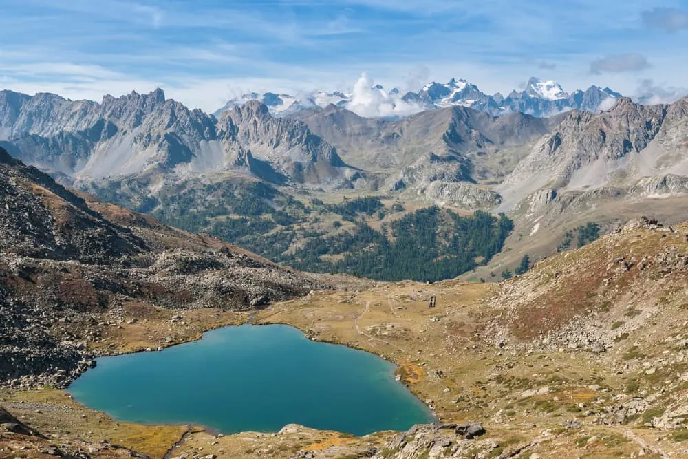
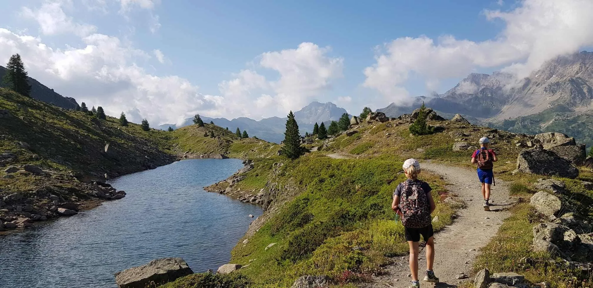
From Refuge des Drayères, the route leads through varied Alpine terrain, crossing streams and passing a series of mountain lakes. You first reach Lac de la Clarée, followed by Lac Rond and Lac du Grand Ban. Later, the trail passes Lac Vert, known for its striking blue-green colour.

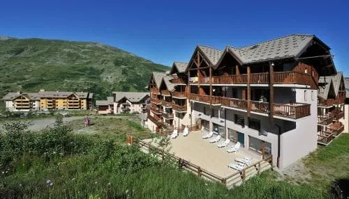
The lakes and surrounding mountain scenery make this a particularly beautiful part of the route, but the length of the day and the considerable elevation changes should not be underestimated. After the final descent, you reach the small village of Valmeinier, where you will spend the night in a comfortable mountain hotel.

Hôtel Club Les Carrettes (Valmeinier)

Info
Hôtel Club Les Carrettes (Valmeinier)
Day
3

Valmeinier - Refuge du Mont Thabor

Duration: 07:45 h
Distance: 15.6 km
Ascent: 1490 m
Descent: 780 m
A tough day at the office today. With almost 1,800 meters vertical meters, your legs will get a good beating. This is because Col des Marches is on the schedule for today. Your long ascent will be rewarded with a quick dip to refuge, which has the same name. Here you can recharge your batteries for the next col; Col de Battalières. From the top you have fantastic views over de surrounding peaks and lakes of Sainte-Marguerite. Two hundred meters of elevation lie between you and the hospitable Refuge du Mont Thabor. Well done, grab a beer!

Refuge du Mont Thabor

Info
Refuge du Mont Thabor
Day
4

Refuge du Mont Thabor - Les Granges de la Vallée Étroite

Duration: 07:15 h
Distance: 16.4 km
Ascent: 770 m
Descent: 1490 m
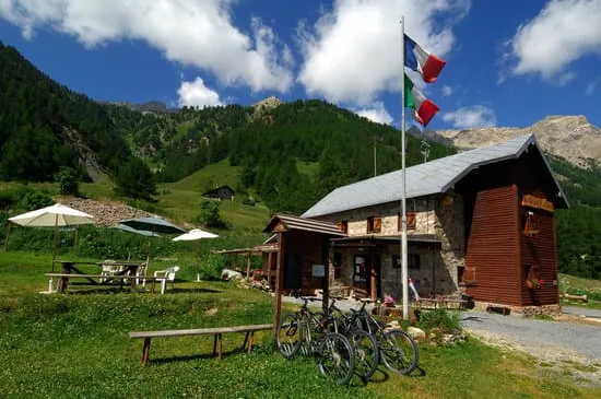
Today, you have the option to tag the peak of Mont Thabor, but this is not the goal of GR57. After all, it's a tour. The full stage, including the summit, takes around 7 hours in total. If you still have legs after yesterday’s hike, climbing Mont Thabor is definitely worth the effort, with endless views over the Vanoise and the Écrins. If you prefer to skip the summit and continue directly towards Les Granges de la Vallée Étroite, the route will be about 4 hours shorter.

Refuge Terzo Alpini

Info
Refuge Terzo Alpini
Refuge Terzo Alpini
Day
5

Refuge Terzo Alpini - Névache

Duration: 06:15 h
Distance: 13.4 km
Ascent: 850 m
Descent: 1030 m

The final day starts near Les Granges de la Vallée Étroite, following the valley through open meadows and scattered trees. After leaving the valley floor, the route passes Saint Michael Chapel, a small stone chapel set in the open mountain landscape, before the main climb begins.

The path then climbs steadily through forested terrain. Higher up, the trees gradually thin out and the surroundings become more open and rocky. The route continues across the mountainside towards Col du Vallon, a high mountain pass with wide views towards both the Italian and French sides of the massif.

From Col du Vallon, the long descent towards Névache begins through open, rocky high-mountain terrain. As you lose elevation, the landscape gradually becomes greener and the trail enters forested slopes. Near the end of the route, you cross a bridge over a mountain stream before continuing into Névache. With around 850 metres of ascent and more than 1,000 metres of descent, this remains a demanding final day and should not be underestimated.

Contact our Trekking Expert
Daphne Hendriks
Daphne Hendriks
Daphne Hendriks

Included

  • Full travel guide

    You’ll receive access to our trekking app, which serves as your complete digital travel guide for the Tour du Mont Thabor. Inside, you’ll find everything you need for your trek: route descriptions, hiking maps, navigation support, payment information, and all the key details specific to your journey.

  • Accommodation

    During your Tour du Mont Thabor, you will spend your nights in mountain huts and a hotel. In the huts, you will stay in dormitories, as private rooms are not available. At the hotel, you will stay in a private room.

  • Meals (where possible)

    In the mountain huts half-board (breakfast and dinner) is included. Breakfast (if possible) is included in the hotel and hostels along the way.

  • Navigation support

    Our trekking app also includes built-in navigation support. With GPS-based maps and offline access, you can follow the trail confidently and stay on route even without mobile signal.

Excluded

  • Traveling to and from

    You have to make your own way to the starting point. The total amount does not include personal transport.

  • Transfers

    Should you need any form of (public) transport on location, this is not part of the trekking package. This includes the use of taxi, bus, cable cars, gondolas, ferries, etc.

  • Lunch

    Half-board is included in the price of this trek. Lunch, however, is not. Many huts offer packed lunches, which can usually be requested the night before. Alternatively, you can stop for lunch at mountain huts along the way.

  • Travel Insurance

    Your international travel insurance is your own responsibility. Discuss your itinerary with the insurance company before your trek.

  • Personal expenses

    Personal expenses on such as souvenirs, drinks, and other similar expenses are for your own account.

FAQ

  • What Is the Best Season for The Tour du Mont Thabor?

  • Getting to Névache

  • What if the dates I want are not available?

  • If I book now, can I immediately arrange the rest of my trip?

  • How do I know if this trek is right for me?

  • Can meals be adapted to my dietary requirements?

How to Book

  • Booking

  • Availability

  • Cancellation policy