Hiking in the Allgäu: the finest regions, trails and multi-day tours

Hiking in the Allgäu: the finest regions, trails and multi-day tours
Trekking experts per destination
Free cancellation up to eight weeks in advance
Quick personal advice

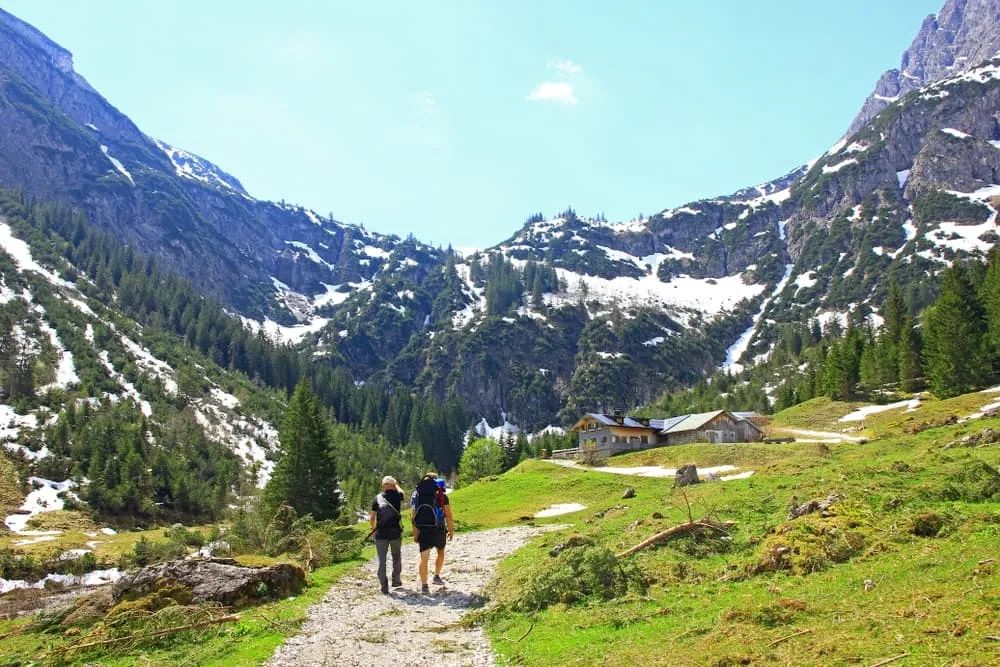
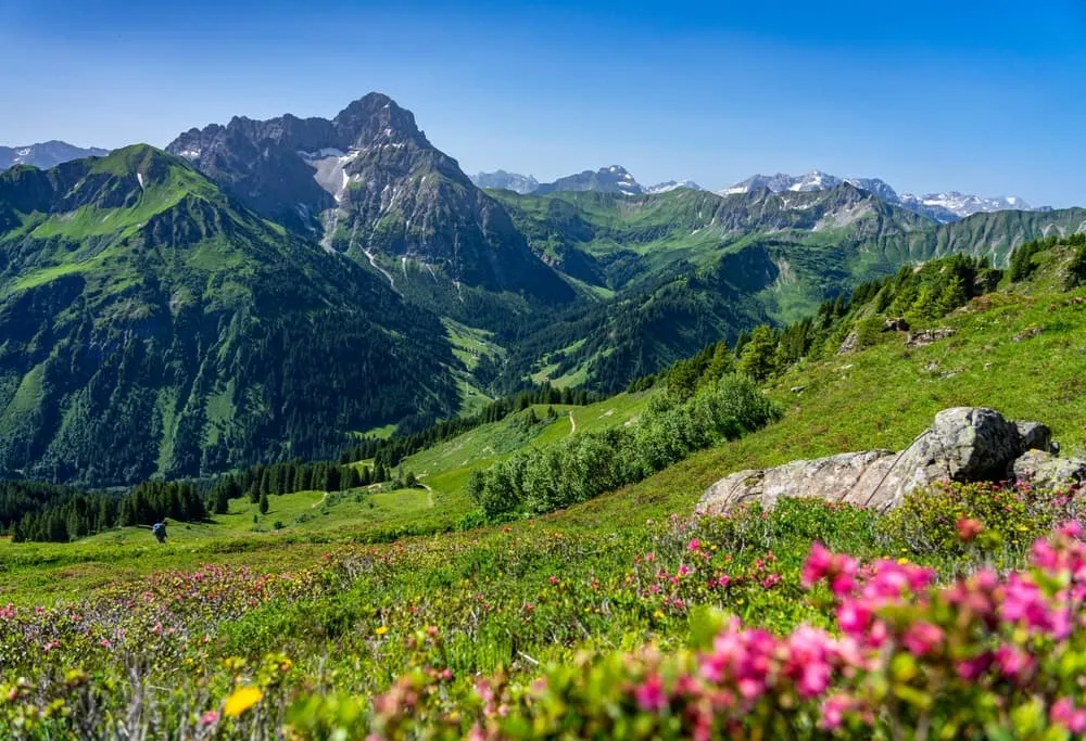
The Allgäu isn't a single, uniform hiking area, and that's exactly what makes it special: hiking in the Allgäu can mean strolling along grassy ridges with views of Lake Constance, walking through a deep rocky gorge, spending days moving from hut to hut in the high Alps, or taking a cable car up to an alpine pasture with young children in tow. Which of these faces you encounter depends almost entirely on which sub-region you start from. The Allgäu High Alps around Oberstdorf with the Nebelhorn and Fellhorn and long valleys, the grassy Nagelfluh chain between Oberstaufen and Immenstadt, the Hörner villages in the Oberallgäu, the Ostallgäu around Füssen and Pfronten with the Tegelberg and its lake views, and the Westallgäu as hilly pre-Alpine country: these are five very different hiking characters within one region.

For many people, the Allgäu is the most obvious Alpine region of all: a dense network of huts, cable cars on almost every ridge, and a short journey from Munich, Stuttgart and Ulm. At Bookatrekking we offer a bookable multi-day tour from Oberstdorf into the Kleinwalsertal, with organised overnight stays, a GPX track, offline map and a weather forecast for each stage in our app. Beyond that, this guide will help you work out which of the well-known hut tours suits you, and which sub-region makes the best starting point. This guide covers: a comparison of the sub-regions, multi-day tours, day tours, difficulty, best time to go, accommodation, and an honest guide to choosing.


What makes hiking in the Allgäu special

The particular appeal of hiking in the Allgäu lies in how quickly the scenery changes: within a single day, the landscape can shift from green, pasture-shaped pre-Alpine country, over soft Nagelfluh ridges, into rocky high Alps. That makes the region just as interesting for beginners as for experienced mountain walkers. What makes the Allgäu work so well as a hiking area is a tight network of working alpine pastures and mountain huts, cable cars almost everywhere, consistently good waymarking, and transport links that make genuine point-to-point walks possible without a car.

Anyone dreaming of a walking holiday in the Allgäu often pictures the high Alps: the Nebelhorn, the Heilbronner Weg, rocky ridges. That's one side of it. The other is the gentle pre-Alpine hills of the Westallgäu, gorges and ravines across the whole area, mountain lakes in the Ostallgäu, and the long ridgeline of the Nagelfluh chain. There's no single level of difficulty when it comes to hiking in the Allgäu Alps, only a choice of area. Compared with Berchtesgaden, the Allgäu is greener and softer; compared with Tyrol, it's more densely served with infrastructure and offers a broader range for every fitness level. That's not a value judgement, just a difference in character.


Oberallgäu, Ostallgäu or Westallgäu: which side should you start from?

What matters isn't where the Allgäu sits on the map, but which access point leads into which area. Oberstdorf is the gateway to the high Alps: from here you can reach the Nebelhorn, Fellhorn, Oytal, Stillachtal and Trettachtal, and this is where the best-known hut tours in the Allgäu Alps begin. Oberstdorf is on the railway and easy to reach without a car. Oberstaufen and Immenstadt open up access to the Nagelfluh chain and the Hochgrat. The Hörner villages – Fischen, Bolsterlang, Ofterschwang, Obermaiselstein and Balderschwang – lie in the Oberallgäu and are best suited to gentler grassy mountains and alpine pasture walks. Füssen and Pfronten give access to the Ostallgäu, with the Tegelberg, Breitenberg, Aggenstein and the well-known lakes. Lindenberg and Scheidegg are the gateways to the Westallgäu, the hilly pre-Alpine country by Lake Constance.

Oberstdorf, Immenstadt, Sonthofen and Füssen are all reachable by rail; valley stations and cable cars are linked by regional buses. Behind the main Allgäu ridge lies Tyrol and the Lechtal. The Kleinwalsertal is politically part of Vorarlberg but can only be reached via Oberstdorf, which is why most hikers think of it as part of the Allgäu. For point-to-point walks, where you end up somewhere different each evening, Oberstdorf's rail connection is the decisive advantage: you can take the train back rather than needing a second car at the finish.


Hiking in the Allgäu: the finest sub-regions compared

The best hikes in the Allgäu depend almost entirely on which of the five sub-regions you're exploring. Here's an honest comparison.

Oberstdorf and the Allgäu High Alps

Anyone searching for hiking in Oberstdorf usually means the Allgäu High Alps at their most concentrated: the Nebelhorn and Fellhorn, with cable cars offering a starting point for ridge walks; the long Oytal valley with a mountain inn at its far end; the Stillachtal and Trettachtal as quieter alternatives; the Breitachklamm as a spectacular option for bad weather; and several mountain lakes, of which the Seealpsee is the best known. On a hike from the Nebelhorn cable car above Oberstdorf, you start from the upper station at over 2,000 metres, with a panorama stretching deep into the Alps from your very first step. For multi-day hikers, Oberstdorf is the classic starting point: the Heilbronner Weg and the Oberstdorf hut circuit both begin here, as does the well-known Alpine crossing heading south. Compared with the Nagelfluh chain, Oberstdorf is rockier, higher and more demanding.

Nagelfluh chain and Hochgrat

The Nagelfluh chain is a long, grassy ridge running from Oberstaufen to Immenstadt, with the Hochgrat as its highest point. What sets it apart is openness rather than rock: on a clear day, you'll see Lake Constance on one side and the snow-capped high Alps on the other. The Nagelfluhkette Nature Park protects this landscape and the wildlife that roams here. The ridge is long enough for a walk of several hours, with plenty of short counter-ascents along the way. For hikers who want Alpine openness without venturing into high-mountain rocky terrain, the Nagelfluh chain is the first choice. Compared with Oberstdorf, it's considerably more accessible and less exposed.

The Hörner villages in the Oberallgäu

Fischen, Bolsterlang, Ofterschwang, Obermaiselstein and Balderschwang together make up the Hörner villages, an area of rounded grassy mountains, alpine farming and wide views over the pre-Alpine landscape. The Riedberger Horn is the best-known summit. The paths here are well marked, ascents are rarely exposed, and there's a working alpine hut waiting on almost every ridge. The Hörner villages are the top choice for beginners, families and anyone after a relaxed walking week without needing Alpine experience. Compared with the Nagelfluh chain, the routes here are somewhat shorter with less total ascent; compared with Oberstdorf, they lack the high-Alpine experience.

Ostallgäu: Füssen, Pfronten and the Tegelberg

In the Ostallgäu, the mountains combine with a strikingly dense lake landscape: the Forggensee, Alpsee and the lakes around Füssen all lie at the foot of the Tegelberg and Säuling. The Tegelberg is reachable by cable car and offers starting points for walks with the King's Castles as a backdrop. The Pfronten mountains, with the Breitenberg and Aggenstein, are somewhat more demanding and lead towards the Tannheimer Tal, which lies on the far side of the ridge in Tyrol. The Ostallgäu is a good choice for anyone wanting to combine mountain walks with lake scenery. Compared with Oberstdorf, the routes are shorter and less high-Alpine; compared with the Hörner villages, they're more varied thanks to the mix of mountain and lake.

Westallgäu: pre-Alpine country between Lindenberg and Scheidegg

The Westallgäu is the calmest face of the region: gentle hills, moorland, woods and the Scheidegg waterfalls as a natural highlight. On very clear days, the view extends as far as Lake Constance. Paths in the Westallgäu don't demand any Alpine fitness and suit relaxed day trips. Anyone looking for a base from which to walk both into the Allgäu and towards Lake Constance will find a good option here. Compared with all the other sub-regions, it entirely lacks a high-mountain character.



Multi-day tours in the Allgäu: from hut circuits to a walking week

When it comes to hut-to-hut hiking in the Allgäu, there are two fundamentally different experiences: a classic hut tour takes you from Alpine Club hut to Alpine Club hut, sleeping in dormitories or rooms and carrying everything yourself. A tour with valley accommodation means a guesthouse or hotel each evening, sometimes with luggage transfer. If you're looking for the right option, it's worth deciding this in advance.

The Oberstdorf hut circuit and the Heilbronner Weg are the region's two classics whenever someone searches for a three-day hut tour in the Allgäu. The Oberstdorf hut circuit links up the high Alps around Oberstdorf at a manageable level of difficulty. The Heilbronner Weg is more high-Alpine, with secured sections and a requirement for solid sure-footedness. Both are excellent routes. We don't currently offer them as a bookable package. If you're planning one yourself, our overview of hut tours in the Bavarian Alps is a good place to start.

Our own tour in the Allgäu is the four-day walk from Oberstdorf into the Kleinwalsertal: four days, 38.3 kilometres in total, with the longest daily stage covering 13.3 kilometres. It runs from Riezlern to the Fiderepass hut (Day 1: 5 km), on to the Hotel Adler (Day 2: 13.3 km), to the Alpenhotel Widderstein (Day 3: 7.5 km) and back to Riezlern (Day 4: 12.5 km). You stay in organised accommodation without having to make any bookings yourself. All the services, dates and prices are on the Kleinwalsertal walking tour product page. The Bookatrekking app delivers the GPX track, offline map and current weather forecast for each stage location straight to your phone.

If you're looking beyond the main Allgäu ridge towards the south, our guide to the finest trekking routes in Austria makes a good next step. The full range of walking holidays in Germany is shown on the overview page for your walking holiday in Germany.


The Kleinwalsertal in brief

The Kleinwalsertal is a high valley that belongs politically to Vorarlberg but can only be reached by road from Oberstdorf. That's why most hikers think of it as a natural part of the Allgäu. The villages of Riezlern, Hirschegg, Mittelberg and Baad sit one after another along a narrow, green valley, with cable cars on both sides and a dense network of alpine pastures and huts. The valley feels quieter and more unspoilt than the valley areas right around Oberstdorf. Our four-day tour leads straight into this valley. Stages, services, dates and all the details of the Kleinwalsertal walking tour from Oberstdorf are on the product page.


Day tours in the Allgäu: cable cars, circular routes and easy walks

The principle that makes the Allgäu so good for day tours is this: almost everywhere, a cable car will carry you up, so you start on the ridge, at an alpine pasture or at a viewpoint, and walk a circuit or a descent from there. That's why searches for easy walks around Oberstdorf and family-friendly hikes in the Allgäu are so common. If you stay mobile and base yourself in one place, running several day tours from there, you don't need a car at all.

Five examples that show the range of day tours on offer: the Nebelhorn circuit near Oberstdorf starts at the upper cable car station above 2,000 metres and offers immediate long-distance views into the high mountains. The Breitachklamm is the region's best bad-weather destination: the deepest rocky gorge in central Europe is impressive even in the rain. The Hochgrat ridge from Oberstaufen rewards anyone after openness rather than rock. At the Tegelberg near Füssen, walks begin with a cable car ride and the King's Castles in the background. An alpine pasture walk in the Hörner villages leads through grazing land dotted with mountain inns and requires no Alpine preparation.

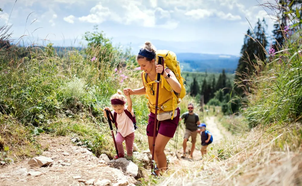
Hiking in the Allgäu with children: the cable car solves the biggest problem with family walks, lifting children up to a height from which a short circuit to an alpine pasture or mountain lake becomes possible without a long climb. Gorges such as the Breitachklamm feel like a real adventure for children. Pushchairs are only realistic on surfaced valley paths; they're not suitable on cable car ridge routes or in the high Alps. For younger children, the Hörner villages and the Nagelfluh chain suit better than the high-Alpine area around Oberstdorf. Hiking in the Allgäu with children works best when stages stay short and a place to stop for refreshments serves as the day's destination.

Easy walks around Oberstdorf: the simplest routes near Oberstdorf run along the valley floors: the Stillachtal, Trettachtal and Breitachtal all offer flat or gently rising paths with no Alpine demands. The circuit through the Oytal is a classic example of a walking day that needs little ascent yet still delivers an impressive mountain panorama. The high-level routes up on the Nebelhorn and Fellhorn, by contrast, are only "easy" for hikers with reasonable base fitness and sure footing on scree. "Easy" in the high mountains never means the same thing as "easy" in the pre-Alpine country.

Hiking in the Allgäu with a dog: most paths in the Allgäu are open to dogs. Around grazing livestock, especially cows with calves, the rule is: keep your dog on a lead, keep your distance, and go around the herd if necessary. In nature reserves, including parts of the Nagelfluh chain and the Allgäu High Alps, dogs must be kept on a lead. Cable cars and staffed huts have their own dog policies, which vary from place to place. If you book our tour and plan to bring a dog, let us know when booking.


How hard is hiking in the Allgäu – and who is it suited to?

Difficulty when hiking in the Allgäu depends almost entirely on which area you choose. In the pre-Alpine country and the Hörner villages you need fitness rather than Alpine technique: well-maintained paths, rarely exposed sections and manageable height differences. The Nagelfluh chain is more demanding on your fitness than it looks: the long ridge, with its many short counter-ascents, adds up over the course of a day. The high Alps around Oberstdorf demand sure-footedness on scree and old snow, particularly on north-facing slopes well into early summer. High-level routes such as the Heilbronner Weg additionally require a head for heights. This can't be made up for with mountaineering training: if you don't already have it, choose your route accordingly in advance.

Pitfalls that hikers often underestimate: wet grassy slopes are more slippery than rocky terrain; old snow lingers on north-facing slopes until June; thunderstorms in summer often build up in the early afternoon (an early start pays off); and grazing livestock on Alpine paths call for attention, especially with a dog.

Which area suits whom: beginners will find a safe base in the pre-Alps and on the valley paths around Oberstdorf. Families with children aged roughly eight to ten can tackle moderate ridge walks using a cable car; with younger children, a cable-car circuit at alpine-pasture level works well. Experienced mountain walkers belong in the high Alps around Oberstdorf. Our four-day tour from Oberstdorf into the Kleinwalsertal has a longest daily stage of 13.3 km with a moderate overall profile. It's suitable as a first Alpine multi-day tour; the exact requirements are set out on the Kleinwalsertal walking tour page.


Best time to go hiking in the Allgäu

May and June bring green alpine meadows, blossom in the valleys and pre-Alps, and long days. On north-facing slopes in the high Alps, old snow can still linger, and many Alpine Club huts don't open until June. If you set off early in the season, check hut opening dates in advance and find out about current trail conditions.

July and August are peak season: all cable cars and huts are running, all the well-known routes are walkable, and every alpine pasture is in operation. The Nebelhorn and the Breitachklamm are busy at this time. If you're after solitude, start early in the morning. A tendency towards afternoon thunderstorms is a structural feature of summer here, meaning you should be somewhere sheltered by early afternoon.

September and early October are, for many, the best time of all: settled weather, very clear long-distance views, noticeably fewer people on the trails, and the alpine cattle drives down from the pastures as an added highlight. Huts close at various points through October; this varies from hut to hut and should be checked before your trip.

November to April aren't really a hiking prospect in the high Alps. In the pre-Alpine country and on the valley paths of the Hörner villages and the Westallgäu, walking is possible depending on snow cover. Winter walks on suitable paths with the right footwear can be lovely, but that's a different kind of undertaking altogether.

Our tours run during the summer season; current dates are on the product page. The Bookatrekking app shows the current weather forecast right for the location of each hut or place you're staying, based on precise coordinates. This is especially useful on multi-day tours, since the weather in the valley and the weather up on the ridge can differ considerably.


Accommodation and luggage transfer in the Allgäu

There are two fundamentally different types of accommodation for hikers in the Allgäu: Alpine Club huts and staffed alpine pastures up in the mountains, with dormitories or simple rooms, a hut sleeping bag and half board, and guesthouses, hotels, pensions and holiday flats down in the valleys and villages. During peak season, especially July and August, huts on popular routes such as the Heilbronner Weg fill up quickly. If you're planning your own trip, book several months ahead.

The type of accommodation makes a real difference when it comes to your rucksack: on hut tours you carry everything yourself, while on tours with valley accommodation, some providers offer luggage transfer. On our four-day walk from Oberstdorf into the Kleinwalsertal, you stay in organised accommodation; all the services and conditions are set out transparently on the Kleinwalsertal walking tour product page. The Bookatrekking app supports every stage with an offline map, GPX track and the current weather for each overnight location. If you'd also like to compare hut tours across the whole of the Bavarian Alps, our guide to the finest hut tours in the Bavarian Alps gives a good overview.


Which tour suits you? Hiking in the Allgäu by time budget

Tour Days Who it's for Character Book
Kleinwalsertal walking tour from Oberstdorf 4 A first multi-day tour in the Alps, or a short walking holiday Allgäu High Alps and a green high valley, with organised overnight stays Product page

Current prices, dates and full details of what's included are on the relevant product page.

A guide to choosing, by situation:

Your first Alpine multi-day tour, or limited time: our four days from Oberstdorf into the Kleinwalsertal offer an organised framework with no booking stress. You'll know in advance where you're sleeping, and you'll have the route in the app.

An experienced hut walker wanting to plan the Oberstdorf hut circuit or the Heilbronner Weg yourself: we don't currently have a package for this. Our overview of hut tours in the Bavarian Alps will help with planning.

Day tours only: choose a base in Oberstdorf, Oberstaufen or Füssen and use cable cars and buses to reach different areas each day. No car is needed if your base is well chosen.

Heading further south into the Alps: if you're looking beyond the Allgäu, our guide to the finest trekking routes in Austria is the natural next step.

On navigation: waymarking in the Allgäu is very good. For multi-day tours, though, we still recommend a GPX track and offline map in the Bookatrekking app, since sudden weather changes, path diversions and waypoints can sometimes catch you out during peak season. The full range of walking holidays in Germany, organised step by step by region and difficulty, is shown on the overview for your walking holiday in Germany.


Frequently asked questions about hiking in the Allgäu

  • What are the best hidden gems for hiking in the Allgäu?

    The Westallgäu between Lindenberg and Scheidegg is walked far less than Oberstdorf or the Nagelfluh chain: quiet moorland paths, the Scheidegg waterfalls and wide pre-Alpine views without the crowds. In the Hörner villages, the paths away from the Riedberger Horn are worth seeking out, and on the Nagelfluh chain the sections beyond the Hochgrat are noticeably quieter.

  • Which hike in Oberstdorf is the most beautiful?

    That depends on what you're after: the Nebelhorn circuit offers the wildest Alpine panorama, straight from the upper cable car station. The Oytal is the quietest and most impressive valley walk, with tall rock faces at its far end. The Breitachklamm is the most exciting option for bad weather. All three are classic contenders for the most beautiful walk around Oberstdorf.

  • What hidden gems are there in Oberstdorf?

    Oberstdorf's large valleys, the Stillachtal and Trettachtal, see far fewer visitors than the cable-car summits. If you set off early and follow one of the stream valleys instead of heading to the Nebelhorn cable car, you'll experience a noticeably quieter side of the region. Early starts are generally worth it during peak season.

  • Which hiking area in the Allgäu is the most beautiful?

    There's no single ranking, but there is a clear match by type: if you want rock and high mountains, Oberstdorf is the place. If you're after openness and ridge walks with views of Lake Constance, head to the Nagelfluh chain. If you want to combine walking with lake scenery, choose the Ostallgäu around Füssen. If you're after peace and quiet without Alpine demands, you'll find it in the Westallgäu.

  • Where in the Allgäu is hiking at its best?

    By season: September is close to the best time everywhere, since the light is clearer, the paths are quieter, and visibility can reach as far as Lake Constance. By ability: beginners find the Hörner villages especially rewarding, while experienced walkers prefer the high Alps around Oberstdorf. The guide to choosing further up this page can help with your decision.

  • When is the best time to go hiking in Oberstdorf?

    The best time for walks around Oberstdorf is summer through to early autumn, roughly from late June to early October. For the high Alps and hut routes, wait until the snow has melted on north-facing slopes, which happens somewhere between mid-June and early July depending on the year. September and early October generally offer the most settled weather and the clearest long-distance views.

  • Is hiking around Oberstdorf hard?

    Valley paths and gorges are easy to moderate and need no Alpine experience. Cable-car circuits on the Nebelhorn or Fellhorn are moderate: reasonable fitness and sturdy footwear are enough. High-level routes such as the Heilbronner Weg and Alpine ridge tours demand sure-footedness on scree and, on some sections, a head for heights. None of the classic hiking routes require technical climbing.

  • Which three-day hut tour runs through the Allgäu?

    The Oberstdorf hut circuit and the Heilbronner Weg are the two classics that answer this search. Both run through the Allgäu High Alps and call for Alpine experience; the Heilbronner Weg additionally requires a head for heights. We don't offer either as a bookable package. If you'd like to book an organised multi-day tour, our four-day Kleinwalsertal walking tour from Oberstdorf is a good alternative; our guide to hut tours in Germany gives a broad overview of hut tours across the Bavarian Alps.


    The Allgäu is big enough for a lifetime of hiking, and this guide is here to help you decide, not to sum up the region. If you're looking for the next step: the overview for your walking holiday in Germany shows all our bookable tours at a glance. For hut tours across the whole of the Bavarian Alps, it's worth a look at our guide to the finest hut tours in the Bavarian Alps. And if you want to use the main Allgäu ridge as a launchpad for walking further into Austria, our guide to the best trekking routes in Austria opens up the next horizon. The neighbouring regions just beyond the main ridge, Vorarlberg with the Bregenzerwald and the Lechtal in Tyrol, are easily reached from Oberstdorf and deserve a walking holiday of their own.

Packing List for the Kleinwalsertal

It doesn't matter where you are trekking or for how long: carrying the right equipment with you is paramount. For a hiking trip in the mountains, a good is backpack essential. Its size will depend on how many days you will be spending in the mountains, the season, and the clothes you will be taking with you. We have prepared a packing list with some essential clothing that you should include and some extras that you may find useful:
  • Essentials

  • Extras

Safe Hiking Tips for the Kleinwalsertal

When hiking, it is wise to be aware of a few points. Even if this is not your first time, you should never underestimate the mountains. Good tour planning and compliance with the regulations in the mountains will significantly increase safety. To ensure that your hiking adventure is a safe and enjoyable experience, here below you can find a list of 8 recommendations for safe hiking in the mountains:
  • Know your limits

    Hiking the Kleinwalsertal is the perfect outlet to escape from daily life. It is an endurance sport along with a beautiful nature experience with a positive effect on body and mind —as long as one is in good shape and has a realistic picture of one's possibilities and limits—. Never overestimate yourself or underestimate the route. Don't overdo it! Always choose the slower option and take more time for your plans. Hiking under time pressure is not fun and at too fast a pace it can be dangerous. Be wise!

  • Plan carefully

    Good planning is half the work! Hiking maps, literature, the Internet and expert advice are invaluable when planning the route of the Kleinwalsertal and enable you to determine the length, altitude difference, difficulty and conditions of the hike. When planning group treks, the itinerary should always be planned for the weakest member of the group! The weather in the mountains can change incredibly quickly and rain, wind and cold all increase the risk factor. For this reason, always check the weather forecast beforehand and contact our trekking experts to find your way before you start.

  • Be fully equipped

    Equipment is everything. In the most extreme case, it makes the difference between life and death, and in any case, it definitely makes the difference between having fun and having a bad time. Food and water, sunscreen and waterproof and warm clothes must always be in your backpack, as well as a first aid kit and a mobile phone with a full battery (in case there is an emergency). However, packing light makes hiking easier, so don't take too much extra luggage with you. Your equipment should always be suitable for the terrain you'll be hiking on in the Kleinwalsertal.

  • Wear suitable footwear

    Good walking shoes protect your feet and provide a better fit. Shoes with a good fit, with non-slip soles, water-resistant and lightweight are a must for additional walking pleasure during the Kleinwalsertal. Trail running shoes are great for a weekend in the mountains, but on longer hikes or more technical trails, you'll want at least A/B hiking boots. That means it is recommended wearing high mountain shoes that are water-repellent with extra ankle support to prevent sprains.

  • Stay on marked trails

    Kleinwalsertal has endless marked hiking trails, which are controlled and maintained and should not be deviated from. It may be tempting, but it's not a good idea to take shortcuts or alternative routes through unmarked terrain. It increases the risk of disorientation and you're more likely to get lost and have accidents or fall in the mountains. Even steep slopes of packed old snow are often underestimated and dangerous. Are you in doubt? Better don't do it. For easy navigation we work with our trusted partner Komoot, whose interactive maps, also available offline, provide you with the necessary digital means to get from A to B. As a backup, make sure to bring a hiking guide or a paper map with you. FYI, 75% of stumbles occur due to carelessness on marked paths or roads, not in open terrain!

  • Take regular breaks

    Remember you're on a hiking trip. Timely and regular breaks not only provide welcome relaxation but also make it possible to enjoy the Kleinwalsertal. The body needs a regular food and drink intake to maintain performance and concentration. Our advice is that if you have little time, it's better to follow the short itinerary than to speed up the long one.

  • Stay reachable

    If you are hiking solo or in small groups it is advisable to inform people back home about your plans, what route you are taking and when you plan to return. Even small incidents can lead to unpleasant emergencies so make sure you are available at all times. Bring a charged phone containing at least the phone numbers of immediate family members, your accommodations en route and the emergency phone numbers operating on the Kleinwalsertal.

  • Respect nature

    Leave no rubbish behind, prevent noise, stay on the marked trails, do not disturb wildlife or grazing animals, and respect protected areas.

Where Can I Book the Kleinwalsertal?

At Bookatrekking.com you can book the self-guided Kleinwalsertal and many other treks. We take care of all the details for you, including arranging accommodations and providing you with relevant information well in advance of your trek. Find our offers here. Our easy-to-use platform allows you to browse and compare different trekking options and to find the perfect fit for your interests, abilities, and budget.

If you have any questions about a specific trek or need help choosing the right one for you, our team of trekking experts is here to assist you. Simply reach out to us and we will be happy to provide you with personalized recommendations and advice to help you plan the trekking adventure of a lifetime.

About Us

At Bookatrekking.com, you will find the trek that will make your life unforgettable. Whether you want to explore the Inca Trail or climb Kilimanjaro. Bookatrekking.com has a wide and varied range of first-class treks. No false promises are made here. Transparent prices and bookings are fixed instantly. Find, compare, book and trek!
Read more about us
About Us
About Us