

Full Alta Via 1 Trail Run

  • Duration
    Total 5 days
    Average 4 h 51m
  • Distance
    Total 100.7 km
    Average 20.1 km
  • Ascent
    Total +5228 m
    Average +1046 m
  • Descent
    Total -6249 m
    Average -1250 m

> Run the whole Alta Via 1, from Lago di Braies to the outskirts of Belluno
> Race-course running from Col Gallina over the Cinque Torri to Passo Giau
> We book the huts, you run

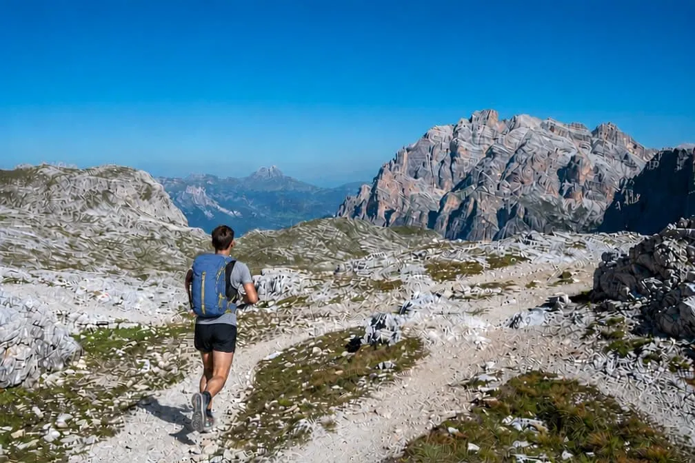
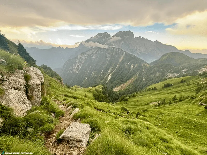
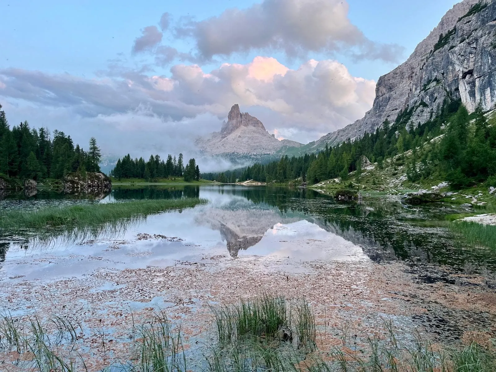
Day five, and the last climb is done. Somewhere behind you is Lago di Braies, a hundred kilometres ago: the Fanes plateau, the Lagazuoi, the Cinque Torri, Passo Giau and four nights in mountain huts. Ahead, the trail drops 2,100 metres towards the valley and the bus at La Pissa. Your quads already know what is coming. Let them.

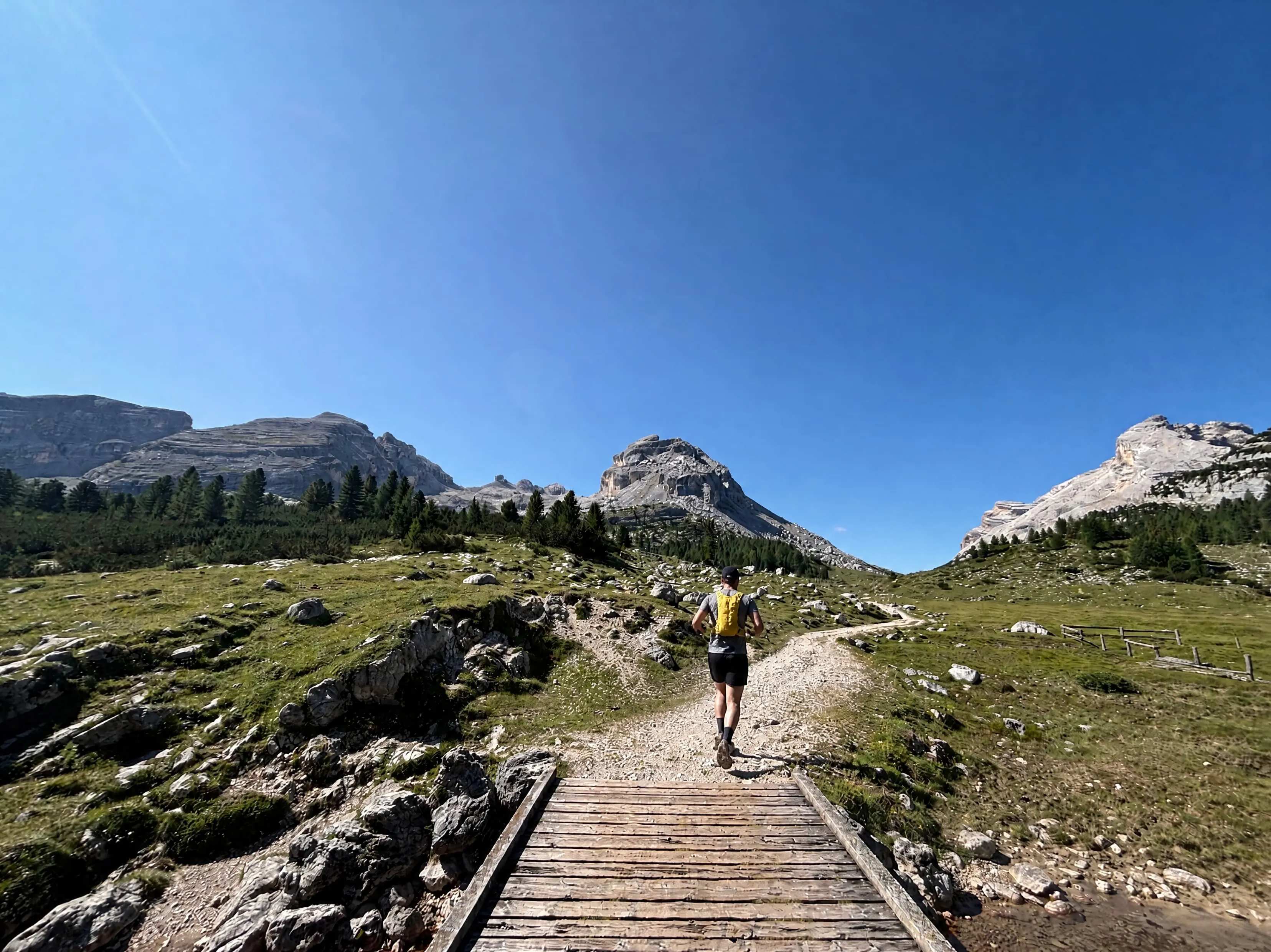
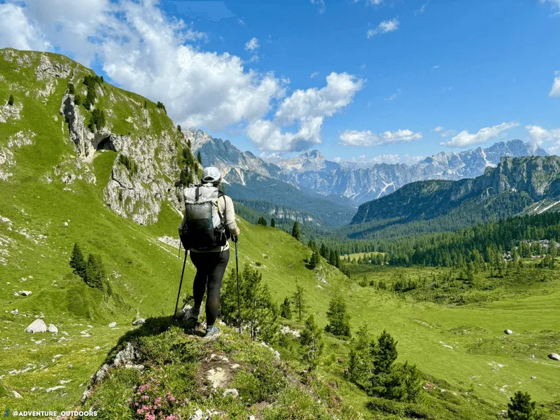
The full traverse: about 100 kilometres and 5,200 metres of climbing in five days. You cross the Sennes and Fanes plateaus, climb to 2,557 metres below the Lagazuoi and then run the Lavaredo Ultra Trail course from Col Gallina over the Cinque Torri, Averau and Passo Giau. A faster line takes you on to Passo Duran, where you rejoin the classic route to Rifugio Pramperet. Half board in three of the four huts, no luggage transport.

This is the big one, for runners who have done multi-day or ultra races and want five mountain days back to back. Days run from 13 to 27 kilometres with up to 1,700 metres of climbing, on rocky paths and steep descents, and most climbs are power-hiking territory. Your pack will weigh 6 to 8 kilograms with hut sheet, rain gear, headlamp and trail food. We book the huts. You bring the legs.

Itinerary

Day
1

Lago di Braies to Rifugio Pederü

Duration: 03:30 h
Distance: 13.5 km
Ascent: 837 m
Descent: 781 m
Lowest Point: 1493 m
Highest Point: 2327 m

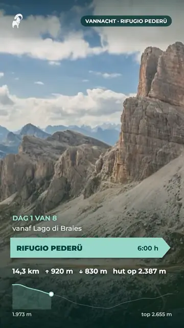
A short opener to shake the travel out of your legs. From the shore of Lago di Braies you climb more than 830 metres in the first six kilometres, most of it hiking rather than running, to the high point of the day at 2,327 metres. After that the trail opens up and gets properly runnable.

The climb starts at the far end of the lake and works its way up a steep, rocky path. From the top the Sennes plateau rolls out ahead of you, wide and easy on the legs. You run past Rifugio Sennes at about 2,130 metres, then drop off the plateau on a steep descent of nearly 800 metres to the valley floor.

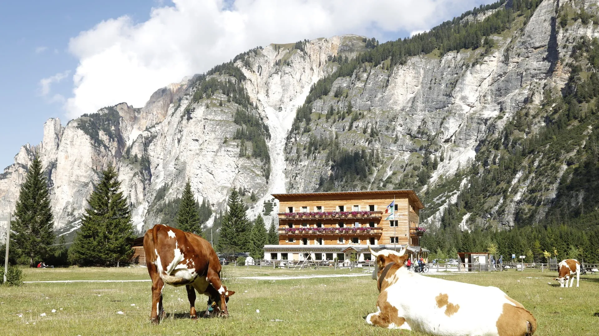
Rifugio Pederü sits at about 1,550 metres in the Fanes-Sennes-Prags Nature Park. Dinner is not included here: you order and pay at the hut. About 13.5 kilometres, count on 3.5 hours at an easy running pace.

Rifugio Pederü

Info
Rifugio Pederü
Rifugio Pederü
Day
2

Rifugio Pederü to Rifugio Cinque Torri via the Fanes plateau

Duration: 06:30 h
Distance: 24 km
Ascent: 1729 m
Descent: 1140 m
Lowest Point: 1542 m
Highest Point: 2557 m

The big day. Over 24 kilometres you take on a hefty 1,730 metres of climbing and reach the highest point of the trip at 2,557 metres, just below the Lagazuoi. In between are long, runnable stretches across the Fanes plateau. From Col Gallina onwards you are on the course of the Lavaredo Ultra Trail.

Straight out of Pederü the trail climbs steeply to Rifugio Fanes at about 2,070 metres, a good spot for a coffee after five kilometres. The Fanes plateau that follows is some of the best running ground of the trip. The second climb takes you up to 2,557 metres below the Lagazuoi, followed by a fast descent to Col Gallina, near Passo Falzarego. From here you share the trail with the race runners on the final climb of about 230 metres to the Cinque Torri.

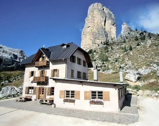
Rifugio Cinque Torri has stood at the southern foot of the towers since 1904 and has been run by the same family since 1937. About 24 kilometres, count on 6.5 hours.

Rifugio Cinque Torri

Info
Rifugio Cinque Torri
Day
3

Rifugio Cinque Torri to Passo Staulanza via Passo Giau

Duration: 03:45 h
Distance: 17.7 km
Ascent: 622 m
Descent: 986 m
Lowest Point: 1769 m
Highest Point: 2394 m

A shorter day with more descent than climbing, nearly all of it above 2,000 metres. The first part follows the Lavaredo Ultra Trail course over Passo Giau, a section the race runners reach after more than 100 kilometres. You have the luxury of fresh legs.

A short climb takes you to Rifugio Averau, under the walls of the Averau. From there you run down to Passo Giau, then onto high pastures where the trail rolls between 2,200 and 2,400 metres for several kilometres. The last part is a descent of about 500 metres to the pass.

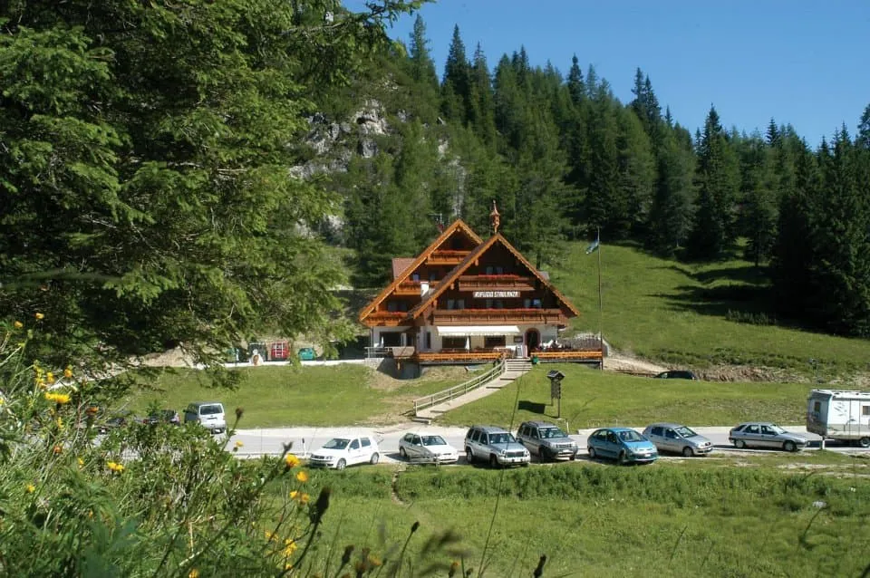
Rifugio Passo Staulanza was built in 1968 and is finished entirely in wood, with a tiled stove and a traditional stube. Order the pappardelle with wild boar. About 17.5 kilometres, count on just under 4 hours.

Rifugio Passo Staulanza

Info
Rifugio Passo Staulanza
Day
4

Passo Staulanza to Rifugio Pramperet via Passo Duran

Duration: 06:15 h
Distance: 27.4 km
Ascent: 1323 m
Descent: 1228 m
Lowest Point: 1410 m
Highest Point: 1936 m

The longest day, at 27 kilometres, with 1,320 metres of climbing. In return you get the most runnable terrain of the trip, between 1,400 and 1,950 metres. The route leaves the classic Alta Via 1 line and takes a faster way south to Passo Duran, where it rejoins the Alta Via 1.

From the pass you descend to about 1,400 metres and work your way south on rolling trails to Passo Duran, at about 1,600 metres after 16 kilometres. This is the place to refill your bottles and eat something. From Duran you follow the Alta Via 1 again, climbing to a col at about 1,940 metres before the traverse to the hut.

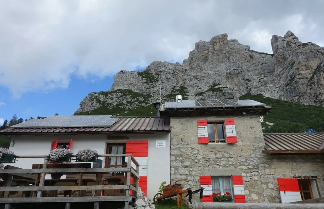
Rifugio Pramperet was built in 1923 at 1,857 metres and has 25 beds, so the evening is small and cosy. About 27.5 kilometres, count on a little over 6 hours.

Rifugio Pramperet

Info
Rifugio Pramperet
Rifugio Pramperet
Day
5

Rifugio Pramperet to La Pissa

Duration: 04:15 h
Distance: 18.1 km
Ascent: 717 m
Descent: 2114 m
Lowest Point: 458 m
Highest Point: 2365 m

The last day starts with a climb of 500 metres straight from the hut and then drops more than 2,100 metres to the valley. Save something for the descent: that is where tired legs feel it.

In under three kilometres you climb to a col at 2,365 metres, the last high point of the trip. A steep descent takes you to Rifugio Pian de Fontana at about 1,620 metres, a good place for a final coffee in the mountains. From there the trail keeps dropping through the forest of Val Vescovà to La Pissa, at 458 metres.

The trip ends at the bus stop in La Pissa, where the bus takes you to Belluno. About 18 kilometres, count on just over 4 hours.

Walk It First

Walk this trek before you book it

Get your own short film of the Alta Via 1, in the month you want to go.

  • Your route, day by day
  • Photos of real travellers
  • Free, in your inbox within minutes
When do you want to go?
Who do you want to walk with?
Contact our Trekking Expert
Jelle Tekstra
Jelle Tekstra
Jelle Tekstra

Included

  • Full travel guide

    You’ll receive access to our trekking app, which serves as your complete digital travel guide for the Alta Via 1. Inside, you’ll find everything you need for your trek: route descriptions, hiking maps, navigation support, payment information, and all the key details specific to your journey.
  • Accommodation

    During your Alta Via 1, you will spend your nights in mountain huts. We normally book dormitories, but private rooms may be available upon request for an additional €75 per room per night. Please note that not all huts offer private rooms, and availability is limited. If a private room is not available, we will automatically book a bed in a dormitory.
  • Half-board in Huts

    Accommodation at the huts includes dinner and breakfast. We will arrange this for you as well. This allows you to travel lighter and have one less thing to worry about. Bear in mind that lunch is not included, but it can be purchased at the huts. Here you can also buy an array of snacks and bottled water.
  • Navigation support

    Our trekking app also includes built-in navigation support. With GPS-based maps and offline access, you can follow the trail confidently and stay on route even without mobile signal.

Excluded

  • Traveling to and from

    You have to make your own way to the starting point. The total amount does not include personal transport.
  • Transfers

    Should you need any form of (public) transport on location, this is not part of the trekking package. This includes the use of taxi, bus, cable cars, gondolas, ferries, etc.
  • Lunch

    Half-board is included in the price of this trek. Lunch, however, is not. Many huts offer packed lunches, which can usually be requested the night before. Alternatively, you can stop for lunch at mountain huts along the way.
  • Travel Insurance

    Your international travel insurance is your own responsibility. Discuss your itinerary with the insurance company before your trek.
  • Personal expenses

    Personal expenses on such as souvenirs, drinks, and other similar expenses are for your own account.
  • Tourist tax

    We pay tourist taxes in advance whenever possible. If an accommodation does not allow this, you will need to pay on-site. Most accommodations require cash, so make sure to bring some with you.
  • Dinner at Rifugio Pederü (pay on site)

    Rifugio Pederü is booked with breakfast. You order and pay for dinner at the hut.

FAQ

  • When to Go: Crowds, Best Timing, and Alta Via 1 vs Alta Via 2

  • How Difficult Is the Alta Via 1 Dolomites?

  • How to Get To the Starting Point of the Alta via 1

  • How to Get From the Endpoint Back to Cortina D’Ampezzo

  • What if the dates I want are not available?

  • If I book now, can I immediately arrange the rest of my trip?

  • How do I know if this trek is right for me?

  • Can meals be adapted to my dietary requirements?

How to Book

  • Booking

  • Availability

  • Cancellation policy