Beginner Short Lasörling Höhenweg

  • Duration
    Total 3 days
    Average 4h 58min
  • Distance
    Total 34 km / 21.1 mi
    Average 11.3 km / 7.0 mi
  • Ascent
    Total +1620 m / +5314 ft
    Average +540 m / +1771 ft
  • Descent
    Total -1610 m / -5283 ft
    Average -537 m / -1761 ft

> A hut-to-hut trek for fit beginners with mountain hiking experience
> Alpine terrain with significant ascents and descents
> No technical climbing or glacier gear required, but sturdy shoes, sure-footedness and good fitness are important

Looking for your first hut-to-hut trek in the Alps? The Lasörling Gruppe in East Tyrol is a strong choice for fit beginners who want a real mountain experience without technical climbing or glacier travel. This 3-day route connects alpine huts such as the Clarahütte and Neue Reichenberger Hütte, but it should not be seen as an easy valley walk. You will be walking on unpaved mountain paths, with uneven ground, long climbs, sustained descents and remote alpine surroundings.

Each stage brings a different side of the mountains, from the Umbalfälle waterfalls and high valleys to open alpine terrain, lakes and long descents back towards Hinterbichl. The route is well-marked and manageable for prepared beginners, but the terrain still asks for steady footing, good shoes and enough fitness for several hours of hiking each day. This is a beginner-friendly alpine trek for hikers who are ready for real mountain paths.

Itinerary

Day
1

Hinterbichl - Clarahütte

Duration: 05:25 h
Distance: 11.7 km / 7.27 mi
Ascent: 810 m / 2657 ft
Descent: 100 m / 328 ft

From Hinterbichl, the route starts gently towards Islitzer Alm and the Umbalfälle, but this should not be treated as a simple valley walk. You are moving into alpine terrain on unpaved paths, mountain hiking trails and steeper sections. With 800 m of ascent, the climb to Clarahütte is a real mountain effort for a beginner-classified trek. Expect uneven ground, stairs, viewing platforms and places where steady footing matters.

The first part follows the valley towards Islitzer Alm, a good place to pause before continuing to the Umbalfälle. Around the waterfalls, the route becomes more varied, using wooden platforms, steps and viewpoints close to the water. After this section, the trail leaves the easier valley character behind and climbs higher through the Upper Isel Valley. You pass crossings and river viewpoints as the surroundings become more open and alpine.

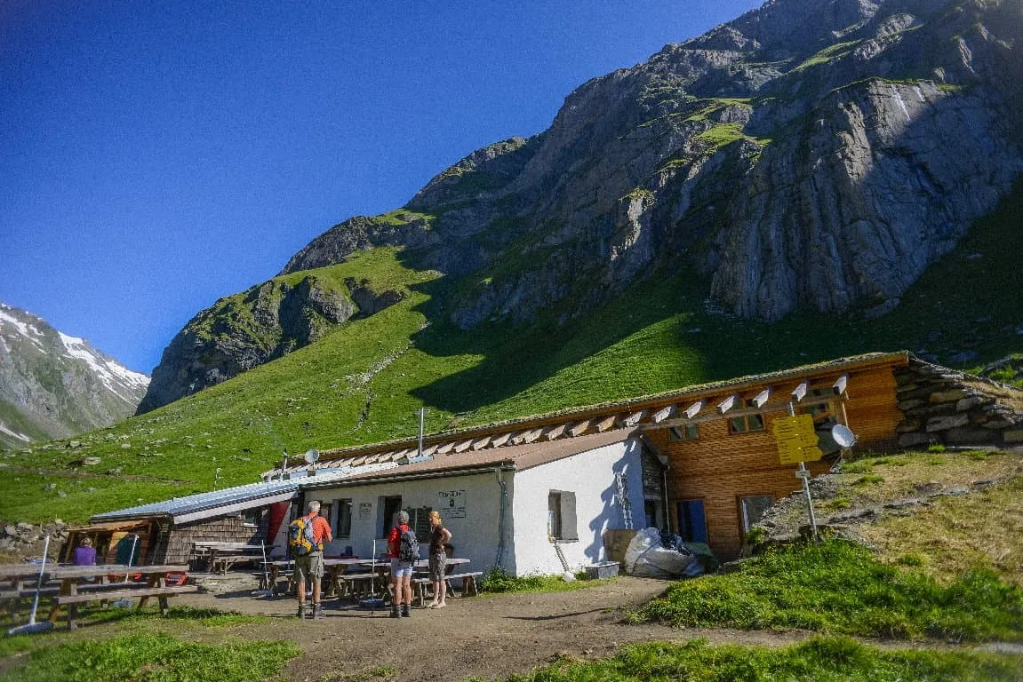
Higher up, the route passes the crossing of the Isel and Glacier Way Daber Steg before reaching Clarahütte at 2,038 m. The mountain hut sits in a high alpine setting, with the main climb already behind you.

Clarahütte

Info
Clarahütte
Clarahütte
Day
2

Clarahütte - Neue Reichenbergerhütte

Duration: 05:15 h
Distance: 10.5 km / 6.52 mi
Ascent: 730 m / 2395 ft
Descent: 180 m / 591 ft

From Clarahütte, this is a serious alpine stage despite the beginner classification. The route gains 730 m and includes a short technical section where the terrain is more demanding than the rest of the route. Sure-footedness, calm movement and mountain hiking experience are important here. Sturdy footwear and the right equipment matter, especially in poor weather or early-season conditions.

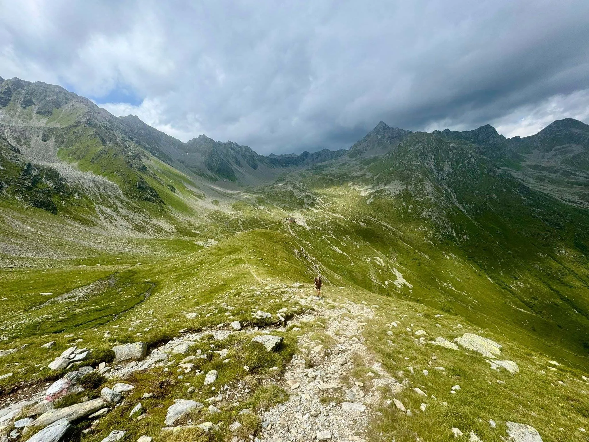
After leaving Clarahütte, the route crosses the mountain river Isel and heads into the Dabertal. The climb builds steadily rather than in one short push, passing highlights such as Regenbach Waterfall, Bridge Over the Isel, Daberlenke and small alpine lakes. The trail is mostly unpaved mountain terrain, with longer stretches where concentration matters. The flagged technical section comes after the first part of the route, so pace yourself before reaching it.

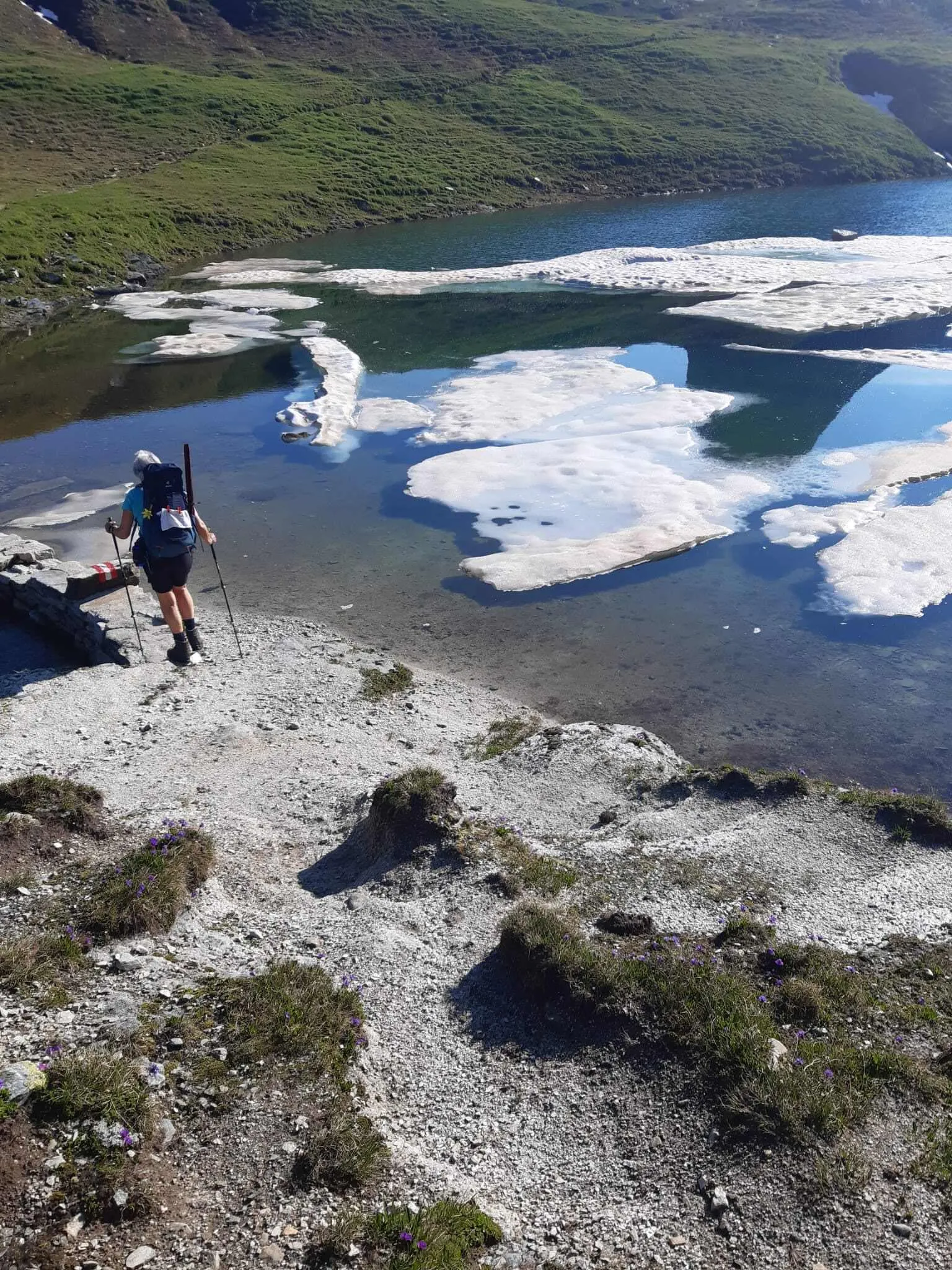
The route finishes at Neue Reichenberger Hütte beside the Bödensee glacial lake. This is a remote mountain hut arrival in Hohe Tauern National Park, with simple alpine surroundings and a clear sense of being deep in the mountains.

Neue Reichenbergerhütte

Info
Neue Reichenbergerhütte
Day
3

Neue Reichenbergerhütte - Hinterbichl (via Großbachtal)

Duration: 04:15 h
Distance: 11.8 km / 7.3mi
Ascent: 80 m / 262ft
Descent: 1330 m / 4364ft

This is the easier option back to Hinterbichl, but it is not a short or effortless finish. The route descends 1,330 m from the high alpine area around Neue Reichenberger Hütte through the Großbachtal. That much descent takes time and can be tiring for knees and legs, especially after the previous stages. Take the pacing seriously, even though the ascent is limited and the distance is manageable.

From the hut, the trail heads north into the Großbachtal, with views towards the Sajatkar along the way. The path gradually loses height through open alpine terrain before approaching the river valley. You pass Kleinbachfall and continue towards the Isel, where the route becomes gentler and follows the valley more clearly. Later, the trail passes Gol Gorge Waterfall before the final approach towards Hinterbichl.

The route ends back in Hinterbichl, where the terrain finally eases after the long descent. Allow enough time for this final section, as the elevation loss is the main challenge.

Contact our Trekking Expert
Naida Bonnema
Naida Bonnema
Naida Bonnema

Included

  • Accommodation

    During your Lasörling Höhenweg, you will stay overnight in comfortable accommodations. You'll sleep in private rooms, ensuring a good night's rest after each day on the trail.

  • Full travel guide

    You’ll receive access to our trekking app, which serves as your complete digital travel guide for the Lasörling Höhenweg. Inside, you’ll find everything you need for your trek: route descriptions, hiking maps, navigation support, payment information, and all the key details specific to your journey.

  • Accommodation

    During the trek, you’ll stay overnight in mountain huts. Accommodation is booked in dormitories (Lager) by default. Some huts offer private rooms (€50 per room, per night) or Mehrbettzimmer / small shared rooms (€12.50 per person, per night), subject to limited availability. If you’d like an upgrade, you can leave a comment while booking or email us immediately after booking. If a private room isn’t available, your booking will be placed in a Mehrbettzimmer or dormitory instead.

  • Half-board in Huts

    Accommodation at the huts includes dinner and breakfast. We will arrange this for you as well. This allows you to travel lighter and have one less thing to worry about. Bear in mind that lunch is not included, but it can be purchased at the huts. Here you can also buy an array of snacks and bottled water.

  • Navigation support

    Our trekking app also includes built-in navigation support. With GPS-based maps and offline access, you can follow the trail confidently and stay on route even without mobile signal.

Excluded

  • Traveling to and from

    You have to make your own way to the starting point. The total amount does not include personal transport.

  • Transfers

    Should you need any form of (public) transport on location, this is not part of the trekking package. This includes the use of taxi, bus, cable cars, gondolas, ferries, etc.

  • Lunch

    Half-board is included in the price of this trek. Lunch, however, is not. Many huts offer packed lunches, which can usually be requested the night before. Alternatively, you can stop for lunch at mountain huts along the way.

  • Travel Insurance

    Your international travel insurance is your own responsibility. Discuss your itinerary with the insurance company before your trek.

  • Personal expenses

    Personal expenses on such as souvenirs, drinks, and other similar expenses are for your own account.

FAQ

  • How to Get to the Starting point of the Kleiner Lasörling

  • End point: Hinterbichl

  • What if the dates I want are not available?

  • If I book now, can I immediately arrange the rest of my trip?

  • How do I know if this trek is right for me?

  • Can meals be adapted to my dietary requirements?

How to Book

  • Booking

  • Availability

  • Cancellation policy