Hiking in South Tyrol: Merano, Alpe di Siusi, Val Venosta and the Dolomites

Hiking in South Tyrol: Merano, Alpe di Siusi, Val Venosta and the Dolomites
Trekking experts per destination
Free cancellation up to eight weeks in advance
Quick personal advice

South Tyrol isn't one hiking area, but five, and they differ from one another more sharply than north and south of the Alps generally do. Hiking in South Tyrol means: following old Waalwege through vineyards and deep into the Texelgruppe around Merano; crossing the largest alpine plateau in Europe with a Dolomites panorama on the Alpe di Siusi; walking the Sonnenberg above orchards with views of the Ortler in Val Venosta; heading from Bressanone up to the Plose and into Val di Funes with the Geisler peaks in the Eisack Valley; or reaching the Kronplatz, Lago di Braies and the Tre Cime from Brunico in the Pustertal. In a single day you can wander through vineyards in the morning and stand before a Dolomites wall by the afternoon. This regional overview — along with the bookable multi-day tours for a walking holiday in Italy — is what you'll find here. If you're set on hut-to-hut walking, everything on that is in our hut-touring blog. For everyone else, this page maps out the full range of hiking in South Tyrol, complete with booked accommodation, luggage transfer and the Bookatrekking app with offline navigation, GPX tracks and weather forecasts for each stage location.


What makes hiking in South Tyrol special

Hiking in South Tyrol means more vertical contrast than almost anywhere else in the Alps. Vines and apples grow in the valleys, larch meadows and mountain farms glow halfway up, and Dolomites walls and Ortler glaciers rise above. What makes hiking here so distinctive is the sheer density: within a single day, landscape, vegetation and climate can shift several times over. The path network is well signposted with AVS markers, cable cars open up the high country from almost every village, and since the region is predominantly German-speaking, orientation feels immediately familiar to visitors from Germany, Austria and Switzerland.

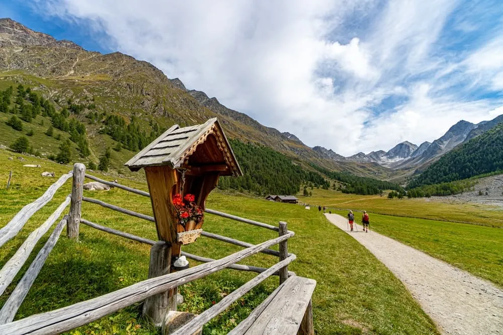
Typical of walking in South Tyrol are the Waalwege, near-level paths following centuries-old irrigation channels through vineyards and orchards, ideal for spring and autumn. Then there are the high alpine plateaus, reached by cable car, where even short loops deliver huge panoramas, and the wine trails along the Südtiroler Weinstraße around Caldaro and Termeno. Higher up wait the summit worlds of the Texelgruppe, the Geisler group and the Dolomites' high-level routes.

Compared with Tyrol, South Tyrol is further south and warmer, its cultural undertone more Mediterranean, and its season longer: in spring the valley slopes are already green while the high pastures still lie under snow. Compared with Trentino, South Tyrol is more German-speaking and more compact. Planning a walking holiday in South Tyrol therefore starts with one decision above all: choosing which area suits you.


Merano, Bolzano, Bressanone or Brunico: which gateway should you choose?

The main gateway into the region is the Brenner Pass, with a direct rail connection from Munich and Innsbruck. From there, all areas open up, and South Tyrol is well integrated into the European rail network: the Vinschgau railway runs from Merano deep into Val Venosta, and Bolzano's main station sits on the most important north–south axis in the Alps.

Bressanone is the ideal starting point for the Eisack Valley, the Plose and Val di Funes. Bolzano gets you fastest onto the Alpe di Siusi, via Castelrotto, Siusi and Fiè, and to the wine route. Merano opens up the Meran area, the Val Passiria and the Val d'Ultimo; from there, the Vinschgau railway continues on to Silandro and Malles. The Reschen Pass serves as a second gateway if you want to head straight into upper Val Venosta. Brunico, finally, is the base for the Pustertal, the Ahrntal and the Kronplatz.

For point-to-point routes, a car is more of a hindrance than a help: you start in one place and finish in another. Trains and buses solve this comfortably, and on our tours we organise the return transfer for you. One particular route ties hiking together with the journey itself: anyone searching for "hiking Oberstdorf to Merano" means the classic E5 Alpine crossing, which ends in Merano — from here you continue south. The Zillertal, meanwhile, sits just across the main Alpine ridge behind the Ahrntal, in neighbouring Tyrol.


Hiking in South Tyrol: comparing the best walking areas

Meran area: Waalwege, the Texelgruppe and Meran 2000

Hiking around Merano offers an unusual mix: you start in a spa town lined with palms and cypresses and within an hour you're on a Waalweg above the vineyards. The Algund and Tscherms Waalwege follow old irrigation channels almost without gradient, through orchards and chestnut groves, and are ideal in spring and autumn. Walks around Merano range from the Tappeinerweg right above the town to the alpine reaches of the Texelgruppe, a serious mountain massif with long ridges and remote valleys.

Meran 2000 is the town's local mountain: a cable car whisks you up to a plateau at around 2,000 metres, from where several routes set off, including to the Stoanerne Mandln and the Kratzberger See. Walking on Meran 2000 gives you a sweeping panorama as far as the Ortler and the UNESCO World Heritage Dolomites. The Val Passiria and the wilder Val d'Ultimo are the quieter flanks: the paths here see far less traffic than the well-known high plateaus further east.

Alpe di Siusi, Sciliar and Catinaccio

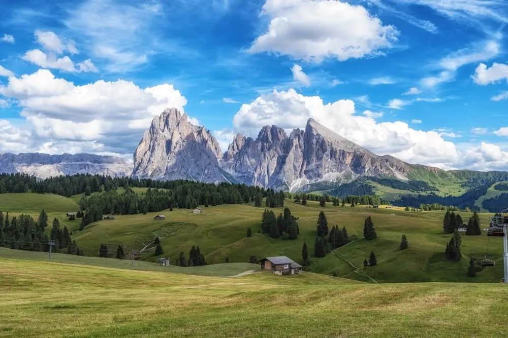
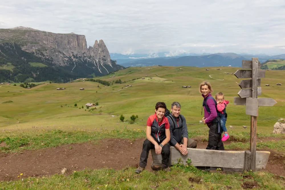
Walking on the Alpe di Siusi means crossing the largest alpine meadow in Europe, 56 square kilometres of pastureland with the Sassolungo and Sciliar as a backdrop. From Compaccio, the path network branches off in every direction, from broad meadow tracks for families to longer circuits around the Sciliar for endurance walkers. The sun shines here on around 300 days a year, and the altitude of 1,800 to 2,500 metres keeps walks on the Alpe di Siusi pleasant even in high summer.

The Catinaccio range adjoins to the south: red Dolomites walls, working alpine pastures and huts at the foot of the rock faces. Compared with the Meran area, the Alpe di Siusi is better developed for tourism and busier in high summer, but the Dolomites setting is unmatched.

Val Venosta: Sonnenberg, orchards and the Ortler

Walking in Val Venosta is above all about space and dryness. The valley lies in the rain shadow of the Alps and is the driest valley in Austria and Italy, giving it a character all its own: juniper heath, chestnut groves, orchards near Laces and Silandro, and the Ortler, the highest peak of the southern Eastern Alps, on the horizon. Walking the Sonnenberg in Val Venosta usually means an up-and-down between villages and farmsteads with magnificent valley views.

The Val Martello and Val di Solda are the quiet side valleys, barely developed and ideal for anyone seeking real solitude. At the upper end lies Glorenza, South Tyrol's smallest walled town, and the Reschensee with its famous submerged church tower. If you want to combine Val Venosta with Merano, the Vinschgau railway makes it easy.

Eisack Valley and the Dolomites' edge: Bressanone, Plose and Funes

The Eisack Valley is South Tyrol's main thoroughfare, with Bressanone as its cultural centre and Chiusa as a picturesque gem. Walking around Meransen in the Gitschberg-Jochtal shows a quieter side of South Tyrol: a sun-drenched plateau, alpine huts and a panorama stretching from the Dolomites to the Zillertal Alps. The Plose above Bressanone offers an extensive network of paths above 2,000 metres.

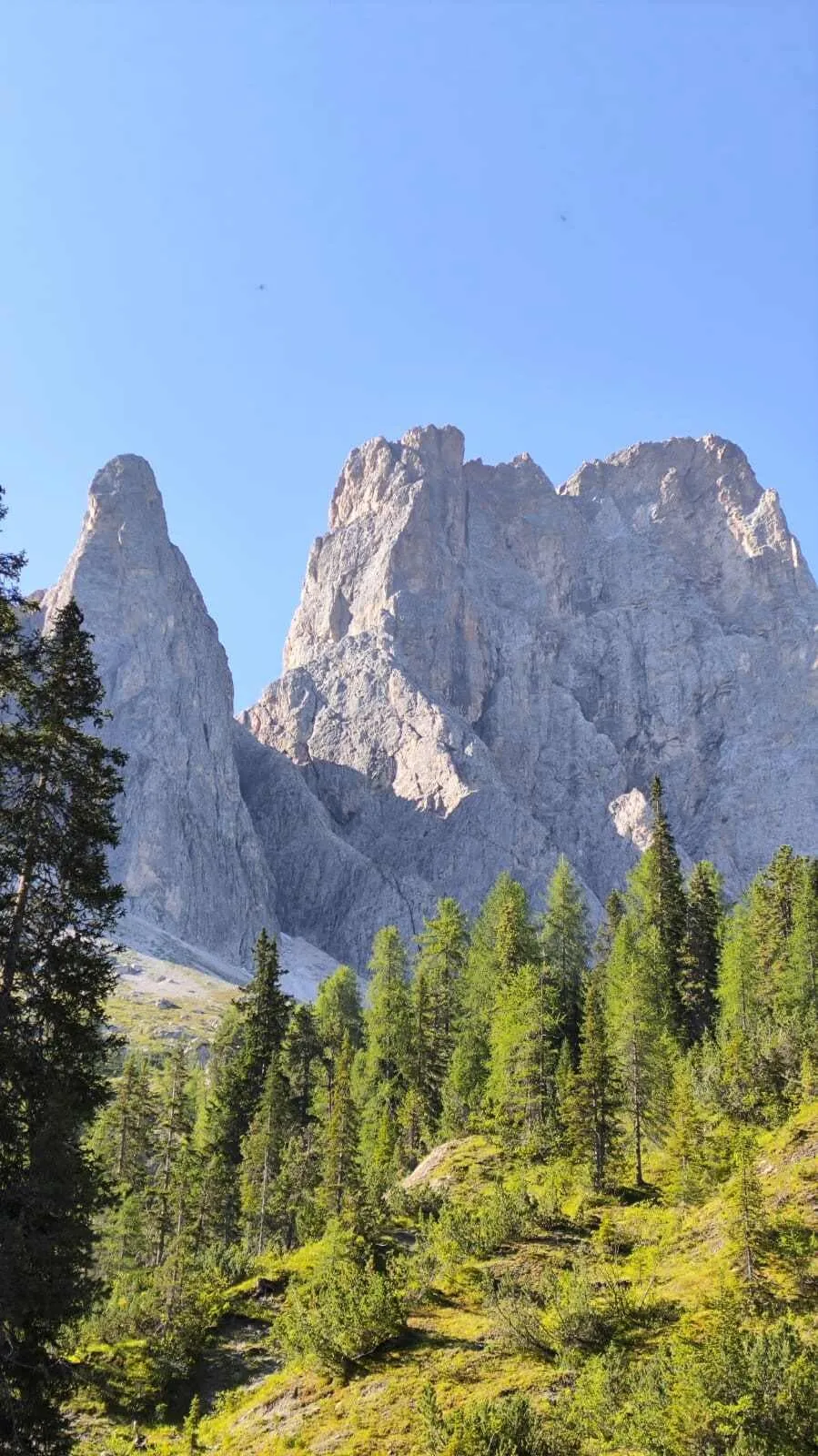
Val di Funes is the quiet treasure chest of the region: narrow valleys, green pastures, and then suddenly the Geisler peaks, a Dolomites massif that ranks among the most photogenic anywhere. Val Gardena sits right behind it as the gateway into the Dolomites proper. Compared with the Alpe di Siusi, the Eisack Valley is considerably quieter and less developed, ideal for anyone who values a sense of discovery.

Pustertal and Ahrntal: Kronplatz, Lago di Braies and the Tre Cime

The Pustertal is the gateway to the high Dolomites: Brunico as your base, the Kronplatz as a widely visible plateau, and Lago di Braies as one of Europe's best-known mountain lakes. To the south rise the Dolomites with the Tre Cime and the Sesto Dolomites. The Ahrntal to the north has a different character altogether: long, narrow, with glaciers in the background and alpine pastures halfway up. Compared with the Meran area, the Pustertal is more alpine and less Mediterranean; compared with Val Venosta, it's better known and busier.



Multi-day tours in South Tyrol: from the Waalwege to the Dolomites

The principle is simple: a different place each day, accommodation booked in advance, your suitcase moved on by luggage transfer, and you carry only a day pack. That's what turns a walking holiday in South Tyrol into a genuine experience rather than a logistical exercise. Here are the five bookable tours, organised by area and level.

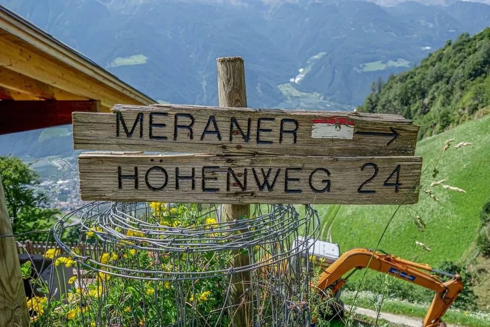
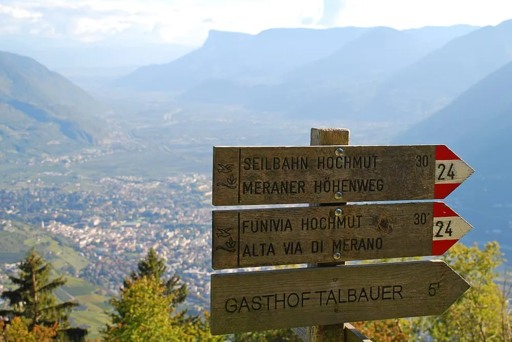
The full six-day circuit of the Texelgruppe is the flagship tour of the Meran area: you circle the entire massif, with sunny Waalwege to the south and an alpine northern side that demands sure-footedness and stamina. Six stages, each with its own character. You'll find every stage location and route detail in our in-depth article on the Meraner Höhenweg.

Looking for a shorter introduction? Choose the sunny southern half in three days: Waalwege, mountain farmsteads and sweeping views of Merano and the Val Venosta mountains. This half is the more accessible option and makes a good first multi-day tour in South Tyrol.

On the edge of the Dolomites lies the four-day tour on the Dolorama trail: four stages from Rodengo via the Maurerberghütte, Schlütterhütte and Raschötz refuge to Laion, with constant views of the Geisler peaks and the Dolomites beyond. Stage details are in the article on the Dolorama trail.

For families and beginners, the three-day tour on the Alpe di Siusi with the Sciliar offers a gentle taste of the high alps: starting from Compaccio across the high plateau, three manageable stages totalling just under 23 kilometres, ideal for anyone who wants to genuinely walk the Alpe di Siusi rather than just glimpse it from a chairlift.

If you want to sleep beneath Dolomites walls without needing a via ferrata, choose the three-day family route around the Catinaccio: three stages at the foot of the red Dolomites walls, with working alpine huts and a family-friendly atmosphere.

For a broader look at the Dolomites, see our overview of hiking in the Dolomites, and you'll find the full range of walking holidays in Italy on our overview page.


The Meraner Höhenweg, Dolorama trail and other high-level routes in brief

Alongside the alpine paths and day walks, South Tyrol has an extensive range of hut-to-hut tours that deserve their own mention. The Meraner Höhenweg circles the Texelgruppe, the Dolorama trail follows the edge of the Dolomites above the Eisack Valley, circuits around the Catinaccio and Sciliar lead deep into the Dolomites, and the great Dolomites high routes rank among the best-known multi-day routes in the Alps. If you want to walk hut to hut, you'll find every route with stages and difficulty ratings in our hut-touring guide to South Tyrol. Full details of the Meraner Höhenweg stages are in our blog post on the Meraner Höhenweg, and the Dolorama trail stages are in the Dolorama article. This page deliberately covers the broader picture of hiking in South Tyrol.


Day walks, Waalwege and wine trails in South Tyrol

Many visitors to South Tyrol walk from a fixed base, a hotel or guesthouse, with a different loop each day. The region is superbly set up for exactly this. Three types of walking define the picture:

Waalwege follow centuries-old irrigation channels, almost without gradient, through vineyards, orchards and chestnut groves. The Tappeinerweg right above Merano and the Algund Waalweg are the best known; the Sonnenberg Waalweg in Val Venosta is quieter and more striking, since it looks deep down into the valley. Waalwege are ideal in spring and autumn, when the high plateaus are still, or once again, under snow.

Alpine circuits by cable car are the classic choice for high-summer enjoyment: from Compaccio on the Alpe di Siusi, from the top station of Meran 2000, from the Plose above Bressanone, or from the Kronplatz. The cable car removes the long climb, and a network of paths for half-days and full days awaits at the top.

Wine trails combine pleasure with movement: along the Südtiroler Weinstraße around Caldaro and Termeno, on the Meraner Weinweg, and in the Eisack Valley. The path leads past wineries, fruit farms and Marende taverns.

Four to six examples, without any claim to completeness: the Tappeinerweg and Algund Waalweg for beginners and spring walkers; the loop from Compaccio for families with children; the Sonnenberg Waalweg in Val Venosta for anyone seeking calm and space; the view of the Geisler peaks from Val di Funes for Dolomites atmosphere without a long climb; the Lago di Braies for a lakeside destination in the Pustertal; a wine trail near Caldaro for a rewarding autumn day.

Most beautiful walks in South Tyrol: there's no single ranking, because it all comes down to character. In the Meran area, the Waalwege are unbeatable in spring, while Meran 2000 leads the field in summer. On the Alpe di Siusi, the alpine circuits with their Dolomites panorama are a destination in their own right. In Val Venosta and Val di Funes, the most beautiful walks in South Tyrol come paired with the quietest paths.

A hidden gem for hiking in South Tyrol: most walkers concentrate on the Alpe di Siusi, the Tre Cime and the Dolomites high routes. If you're after less-trodden paths, look to the Val d'Ultimo south of Merano, the Val Martello and Val di Solda in central Val Venosta, the Ahrntal at the northern end of the Pustertal, and Val di Funes in the Eisack Valley. These areas aren't secret, but they're noticeably quieter than the well-known high plateaus.

Hiking in South Tyrol with children: alpine circuits reached by cable car remove the long climb and quickly bring high-alpine panoramas within reach of young legs. Waalwege are flat and varied. Lakes such as the Lago di Braies or the Kratzberger See on Meran 2000 are popular destinations with a short walk-in. As a guided introduction, our two family tours are ideal: three days on the Alpe di Siusi or three days at the Catinaccio, both with manageable daily stages.


How demanding is hiking in South Tyrol — and who is it suited to?

The range is enormous: a Waalweg near Merano requires nothing more than sturdy shoes and a bit of time, while the northern side of the Texelgruppe circuit demands sure-footedness and stamina for long ascents and descents. There's no scrambling or via ferrata on our tours, but difficulty arises from three sources: long descents on steep paths, heat on the sun-facing slopes of Val Venosta and the Meran area in high summer, and mountain weather that can turn quickly at higher altitudes.

Pitfalls that are often underestimated: the Sonnenberg in Val Venosta gets very hot in July and August, so start early; afternoon thunderstorms build reliably in the Dolomites, so set off in the morning and get under cover at the first rumble of thunder; old snow on north-facing slopes can demand sure-footedness well into early summer; and the Alpe di Siusi is very busy in peak season, so anyone seeking quiet should start early or head into the side valleys.

Who suits what? Beginners and leisurely walkers will find the best entry point in the southern half of the Texelgruppe route and on the Alpe di Siusi. Families with children from around age eight are well catered for on the alpine tours, and from around age ten as a guideline on the high routes. Experienced alpine hikers after a full hut-to-hut experience will find their programme in the hut-touring guide to South Tyrol.


Best time to visit South Tyrol

March to May: the valley floors wake up early, apple blossom fills Val Venosta and the Meran area, and Waalwege are walkable almost everywhere. Higher up, snow still lies, and alpine huts and cable cars remain closed. Ideal for day walks and wine trails, not for multi-day tours on the high plateaus.

June: alpine pastures open gradually, wildflower meadows on the Alpe di Siusi are at their best, days are long, and the paths are still relatively quiet. The best month for anyone seeking nature and calm in equal measure.

July and August: peak season, everything is open and running, valleys can get very hot, while the high pastures and routes remain pleasant. Accommodation books up early and the best-known spots get crowded. Afternoon thunderstorms are common.

September and October: for many, the best time to hike in South Tyrol. Stable, clear weather, the Dolomites glow sharply, and the larches turn gold. Down in the valleys, the grape harvest and Törggelen season begin. Alpine huts and cable cars close progressively. Multi-day tours are still possible, but planning needs to account for shorter opening hours.

November to February: Waalwege in the valleys are often walkable, but everything else lies under snow. No multi-day tours on the high plateaus. Snowshoe walking is possible, but that's a different subject.

Our multi-day tours run exclusively during the alpine season. For a weather forecast right at each point on the route, the Bookatrekking app shows current weather for every stage location, based on the exact coordinates of each accommodation.


Accommodation and luggage transfer in South Tyrol

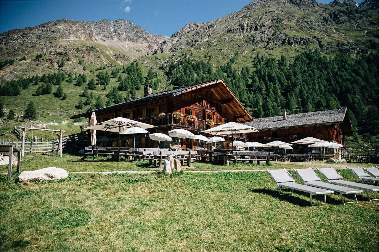
South Tyrol offers a wide range of accommodation: hotels and guesthouses in the valley towns, mountain farmsteads with rooms halfway up, working alpine huts with simple but cosy rooms and shower facilities, and mountain refuges on the high routes for anyone who wants to sleep in a hut. Most of our tours stay overnight in the valley or in alpine huts with a room and bathroom; only on the alpine sections of the full Texelgruppe circuit do you sleep in a dormitory at a mountain refuge, and we tell you this honestly in advance.

Anyone booking independently soon discovers: in peak season the best accommodation is fully booked months ahead, on point-to-point routes every night is a different place, and huts requiring reservations must be contacted weeks in advance. That's why we book everything ahead and confirm each accommodation with you before departure.

Luggage transfer means your suitcase travels from place to place while you carry only a day pack with water, rain and cold-weather protection, and the essentials. On hut stages, you carry everything yourself, because no vehicle can reach them. Included in our tours: overnight stays with breakfast, luggage transfer wherever the route runs between towns, route descriptions, GPX tracks and offline maps in the app. If you want to go exclusively hut to hut, you'll find the full range in the hut-touring guide.


Which tour suits you? Hiking in South Tyrol by area and time budget

Tour Days Who it's for Character Book
Full Texelgruppe circuit 6 Anyone who wants to circle the whole Meran area Waalwege to the south, alpine north side View tour
Texelgruppe southern half 3 First multi-day tour, a sunny introduction Waalwege, mountain farmsteads, views of Merano View tour
Dolomites edge, Eisack Valley 4 Anyone who wants Dolomites views without a via ferrata Alpine paths and high routes with Geisler panorama View tour
Alpe di Siusi family tour 3 Families and beginners High plateau, gentle meadow paths View tour
Dolomites walls family tour 3 Families who want to sleep beneath rock faces Alpine huts and rifugios at the foot of the Dolomites View tour

Current prices, dates and exact inclusions are on each tour's product page.

A quick guide to choosing: short on time and want sun and Waalwege? Choose the southern half. Want Dolomites scenery without any scrambling? Then the Eisack Valley tour or one of the family tours is right for you. Want to experience the whole Meran area and have six days to spare? Then the full Texelgruppe circuit is the one. If you'd rather book a fixed base and do day walks each day, Merano, Castelrotto or Bressanone all make good bases. And if you want to go exclusively hut to hut, you'll find the full range of hut tours under hut-to-hut hiking in South Tyrol.

Paths in South Tyrol are well marked: the AVS signposting system works reliably. In addition, the Bookatrekking app gives you the GPX track for every stage, an offline map for sections without signal, and current weather for each location. The full range of walking holidays in Italy is on our overview page.


Frequently asked questions about hiking in South Tyrol

  • Is the Meraner Höhenweg suitable for beginners?

    The sunny southern half of the Meraner Höhenweg suits fit beginners without high-alpine experience: Waalwege, mountain farmsteads and manageable daily stages. The northern side is alpine and demands sure-footedness. For all the details and stages, take a look at the southern half as an introduction and our in-depth article on the Meraner Höhenweg.

  • What are the hidden gems around Merano?

    If you want to walk away from the main crowds, explore the Val d'Ultimo south of Merano, the quieter side valleys of the Val Passiria, and the Waalwege outside peak season in May or October. These paths are less well known, clearly marked, and offer scenery just as beautiful as the popular routes, without the summer crowds.

  • Which walking area in South Tyrol is the most beautiful?

    It depends on your type of walking: the Meran area impresses with its combination of Waalwege and the Texelgruppe, the Alpe di Siusi offers an incomparable high-plateau panorama with the Dolomites behind it, and Val Venosta scores with space, calm and the Ortler as a backdrop. Ranking them would be misleading, since all three areas are outstanding in their own way.

  • Which walk in Val Venosta is the most beautiful?

    The Sonnenberg Waalweg offers one of the most characteristic walks in Val Venosta, almost level, with constant views across the broad valley. The experience is rounded out by a detour into the Val Martello or Val di Solda, where the landscape turns wilder and the terrain more alpine, without the paths becoming technically difficult.

  • Which walk around Merano is the most beautiful?

    For leisurely walkers, the Tappeinerweg right above the town and the Algund Waalweg are the loveliest day loops around Merano, with a Mediterranean-alpine atmosphere and little elevation gain. For more panorama, take the cable car up to Meran 2000 and walk there with sweeping views as far as the Ortler.

  • What is the most beautiful walk on the Alpe di Siusi?

    The circuit from Compaccio with views of the Sassolungo and Sciliar is one of the most popular and beautiful walks on the Alpe di Siusi: broad meadow paths, hardly any technical difficulty, and a Dolomites panorama that's rarely matched. Our family-friendly Alpe di Siusi tour brings exactly this experience together over three days.

  • What is a hidden gem in Val Venosta?

    The Val Martello is a genuine hidden gem for anyone who wants to walk in Val Venosta away from the crowds: a long, narrow side valley with glacier views and little tourist infrastructure. Glorenza, South Tyrol's smallest walled town, and the upper Val Venosta around Malles and the Reschensee are also far quieter than the well-known alpine areas.

  • How long does it take to walk up to the Alpe di Siusi?

    By cable car from Siusi, you're at the top within minutes, the most comfortable option. On foot from Siusi or Castelrotto, the climb is strenuous and fills roughly half a day. The walk up is rewarding because the panorama builds step by step, but if you'd rather start walking straight away instead of climbing first, take the cable car and head straight into the alpine circuits at the top.


    South Tyrol is large enough for many walking holidays in succession, and each valley gives a different answer to the question of what hiking means. If you want to learn more about the Dolomites beyond South Tyrol's borders, our overview of hiking in the Dolomites is the next step. All bookable multi-day tours in Italy — from South Tyrol to Tuscany — are on our page for walking holidays in Italy. And if reading this page has convinced you to go hut to hut after all, you'll find the full range in our hut-touring guide to South Tyrol. Next on the map is the Zillertal, Tyrol's neighbouring valley just across the main Alpine ridge.

Packing List for the Meraner Höhenweg

It doesn't matter where you are trekking or for how long: carrying the right equipment with you is paramount. For a hiking trip in the mountains, a good is backpack essential. Its size will depend on how many days you will be spending in the mountains, the season, and the clothes you will be taking with you. We have prepared a packing list with some essential clothing that you should include and some extras that you may find useful:
  • Essentials

  • Extras

Safe Hiking Tips for the Meraner Höhenweg

When hiking, it is wise to be aware of a few points. Even if this is not your first time, you should never underestimate the mountains. Good tour planning and compliance with the regulations in the mountains will significantly increase safety. To ensure that your hiking adventure is a safe and enjoyable experience, here below you can find a list of 8 recommendations for safe hiking in the mountains:
  • Know your limits

    Hiking the Meraner Höhenweg is the perfect outlet to escape from daily life. It is an endurance sport along with a beautiful nature experience with a positive effect on body and mind —as long as one is in good shape and has a realistic picture of one's possibilities and limits—. Never overestimate yourself or underestimate the route. Don't overdo it! Always choose the slower option and take more time for your plans. Hiking under time pressure is not fun and at too fast a pace it can be dangerous. Be wise!

  • Plan carefully

    Good planning is half the work! Hiking maps, literature, the Internet and expert advice are invaluable when planning the route of the Meraner Höhenweg and enable you to determine the length, altitude difference, difficulty and conditions of the hike. When planning group treks, the itinerary should always be planned for the weakest member of the group! The weather in the mountains can change incredibly quickly and rain, wind and cold all increase the risk factor. For this reason, always check the weather forecast beforehand and contact our trekking experts to find your way before you start.

  • Be fully equipped

    Equipment is everything. In the most extreme case, it makes the difference between life and death, and in any case, it definitely makes the difference between having fun and having a bad time. Food and water, sunscreen and waterproof and warm clothes must always be in your backpack, as well as a first aid kit and a mobile phone with a full battery (in case there is an emergency). However, packing light makes hiking easier, so don't take too much extra luggage with you. Your equipment should always be suitable for the terrain you'll be hiking on in the Meraner Höhenweg.

  • Wear suitable footwear

    Good walking shoes protect your feet and provide a better fit. Shoes with a good fit, with non-slip soles, water-resistant and lightweight are a must for additional walking pleasure during the Meraner Höhenweg. Trail running shoes are great for a weekend in the mountains, but on longer hikes or more technical trails, you'll want at least A/B hiking boots. That means it is recommended wearing high mountain shoes that are water-repellent with extra ankle support to prevent sprains.

  • Stay on marked trails

    Meraner Höhenweg has endless marked hiking trails, which are controlled and maintained and should not be deviated from. It may be tempting, but it's not a good idea to take shortcuts or alternative routes through unmarked terrain. It increases the risk of disorientation and you're more likely to get lost and have accidents or fall in the mountains. Even steep slopes of packed old snow are often underestimated and dangerous. Are you in doubt? Better don't do it. For easy navigation we work with our trusted partner Komoot, whose interactive maps, also available offline, provide you with the necessary digital means to get from A to B. As a backup, make sure to bring a hiking guide or a paper map with you. FYI, 75% of stumbles occur due to carelessness on marked paths or roads, not in open terrain!

  • Take regular breaks

    Remember you're on a hiking trip. Timely and regular breaks not only provide welcome relaxation but also make it possible to enjoy the Meraner Höhenweg. The body needs a regular food and drink intake to maintain performance and concentration. Our advice is that if you have little time, it's better to follow the short itinerary than to speed up the long one.

  • Stay reachable

    If you are hiking solo or in small groups it is advisable to inform people back home about your plans, what route you are taking and when you plan to return. Even small incidents can lead to unpleasant emergencies so make sure you are available at all times. Bring a charged phone containing at least the phone numbers of immediate family members, your accommodations en route and the emergency phone numbers operating on the Meraner Höhenweg.

  • Respect nature

    Leave no rubbish behind, prevent noise, stay on the marked trails, do not disturb wildlife or grazing animals, and respect protected areas.

Where Can I Book the Meraner Höhenweg?

At Bookatrekking.com you can book the self-guided Meraner Höhenweg and many other treks. We take care of all the details for you, including arranging accommodations and providing you with relevant information well in advance of your trek. Find our offers here. Our easy-to-use platform allows you to browse and compare different trekking options and to find the perfect fit for your interests, abilities, and budget.

If you have any questions about a specific trek or need help choosing the right one for you, our team of trekking experts is here to assist you. Simply reach out to us and we will be happy to provide you with personalized recommendations and advice to help you plan the trekking adventure of a lifetime.

About Us

At Bookatrekking.com, you will find the trek that will make your life unforgettable. Whether you want to explore the Inca Trail or climb Kilimanjaro. Bookatrekking.com has a wide and varied range of first-class treks. No false promises are made here. Transparent prices and bookings are fixed instantly. Find, compare, book and trek!
Read more about us
About Us
About Us