Most Alpe di Siusi hikes start at Compatsch, at the Mont Sëuc gondola station from Ortisei, or in Saltria. The six routes below cover the full range, from a short family walk to a full-day ridge circuit.
Hans and Paula Steger path: the easy family walk
Start: Compatsch | End: Saltria (1,675 m) | Distance: about 4.65 km | Difficulty: easy, pram-friendly
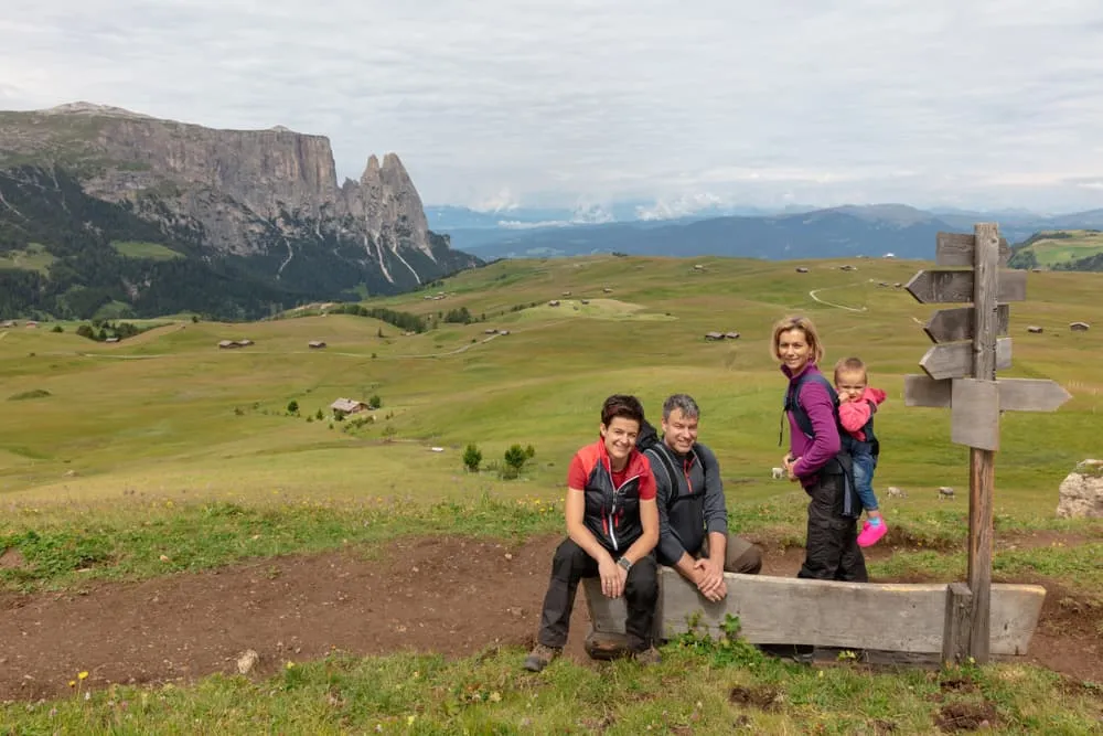
This nature and culture trail has information boards along the way and is suitable for prams. Buses run along the road, so you can easily return from Saltria to Compatsch without retracing your steps. A good first walk on the Alpe di Siusi for families with young children.
Puflatsch round and the Hexenbänke
Start: Compatsch (Seiser Alm cable car top station) | Distance: about 10 km, loop | High point: Puflatsch (Bullaccia) at 2,176 m
The Puflatsch round is the classic Alpe di Siusi hike for wide views over the plateau. The loop climbs from Compatsch to the Puflatsch, passes the rock benches known as the Hexenbänke (Witches' Benches) and the Puflatschhütte and Arnikahütte.
Mont Sëuc, Saltria and Compatsch circuit
Start: Mont Sëuc gondola top station, Ortisei (about 2,005 m) | Distance: 14.4 km loop | Time: about 4 h 25 | Elevation: +483 m / -483 m | Difficulty: easy
This circuit connects the northern and southern edges of the plateau in one long, easy day. From the Mont Sëuc station the route descends through open meadows to Saltria at 1,675 m, then follows the Hans and Paula Steger path to Compatsch before climbing back to the gondola station. It is a good first long walk for anyone arriving from Val Gardena.
Mahlknechthütte round from Mont Sëuc
Start: Mont Sëuc gondola top station | Distance: 17.7 km loop | Time: 5 h 20 | Elevation: +651 m / -651 m | Range: 1,675 m (Saltria) to 2,081 m
A longer day on the plateau, this circuit adds the Mahlknechthütte (Rifugio Molignon, 2,054 m) to the standard Mont Sëuc loop. The hut sits below the Rosszähne (Denti di Terrarossa). Plan this as a full day.
Around the Langkofel and Plattkofel
Distance: about 17 km loop
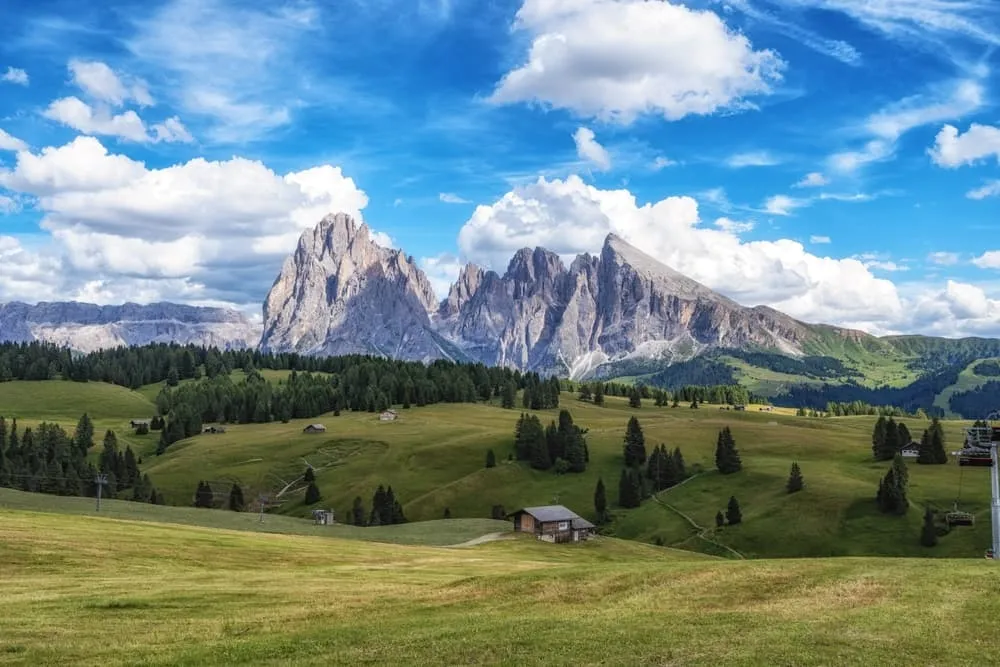
This circuit runs along the foot of the Langkofel (3,181 m) and the Plattkofel (2,969 m), the two peaks on the eastern side of the Alpe di Siusi. The route passes the Plattkofelhütte. Allow a full day; this walk is best suited to fit hikers comfortable with longer distances.
Friedrich-August-Weg to the Plattkofelhütte
Start: Saltria | Total distance: about 10.5 km | High point: Plattkofelhütte (Rifugio Sasso Piatto, 2,297 m)
This classic Seiser Alm hike climbs from Saltria to the Plattkofelhütte and continues to the Sella Pass. The Florian chairlift from Saltria can shorten the initial climb for those who prefer to save their energy for the higher section.