Vier Quellen Weg: In Five Days Through the Gotthard Massif

Find that one special trekking
Search
Vier Quellen Weg: In Five Days Through the Gotthard Massif
Quick personal advice
Free cancellation up to two weeks in advance
Trekking experts per destination

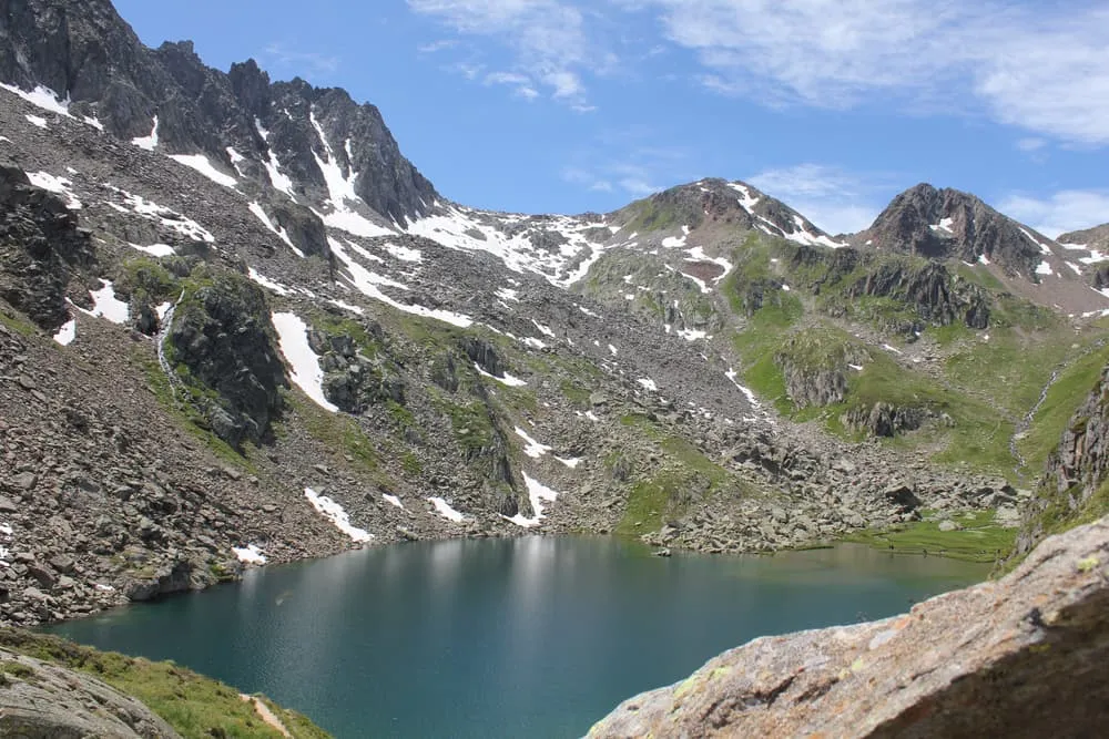
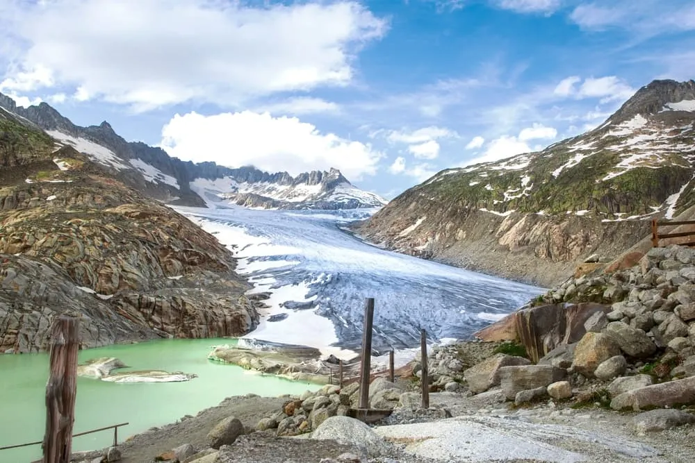
What do the Rhine, the Reuss, the Ticino and the Rhone have in common? They all originate in Switzerland and the springs are so close together that you can see all four on foot. Four Springs, Four Cantons, Four Nights: that is the Vier Quellen Weg, pre-eminently the most enjoyable multi-day mountain hike through the Gotthard Massif.

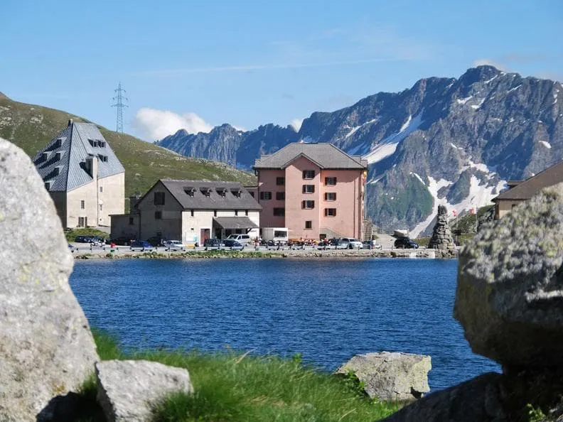
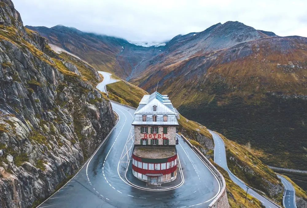
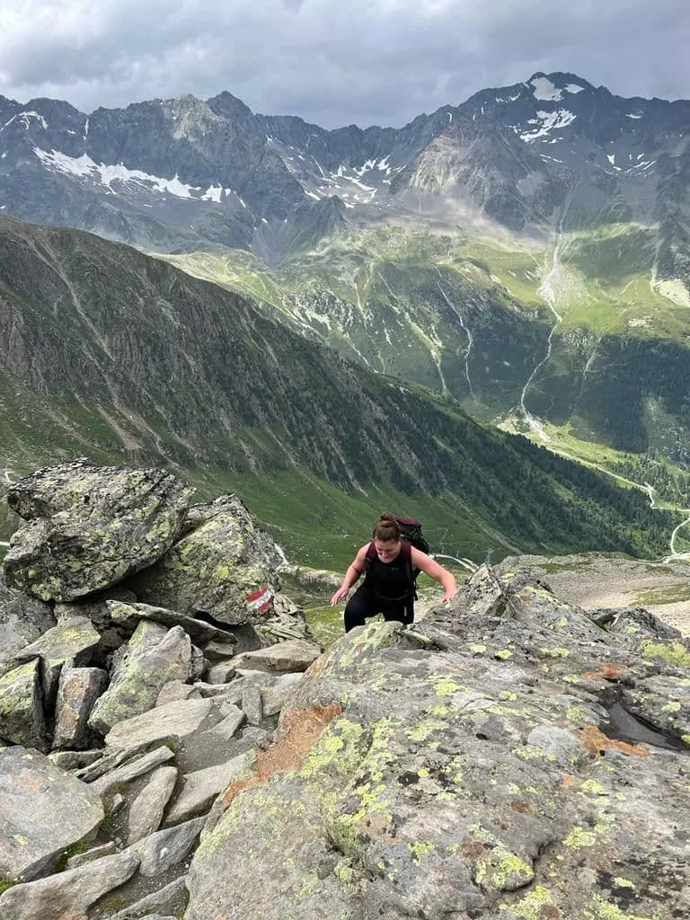
The Vier QuellenWeg offers just a bit more than most hut tours. The tour of, say, 80 kilometers is punctuated by a combination of mountain huts and hotels. The hut-trekking feeling mixed with a bit more comfort. Doable for young and old if already somewhat experienced. How does the Vier Quellen Weg work? We'll share that with you!

What and Where Is the Vier Quellen Weg?

The Vier Quellen Weg, or the Four Springs Trail was introduced in Switzerland in 2012. This route crosses as many as four cantons: Uri, Graubünden, Ticino and Valais. Compared to established tours such as the Tour du Mont Blanc, the route markings are excellent, making it almost effortless to follow. Andermatt serves as the starting point, easily accessible by car or public transport.

During the Vier Quellen Weg you will discover the sources of four rivers, the most famous of which is the Rhine. The Rhône is also well known, mainly for its wine, of course. The Ticino merges into the Po and the Reuss eventually rejoins the Rhine via the Aare near Koblenz. But you don't notice much of that at the springs. You pass enchanting blue lakes and pass the Gotthard Pass and Furka Pass. With 5 stages, this trek is challenging. Although children walk these trails, some sections contain technical sections and longer stages. Accommodations range from mountain huts to local hotels, allowing you to both enjoy the authentic hut-trekking experience and occasionally experience more comfort.

What and Where Is the Vier Quellen Weg?

Book Now

Is the Vier Quellen Weg Suitable for Me?

The Vier Quellen Weg is not an easy trek and the stages are at least 5 hours each day. As such, it is advisable to already have some Alpine experience. Basically, the hiking trails are well-trodden and marked, but there are several technical sections that require some mountain experience.

If you have little experience with hut-hiking, take a look at our blog on the Kesch Trek in the slightly more easterly Graubünden region of Switzerland. Slightly less challenging and with the Kesch Hütte, you immediately have one of the most popular huts in the Swiss Alps on your hands.

The most difficult sections on the Vier Quellen Weg are T3. The narrowest passages have extra support in the form of cables or chains.

Is the Vier Quellen Weg Suitable for Me?

Not sure yet or want to discuss your plans for the Vier Quellen Weg with one of our trekking experts? Get in touch today and turn your dreams into memories!

What Is the Best Season for the Vier-Quellen-Weg?

The official season runs from mid-June to mid-September, but if you hike the Four-Quellen Way between mid-July and late August, the chances of good weather and snow-free mountain passes are higher. It is high season, so make sure you book as far in advance as possible. If you decide to hike the Four-Quellen Way in September, it is still enjoyable and the trail is not as crowded. But in this case, the days are shorter, the weather is colder and there is a chance of snow.

July and August are the best months for this trek in Switzerland, but are also the high season so it can be busier. However, the Alps are unpredictable and the weather can easily change. When one day you can fully enjoy the bright sunshine, the next day it can rain litres.

Vier Quellen Weg Map and Navigation

There are plenty of maps and guides to help you do the Vier-Quellen Way or any other trek in the Alps. Below is a map with an overview of the route. For our own packages for the Vier Quellen Weg, we also provide you with an official digital hiking guide.

Day
1

Day 1: From Oberalp Pass to the Vermigelhütte

Duration: 06:25 h
Distance: 13 km / 8.1 mi
Ascent: 650 m / 2133 ft
Descent: 670 m / 2198 ft
On the first day of the Vier-Quellen-Weg you climb steeply to the source of the Rhine, the same river that ends 1233 kilometres away in the North Sea near Rotterdam, The Netherlands. You might have wondered, but this is precisely why you will find a replica of the Hoek van Holland Dutch lighthouse here. It is also the tallest lighthouse in the world. You continue hiking through a beautiful valley towards the Portgerensee at 2383 metres. This is followed by a gentle descent to the cosy Vermigelhütte, where you will spend the first night.

Vermigelhütte

Info
Vermigelhütte
Day
2

Day 2: From the Vermigelhütte to the Gotthardpass

Duration: 06:00 h
Distance: 12 km / 7.5 mi
Ascent: 730 m / 2395 ft
Descent: 680 m / 2231 ft
After a good breakfast at the hut, you'll hike from your accommodation towards the Sella Pass. Halfway through your trek, you will reach the beautiful Lago del Sella lake. Just under an hour further, surrounded by enchanting lakes such as Lago della Piazza and Lago dell'Ospizio, you will reach your next accommodation.

Hotel Passo San Gottardo

Info
Hotel Passo San Gottardo
Day
3

Day 3: From the Gotthardpass to Capanna Piansecco

Duration: 08:25 h
Distance: 19.2 km / 11.9 mi
Ascent: 690 m / 2264 ft
Descent: 820 m / 2690 ft
Today is a long stage on the program, so it is wise to start early. You continue over the Gotthard Pass and reach the beautiful lake Lago di Lucendro, a reservoir in the canton of Ticino, with the distinctive clear blue water you are used to in Switzerland. From here, you continue walking to the next source called Quelle Gotthard-Reuss. Tonight, after a long but beautiful stage, you will arrive at the mountain hut where a warm meal awaits you.

Capanna Piansecco

Info
Capanna Piansecco
Day
4

Day 4: From Capanna Piansecco to Obergesteln

Duration: 08:10 h
Distance: 19.4 km / 12.1 mi
Ascent: 640 m / 2100 ft
Descent: 1250 m / 4101 ft
Stage 4, like the previous stages, offers a wealth of wonderful experiences. From Piansecco, you head towards the Ticino spring region, hiking over the Nufenen Pass and through Alpine meadows. At the old bridge at Ladstafel, you can pause and surely take some photos of this beautiful highlight of your trek. Just before you arrive in the town of Obergesteln for your overnight stay, you will cross a well-maintained suspension bridge.

Hotel Grimsel (Obergesteln)

Info
Hotel Grimsel (Obergesteln)
Day
5

Day 5: From Obergesteln to Belvédère

Duration: 07:50 h
Distance: 16.8 km / 10.4 mi
Ascent: 1150 m / 3773 ft
Descent: 230 m / 755 ft
The last day of your Four-Quellen-Weg has 2 options for hiking to your final point of the trek. You can hike the official route that mainly goes close to the main road and the Rhine, or you can choose to hike via the Furka Höhenweg. Both options treat you to beautiful views one last time, and after another long hiking day, you will eventually arrive at Belvédère.


Please note that the last bus is going back around 4.30 pm so you will need to be on time to catch the bus.

Hide entire itinerary

At Bookatrekking.com, we not only book your huts, we also send you on your way with a comprehensive hiking guide with the most important information for your Vier Quellen Weg , including interactive Komoot maps. Browse all our options here and turn your dreams into reality.

How Do I Get to the Starting and Ending Points?

The starting point of the Vier Quellen Weg is in Andermatt, a small town towards the border of Italy. It is easy to reach by car and public transport.

By Car:

You can travel to Switzerland by car and mostly drive through Germany. The best place to head to in Switzerland is Basel and continue towards the town of Andermatt.

By Plane:

The nearest airport is Zurich. From here it is about 2 hours by train including a transfer, to the starting point of the trek. You can also consider flying into Bern and traveling to Andermatt from there. This is a long ride of about 3/3.5 hours with some transfers, but definitely with beautiful views.

Public Transport:

Your best option is to take the train to Zurich (via Germany). From there, you can go by train via Göschenen to Andermatt which is about an extra 2 hours.

How Do I Get to the Starting and Ending Points?

Packing List for the Vier Quellen Weg

It doesn't matter where you are going trekking or for how long: Carrying the right equipment with you is paramount. For a hiking trip in the mountains, you will need, first and foremost, a good backpack. Its size will depend on how many days you will be spending in the mountains, the season, and the clothes you will be taking with you. We have prepared a packing list with some essential clothing that you should include and some extras that you may find useful:
  • Essentials

  • Extras

Did you know that we can book all huts and refuges for the Vier Quellen Weg for you? Check out all our options here.

What to Do in Case of an Emergency?

There is an emergency situation when a human life (yours or someone else's) is in danger and you cannot do anything to solve the situation. You should call for help if there has been an accident, someone is stuck, you are lost or in trouble and cannot continue due to the time of day or weather conditions, or if you are stuck due to technical climbing challenges beyond your capabilities.

The most important thing to do in an emergency situation is to remain calm and assess the situation. Do not panic and do not take pointless risks if the people in need are difficult to reach. In case of emergency, first and foremost, call for help. When calling for help, make sure to provide your location and the number of victims and type of injuries. Then, protect the victim from cold and other environmental threats and provide first aid, if you are capable.

Useful emergency phone numbers

144 (General) / 1414 (Mountain Rescue)

Safe hiking tips for the Vier Quellen Weg

When you go on walking holidays it is wise to be aware of a few points. Even if this is not your first time, you should never underestimate the mountains. Good tour planning and compliance with the regulations on the mountains will significantly increase safety. To ensure that your hiking holiday is a safe and enjoyable experience, here below you can find a list of 8 recommendations for safe hiking in the mountains:
  • Know your limits

    Hiking the Vier Quellen Weg is the perfect outlet to escape from daily life. It is an endurance sport along with a beautiful nature experience with a positive effect on body and mind —as long as one is in good shape and has a realistic picture of one's possibilities and limits—. Never overestimate yourself or underestimate the route. Don't overdo it! Always choose the slower variant and take more time for your plans. Hiking under time pressure is not fun and at too fast a pace it can be dangerous. Be wise!

  • Plan carefully

    Good planning is half the work! Hiking maps, literature, the Internet and expert advice are invaluable when planning the route in the Vier Quellen Weg and enable you to determine the length, altitude difference, difficulty and conditions of the hike. When planning group treks, the itinerary should always be planned for the weakest member of the group! The weather in the mountains can change incredibly quickly and rain, wind and cold all increase the risk factor. For this reason, always check the weather forecast beforehand and contact our trekking experts to find your way around before you start.

  • Be fully equipped

    Equipment is everything. In the most extreme case, it makes the difference between life and death, and in any case, it definitely makes the difference between having fun and having a bad time. Food and water, sunscreen and waterproof and warm clothes must always be in your backpack, as well as a first aid kit and a mobile phone with a full battery (in case there is an emergency). However, packing light makes walking easier, so don't take too much extra luggage with you. Your equipment should always be suitable for the terrain you'll be hiking on in the Vier Quellen Weg .

  • Wear suitable footwear

    Good walking shoes protect your feet and provide a better fit. Shoes with a good fit, with non-slip soles, water-resistant and lightweight are a must for additional walking pleasure during the Vier Quellen Weg . Trail running shoes are great for a weekend in the mountains, but on longer hikes or more technical trails, you'll want at least A/B hiking boots. That means it is recommended wearing high mountain shoes that are water-repellent with extra ankle support to prevent sprains.

  • Stay on marked trails

    Vier Quellen Weg has endless marked hiking trails, which are controlled and maintained and should not be deviated from. It may be tempting, but it's not a good idea to take shortcuts or alternative routes through unmarked terrain. It increases the risk of disorientation and you're more likely to get lost and have accidents or fall in the mountains. Even steep slopes of packed old snow are often underestimated and dangerous. Are you in doubt? Better don't do it. For easy navigation we work with our trusted partner Komoot, whose interactive maps, also available offline, provide you with the necessary digital means to get from A to B. As a backup, make sure to bring a hiking guide or a paper map with you. FYI, 75% of stumbles occur due to carelessness on marked paths or roads, not in open terrain!

  • Take regular breaks

    Remember you're on a hiking holiday. Timely and regular breaks not only provide welcome relaxation but also make it possible to enjoy the Vier Quellen Weg . The body needs a regular food and drink intake to maintain performance and concentration. Our advice is that if you have little time, it's better to follow the short itinerary than to speed up the long one.

  • Stay reachable

    If you are hiking solo or in small groups it is advisable to inform people back home about your plans, what route you are taking and when you plan to return. Even small incidents can lead to unpleasant emergencies so make sure you are available at all times. Bring a charged phone containing at least the phone numbers of immediate family members, your accommodations en route and the emergency phone numbers operating in the Vier Quellen Weg .

  • Respect nature

    Leave no rubbish behind, prevent noise, stay on the marked trails, do not disturb wildlife or grazing animals, and respect protected areas.

How much does the Vier Quellen Weg cost?

A hut trek really doesn't have to be expensive. Huts are usually simple, but offer everything you need to recharge your mental and physical batteries for the next hiking day(s). For 5 days on the Vier Quellen Weg, you can expect to pay around CHF 110 per hiking day. This includes route description, navigation aid, your accommodation in a mountain hut and local hotels, and half-board/breakfast where possible. For hut tours in general, we recommend bringing CHF 40-60 pocket money, this is for lunch and your drinks. Note that you stay overnight in Swiss huts and they pay with Swiss Francs there.

How much does the Vier Quellen Weg cost?

Comments

About Us

At Bookatrekking.com, you will find the trek that will make your life unforgettable. Whether you want to explore the Inca Trail or climb Kilimanjaro. Bookatrekking.com has a wide and varied range of first-class treks. No false promises are made here. Transparent prices and bookings are fixed instantly. Find, compare, book and trek!
Read more about us
About Us

Also Interesting

Show more