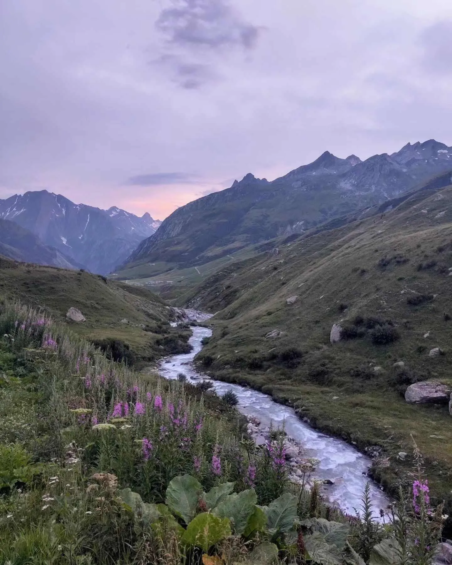
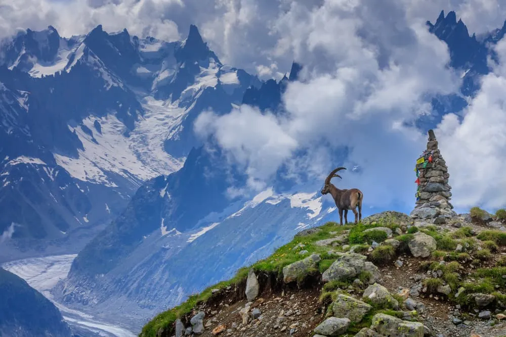
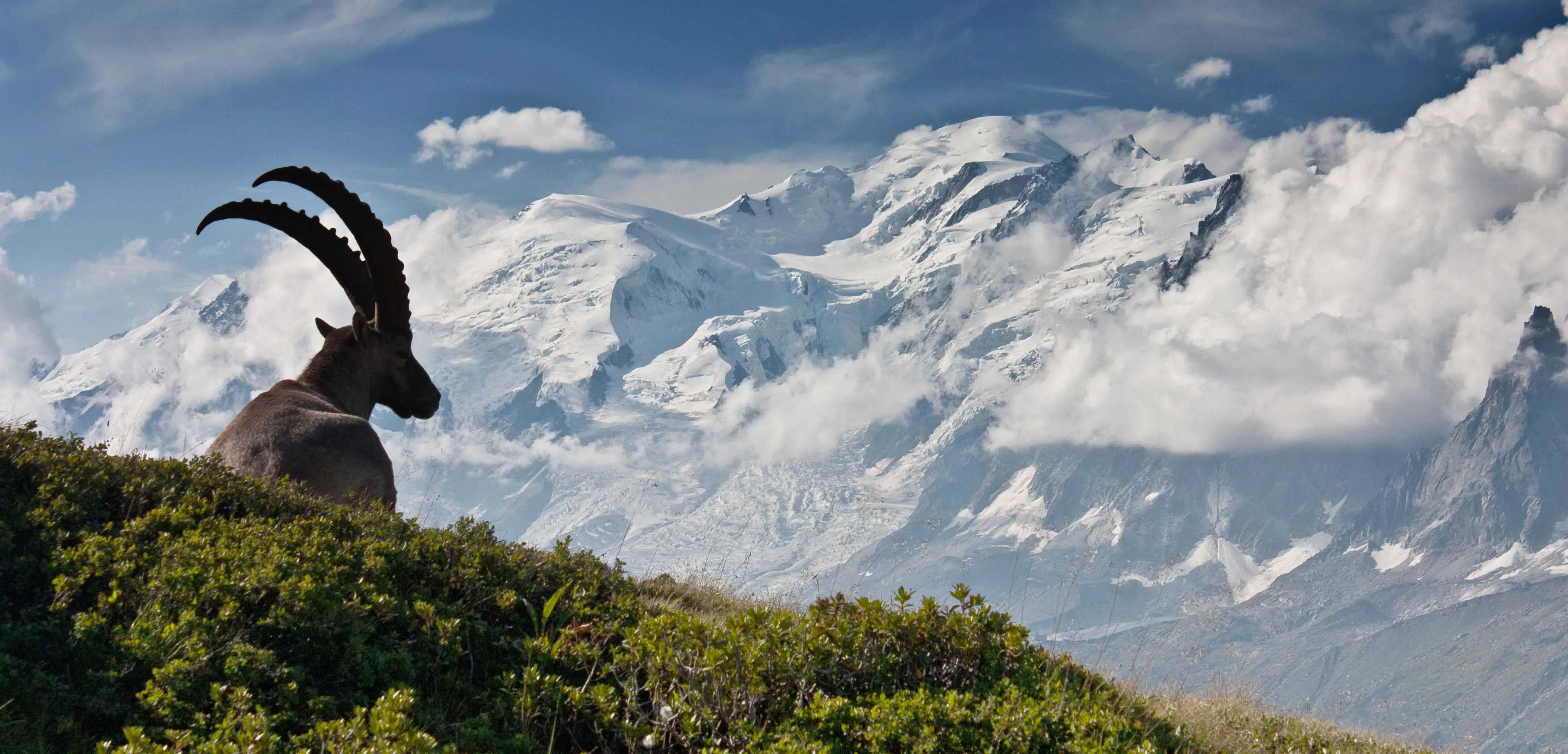
The Aiguilles Rouges side faces directly towards Mont Blanc, making it the go-to choice for views of the full massif. Five routes cover the balcony path and the chain of lakes above it.
4. Grand Balcon Sud
At a glance: start: La Flégère (about 1,880 m) or Planpraz (about 2,000 m), both by lift · time: about 2 h one way · height: mostly level · level: easy
The Grand Balcon Sud runs along the lower edge of the Aiguilles Rouges, roughly level with the mid-stations on either side. It is about 5.5 km and stays at altitude for its full length, giving uninterrupted views across the Chamonix Valley to the Mont Blanc massif. The path is mostly level, which makes it one of the most accessible high-altitude Chamonix walks. An extension to the Brévent summit (2,525 m) is possible for those who want more height. The route can be walked in either direction between La Flégère and Planpraz.
5. Lac Blanc from La Flégère
At a glance: start: La Flégère lift (or Index chairlift above it) · time: about 1 h 30 to the Refuge du Lac Blanc · level: moderate · note: busy in July and August
Lac Blanc is the best-known lake in the Aiguilles Rouges Nature Reserve. The hike from La Flégère follows a waymarked path with a steady climb. For the full route description, summit panorama and wildlife spotting details, see our Lac Blanc hike guide.
6. Lac de Chéserys
At a glance: start: Argentière · time: about 2 h 45 one way · height: about 2,210 m · level: moderate to hard
Lac de Chéserys sits just below Lac Blanc and is far less crowded. The approach from Argentière makes it a good choice if you want a quieter alternative to the main Lac Blanc trail. The path runs through the Aiguilles Rouges nature reserve, where swimming in the lakes and dogs are not permitted.
7. Lac Cornu and the Lacs Noirs
At a glance: start: Planpraz lift (about 2,000 m) · time: about 1 h 45 to Lac Cornu (2,276 m) via Col Cornu (2,414 m); about 2 h 30 to Lacs Noirs (about 2,540 m) · level: moderate to hard
Lac Cornu and the Lacs Noirs are the high-level lakes on the Brévent side of the Aiguilles Rouges. The path from Planpraz crosses Col Cornu before dropping to Lac Cornu, with a longer and more demanding option continuing to the Lacs Noirs. Snow can remain on this route early in the season. The path to the Lacs Noirs is less frequented than the routes to Lac Blanc.
8. Brévent to Refuge de Bellachat and Parc de Merlet
At a glance: start: Brévent summit (2,525 m, lifts via Planpraz) · time: about 1 h 30 down to Refuge de Bellachat; about 1 h 30 on to Parc de Merlet · level: hard
This is a long descent from the Brévent cable car station, first to the Refuge de Bellachat where there is a buvette, then continuing down to Parc de Merlet, a wildlife park where ibex and chamois can be seen. The descent includes a steep rocky section that requires care. The total elevation loss to the valley is significant, so this is not a route for tired legs.