Hiking in the Zillertal: Valleys, High-Level Trails and the Finest Hut-to-Hut Tours

Hiking in the Zillertal: Valleys, High-Level Trails and the Finest Hut-to-Hut Tours
Trekking experts per destination
Free cancellation up to eight weeks in advance
Quick personal advice

Below: a broad, well-developed main valley. Above: one of the wildest high-mountain landscapes in the Eastern Alps. Hiking in the Zillertal can be gentle or demanding, depending on whether you stay on the alpine pastures or head into one of the side valleys right up to the glaciated main Alpine ridge. Mayrhofen is the hub: from here the Zillergrund, Stillupgrund and Zemmgrund valleys branch off, along with the Tuxertal, each with its own character, its own huts and glacier views at the end. Add to that the Zillertaler Höhenstraße above the front section of the valley, Zell am Ziller and Gerlos further back, and the quieter area around Fügen and Hochfügen near the Inn Valley. A dense network of huts, two classic high-level routes and cable cars serving every altitude make the region wonderfully varied. The Zillertalbahn railway takes you as far as Mayrhofen, from where hiking buses run into the side valleys. With Bookatrekking, you book your huts in advance, get an app with offline maps, GPX tracks and a weather forecast for every hut, and choose between two routes in six lengths altogether. This guide explains the side valleys, which hut-to-hut tour suits whom, what the day hikes offer, how demanding the terrain really is, and when the best time to travel is — for anyone planning a walking holiday in Austria with real intent.


What makes hiking in the Zillertal special

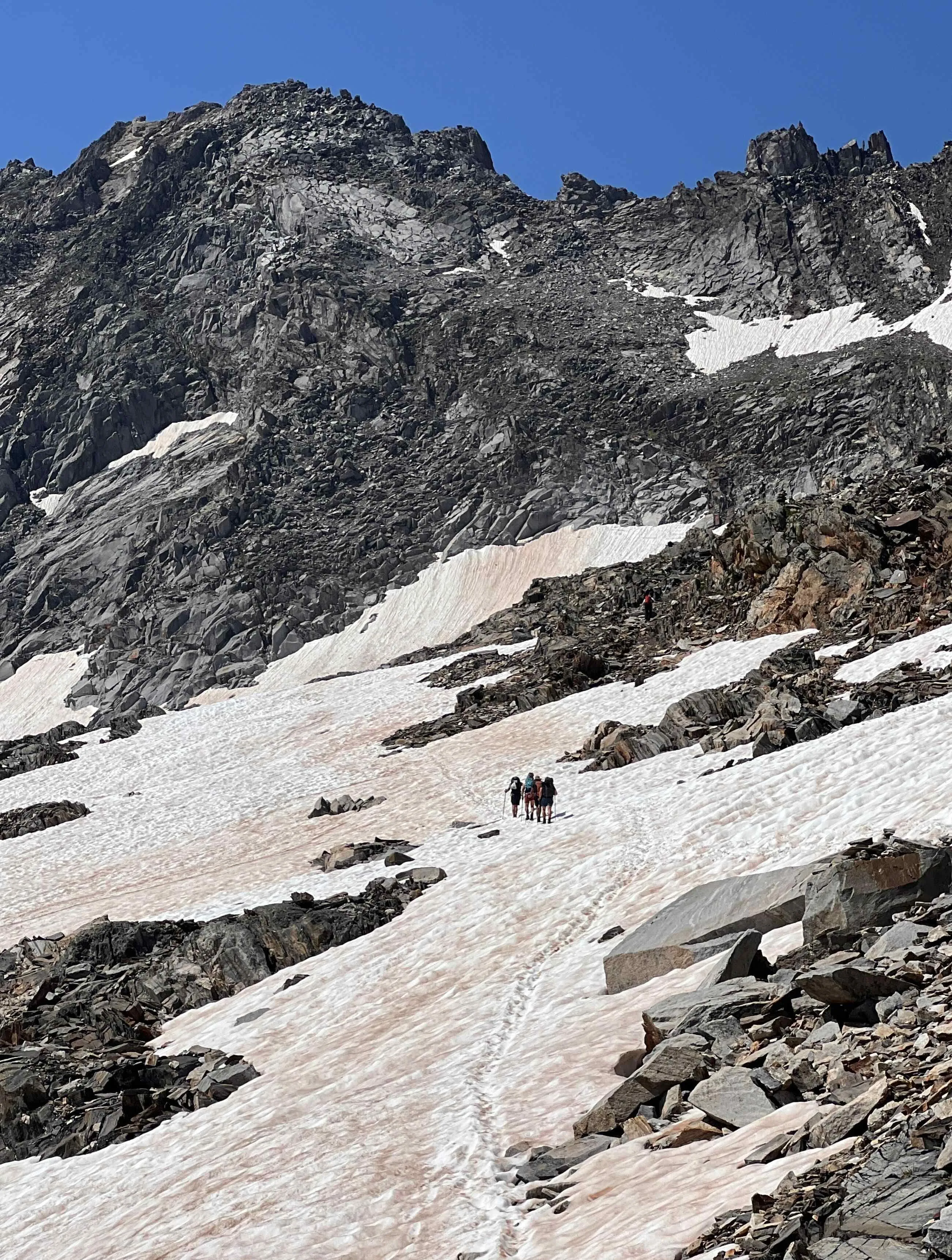
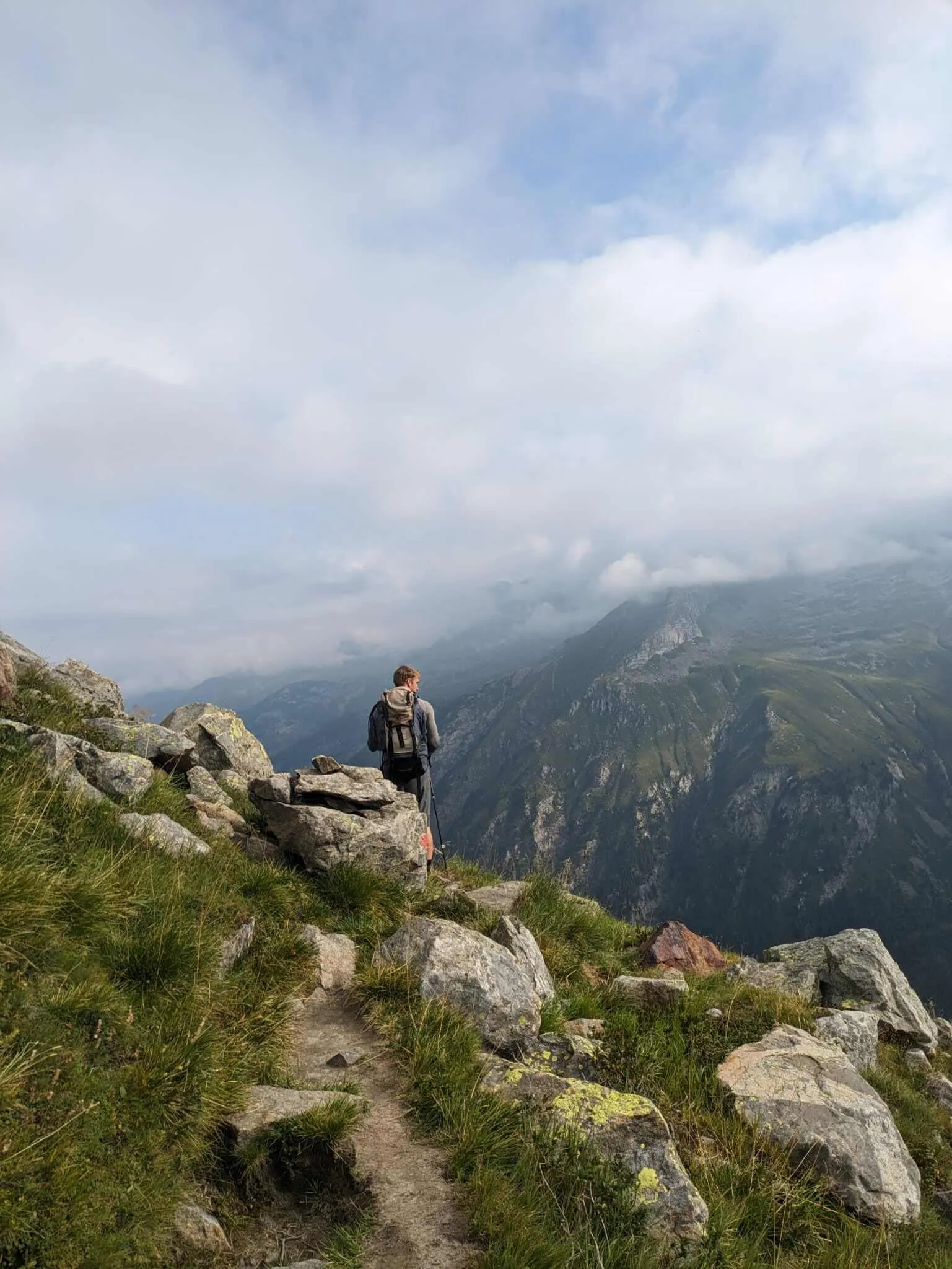
What sets hiking in the Zillertal apart isn't the location, but the layout: a long main valley with four deeply cut side valleys, all ending at the glaciated main Alpine ridge. That means you can climb from flower-strewn pastures at 1,500 metres to the edge of glacier ice in a single day, without any detour. Walks in the Zillertal combine three types of landscape in one route: the alpine pastures and mountain huts of the Höhenstraße at the front of the valley, the reservoirs and mountain forests in the side valleys, and the rougher, boulder-strewn terrain with glacier views at the head of each valley.

What makes the logistics straightforward: a dense network of huts along the high-level routes means you're always within reach of a night's accommodation by the end of a day's stage. Cable cars shorten the long ascents at several points. Hiking buses serve the closed or toll-restricted side valleys. The Zillertalbahn connects the whole valley as far as Mayrhofen directly to the Austrian rail network.

Compared with the Ötztal or Stubaital, the Zillertal has more waymarked multi-day high-level routes per kilometre of valley and a fuller, more tourist-friendly main valley. That's neither an advantage nor a drawback — it's simply a matter of purpose: hiking in the Zillertal means choosing from a wealth of combinations of alpine pasture, side valley, high-level trail and main ridge.


Mayrhofen, Tux, Zell or Fügen: which side should you start from?

For hikers unfamiliar with the area, the key question isn't "where is the Zillertal", but: which town leads where?

Mayrhofen is the central starting point for the most demanding hiking areas. From here, routes lead into all four southern valleys: Zillergrund, Stillupgrund, Zemmgrund and Tuxertal. The Ahornbahn and Penkenbahn cable cars lift you up to the high-level routes without a long approach on foot. Both classic multi-day high-level routes start in or near Mayrhofen. Mayrhofen is reachable by the Zillertalbahn from Jenbach, and hiking buses run from there into the individual side valleys.

Tux and Hintertux lie at the end of the Tuxertal and offer a different character: here the valley ends at the Hintertux glacier, with a cable car up into the glacier zone. Choosing the Tuxertal as your starting point takes you straight into high-alpine terrain, without first passing through the busier main valley.

Zell am Ziller and Gerlos open up the Zillertal Arena in the wider, rear part of the valley. From here you can reach the Gerlos Pass region, alpine pasture circuits and cable cars well suited to panoramic walks and quieter day hikes.

Fügen, Kaltenbach and Ried are the gateways to the front section of the Zillertal, with the Zillertaler Höhenstraße and the Spieljoch above Hochfügen. This corner lies closer to the Inn Valley, is less crowded and is well suited to quieter walking days.

Behind the main Alpine ridge lies South Tyrol, with the Ahrntal and Pfitscher Joch as its direct neighbour. The Peter Habeler Runde touches this crossing point. On our guided tours you don't need a car: all starting points are reachable by rail, and the huts along the route are booked as part of the package.


Hiking in the Zillertal: the finest side valleys compared

The finest walks in the Zillertal depend on which sub-region you choose as your starting point. Here's an honest comparison of the five main areas.

Mayrhofen and the side valleys: Zillergrund, Stillup and Zemmgrund

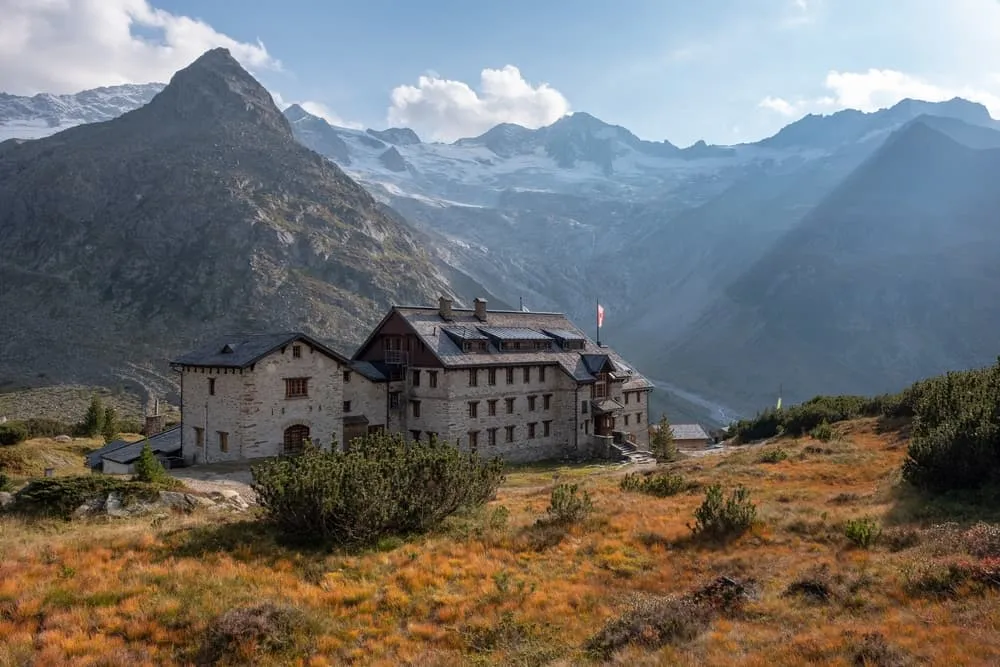
Hiking around Mayrhofen essentially means heading into one of the three southern side valleys. The Zillergrund runs through a long basin with a reservoir all the way to the border glaciers. The Stillupgrund is narrower and wilder, with an impressive gorge in its lower reaches and quiet pastures higher up. The Zemmgrund is the access route to the Berliner Hütte, one of the oldest and best-known Alpine Club huts in Tyrol, and to the rugged heart of the Zillertal Alps Nature Park.

Hiking around Mayrhofen means deciding at the outset whether you want alpine-pasture character at 1,200 metres or high mountains at 2,000 metres. The side valleys become more demanding with every kilometre. At the head of each valley, glacier views come as standard. Compared with the Höhenstraße and the areas at the front of the valley, the terrain here is rougher and there are noticeably fewer people in the side valleys.

Tuxertal and Hintertux

The Tuxertal branches off west of Mayrhofen and follows its own logic: the cable car at Hintertux takes you up into the glacier zone without hours of climbing on foot. Waterfalls, alpine pastures and broad grazing paths characterise the lower section. Higher up it quickly becomes high-alpine, and the glacier here is the only one in the Eastern Alps accessible year-round. For day hikers, the Tuxertal is a good choice if you want maximum altitude with the shortest possible ascent. Compared with the Zemmgrund, the route is shorter and less technical.

The Zillertaler Höhenstraße

The Zillertaler Höhenstraße links the front section of the valley along a contour line between Ried, Kaltenbach and Zellberg. It isn't a single hiking trail but a network of pasture paths and viewpoints with constant views of the glaciated main ridge. Huts and snack stops are spaced at regular intervals. The terrain suits beginners and families, since the altitude is comfortable from the outset and the paths demand little technical skill. Anyone after the most spectacular close-up glacier views needs to head into the side valleys or onto the high-level routes. Anyone after a relaxed day with panoramic views and somewhere to stop for refreshments is in the right place here.

Zell am Ziller, Gerlos and the Zillertal Arena

From Zell am Ziller and Gerlos you can access a further network of alpine pastures, cable cars and reservoirs in the Gerlos valley. The Gerlos Pass is one of the finest pass crossings in eastern Tyrol. The cable cars at Zell and Gerlos lift you into a network of paths well suited to alpine pasture circuits and panoramic walks without much exertion. The area is more spread out than the side valleys and works well for multi-day walking holidays based in one place. Compared with Stillup or Zemmgrund, you miss out on the glacier views, but the landscape is greener and gentler.

Front Zillertal: Fügen, Hochfügen and Spieljoch

Hiking in the Zillertal in the front section around Fügen has a different rhythm. The Spieljoch above Hochfügen is conveniently reached by the Spieljochbahn cable car and offers pasture circuits with views over the Inn Valley and the Zillertal mountains. The Kellerjoch and the pastures around Hochfügen see fewer visitors than the areas around Mayrhofen. Hiking in the Fügen area of the Zillertal is especially appealing for anyone seeking peace and quiet, a shorter journey from the Inn Valley, and pleasant half-day walks, without joining the crowds around the Ahornbahn or Penkenbahn.


Multi-day tours in the Zillertal: hut-to-hut routes in two options and six lengths

A hut-to-hut tour in the Zillertal means: hut to hut on Alpine Club huts, with dormitory bunks or shared rooms, half-board, your own sleeping bag liner and mandatory booking. No luggage transfer, no hotel comfort. In return, you get evenings at 2,000 to 2,500 metres with views of glaciers and peaks you crossed the day before.

At Bookatrekking, we offer hut-to-hut tours in the Zillertal on two fundamentally different routes, in six variants altogether.

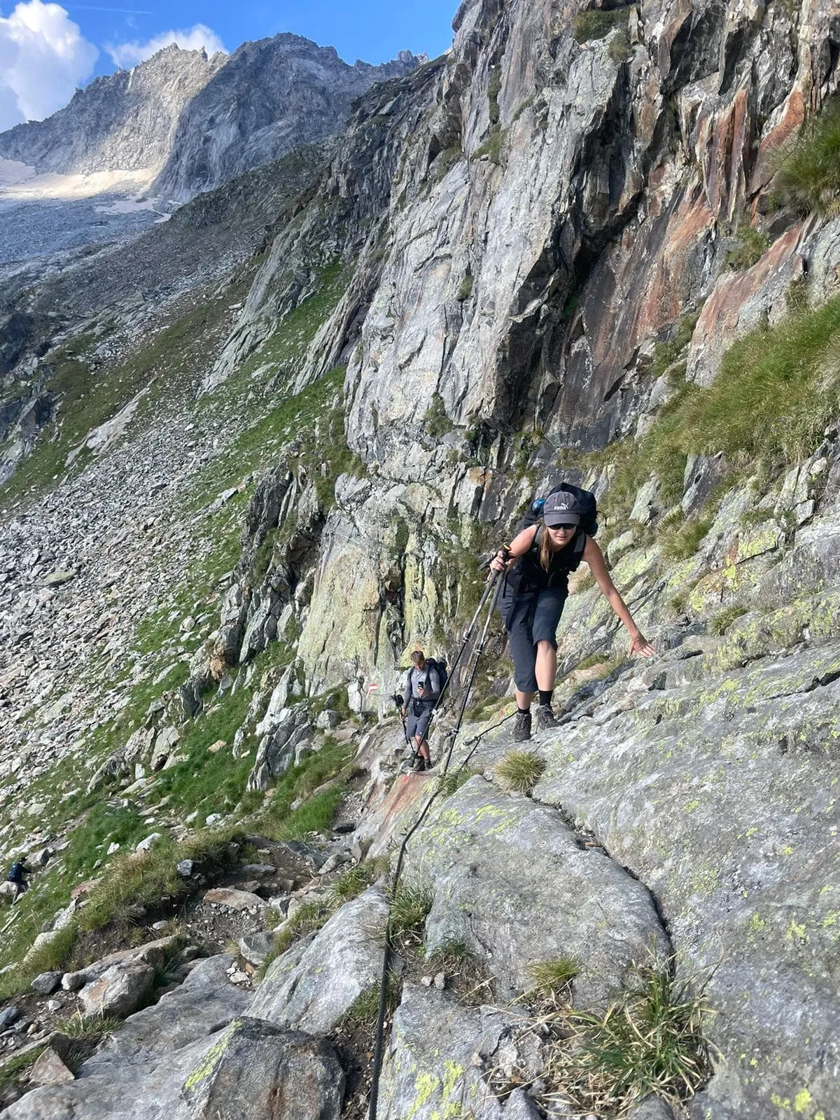
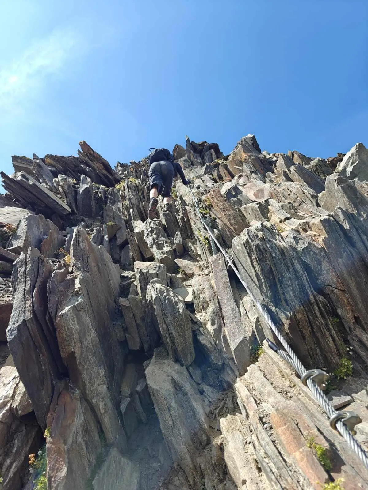
The first route is a rugged classic high above the side valleys. The terrain is rocky and boulder-strewn, the days are long, and some sections are secured and demand a sure foot and a good head for heights. This route is intended for experienced mountain hikers used to high-alpine terrain. If you're short on holiday time but have plenty of experience, choose the four-day express version of the Berliner Höhenweg, which links the core section in a compact format. If you want a first taste of the classic without walking the whole route, choose the half Berliner Höhenweg over five days. If you want to walk the full arc across all the huts, book the complete Berliner Höhenweg over eight days.

The second route is a circuit around part of the main ridge, with crossings into South Tyrol. The character is gentler than the rougher classic, but genuine pass crossings and long stages are still part of the programme. This circuit is considered the more accessible of our two Zillertal routes. If you're experienced but only have an extended weekend, choose the three-day advanced Peter Habeler Runde, with compact, long days. If you have a week and want a more intensive version, you'll find it in the intensive five-day Peter Habeler Runde. The classic six-day Peter Habeler Runde is the most accessible of our Zillertal tours and makes a good first hut-to-hut tour in genuine high mountains.

If you're considering a hut-to-hut tour in Austria for the first time, our blog The 5 best hut-to-hut tours in Austria for beginners is a good place to get your bearings before deciding.


The Berliner Höhenweg and Peter Habeler Runde in brief

The Berliner Höhenweg links the huts high above the side valleys south of Mayrhofen. The route is rugged, exposed in places, with long days and terrain that calls for experience on rocky, boulder-strewn ground. The Peter Habeler Runde circles part of the main Alpine ridge with crossings into South Tyrol and is considered the more accessible of the two tours, without skipping genuine high-mountain sections. We offer both routes in several lengths, as described in the section above.

You'll find the full stage-by-stage description of the Berliner Höhenweg in our detailed Berliner Höhenweg blog, and the description of the Peter Habeler Runde in the Peter Habeler Runde blog.


Day hikes in the Zillertal: alpine pastures, cable cars and easy walks

If you don't fancy walking several days in a row, the Zillertal still has plenty on offer. The principle is simple: a cable car or the Zillertaler Höhenstraße gets you up to pasture level, from where you do a circuit or head back down. That's precisely why easy walks in the Zillertal are so popular — you skip the long approach climbs and get straight into the landscape the valley is known for.

Examples of day hikes without a hut overnight:

  • Ahorn alpine pasture circuit from Mayrhofen: Take the Ahornbahn up to the pastures, then a circular walk with views of the Zemmgrund and the glaciers on the main ridge.
  • Penken high-level path: From the Penkenbahn, a traverse at high altitude with views into the main valley and across the Zillertal Alps.
  • Alpine pasture circuit on the Zillertaler Höhenstraße: An easy high-level walk between the pastures of the front section of the valley, ideal with a stop for refreshments.
  • Valley path in the Zillergrund to the reservoir: A flat path through the Zillergrund to the reservoir, one of the quietest valley walks in the area.
  • Waterfall path in the Tuxertal: Along the watercourses in the Tuxertal through dense forest and over alpine meadows.
  • Spieljoch from Fügen: Take the Spieljochbahn up to the top station, then short pasture circuits with views over the Inn Valley.

Hiking in the Zillertal with children works best with a cable car for the ascent and a short pasture circuit with a refreshment stop as the goal. Reservoir paths in the side valleys and adventure trails at the cable car stations are further options. To be honest: the high-level routes and the main Alpine ridge aren't suitable terrain for young children. If you're travelling with children, it makes sense to stay at pasture altitude and make full use of the cable cars.

A Zillertal hiking secret tip isn't a single trail but a strategy: rather than heading for the cable car stations and the crowds, knowledgeable hikers choose the side valleys — Zillergrund, Stillupgrund or Zemmgrund — early in the morning, on weekdays, and without using the cable car. The front section of the valley around Fügen is in any case less well known and surprisingly quiet, even in peak season.

Easy walks in the Zillertal are plentiful on the Höhenstraße, on the valley paths along the Ziller, at the reservoirs and on the pasture paths from the cable car stations. "Easy" here doesn't mean "no fitness required", though: the altitude makes itself felt, and if you rarely hike, take the first few hours steadily.


How demanding is hiking in the Zillertal — and who is it suited to?

The Zillertal has gentle alpine pastures and genuine high mountains. The difficulty depends almost entirely on altitude and which sub-region you're in.

On the Zillertaler Höhenstraße, on valley paths and pasture circuits, you need fitness but no technical experience. The terrain suits beginners, as long as distances are chosen realistically.

In the side valleys, the terrain becomes steeper, rougher and less well marked as you gain height. Beyond a certain altitude you're in high-mountain terrain, and the paths become correspondingly more demanding. If you're heading to the head of a side valley for the first time, do it in good weather and with plenty of time in hand.

On the high-level routes, you need a sure foot on boulder-strewn ground, a good head for heights on secured sections, and the stamina for long days without regular access to mountain huts serving food along the way. This isn't technical mountaineering, but it's a good deal more than a stroll.

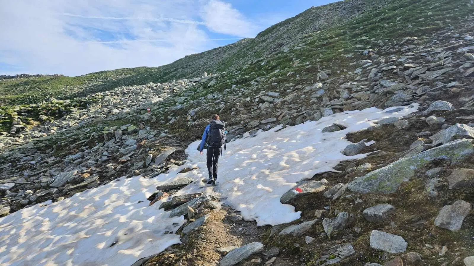
Sticking points across the region: old snow can linger on shaded slopes into July and make paths impassable. Thunderstorms often build quickly in the afternoon, especially on exposed pass crossings. Wet boulder terrain is slippery and often underestimated. Grazing livestock on the paths is normal and should be given a wide berth.

Who suits what? Beginners are well catered for on the Höhenstraße and valley paths. Families with children aged roughly eight to ten manage well on pasture circuits combined with a cable car. Experienced mountain hikers will find their challenge on the high-level routes.

Among our tours, the classic six-day Peter Habeler Runde is the most accessible option for a first hut-to-hut tour in genuine high mountains. The three-day advanced Peter Habeler Runde and the extended four-day Berliner Höhenweg Express are designed for experienced hikers short on holiday time. The complete eight-day Berliner Höhenweg is the longest and most demanding of our Zillertal tours.


Best time to travel to the Zillertal

June: The main valley is green and the alpine pastures are opening up. On the high-level routes, snowfields often still lie in shaded hollows, blocking certain sections. Huts open gradually over the course of the month. If you want to hike early in the season, check the current state of the paths before setting off and start with quieter, lower-lying routes.

July and August: Peak season. All the huts are open, and the high-level routes are generally free of snow and passable. The cable car stations are busy. Afternoon thunderstorms are more frequent during this period than in September and should factor into your day's planning. Even so, July and August offer the greatest planning certainty for multi-day hut-to-hut tours.

September: The best time in the Zillertal for most hikers. The weather is more stable, visibility is clearer, the crowds at the cable car stations are noticeably thinner, and the cattle drives down from the pastures give the valley its own particular atmosphere. The first huts close towards the end of September. If you're planning a trip for late September, check the opening status of every hut on your route directly.

October to May: The high-level routes aren't a hiking prospect during this period. Valley paths and the Zillertaler Höhenstraße are passable depending on snow conditions, but the hut network on the high-level routes is closed. Our hut-to-hut tours are summer tours, bookable for the period when every hut on the route is open.

For the current weather forecast at each hut and stage location: the Bookatrekking app shows the weather based on the coordinates of each hut, so you're not reliant on general regional forecasts.


Accommodation and luggage transfer in the Zillertal

On a hut-to-hut tour in the Zillertal, you stay in Alpine Club huts. Options range from dormitory bunks in shared rooms to multi-bed or twin rooms. Half-board is standard: dinner and breakfast are generally included in the overnight price. You should bring your own sleeping bag liner, as it's compulsory or at least recommended on almost all huts.

Important: in peak season, huts on popular routes fill up quickly, sometimes months in advance. That's why booking isn't an optional step — it's a requirement. With Bookatrekking, all hut overnight stays for your booked route are reserved in advance as part of the package. You won't spend each evening hoping for a free bed; you'll know before you set off exactly where you're staying each night.

There's no luggage transfer on the high-level routes in the Zillertal. You carry everything yourself: sleeping bag liner, spare clothing for several days, rain protection, food for the day. Packing light pays off. The Bookatrekking app provides offline maps, GPX tracks and the weather forecast for each hut location, so you're not dependent on a signal along the way.

If you're planning your first hut-to-hut tour in Austria and aren't sure what to expect on the route, our blog The 5 best hut-to-hut tours in Austria for beginners is a good place to start.


Which tour suits you? Hiking in the Zillertal by time budget

Tour Days Who it's for Character Book
Advanced Peter Habeler Runde 3 days Experienced hikers short on time Long days, pass crossings in a compact format View tour
Extended Berliner Höhenweg Express 4 days Experienced hikers short on time The rugged classic in a fast-track version View tour
Half Berliner Höhenweg 5 days An introduction to the classic Half the route, full high-mountain scenery View tour
Intensive Peter Habeler Runde 5 days Experienced hikers with a week The circuit with longer stages View tour
Peter Habeler Runde 6 days First hut-to-hut tour in high mountains The most accessible of our Zillertal tours View tour
Complete Berliner Höhenweg 8 days Anyone wanting the full arc The complete high-level route, our longest tour View tour

Current prices, dates and exact inclusions can be found on the relevant trip page.

Choosing guide: First hut-to-hut tour in genuine high mountains? Then the six-day Peter Habeler Runde is the sensible starting point. Experienced, but only have an extended weekend? Go for the three- or four-day version. A week's holiday and fancy the classic? The half route over five days is a good compromise. Two weeks and plenty of high-mountain experience? The complete Berliner Höhenweg over eight days. Still unsure whether a hut-to-hut tour is right for you? Start by reading the blog The 5 best hut-to-hut tours in Austria for beginners. Only planning day hikes? Then a base in Mayrhofen or Tux is the right choice.

On navigation: all our routes follow marked paths. In the Bookatrekking app, you'll find the GPX track and offline map for your booked tour, so you always know where you are, even without mobile signal. For an overview of all the walking holidays we offer in Austria, visit the overview page for walking holidays in Austria.


Frequently asked questions about hiking in the Zillertal

  • Which walk in the Zillertal is the finest?

    The finest walk in the Zillertal depends on what you're after. An alpine pasture circuit on the Zillertaler Höhenstraße is the highlight for beginners and families. The head of the Zillergrund valley, with its glacier views, ranks among the most striking day-hike destinations in the area. A section of one of the two high-level routes is the most intense option for experienced hikers.

  • Which walk around Mayrhofen is the finest?

    The Ahornbahn pasture circuit and the Penken high-level path are the best-known options for day hikers around Mayrhofen. If you want close-up glacier views, head into the Zemmgrund as far as the valley head. For multi-day tours, Mayrhofen is the starting point for both high-level routes — find out more in the route blogs linked above.

  • What easy walks are there in the Zillertal?

    Easy walks in the Zillertal can be found on the Zillertaler Höhenstraße, on the valley paths along the Ziller, on the reservoir paths in the side valleys, and on the pasture paths from the cable car stations. Cable cars considerably shorten the climbs. "Easy" here assumes basic fitness, since the altitude is noticeable even on flat paths.

  • What secret tips are there for hiking around Mayrhofen?

    The best secret tip for hiking around Mayrhofen is to go early and head into the side valleys rather than to the cable car stations. Stillupgrund and Zillergrund are noticeably quieter in the morning than the busy cable cars. Weekdays and the front section of the valley around Fügen are also considerably less crowded than the centre of Mayrhofen at weekends.

  • What hiking trails are there around Mayrhofen?

    Mayrhofen offers valley paths in the main valley, pasture paths from the Ahornbahn and Penkenbahn, routes into all four southern valleys (Zillergrund, Stillupgrund, Zemmgrund, Tuxertal), and the starting points for both classic high-level routes. Full details of the stages on the high-level routes can be found in the Berliner Höhenweg blog and the Peter Habeler Runde blog.

  • Which mountain hikes in the Zillertal are the finest?

    The most striking mountain hikes run along the stages of the two high-level routes above the side valleys and on the pass crossings along the main ridge. If you want to experience the character of the high mountains without a multi-day hut-to-hut tour, follow a well-marked path into one of the side valleys as far as its head. The combination of reservoir, alpine pasture and glacier views in a single ascent is hard to beat.

  • Which alpine pasture in the Zillertal is the finest?

    A ranking would be dishonest: the pastures on the Zillertaler Höhenstraße offer easy access and broad views into the main valley. The pastures in the side valleys are quieter and sit closer to the high mountains. Which suits you better depends on whether you prefer refreshments and views, or solitude and glacier scenery.

  • Which high-level route suits beginners?

    The classic six-day Peter Habeler Runde is the most accessible of our Zillertal hut-to-hut tours and is recommended as a first hut-to-hut tour in genuine high mountains. If you've never done a hut-to-hut tour before and want to try something gentler first, you'll find guidance in the blog The 5 best hut-to-hut tours in Austria for beginners.


    The Zillertal is our strongest hut-to-hut region in Austria, with two bookable routes, six variants, and huts reserved from day one. If you'd like to compare other hiking regions in Austria after the Zillertal, you'll find all the options on the overview page for walking holidays in Austria. For a broader overview of the finest trekking routes across the whole country, see the blog Hiking in Austria: The 7 best trekking routes. If you'd rather start with a gentler hut-to-hut tour before tackling the Zillertal Alps, you'll find the right starting point in The 5 best hut-to-hut tours in Austria for beginners. And directly behind the main Alpine ridge lies South Tyrol — the neighbour that the Peter Habeler Runde touches on one of its crossings.

Packing List for the Berliner Höhenweg

It doesn't matter where you are trekking or for how long: carrying the right equipment with you is paramount. For a hiking trip in the mountains, a good is backpack essential. Its size will depend on how many days you will be spending in the mountains, the season, and the clothes you will be taking with you. We have prepared a packing list with some essential clothing that you should include and some extras that you may find useful:
  • Essentials

  • Extras

Safe Hiking Tips for the Berliner Höhenweg

When hiking, it is wise to be aware of a few points. Even if this is not your first time, you should never underestimate the mountains. Good tour planning and compliance with the regulations in the mountains will significantly increase safety. To ensure that your hiking adventure is a safe and enjoyable experience, here below you can find a list of 8 recommendations for safe hiking in the mountains:
  • Know your limits

    Hiking the Berliner Höhenweg is the perfect outlet to escape from daily life. It is an endurance sport along with a beautiful nature experience with a positive effect on body and mind —as long as one is in good shape and has a realistic picture of one's possibilities and limits—. Never overestimate yourself or underestimate the route. Don't overdo it! Always choose the slower option and take more time for your plans. Hiking under time pressure is not fun and at too fast a pace it can be dangerous. Be wise!

  • Plan carefully

    Good planning is half the work! Hiking maps, literature, the Internet and expert advice are invaluable when planning the route of the Berliner Höhenweg and enable you to determine the length, altitude difference, difficulty and conditions of the hike. When planning group treks, the itinerary should always be planned for the weakest member of the group! The weather in the mountains can change incredibly quickly and rain, wind and cold all increase the risk factor. For this reason, always check the weather forecast beforehand and contact our trekking experts to find your way before you start.

  • Be fully equipped

    Equipment is everything. In the most extreme case, it makes the difference between life and death, and in any case, it definitely makes the difference between having fun and having a bad time. Food and water, sunscreen and waterproof and warm clothes must always be in your backpack, as well as a first aid kit and a mobile phone with a full battery (in case there is an emergency). However, packing light makes hiking easier, so don't take too much extra luggage with you. Your equipment should always be suitable for the terrain you'll be hiking on in the Berliner Höhenweg.

  • Wear suitable footwear

    Good walking shoes protect your feet and provide a better fit. Shoes with a good fit, with non-slip soles, water-resistant and lightweight are a must for additional walking pleasure during the Berliner Höhenweg. Trail running shoes are great for a weekend in the mountains, but on longer hikes or more technical trails, you'll want at least A/B hiking boots. That means it is recommended wearing high mountain shoes that are water-repellent with extra ankle support to prevent sprains.

  • Stay on marked trails

    Berliner Höhenweg has endless marked hiking trails, which are controlled and maintained and should not be deviated from. It may be tempting, but it's not a good idea to take shortcuts or alternative routes through unmarked terrain. It increases the risk of disorientation and you're more likely to get lost and have accidents or fall in the mountains. Even steep slopes of packed old snow are often underestimated and dangerous. Are you in doubt? Better don't do it. For easy navigation we work with our trusted partner Komoot, whose interactive maps, also available offline, provide you with the necessary digital means to get from A to B. As a backup, make sure to bring a hiking guide or a paper map with you. FYI, 75% of stumbles occur due to carelessness on marked paths or roads, not in open terrain!

  • Take regular breaks

    Remember you're on a hiking trip. Timely and regular breaks not only provide welcome relaxation but also make it possible to enjoy the Berliner Höhenweg. The body needs a regular food and drink intake to maintain performance and concentration. Our advice is that if you have little time, it's better to follow the short itinerary than to speed up the long one.

  • Stay reachable

    If you are hiking solo or in small groups it is advisable to inform people back home about your plans, what route you are taking and when you plan to return. Even small incidents can lead to unpleasant emergencies so make sure you are available at all times. Bring a charged phone containing at least the phone numbers of immediate family members, your accommodations en route and the emergency phone numbers operating on the Berliner Höhenweg.

  • Respect nature

    Leave no rubbish behind, prevent noise, stay on the marked trails, do not disturb wildlife or grazing animals, and respect protected areas.

Where Can I Book the Berliner Höhenweg?

At Bookatrekking.com you can book the self-guided Berliner Höhenweg and many other treks. We take care of all the details for you, including arranging accommodations and providing you with relevant information well in advance of your trek. Find our offers here. Our easy-to-use platform allows you to browse and compare different trekking options and to find the perfect fit for your interests, abilities, and budget.

If you have any questions about a specific trek or need help choosing the right one for you, our team of trekking experts is here to assist you. Simply reach out to us and we will be happy to provide you with personalized recommendations and advice to help you plan the trekking adventure of a lifetime.

About Us

At Bookatrekking.com, you will find the trek that will make your life unforgettable. Whether you want to explore the Inca Trail or climb Kilimanjaro. Bookatrekking.com has a wide and varied range of first-class treks. No false promises are made here. Transparent prices and bookings are fixed instantly. Find, compare, book and trek!
Read more about us
About Us
About Us