By Rintsje Bosch
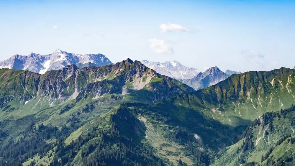
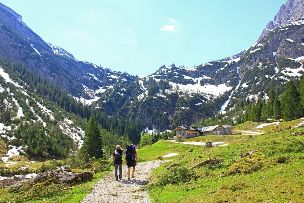
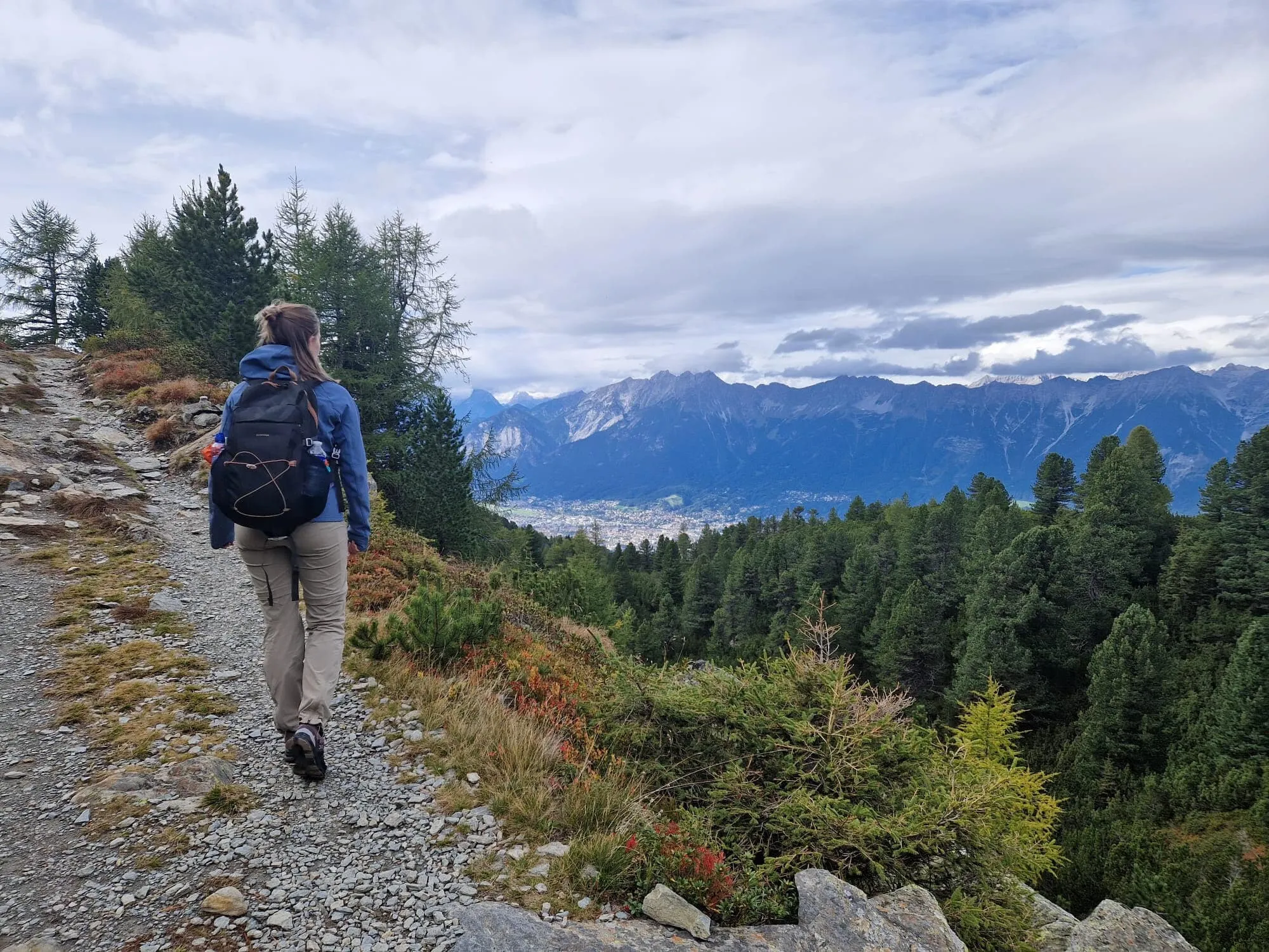
The Allgäu isn't a single, uniform hiking area, and that's exactly what makes it special: hiking in the Allgäu can mean strolling along grassy ridges with views of Lake Constance, walking through a deep rocky gorge, spending days moving from hut to hut in the high Alps, or taking a cable car up to an alpine pasture with young children in tow. Which of these faces you encounter depends almost entirely on which sub-region you start from. The Allgäu High Alps around Oberstdorf with the Nebelhorn and Fellhorn and long valleys, the grassy Nagelfluh chain between Oberstaufen and Immenstadt, the Hörner villages in the Oberallgäu, the Ostallgäu around Füssen and Pfronten with the Tegelberg and its lake views, and the Westallgäu as hilly pre-Alpine country: these are five very different hiking characters within one region.
For many people, the Allgäu is the most obvious Alpine region of all: a dense network of huts, cable cars on almost every ridge, and a short journey from Munich, Stuttgart and Ulm. At Bookatrekking we offer a bookable multi-day tour from Oberstdorf into the Kleinwalsertal, with organised overnight stays, a GPX track, offline map and a weather forecast for each stage in our app. Beyond that, this guide will help you work out which of the well-known hut tours suits you, and which sub-region makes the best starting point. This guide covers: a comparison of the sub-regions, multi-day tours, day tours, difficulty, best time to go, accommodation, and an honest guide to choosing.