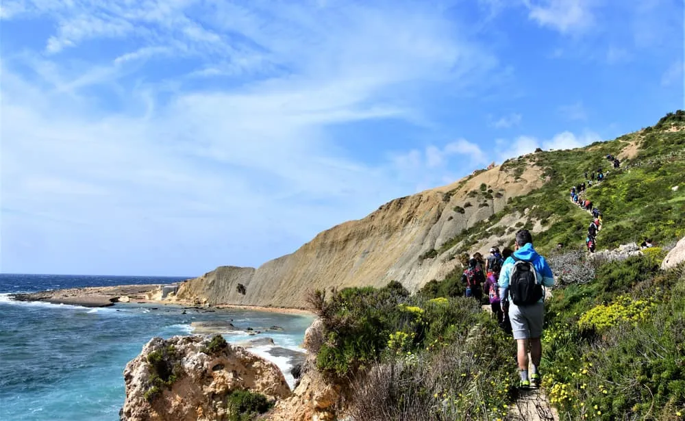
Malta hikes range from a short stroll to a full day on exposed coastal paths. These are the hiking trails in Malta worth building a day around.
Dingli Cliffs walk
Start: Dingli village · Distance: about 4 km there and back · Type: return · Level: easy · Getting there: taxi or bus to Dingli
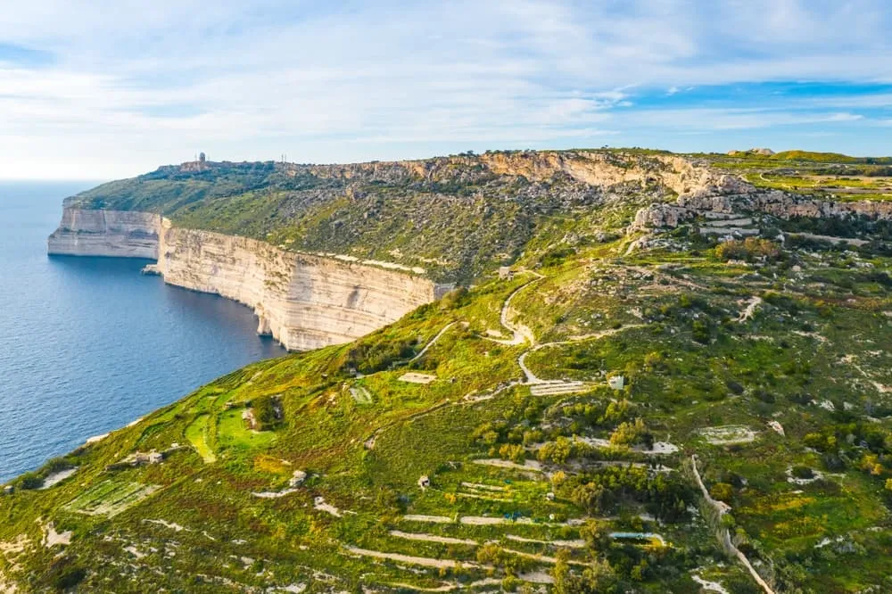
The Dingli Cliffs walk is the best-known walk on Malta. The plateau runs along the cliff top, with the Chapel of St Mary Magdalene as a turning point and the islet of Filfla floating in the sea below. The path is unfenced: stay well back from the edge, particularly in wind. Late afternoon light is exceptional here.
Golden Bay to Għajn Tuffieħa and Ġnejna (Majjistral)
Start: Golden Bay · Distance: about 2 to 8 km, depending on the paths you choose · Type: one way or loop · Level: easy to moderate · Getting there: bus to Golden Bay
The Majjistral Nature and History Park begins just beyond Golden Bay beach and opens into a network of clay paths, garigue scrub and cliff-edge tracks. The Għajn Tuffieħa watchtower dates from the 17th century and marks the headland. You can extend toward Ġnejna Bay for a longer, wilder version, or turn back early for an easy morning.
Marfa Ridge and the Red Tower
Start: Għadira Bay · Distance: about 14.5 km · Type: loop · Level: moderate · Getting there: bus or taxi to Għadira Bay
The Marfa peninsula is the narrow finger of land at Malta's north tip. The ridge walk takes you to Aħrax Point, the most exposed corner of the island, then inland to the Red Tower (Santa Agatha's Tower), with panoramic views of Comino and Gozo. There is almost no shade and few facilities beyond Armier Bay: carry water and go early in the day.
Paradise Bay to Ċirkewwa
Start: Paradise Bay · Type: one way, short · Level: easy · Getting there: taxi or bus
Malta's northern edge, this short coastal section ends at the Gozo ferry terminal at Ċirkewwa. It makes a natural warm-up walk before the crossing, especially if you are starting the Gozo Trail that afternoon.
The Victoria Lines
Start: Binġemma or Mosta · Distance: the full trail is about 16 km one way with around 400 m of ascent; most walkers choose a section · Type: one way · Level: moderate · Getting there: taxi to the start, bus from the finish
The Victoria Lines follow the Great Fault scarp across Malta. Built by the British between 1875 and 1899 to protect the harbour area against an invasion from the north, the walls and small forts are still visible along much of the route. Some central sections are difficult to follow where roads interrupt the route: check your progress on the map as you go.
Marsaskala to Marsaxlokk via St Thomas Bay
Start: Marsaskala · Type: one way · Level: easy · Getting there: bus to Marsaskala, bus back from Marsaxlokk
The quieter south-east coast offers easy walking past St Thomas Bay and along low rocky shores to Marsaxlokk, known for its colourful luzzu fishing boats. This is one of the most accessible Malta walks for those who want a half-day without serious terrain.
Comino round walk
Start: Blue Lagoon · Distance: about 6 km · Type: loop · Level: easy · Getting there: small boat from Ċirkewwa or Mġarr
The Santa Marija Tower (1618) is the centrepiece of the Comino loop, set on open garigue with views in every direction. There are almost no facilities on the island: carry enough water. Since 2025 the Blue Lagoon has a free online booking system with time slots, so check the current access rules before you go.