Call us on: +31 850161354
    Languages
  • English
  • Español
  • Deutsch
  • Nederlands
    Currencies
  • € Euro
  • £ British Pound
  • USD $
  • CAD $
  • SEK
  • NOK
  • DKK
  • AUD $
  • CHF
  • NZD $
  • ZAR
  • HK $
  • SGD $

Do you want to climb Mount Kilimanjaro in the rainy season? Choose the Rongai Route. The north side of Kili sees less rainfall and is, therefore, the first choice outside peak season. Do you want to enjoy the Kilimanjaro in relative peace? The Rongai is again a good choice. Although popularity is increasing each year, the numbers are much lower than on routes such as the Machame and the Marangu.

Last update: July 2022

Are you looking for a less technical Kili route? The Rongai is your match. It is one of the routes that you can hike with less experience. The slopes are less steep and are easy to hike. The landscape on the north side is less varied than on the other side of the Kilimanjaro, but for that, you get a unique rugged mountain landscape in return.

Rongai Itinerary


Day 1 - Rongai Gate - Rongai Cave (8 kilometres - 5 miles, 3-4 hours, 883m - 3000ft elevation)
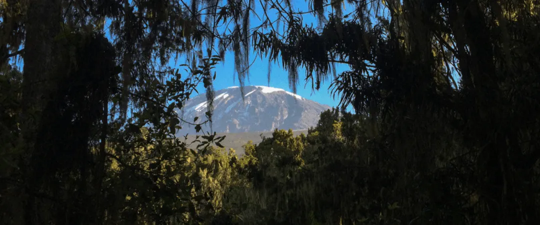
We drive from Moshi to Marangu Gate where we arrange our permits. From here there is a short transfer to the trailhead at Rongai Gate. The path meanders through maize and potato fields and then climbs steadily through the forest. Here you will find a variety of wildlife, including the black and white colobus monkey.

Day 2 - Rongai Cave - Second Cave Camp - Kikelewa Cave (12 kilometres - 8 miles, 6-8 hours, 760m - 2500ft elevation)
We continue our way with a steady hike on a long slope. After a few hours of heathlands we arrive at Second Cave Camp. Some tour operators choose to proceed to Third Cave Camp from here. However, we are going here for the detour via Mawenzi Tarn. Acclimatization is one of the keys to success on the Kilimanjaro and because of that there is no need to rush. Today is a long day and you are happy when the tents at Kikelewa Cave are in sight.

Day 3 - Kikelewa Cave - Mawenzi Tarn (5 kilometres - 3 miles, 3-4 hours, 740m - 2400ft elevation)
Today's hike is short and steep up a grassy slope. Today's views are stunningly beautiful. When we leave the moors, we are already so high that the landscape starts to become gnarly. The vegetation becomes less colorful and the soil becomes desolate. We have reached the Alpine Desert Zone. Our camp is located under the spires of the towers of Mawenzi, near Mawenzi Tarn. The rest of the day is yours for the taking. Go easy though, because we are only halfway Uhuru Peak. [gallery ids="5578,4465,4429"]

Day 4 - Mawenzi Tarn - Mawenzi Ridge - Mawenzi Tarn (4 kilometres - 2.5 miles, 3-4 hours, 100m - 300ft ascent and descent)
This is an extra day intended for acclimatization and can spent hiking over Mawenzi Ridge. The unique landscape offers a motivating view of Kibo and Mawenzi. After exploring the area we return to Mawenzi Tarn.

Day 5 - Mawenzi Tarn - Kibo Huts (8 kilometres - 8 miles, 5-6 hours, 365m - 1300ft elevation)
We gradually hike through the lunar landscapes between Mawenzi and Kibo. Our camp, the Kibo Huts, is located at the bottom of the crater wall of Kibo. Once here we rest and enjoy an early dinner. Tomorrow is the big day. Uhuru Peak is calling!

Day 6 - Kibo Huts - Uhuru Peak (6 kilometres - 4 miles, 6-8 hours, 1220m - 4000ft elevation)
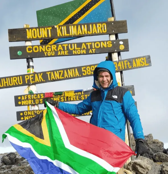
Very early in the morning (around midnight) we commence our push to the summit. This is the most mentally and physically challenging part of the trip. The wind and cold at this altitude and at this time can be extreme. We ascend into the darkness for a few hours. There will be many small breaks. This is to prevent altitude sickness symptoms. At Gilman's Point (5669m - 18600ft), you'll be rewarded with the most beautiful sunrise you have ever seen. Finally, we arrive at Uhuru Peak - the roof of Africa. You have made it. Congratulations! Uhuru Peak - Horombo Huts (16 kilometres - 10 miles, 4-5 hours, 2000m - 7000ft descent) After ascending Uhuru Peak, the day has only just begun. We now prepare for our descent. We skip the Kibo Huts and immediately descend to the Horombo Huts. It has been a long day and the sleeping bag is calling.

Day 7 - Horombo Huts - Marangu Gate (20 kilometres - 12 miles, 5-6 hours, 2000m - 7000ft descent)
On our last day we make a long descent through the tropical rainforest. Once we get to the gate we collect our certificates: Green for Gilman's Point and gold for Uhuru Peak. You have reached the highest point in Africa. *This itinerary is subject to change and may vary from one tour operator to another.

Find more itineraries of the Rongai route here!

About us

At Bookatrekking.com you'll find the treks that will make your life unforgettable. Whether you want to discover the Inca Trail or climb the Kilimanjaro, Bookatrekking.com offers a wide and varied range of services. Here, no false promises are made, prices are transparent and every booking is confirmed immediately. Find, compare, book and trek.

Contact our trekking expert

Our trekking experts are happy to help you out! Please submit your inquiry and we will get back to you as soon as possible!

+1 6466654681
+44 3455280097
+34 960130010
+31 850161354
info@bookatrekking.com

+
Filter Book now Contact us