A Picos de Europa hut-to-hut trek with Bookatrekking starts from 260 euros per person (for two people sharing) for the 3-day Loop and from 425 euros per person for the 5-day Medium Trek. With a hotel night in Arenas de Cabrales before and after, the Loop Including Accommodation (5 days) starts from 455 euros and the Medium Trek Including Accommodation (7 days) from 540 euros (prices as of October 2026; prices vary by departure date). Travelling solo costs more: from 310 euros for the 3-day route and from 510 euros for the 5-day route.
Included: all accommodation, half board in the huts, breakfast in hotels where possible, and the Bookatrekking app with offline GPS navigation, route descriptions and accommodation details.
Not included: travel to and from Sotres or Arenas de Cabrales, local transport (bus, taxi, cable car at Fuente Dé), lunch, travel insurance and personal expenses. Budget roughly 40 to 60 euros per person per day for lunch and drinks on the trail.
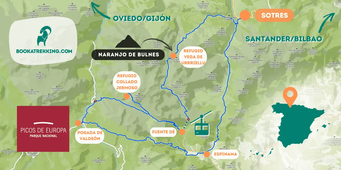
The cable car at Fuente Dé is not included: the ticket down on day 2 is bought at the upper station El Cable; for going up (day 3 of the 3-day route), book a timed slot online at least 24 hours ahead to avoid a wait.
You can book for one person or more; solo travellers pay the higher per-person price above. Cancellation is free up to eight weeks before departure. Is your preferred date not available? Contact us: we check alternatives and last-minute cancellations for you. After you book, our team confirms every hut and hotel with the local partners by hand, which is why we ask you to hold off booking flights or the ferry until your trek is confirmed. See full details on the 3-day Picos de Europa Loop page or the 5-day Medium Trek page.
How difficult is hiking in the Picos de Europa?
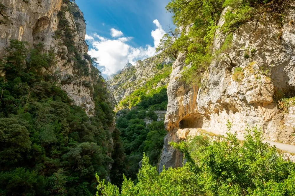
Day walks such as the Ruta del Cares through the Cares Gorge are moderate if you are reasonably fit and have no vertigo. Our hut-to-hut trek is a different matter: it is graded demanding, with roughly four kilometres of T3 terrain on day 2 involving scrambling, loose rock and unmarked ground. It is for experienced mountain walkers only, not a first hut-to-hut trip.
How long does it take to trek the Picos de Europa?
Our self-guided trek takes three walking days (about 34.6 km in total) for the core Loop, or five walking days (about 59.4 km) for the Medium Trek. If you add a hotel night in Arenas de Cabrales before and after the walking days, the total trip is five or seven days respectively.
Can you hike hut to hut in the Picos de Europa?
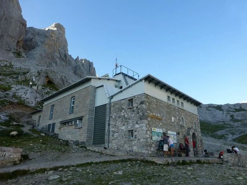
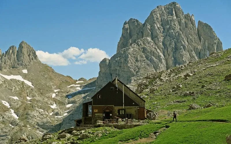
Yes. Refugios such as the Refugio Vega de Urriellu and the Refugio Collado Jermoso offer dormitory beds with half board, and our self-guided trek links them stage by stage. You carry your own pack; there is no luggage transfer to the high mountain huts. See the full details on the Picos de Europa Loop page.
What is the best hike in the Picos de Europa?
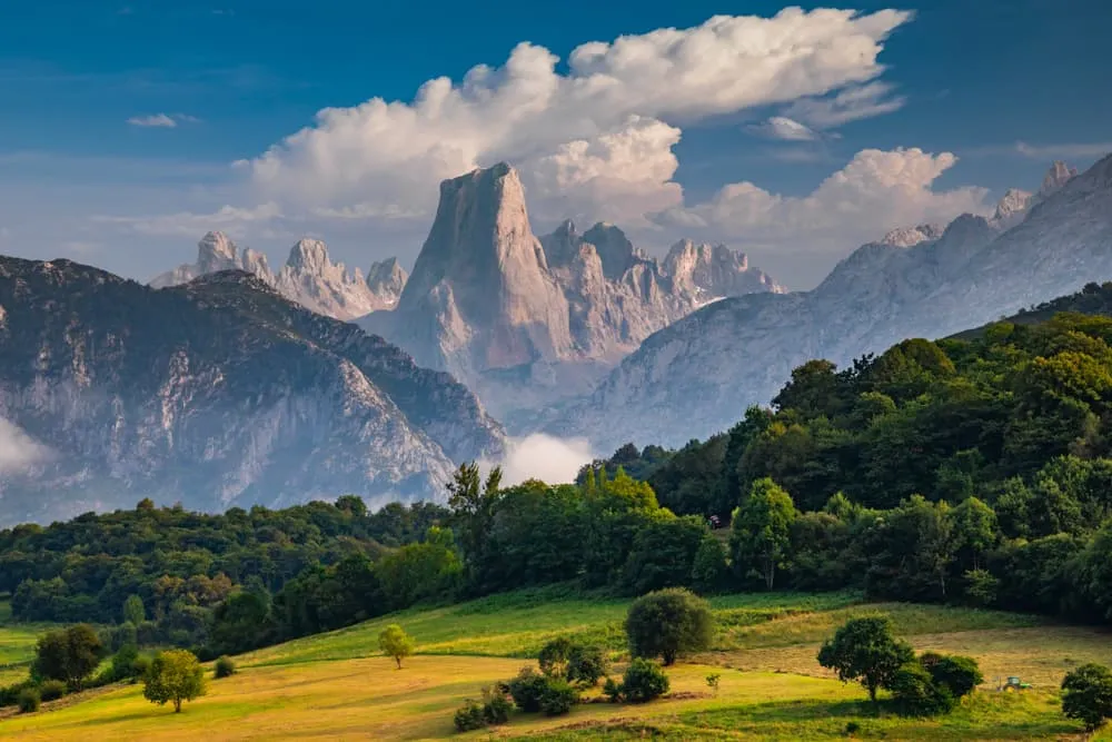
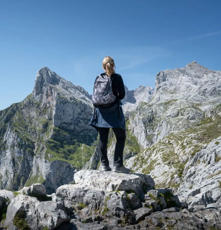
For a single day, most walkers rate the Ruta del Cares through the Cares Gorge as the standout, though "best" is a matter of taste. For a multi-day experience, the route from Sotres past the Picu Urriellu and across the Horcados Rojos to Fuente Dé combines technical interest with big mountain scenery.
When is the best time to hike the Picos de Europa?
Early summer to mid-autumn is the window for the high routes. Snow can linger on paths into June, especially in the Jou Sin Tierre. July and August are the busiest months on trail and in the huts; June, September and October are noticeably quieter. A hut-to-hut trek in winter or early spring is not possible: the high paths are under snow.
Which town is the best base for the Picos de Europa?
Arenas de Cabrales is the best base for the Cares Gorge and for our hotel variants; Sotres is the right choice for the high central massif and our trek start; Cangas de Onís is the gateway to the Lagos de Covadonga; Potes or Espinama suit the southern side and the cable car at Fuente Dé. There is no single best answer: it depends on what you plan to do.
Are there wolves in the Picos de Europa?
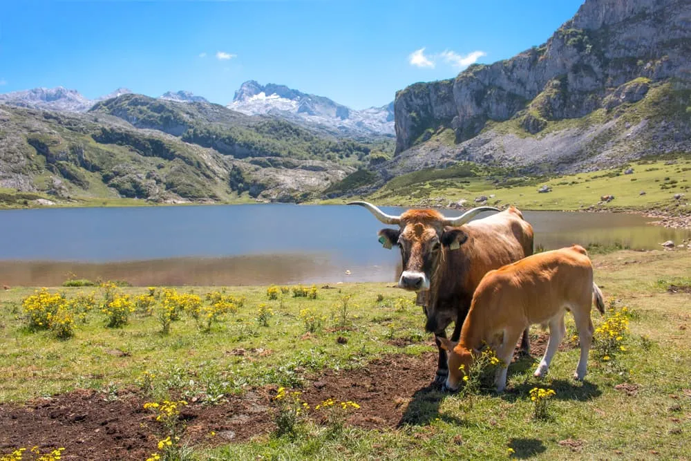
Yes, wolves have returned to the Picos de Europa National Park and live there again, though you are very unlikely to see one on the trail. A brown bear occasionally passes through, but encounters are extremely rare. What you are far more likely to spot are chamois on the rocky ridges, griffon vultures riding thermals and golden eagles overhead.
How long does it take to walk the Ruta del Cares?
Allow roughly 3 to 4 hours each way for the approximately 12 kilometres between Poncebos and Caín. Out and back from Poncebos makes a full day; set off early in summer to avoid the crowds and carry plenty of water.
Which airport is closest to the Picos de Europa?
Santander and Asturias airports are the nearest to the northern Picos de Europa, where the trek starts. From Bilbao the bus journey to Arenas de Cabrales is longer. All three connect by Alsa bus to Arenas de Cabrales; check which has a direct flight from your home airport before deciding.